Erddig: A Historic Country House and Estate in Wales
Site at a Glance
- Popularity
- High
- Country
- United Kingdom
- Primary era
- Early Modern
- Eras represented
- Medieval, Early Modern, Modern
- Civilizations
- British, English, Norman
- Site type
- Domestic
- Remains
- Manor House
On this page16 sections
History
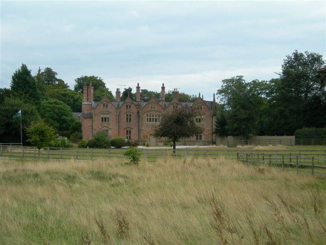
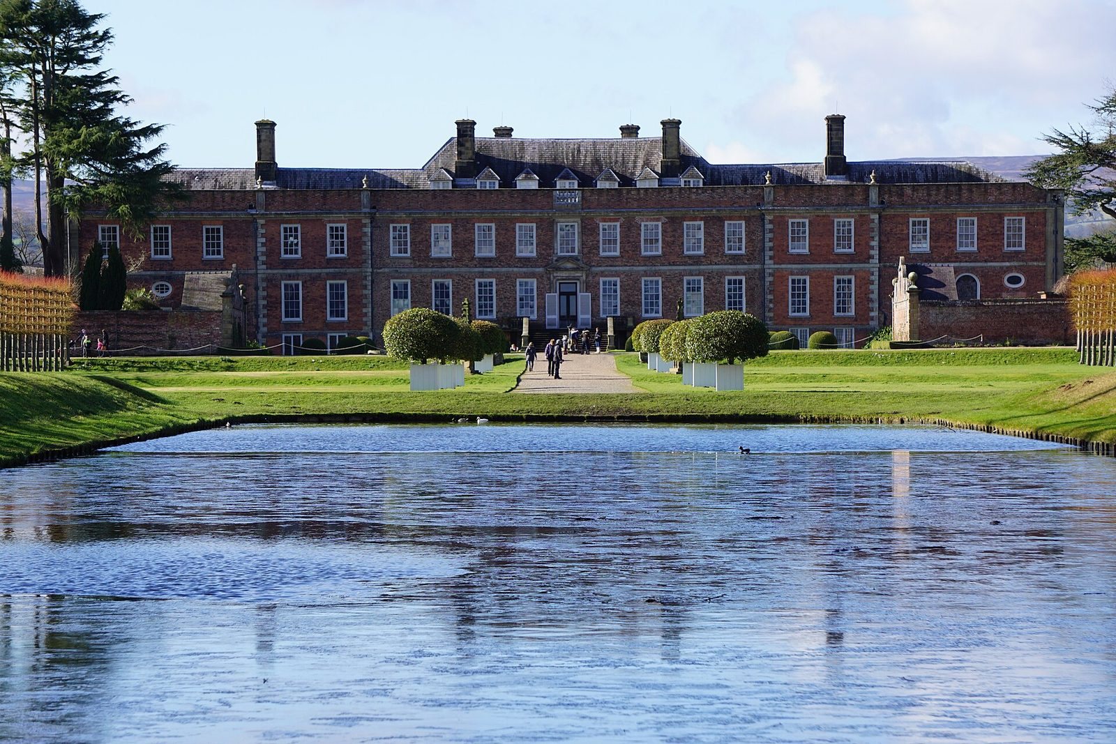
Erddig is a country house and estate in Wales, United Kingdom. Its central house was built in the late seventeenth century for Joshua Edisbury, Denbighshire’s High Sheriff, a senior county official, to designs by Thomas Webb. Edisbury borrowed heavily to pay for the project, became bankrupt, and had to give up the estate.
Meller and the Yorke succession
John Meller acquired Erddig after buying its mortgage from Sir John Trevor. A Master of Chancery, a judicial official, Meller refurbished and enlarged the property. He supported the House of Hanover, the dynasty that succeeded the Stuarts, and distrusted neighbours in a region where Jacobites, supporters of the Stuart claim to the throne, were influential.
Meller died without children in 1733, leaving Erddig to his nephew Simon Yorke. The estate then remained with the Yorke family for almost 250 years.
Landscape and earlier earthworks
The gardens were laid out between 1718 and 1733. Landscape designer William Emes shaped the surrounding park between 1767 and 1789.
Wat’s Dyke, a bank-and-ditch earthwork that could mark a boundary, crosses the park. It was probably constructed in the eighth century under Æthelbald, king of Mercia, to mark the border between Mercia and the Kingdom of Powys. A castle in the park was probably established around 1090, soon after the Norman conquest of England in 1066. A royal financial record from 1161 names it as Wristleham. The castle later became redundant as the border between England and Gwynedd shifted west toward Ruthin and Denbigh.
The Yorkes, estate workers, and preservation
The Yorke family developed an unusual tradition of commemorating its servants. Philip Yorke (1743–1804) began recording estate workers in portraits and verse. Portraits, photographs, and poems, together with the preserved servants’ quarters and workshops, offer evidence of workers’ lives from the eighteenth to the twentieth centuries.
After Philip Yorke II died in 1922, falling income led to the dismissal of staff and a decline in the estate. Under Simon Yorke IV, the house deteriorated. In March 1973, the last Yorke squire, Philip Scott Yorke, gave Erddig to the National Trust, a UK conservation charity, with the condition that nothing be removed from the house. A coal-mine shaft beneath the building had collapsed several years earlier, causing about 1.5 metres of subsidence and threatening its stability. The National Trust strengthened the house with compensation from the National Coal Board, the public body responsible for the British coal industry; proceeds from the sale of 63 acres of parkland also supported restoration, completed in 1977.
Erddig became a Grade I listed building in 1952, the highest listed-building grade in Wales and England, and is identified as a National Monument of Wales. Its parks and gardens are also Grade I-listed in the Cadw/ICOMOS Register of Parks and Gardens of Special Historic Interest in Wales.
Remains
The estate covers about 1,900 acres, including a landscaped park of roughly 1,200 acres. Its principal features include the house, a walled formal garden, estate work buildings, and earthworks spread through the park.
The house
Exterior and development
The central block is the oldest part of the house. Side wings were added in the 1720s. In 1772–73, the west entrance front was covered with ashlar, masonry made from carefully squared and dressed stone, and bedrooms were moved from the ground floor to the first. The service wings beside the entrance were replaced by a new wing to the south, completed in 1774. James Wyatt is also associated with architectural work at Erddig during the 1770s.
Principal rooms and collections
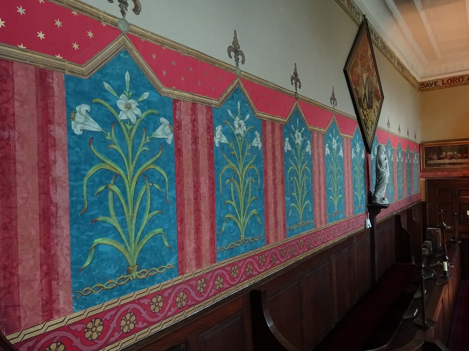
The principal rooms retain eighteenth-century furniture and antiquities, many of which belonged to John Meller, as well as a notable collection of seventeenth-century furniture. The state bed is a rare lit à la duchesse, a bed with a canopy extending over it; it retains its original hangings and a silk-satin cover embroidered with Chinese designs. Chinese wallpaper survives in the State Bedroom. The Music Room contains a portrait of Judge Jeffreys, a seventeenth-century English judge. A room in the house displays the arms of leading families of North Wales.
Servants’ quarters
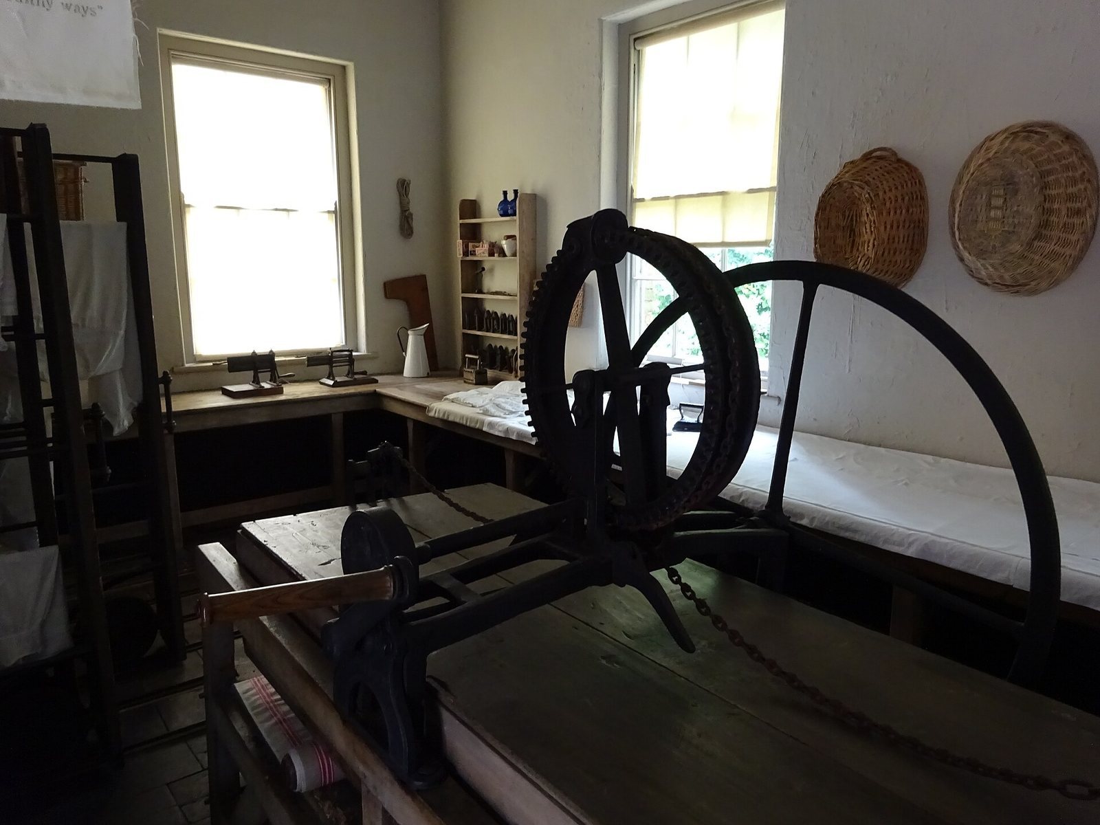
The interior retains a division between the servants’ work areas below stairs and the principal rooms above. The servants’ quarters are well preserved and include a laundry, bakehouse, kitchen, and scullery.
Garden and estate buildings
Walled garden
The restored formal garden contains rare fruit trees, a canal, a pond, and a Victorian parterre, a formal arrangement of ornamental beds. Recesses in its yew hedges may have sheltered beehives. Around 100 ivy cultivars are held as a recognized collection for plant conservation. At the end of the canal stand iron gates and railings made by the Davies brothers of nearby Bersham for Stansty Park and moved to Erddig in 1908. The work is attributed to Robert Davies.
Workshops and Midden Yard
The estate’s work buildings include a joiners’ shop and smithy. The Midden Yard contains a sawmill and cart sheds. A stationary steam engine powered sawing and turning in the mill. Water from a nearby river was raised uphill by a hydraulic ram, a device that uses flowing water to pump water to a higher level; it received water through a feature called Erddig’s Cup and Saucer.
Stable Yard
The Stable Yard includes stables and a tack room, along with carriages, vintage bicycles, and vintage cars.
Park earthworks
Wat’s Dyke
About 1,500 metres of Wat’s Dyke crosses the park from north to south, west of the house. Its bank reaches up to two metres in height, with a ditch on its western side. Emes’s landscaping removed part of the earthwork near the house. An excavation in 2018 found that most of the ditch and part of the bank remained intact.
Castle earthworks
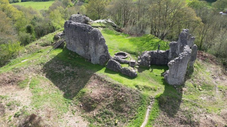
The castle earthworks occupy a steep promontory above the meeting of the Black Brook and River Clywedog, on a prehistoric hill, and incorporate part of Wat’s Dyke. The site covers about 200 square metres. Its southern courtyard, or bailey, measures roughly 90 square metres; the slightly higher raised mound, or motte, lies to the north, with a man-made ditch between them. The promontory protects the bailey on its east and west sides, while another constructed ditch bounds it to the south.