Empúries: A Greek Trading Port and Roman Municipium in Spain


Site at a Glance
- Rating
- 4.6
- Popularity
- Medium
- Country
- Spain
- Primary era
- Classical
- External website
- Open
- Eras represented
- Classical
- Civilizations
- Ancient Greek, Roman
- Site type
- City
On this page30 sections
History
Empúries is an ancient Greek and Roman settlement in Spain, near L’Escala, founded by Phocaean colonists around 575 BC on an island at the mouth of the Fluvià. Developed during the Greek and Roman periods, it began as an emporion, a commercial port, and later became the Roman municipium of Emporiae. Its history reflects contact between Greek settlers, the Indigenous Indigetes, Carthaginian power, and Rome.
Foundation and the Greek city
The first settlement was established in territory inhabited by the Indigetes, an Indigenous people of northeastern Iberia. It occupied an island that later became known as the Palaiapolis, meaning “old city.” Around 550 BC, the colonists founded a mainland settlement called the Neapolis, or “new city.” Together, the two communities formed the Greek city of Emporion, while the older island settlement remained occupied and later served as an elevated religious and fortified center.
The Phocaeans depended initially on Massalia, their major western Mediterranean connection, and took part in trade linking Massalia, Tartessos, the Iberian interior, and the wider Mediterranean. Agricultural produce and ores from local communities were exchanged for imported goods such as wine and ceramics. Emporion’s position beside a natural harbor gave it an important role in these exchanges.
The city’s population grew considerably after Phocaea was conquered by Persia in 546 BC and after the Battle of Alalia in 535 BC. Phocaean refugees reached Massalia and Emporion, strengthening the settlement. During the fifth century BC, Emporion prospered through Greek commerce, especially its connections with Athens, and became one of the largest Greek colonies in the Iberian Peninsula.
Relations with the Indigenous population
Emporion developed political and commercial agreements with the Indigetes. Their nearby settlement is called Indika in the ancient evidence, although the name may have been Undike. Greek and Indigenous communities were described as living separately, perhaps with a wall between them, but the interpretation of this division remains debated.
From the fourth century BC, Emporion expanded, issued its own coins, and became a major economic center. Its earliest issues were uninscribed, while later coins carried the letters EM. Subsequent drachmas showed a horse, Pegasus, and the head of Arethusa, a Greek nymph associated with Artemis. Indigenous imitations of Greek coin types helped spread the use of money through the surrounding territory. Coins of the Indigenous mint of Untikesken later referred directly to the Indigetes and combined Athena in a Corinthian helmet with a modified Pegasus.
Trade and religious life left evidence beyond the coins. A Greek commercial letter on a rolled lead sheet, found in 1985 in the northern Greek city, contains a private order from an Ionic-speaking merchant concerning the purchase and transport of goods. An Attic red-figure column krater made in Athens around 460–450 BC reached Emporion through maritime trade. Used to mix wine with water, it carries figural decoration associated with the Agrigento Painter.
Roman intervention and the creation of Emporiae
Competition from the Barcids, the Carthaginian family that expanded Punic power in Iberia, contributed to an economic recession at Emporion. The city sought Roman assistance, and in 226 BC Rome concluded the Ebro Treaty with Hasdrubal the Fair, a Carthaginian commander and statesman. The agreement restricted Punic expansion north of the Ebro River.
Empúries allied itself with Rome during the Second Punic War, the conflict between Rome and Carthage that began in 218 BC. Roman forces under Gnaeus Cornelius Scipio Calvus landed at the port that year, attacking Hannibal’s supply lines and beginning the Roman conquest of Hispania. Roman reinforcements commanded by Publius Cornelius Scipio Africanus arrived there in 210 BC.
During campaigns against Indigenous resistance around 195–197 BC, Marcus Porcius Cato established a Roman military camp in the region. This early Roman presence did not immediately end the independence of the Greek city, which continued as an allied community. A planned Roman city was founded west of the Neapolis late in the second or early in the first century BC, probably around 100 BC. The Roman and Greek cities then coexisted for at least 150 years.
Empúries lost its autonomy after supporting Pompey in the civil war against Julius Caesar. Roman veterans were settled nearby, and the relationship between the Greek settlement and the Roman city changed. Under Augustus, Rome’s first emperor, the Greek and Roman communities progressively received Roman citizenship and were united physically and legally as the municipium Emporiae. Its population included people of Greek, Iberian, and Italian origin.
Decline and Late Antiquity
From the first century AD, Empúries declined as Tarraco and Barcino increased in influence. Changing trade routes, fewer imported goods, and the possible silting of the Fluvià harbor contributed to the city’s economic difficulties. Parts of the settlement were being abandoned by the late first century or the third century, and the Roman city was eventually deserted.
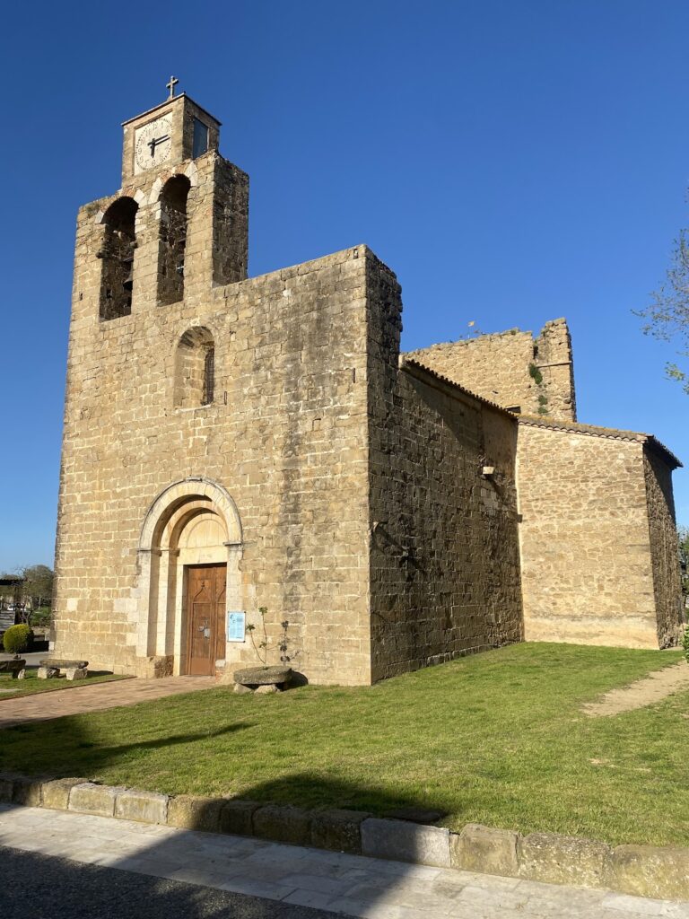
Some population remained into Late Antiquity, the later Roman and early post-Roman centuries. Empúries became a bishopric in the fourth or fifth century, and a bishop of the Empúries community is recorded in 616. The Neapolis was converted into a burial area, while the former Palaiapolis around Sant Martí d’Empúries became the principal settlement.
Medieval Sant Martí and the rediscovery of Emporiae
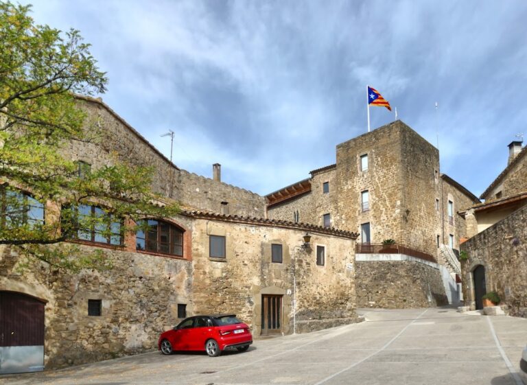
After the Visigothic period and the Muslim conquest, written evidence becomes scarce. Under Carolingian influence, Sant Martí d’Empúries became the center of the County of Empúries. Ermengar used it as a residence from 812, although the comital center later moved to Castelló d’Empúries, probably during the tenth or eleventh century.
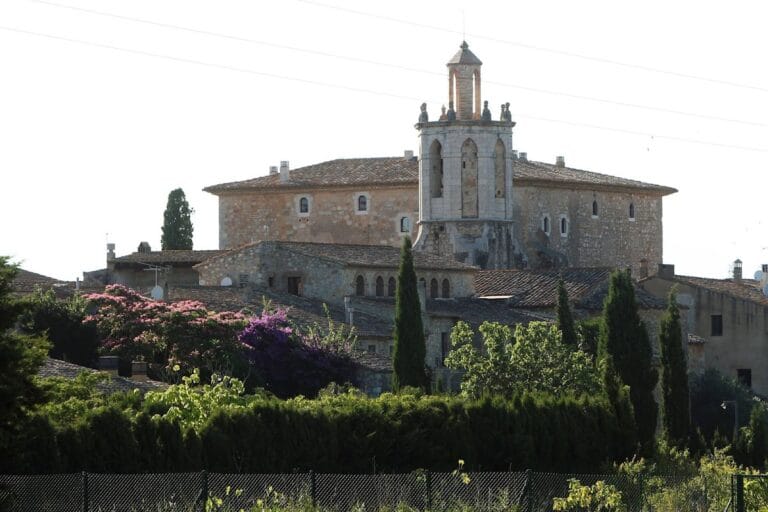
Sant Martí experienced military conflict in 1285 and again during the Catalan revolt against John II of Aragon, when it endured a royal siege in 1467–1468. Its fortifications later deteriorated or were quarried, and the population center shifted south toward L’Escala. A Servite monastery dedicated to Santa Maria de Gràcia was founded in 1606 on an earlier hermitage. It was abandoned in 1820 or 1835 during the confiscation of religious property.
The ancient settlement was identified as Emporiae in the fifteenth century by Joan de Margarit, bishop of Girona, and was described in 1609. Earlier collecting and stone extraction had already removed material from the ruins. Stone from Empúries was used in parts of the fortifications of Roses and in the citadel of Perpignan.
Excavation and archaeological study
The first publicly funded excavations took place in 1846–1847 under Julián González de Soto, Gabriel de Molina, and Joaquim Pujol i Santo, with support from the Diputació de Girona. Limited results and the exhaustion of the subsidy brought the work to an end.
Systematic archaeology began in 1908 through the Junta de Museus de Barcelona. Josep Puig i Cadafalch initiated the project, while Emili Gandia i Ortega directed much of the fieldwork and developed a method for recording archaeological layers. Pere Bosch Gimpera later joined the direction of the work. Excavation was interrupted by the Spanish Civil War, then resumed in 1940 under Martín Almagro Basch, who investigated the Roman walls, forum, cemeteries, and houses. Eduardo Ripoll Perelló later directed research that included excavations around the forum and searches for the Indigenous settlement.
From the 1980s, work expanded knowledge of the Neapolis and Roman city, including the southern sanctuary area and the northern part of the Greek settlement. Excavations continue under the Museu d’Arqueologia de Catalunya, which manages Empúries as a center for archaeological research, conservation, documentation, and interpretation. The excavated area remains partial, comprising approximately 20 percent of the Roman city and less than 25 percent of the site as a whole. Empúries is protected as a nationally important archaeological site and was placed on Spain’s UNESCO World Heritage tentative list in 2002.
Remains
The archaeological site includes the Palaiapolis, the Neapolis, the Roman municipium, and the still-unlocated Indigenous settlement associated with the Indigetes. These areas developed around a natural harbor between the former mouths of the Fluvià and Ter. Their remains preserve successive urban layouts, sanctuaries, public buildings, houses, cemeteries, roads, defensive works, and objects connected with trade and religious practice.
The Palaiapolis and its early houses
Island settlement
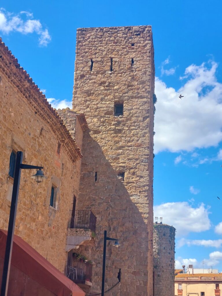
The Palaiapolis occupied a former island that is now joined to the mainland and is largely covered by the medieval settlement of Sant Martí d’Empúries. Its ancient harbor has been buried by sediment and is partly occupied by cultivated land, so archaeological investigation in this area has remained limited. A substantial ancient wall enclosed the settlement. Sections exposed in 1962, 1963, and 1975 belong to an area repeatedly reused and altered, where ancient, Late Antique, and medieval construction cannot always be separated clearly.
Early houses and Bronze Age objects
Excavation beneath the Plaça Major at Sant Martí revealed rectangular houses dating to approximately 575–550 BC. Their stone foundations or lower courses supported walls and compacted-earth floors, providing physical evidence for the earliest Phocaean settlement.
A group of seven Bronze Age Iberian tools found at Sant Martí in 1998 predates the Greek colony. The objects, which include axes, a chisel, and part of a sickle, had been concealed in a limestone depression around the ninth century BC. They were grouped and partly fragmented, probably for later remelting.
The Neapolis walls and civic spaces
Walls, towers, and gates
The Neapolis occupied an irregular rectangle about 200 by 130 meters, with its harbor to the north and its western wall beside the Indigenous settlement of Indika. Its walls were constructed and repeatedly modified between the fifth and second centuries BC. The southern wall built in the second half of the second century BC used large limestone blocks, many taken from an earlier Greek wall of the fourth century BC located about 25 meters farther inside the city.
The southern defenses were moved outward during the second century BC to create room for new temples and porticoes. Two square towers and a large southwest bastion strengthened this line. Beneath the later Serapis precinct, a third-century BC proteichisma, or outer defensive parapet, helped keep siege engines away from the main wall. A large western watchtower and a fifth-century BC tower in the southern area probably belonged to an earlier defensive system. The southern entrance, flanked by two square towers, is the only surviving documented gate of the Neapolis.
Agora and market
The central civic district contained an agora, the Greek public square and marketplace, together with a stoa, or covered colonnade, and a market built in the mid-second century BC. The complex replaced part of an earlier residential quarter and covered about half a hectare. Its porticoed square measured approximately 52 by 40 meters.
The agora’s northern side had a two-storey portico 52 meters long, while single-storey colonnades stood along the other three sides. Its civic and commercial functions declined after the Roman forum became the principal religious and administrative center of the unified city.
Domestic buildings
The visible houses of the Neapolis mainly belong to its later occupation. Some followed the Greek house type, with a peristyle, or colonnade around a courtyard or garden. After the Roman arrival, other houses adopted the Italian atrium plan, including an impluvium, a basin that collected rainwater through an opening in the roof, and sometimes a peristyle. Floors included decorated opus signinum, a mortar-based flooring material incorporating decorative fragments. A harbor-area room preserves the Greek inscription “comfortable bed.”
Sanctuaries and religious remains
Sanctuary of Asclepius
The sanctuary area in the southwest of the Neapolis developed around a fourth-century BC precinct associated with Asclepius, the Greek god of medicine. When the southern wall was expanded, the sanctuary was brought within the city and substantially altered. The complex appears to have included three temples, cisterns, a well, and an abaton, a building where patients sought healing through sacred sleep.
The cisterns supplied water for purification rites, while the well may have held snakes sacred to Asclepius. The sanctuary occupied an elevated terrace. A marble statue traditionally identified as Asclepius was found there in 1909 with pieces of a serpent. Made in two sections in an eastern Mediterranean Hellenistic workshop, the original is preserved in Barcelona and a copy is displayed at Empúries. A separate head from the same area has been identified as a youthful Apollo Lykeios.
Serapis precinct
The eastern sanctuary was dedicated to Serapis, a Hellenistic and Roman deity associated with the religious traditions of Ptolemaic Egypt. It included a porticoed enclosure measuring about 25 by 46 meters, with an earlier phase dating to the second century BC. A later temple was built there in the first century BC.
The temple was a tetrastyle, prostyle building, with four columns across its front and a row of columns at the entrance. It had a Doric design, a rectangular cella, or main enclosed room, and stairways at the sides. Built with opus certum, its podium survives to about 1.80 meters high. A bilingual inscription records the dedication of the temple and portico by a native of Alexandria.
Ritual objects
A fifth-century BC Greek cerno, a ring-shaped offering vessel with attached receptacles, was found in the harbor quarter in 2008. Such vessels held offerings of wine, oil, milk, or honey. The concentration of similar vessels in this area suggests a cult connected with maritime activity or with female deities such as Demeter and Kore.
A terracotta figure from the southern Greek cemetery shows a seated baker holding a circular shovel with five round loaves and a smaller bar of bread. Traces of white, black, and red paint survive on the figure, which belongs to the Greek tradition of genre scenes and has lost one ear.
Harbor and military evidence
Harbor structure
The former harbor district northeast of the Neapolis contains a large structure traditionally called a Greek harbor mole. Carefully dressed stone blocks surround an opus caementitium core, and part of the structure rests on a rocky projection from the coast. It measures approximately 79.4–82 meters long, 5.3–6 meters wide, and 4.8–6.5 meters high.
Its exact date and function remain uncertain. It may have served as a landing structure, although a breakwater protecting the harbor from eastern storms is considered more likely. Its construction cannot be earlier than the Roman Republican period.
Ballista components
A deposit near the southern gate, found in 1912, contained metal parts of a Hellenistic torsion weapon. The pieces formed the central frame of a ballista, a large mechanical missile weapon, and their dimensions closely match ancient descriptions. A reconstruction was later produced from the archaeological find and ancient texts.
The Roman city
Urban plan and military station
The Roman city formed an elongated rectangle about 300 by 700 meters or 350 by 750 meters. An orthogonal street grid divided it into insulae, or city blocks, measuring about 35 by 70 meters. The settlement covered roughly 21 hectares, although slightly more than four hectares have been excavated and conserved.
Parts of an earlier Roman military station, or praesidium, were incorporated into the planned city. A cistern complex north of the excavated Roman houses is an important surviving element. A transverse wall divided the pomerium, the formal urban boundary, into smaller northern and larger southern sections, although its precise function remains uncertain.
Houses and mosaics
Three large houses were excavated in the eastern part of the Roman city above the harbor. Dating mainly from the first century AD, they followed the Italian house type and included atria, peristyles, gardens, and large water basins. Their walls used clay on stone foundations, while their floors included mosaics and opus signinum.
One house preserves a mosaic showing the sacrifice of Iphigenia. Made around the first century BC in an eastern Mediterranean workshop, it uses very small colored tesserae in the opus vermiculatum technique. The scene reproduces a Greek painting of the fourth century BC and presents the myth in a theatrical form associated with Euripides’ tragedy.
A second mosaic, discovered in 1849 in a Roman house that remains unexcavated, decorated the center of a banquet room, or triclinium. A domestic altar found in another Roman house in 1956 retains painted images of a rooster, two intertwined snakes, and green garlands with red fruits. It served household worship and offerings connected with fertility and reproduction. The painted surface was later removed from its original support for museum display.
Roman boundary and forum
The Roman wall is best preserved along the south. Its lower course consists of large polygonal limestone blocks, while the upper part uses opus caementitium, Roman cast concrete made with aggregate and mortar. The wall stands about three meters high. A southern gate preserves ancient cart ruts in nearby masonry. A phallic carving on a neighboring limestone block probably carried protective, fortunate, fertile, or strength-associated meanings in antiquity.
The forum occupied four city blocks along the Cardo Maximus, the principal north-south street. It served as the religious, administrative, judicial, and commercial center. A large south-facing temple probably honored Jupiter Optimus Maximus or the Capitoline Triad of Jupiter, Juno, and Minerva. The tetrastyle temple stood on a raised podium, much of which has disappeared, and its plan included later alterations and side stairways.
Three double-aisled porticoes with underlying cryptoporticoes, covered or partly underground passages, surrounded the temple. Shops opened onto the square, while a civil basilica and a curia, or council house, stood on the eastern side. The basilica and curia were built during the reign of Augustus.
Amphitheater and baths
Outside the southern Roman wall stood an amphitheater and a rectangular enclosed area identified as a palaestra, an exercise or training space. The amphitheater measured approximately 93 by 44 meters. Its simple construction probably included wooden seating carried on masonry foundations.
Roman baths were later built in the Greek city. In the fourth century, a small rectangular early Christian basilica with an apse, the curved end of the building, was constructed over the baths and associated with a Christian cemetery.
Cemeteries and Christian remains
Greek and Indigenous burial grounds
Cemeteries surround the ancient settlements and preserve more than a thousand years of burial activity, from the seventh century BC to the Middle Ages. The burial areas include Greek-Indigenous, Late Republican, early imperial, and late imperial phases.
The Greek-Indigenous cemeteries lay south and west of the Neapolis. The western cemetery contained Hellenized Indigenous burials, mainly cremations. Southern cemeteries included both cremation and inhumation and continued in use from approximately the fifth century BC into the sixth century AD.
The Portitxol cemetery, associated with the Palaiapolis, dates to the sixth century BC. The Bonjoan cemetery, beneath the modern parking area, contained both cremation and inhumation and remained in use for about a millennium. At Les Corts, southwest of the city, small square-built tumuli held cremations from the second and first centuries BC. The Castellet cemetery within Les Corts includes a standing funerary monument of opus caementitium, while its circular tumuli and predominantly cremation burials reflect Italian funerary practices.
Late Antique burial areas
During Late Antiquity, burials concentrated around Sant Martí and filled much of the former Greek city. They were mainly unfurnished inhumations, some probably associated with the early Christian basilica and its memorial chapel. The basilica over the former agora stoa had a mosaic pavement. A small cella memoriae, or Christian memorial chapel, was built over an earlier bath structure, and the associated southern cemetery contained approximately 500 graves.
A polychrome mosaic funerary slab from the first quarter of the fifth century was found inside the medieval church of Santa Margarida outside the ancient walls. It sealed a privileged stone sarcophagus and carries a three-line Christian inscription for a deceased person who may have been a bishop and who lived to approximately sixty years.