Dolmen D16: A Neolithic Passage Tomb in the Netherlands
Site at a Glance
- Popularity
- Low
- Country
- Netherlands
- Primary era
- Stone Age
- Eras represented
- Stone Age
- Civilizations
- Unclassified
- Site type
- Burial
- Remains
- Tomb
On this page8 sections
History
Dolmen D16 is a passage tomb northwest of Balloo in the Netherlands, dated to 3470 to 2760 BCE and attributed to the Western Group of the Funnel Beaker culture, a Neolithic archaeological culture named for its characteristic funnel-shaped pottery. The Neolithic was the later part of the Stone Age, associated with farming. D16 served as a megalithic burial monument.
Early records and nineteenth-century surveys
French maps made between 1811 and 1813 show the tomb, and Dutch clergyman and antiquarian Nicolaas Westendorp wrote about it in 1822. Leonhardt Johannes Friedrich Janssen, curator of the Dutch antiquities collection at Leiden’s Rijksmuseum van Oudheden, visited in 1847. His overview of Dutch megalithic tombs, published in 1848, included a description and a schematic plan of D16.
In 1874, Willem Pleyte, Janssen’s successor, travelled through Drenthe with photographer Jan Goedeljee and arranged for the tombs to be photographed systematically. Pleyte made lithographs from the photographs, prints produced from a prepared printing surface. Conrad Leemans, director of the Rijksmuseum, made a separate tour in 1877, with tomb plans prepared by Jan Ernst Henric Hooft van Iddekinge. Leemans’s report was not published.
At the urging of antiquary Augustus Wollaston Franks, the Society of Antiquaries in London, a scholarly organization concerned with antiquities and their study, commissioned William Collings Lukis and Henry Dryden to record the tombs before restoration changed their appearance. In July 1878, the two antiquaries surveyed 40 tombs in Drenthe, making measurements, descriptions, plans, sections, and watercolours. D16 appears as Plan XIII. Their report was unpublished at the time. Their records are held by the Society of Antiquaries, Guernsey Museum & Art Gallery, and Drents Museum, with copies at the Ashmolean Museum. In 2015, archaeologist Wijnand van der Sanden published the work with an introduction and a review of research through that year, describing Lukis and Dryden’s records as high quality.
Twentieth-century recording and conservation
Physician and amateur archaeologist Willem Johannes de Wilde recorded surviving Dutch megalithic tombs between 1904 and 1906, but his notes on D16 are lost. Archaeologist Albert Egges van Giffen included the monument in his atlas in 1918. He described it as being in poor condition, with capstones displaced from their supports. Van Giffen restored the tomb in 1952 and 1954, and the capstones were put back on their supports in 1978.
In 1987, a Danish archaeologist identified six small, cup-shaped depressions on a capstone. Since 1993, D16 has been a Rijksmonument, a monument protected under the Netherlands’ national heritage system. In 2017, the Province of Drenthe and the University of Groningen included it in a three-dimensional atlas project. The Gratama Foundation used photogrammetry, a method that uses photographs to create three-dimensional records, to document surviving Dutch megalithic tombs.
Remains
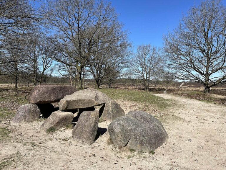
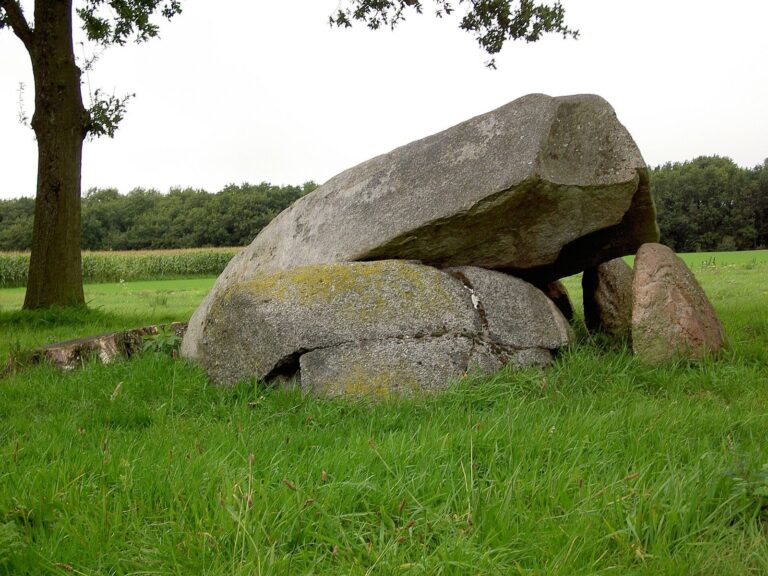
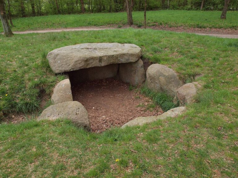
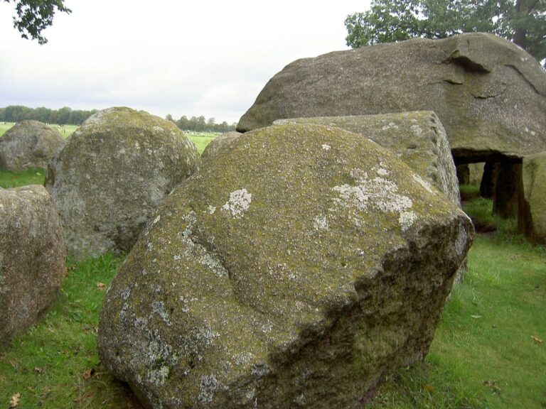
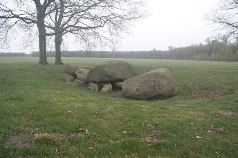
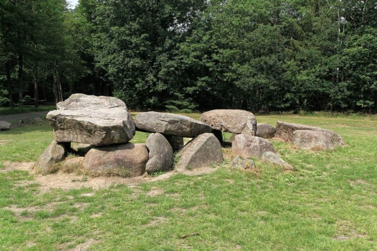
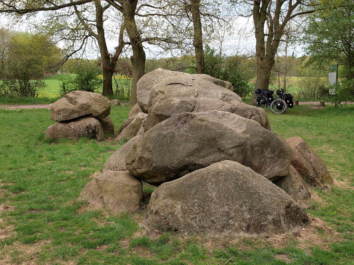
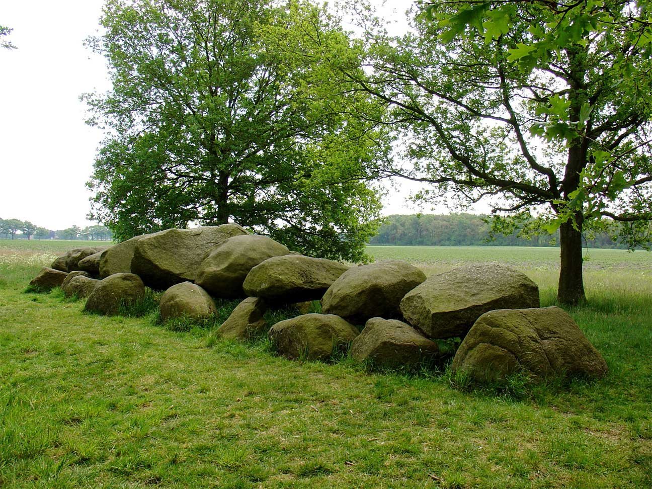
D16 has an east-northeast to west-southwest alignment, with a long stone chamber and a passage on its southern side. The tomb’s surviving features include the chamber, parts of the passage, and two stones from its surrounding enclosure.
Chamber
The chamber measures about 15.5 metres long and 3.9 metres wide. Nine stones form its northern side and ten its southern side, while a closing stone stands at each end. Nine capstones cover the chamber.
Passage and enclosure
The passage is centered on the chamber’s southern long side and was formed by two side stones and a capstone. Some of its supporting stones and its capstone remain. Only two stones survive from the surrounding stone enclosure, one to the north and one to the northeast. The remains of the burial mound have been interpreted as evidence that it had an oval shape.
Burial evidence
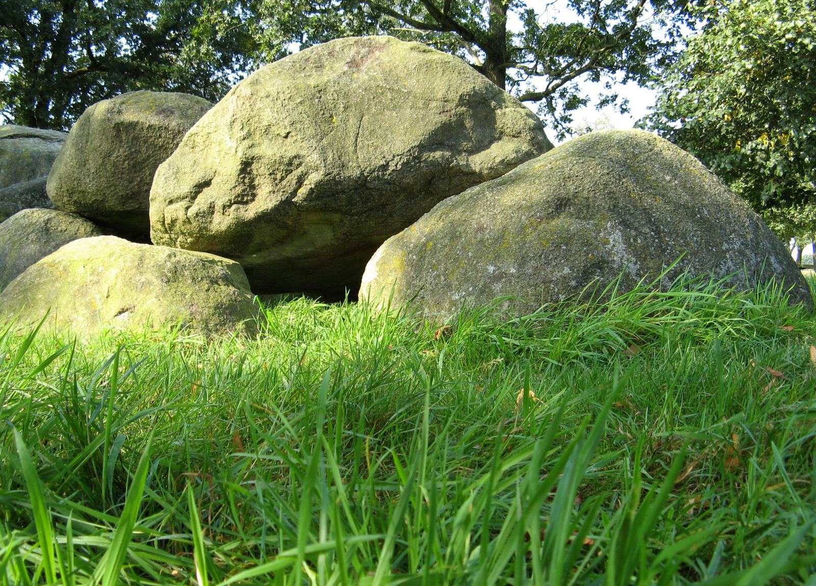
Capstone 3 bears three cup-shaped depressions in a row on its upper surface; capstone 6 has seven arranged in an oval. Cremated human remains weighing 42.1 grams belonged to two individuals whose age and sex could not be determined. A further 0.9 grams of burnt animal bone was recovered, though its role as possible tool remains or a food offering could not be established. Urn fragments were also found at the tomb.
Setting and nearby archaeology
The tomb stands in a meadow northwest of Balloo, east of a field track, on the edge of the Kampsheide nature reserve and near the western eroded edge of a boulder-clay ridge. D17 and D18 lie about 2.3 kilometres to the east-southeast, and D15 about 2.5 kilometres to the north. A probable Funnel Beaker settlement has been found nearby, and finds from it are displayed at the Drents Museum. Kampsheide also contains several burial mounds and ancient field systems known as Celtic fields, a name that does not itself establish Celtic construction.