Ancient Doclea: A Roman Municipium in Montenegro
Site at a Glance
- Rating
- 4.3
- Popularity
- Low
- Country
- Montenegro
- Primary era
- Classical
- Eras represented
- Classical, Medieval
- Civilizations
- Illyrian, Roman
- Site type
- City
On this page14 sections
History
Ancient Doclea is a Roman city in Montenegro, near present-day Podgorica, founded in the early 1st century CE as Rome urbanized the newly established province of Dalmatia. It stood on territory associated with the Illyrian Docleatae and became their largest settlement. The city developed as a Roman town while retaining a degree of local autonomy, rather than becoming a Roman colony.
Roman Foundation and Urban Growth
Doclea’s name is connected with the Docleatae, although the direction of that relationship remains unresolved. Veterans of Roman legions and settlers from Italy joined the local population during the early Roman period. Under Vespasian, the Roman emperor who ruled from 69 to 79 CE and founded the Flavian dynasty, Doclea was recognized as a municipium. This status gave its inhabitants a recognized form of civic organization and local self-government within the Roman system.
The city became an important trading center with commercial links to Italy and Greece. It also developed into a major political, cultural, and religious center for the surrounding region. During the late 3rd-century administrative reorganization of the Roman Empire, Doclea became the capital of Praevalitana, a new province formed from the southern part of Dalmatia. Its location also allowed it to control the road linking Dalmatia with Scodra.
Christianity and Late Antiquity
Christianity was established at Doclea by the 4th century, and the city was probably the seat of a bishop. Evandros, bishop of Doclea, took part in the Council of Chalcedon in 451, a major Christian council held in the city of Chalcedon. During the 6th-century reforms of Justinian I, the Byzantine emperor who ruled from 527 to 565, Doclea’s ecclesiastical administration came under the newly created Archbishopric of Justiniana Prima.
Doclea suffered repeated disasters in late antiquity. Goths attacked or ravaged the city in the 5th century, including an Ostrogothic sack in 490. A major earthquake struck in 518. Avar and Slavic incursions at the beginning of the 7th century further damaged the settlement and ended its classical urban character, contributing to its abandonment. The ancient bishopric declined after these invasions, although it was later revived under Byzantine rule and placed within the jurisdiction of the Metropolitanate of Dyrrachium.
Medieval Memory and Archaeological Investigation
Doclea experienced a revival in the 9th century and gave its name to the surrounding region. A 9th-century church found within Basilica B may have been the Church of Saint Mary mentioned in the Bar Chronicle as the coronation church of the last Doclean kings, although this identification remains tentative.
Byzantine writers later used forms of the name associated with Dioclea. This contributed to confusion with Diocletian, the Roman emperor who ruled from 284 to 305, and with another ancient city called Diocleia in Phrygia. A medieval tradition attributed Doclea’s foundation to Diocletian, even though the city existed several centuries before his reign.
In the medieval period, the abandoned settlement was remembered as a ruined city. From 1474, when the Ottomans expanded the settlement of Ribnica, later Podgorica, stone from Doclea was reused in walls and houses. European travelers, antiquarians, and scholars developed a stronger interest in the site during the 19th century. Systematic excavations began in 1890-1892 under the Russian researcher Pavle A. Rovinski, commissioned and supported by Montenegro’s ruler, Prince Nikola. J. A. R. Munro later led an English archaeological team, and Piero Sticotti published a major monograph in 1913.
Systematic work in the necropolises resumed in the 1960s after several wars had affected the site. Further investigations formed part of a 1998 project devoted to research, conservation, and presentation, with smaller-scale work continuing afterward. Since 2017, excavations have examined the central residential and commercial quarter east of the Temple of the Capitoline Triad and near the Cardo Maximus. More than 150 square metres have been excavated, and the finds have been cleaned, documented, and stored.
Doclea is protected under national law as a first-category cultural monument. Montenegro submitted it to UNESCO’s Tentative List in 2010 under criteria concerning cultural exchange, cultural traditions, and settlement development. Most of the archaeological site remains in situ, and its preserved structures retain authenticity. The city is regarded as one of Montenegro’s most important archaeological monuments and as one of the most thoroughly explored Roman towns in the southeastern part of the former province of Dalmatia.
Remains
Urban Setting and Defences
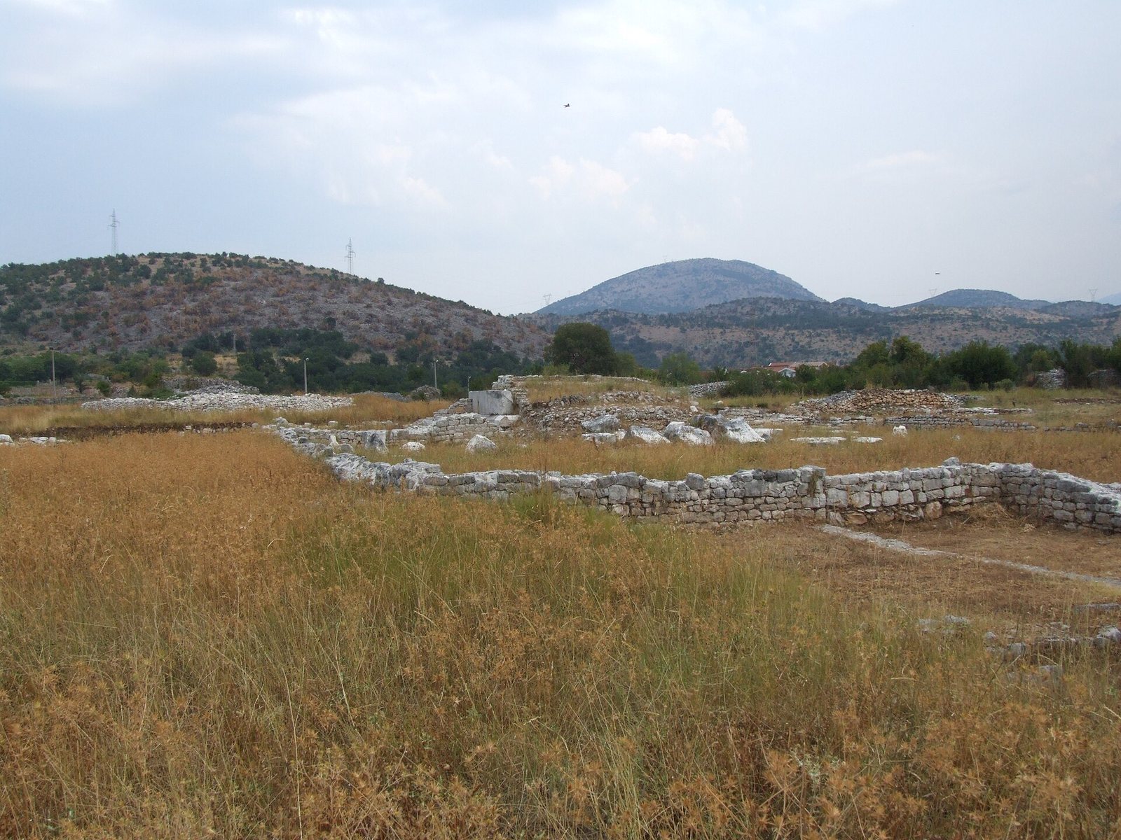
Doclea stood at the meeting point of the Zeta and Morača rivers, above the mouth of the Širalija stream and approximately 3 kilometres north of present-day Podgorica. Steep river canyons protected much of the settlement and provided a constant water supply. The city covered an irregular, elongated polygon of about 25 hectares and was adapted to the terrain. At its height, its population has been estimated at between 8,000 and 10,000 inhabitants.
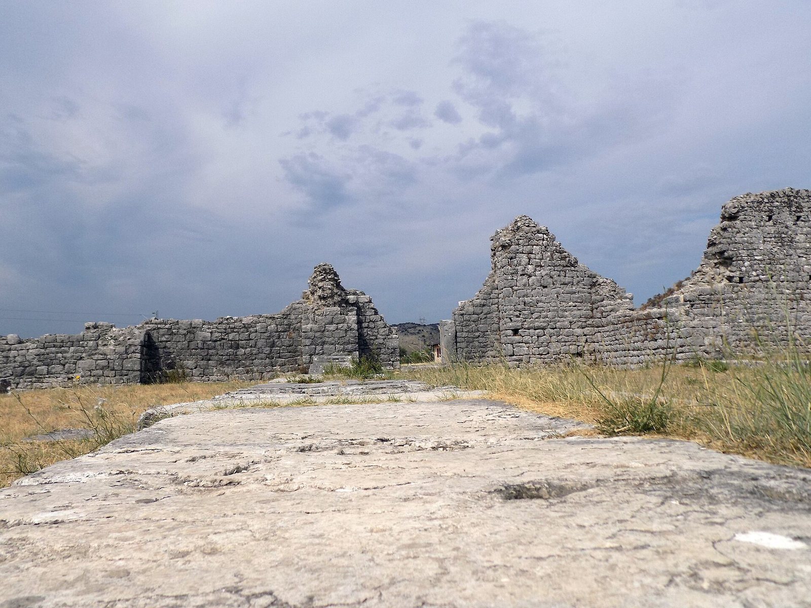
The settlement followed a Roman grid organized around the Cardo and Decumanus, the two principal streets conventionally crossing at right angles. The main urban axis connected important public and representative buildings. Defensive walls approximately 2 to 2.5 metres thick enclosed the city, with towers, battlements, bastions, and fortified bridges. The eastern wall was the strongest, while several towers remain visible on the northern side. A bastion stood above the mouth of the Širalija.
Gates and Bridges
Known entrances lay on the northern and western sides. A western gate stood near the Širalija, while a southern gate and a bridge over the Morača occupied the opposite end of the city. The western gate was rebuilt or blocked in the 3rd century, and imperial inscriptions were found around it. The broad Via Principalis ran from northwest to southeast and crossed the second principal street near the city center. A triumphal arch dedicated to Emperor Gallienus, who ruled from 253 to 268, stood along this route before being destroyed during the Second World War.
Forum and Public Buildings
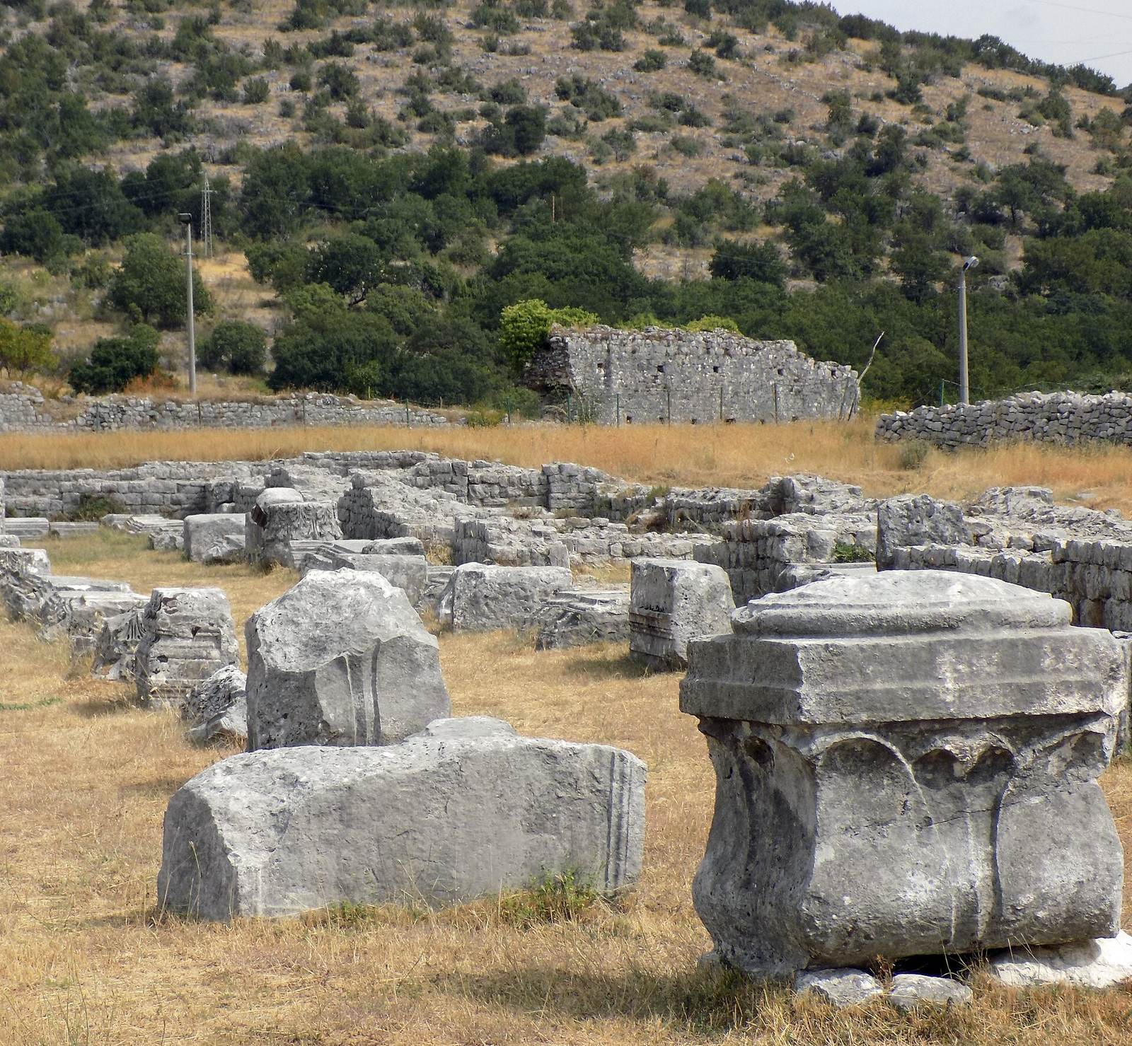
The forum lay near the crossing of the two main streets. This rectangular or square public space was enclosed by colonnaded porticoes and associated with a basilica, a large civic hall used for administrative, judicial, and commercial activities.
Forum Basilica
The forum basilica was a monumental stone building with three longitudinal naves lit from above. A decorative colonnade faced the square. Part of an inscription on its entablature records a dedication to the 15-year-old Flavius Frintanus Balbinus, whose gilded equestrian statue stood in the forum. The reason for the dedication remains unknown.
Temples and Baths
The temples of Roma and Diana formed part of Doclea’s principal public architecture. The Temple of Roma was associated with a statue of the goddess, while the Temple of Diana stood near the triumphal arch. A large palace with an atrium and spacious urban villas contributed to the representative and residential quarters.
The city baths followed a Roman plan. Their rooms included hot- and cold-water areas, changing rooms, a library, rest rooms, and a palaestra, an exercise area associated with bathing and athletic training. Floor mosaics and sculptures decorated the complex, and traces of these works survive.
Christian Buildings and Water Supply
Early Christian buildings and a large episcopal basilica dating from the 5th and 6th centuries occupied eastern areas of the city and suburbs inside and outside the walls. A cruciform church from the 9th century was found within the area of Basilica B.
Water reached Doclea from the Cijevna river system through an aqueduct that crossed above the Ribnica. The aqueduct and its associated supply network extended for approximately 13 to 14 kilometres. A secondary system brought water from the Lise area, while water pipes and sewerage remains have been found at several locations.
Necropolises and Burial Evidence
The southeastern necropolis contains more than 300 investigated tombs dating from the 1st to the 4th centuries. About 30 tombs from the same broad period were excavated in the western necropolis. The earliest graves held cremated human remains from the 1st century, continuing through the reign of Domitian and into the period of Alexander Severus. Later burials included inhumations, with numerous skeletons dating from the 3rd and 4th centuries.
Tomb Types and Grave Goods
The cemeteries contain brick-built graves, burials made with broken stone or large stone slabs, simple graves, vaulted tombs, stone sarcophagi, and family tombs of the maceria cincta type, which were enclosed by a low wall or stone boundary. Coins associated with the reigns of Antoninus Pius and Septimius Severus date some structures to the 1st or 2nd century.
Cremation burials from the 1st and 2nd centuries contained jewelry, toiletry bottles, shaped ceramic and glass vessels, fibulae, and other valuable objects. One vaulted tomb carried Jewish symbols, including a menorah, fruit, a star, and garlands with birds.
Inscriptions, Residences, and Finds
Most inscriptions from Doclea are in Latin, with a smaller number in Greek. They name Roman citizens and prominent families, including the duumviri Titus Flavius Vercunda and Marcus Flavius Fronto. A bronze statue was erected in Fronto’s honor. The inscriptions also record slaves and freed persons, together with cults dedicated to Jupiter, Liber, Venus, Domna and Domne, the local protective spirit, and all gods and goddesses.
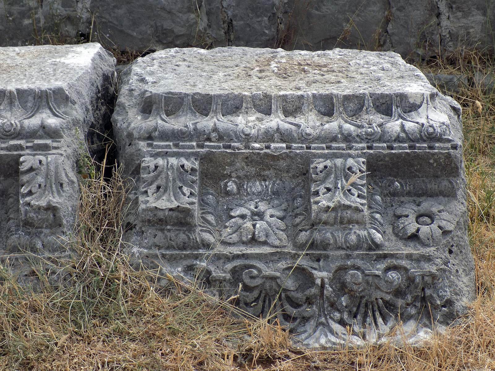
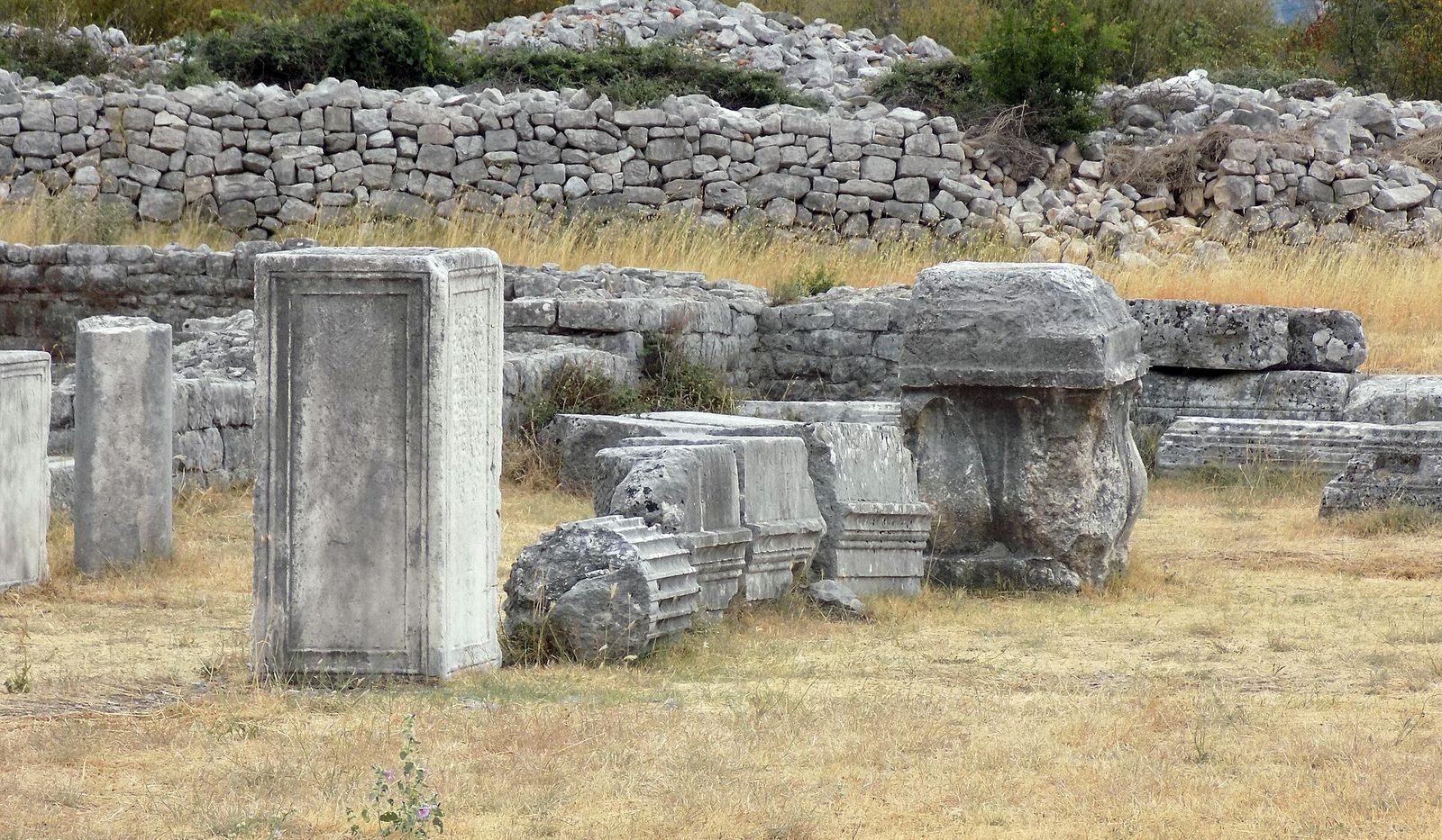
Excavation in the central residential and commercial quarter revealed a representative building with a mosaic floor and a presumed glass workshop. The site also preserves massive walls, bridges, columns, palaces or temples, sarcophagi with reliefs, tombstones bearing Latin inscriptions, and numerous coins, including gold examples mainly dated to the 2nd and 3rd centuries. The Podgorica Cup, a broad glass dish painted with scenes from the Old and New Testaments, was discovered at Doclea in 1873 and is now held by the Hermitage Museum in Saint Petersburg.