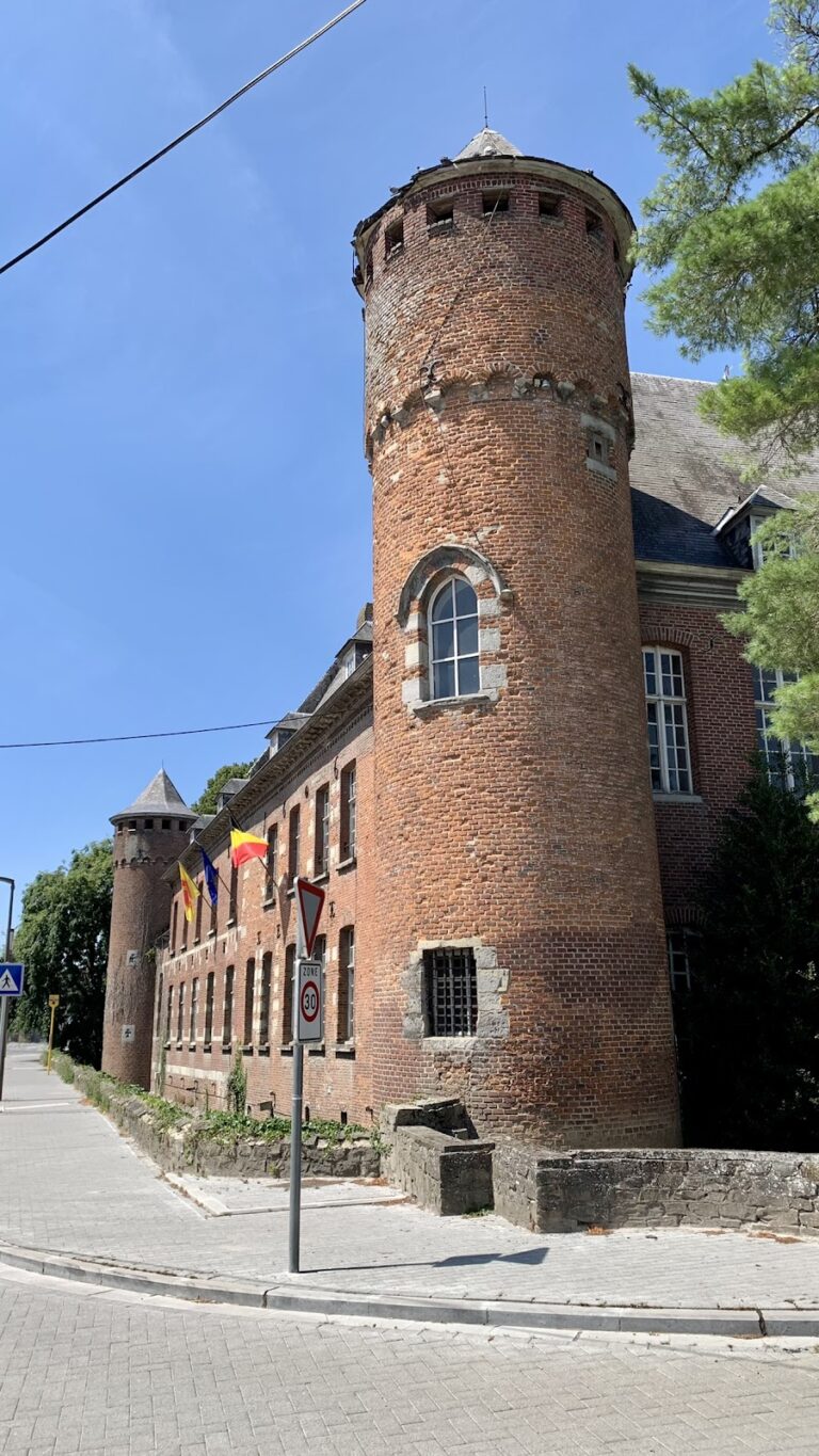
Citadel of Lille: A Vauban Fortress in France


Site at a Glance
- Rating
- 4.3
- Popularity
- Low
- Country
- France
- Primary era
- Early Modern
- External website
- Open
- Eras represented
- Early Modern
- Civilizations
- French
- Site type
- Military
- Remains
- Citadel
On this page18 sections
History
The Citadel of Lille is a French seventeenth-century fortress in Lille, France, built after French forces captured the city from Spain in August 1667. Louis XIV ordered its construction to prevent reconquest, shelter the authorities during a revolt, and allow the garrison to fire on the city if necessary. The citadel was established outside Lille’s walls in accordance with the terms of the city’s capitulation after a 17-day siege.
Construction under Louis XIV
The new fortress formed part of Vauban’s Pré carré, a system of fortified towns and supporting works intended to create a continuous defensive frontier in northern France. Louis-Nicolas de Clerville and Sébastien Le Prestre de Vauban, Louis XIV’s leading military engineer, both submitted designs. In October 1667, the king selected Vauban’s regular pentagonal plan. Earthworks began in December, and Louis de Crevant, Marquis d’Humières, governor of Flanders, laid the first stone on 17 June 1668.
Vauban appointed Simon Vollant, an engineer and architect from Lille, to direct the works. Local masons were requisitioned from September 1667, and other building projects in the city were suspended until 1672. As many as 2,000 soldiers, workers, and requisitioned peasants took part. The project consumed about 60 million bricks, 20 million stone blocks, and 32 linear kilometres of sandstone blocks. A canal from the Arbonnoise, a branch of the Haute-Deûle near Esquermes, carried stone from quarries near the Faubourg des Malades and reduced transport costs.
The principal works were completed on 23 April 1670. The citadel became operational in 1671, and construction as a whole was completed in 1673. Its marshy setting was part of the defensive design. An attacker approaching from the countryside had to cross difficult ground, while an army coming from Lille first had to capture the city and then cross an exposed esplanade. The fortress therefore defended Lille while also keeping its population under military control.
The garrison and the northern frontier
Vauban served as the citadel’s first governor until 1670, when Louis de Crevant, Marquis d’Humières, later Duke d’Humières, succeeded him. Charles de Batz de Castelmore, known as d’Artagnan, became governor in 1672. The garrison included the Royal des Vaisseaux Regiment, later called Royal-Vaisseaux. In 1680, Louvois ordered barracks to be built so that soldiers would no longer stay with local residents. The large permanent garrison also contributed to the francization of Lille.
In 1673, Vauban developed the concept of the Pré carré, linking fortified towns and waterways along the French-Flemish frontier. Lille’s citadel served as a model for many of his later citadels. Its place within this network made it part of a coordinated border defence rather than an isolated stronghold.
Sieges and wartime occupation
During the War of the Spanish Succession, a conflict over the Spanish monarchy and the balance of power in Europe, an allied army captured Lille on 23 October 1708. The citadel continued to resist until 8 December. Its French defenders, commanded by Louis-François, Duke of Boufflers, surrendered only after their food and ammunition had been exhausted.
During the French Revolutionary Wars, Austrian forces besieged Lille and the citadel from September 1792. The bombardment ended and the besiegers withdrew in October, although the city suffered extensive artillery damage. In the First World War, German forces occupied Lille in October 1914 and used the citadel as a military camp and prison. Memorial plaques commemorate soldiers who died there, while a memorial in one of the ditches recalls Léon Trulin, whom the German military executed for espionage.
Lille and the citadel fell to German forces on 31 May 1940 during the Second World War. The occupying forces then used the fortress until the city and citadel were liberated in late 1944.
Protection and changing surroundings
The fortifications were declassified in 1919. The surrounding land was gradually adapted for promenades, recreation, sport, parking, and a zoological park, while continued military use helped limit alterations to the citadel itself. Parts of the complex received monument protection in 1914, 1921, and 1934. The entire citadel was classified as a French historic monument in 2012.
The citadel was not included in the 2008 UNESCO World Heritage inscription of twelve Vauban fortifications. Lille submitted a further UNESCO application in 2017, but withdrew it on 28 October 2020. Since July 2005, the site has housed the headquarters of the Rapid Reaction Corps–France, a multinational land-force headquarters associated with NATO. The French Army remains the owner and oversees conservation with Lille and civilian preservation organisations.
Since 1986, the Chantiers Histoire & Architecture Médiévale association has helped maintain and restore the fortress. Ecological restoration of the surrounding woodland and wetlands has continued since 2003, including the protection of old and dead wood, planting of native vegetation, and creation of habitats for bats, birds, and insects. A stadium beside the citadel, built in the 1970s, produced a long conflict between sporting development and heritage protection. Conservation groups challenged plans for a larger replacement, and administrative courts ultimately prevented the project. The existing stadium was demolished in 2010, and a new stadium was built at Villeneuve-d’Ascq.
Remains
The Citadel of Lille occupies marshy ground northwest of the city, where the Deûle and Bucquet waterways meet. Its fortification is a regular pentagon about 540 metres across, with an enceinte, or main enclosing wall, roughly 2 kilometres long and about 9 metres high. Brick facing reinforced with sandstone blocks covers limestone rubble masonry set against an earth embankment approximately 20 metres thick. Ditches, outworks, earth slopes, waterways, woodland, and wetlands continue beyond the principal walls, preserving the broader defensive landscape.
Walls, bastions, and water defences
The pentagonal enceinte
The main enceinte contains five royal bastions, projecting angular works from which defenders could fire along the faces of adjoining walls. They are named Anjou, La Reine, Turenne, Le Dauphin, and Le Roi. The bastion flanks measure about 49 metres, and the Bastion of Anjou carries a cavalier, a raised artillery platform used for observation. The first defensive line also included five courtines, the walls joining the bastions, simple tenailles, and a fully floodable main ditch.
The outer lines
The second line consisted of five demi-lunes, detached crescent-shaped works built between 1667 and 1670. Five counterguards, additional works protecting the main positions, were added between 1734 and 1745. Each demi-lune had a small redoubt separated by a ditch. Some also contained a guardhouse, and their walls were pierced rather than formed as complete ramparts.
A covered way, a protected route outside the main ditch, was built between 1671 and 1676. A new ditch about 24 metres wide and eight lunettes followed between 1691 and 1733, with an advanced covered way constructed between 1691 and 1692. Two glacis lines, sloping areas designed to expose attackers, made artillery ranging more difficult. Traverses across the covered ways protected defenders from fire directed along the length of the works. Additional lunettes occupied the advanced ditch on the countryside fronts, while the doubled outer glacis increased the difficulty of approach and protected these forward positions.
The ditches and waterways
The main ditch was originally about 40 metres wide and approximately 3 metres deep. Water entered through the Vauban Canal, which diverted it from the Haute-Deûle. The system of fortified locks, water gates, sluices, and dams could flood about 1,700 hectares to a depth of roughly 55 centimetres within 48 hours. Parts of the ditch are now dry, while sections of the former water system survive within the urban park.
The citadel was separated from Lille by a broad esplanade kept free of buildings. Two communication walls connected it with the city’s enceinte. The sections facing the citadel were deliberately weak, allowing them to be demolished if Lille fell and preventing an enemy in the city from using them against the fortress. The defensive water corridor includes the large-gauge Deûle canal to the west, the navigationally closed Moyen-Deûle canal along the eastern esplanade, and a short section of the Haute-Deûle to the south.
Gates and internal buildings
The entrances
Five entrances stood at the centres of the courtines. The Porte Royale and Porte Dauphine were the principal gates. The Saint-Georges, Saint-Sébastien, and Sainte-Barbe posterns, smaller entrances normally kept closed, could be opened suddenly for sorties. Their names refer respectively to the patrons of crossbowmen, archers, and artillerymen.
Facing the city, the Porte Royale is the principal entrance. It measures about 14.20 metres wide and 15.50 metres high, and received a rack-operated drawbridge in 1817. An inscription dated 1670 above the entrance praises Louis XIV and the capture of Lille. The decoration includes a monumental cartouche, military trophies, garlands, the arms of France, the royal crown, the cordon of the Order of the Holy Spirit, and the emblem of the Sun King.
The Porte Dauphine faces southwest towards the countryside and Lambersart. It served as a secondary or emergency entrance for the arrival and evacuation of reinforcements and formerly had a drawbridge. Its cartouche is decorated with foliage garlands and military trophies, while its pediment shows the Sun King surrounded by symbols of War and the Arts. The emblem of Louis XIV was destroyed during the French Revolution and restored after the Second World War.
The parade ground and barracks
Inside the enceinte, buildings surround a pentagonal parade ground. Radiating avenues connect the central square with the two principal gates and the five bastions, forming triangular barracks blocks within a radiating plan. The architecture combines a Lille style influenced by the former Spanish Netherlands with French classicism.
Twelve barracks stood in two rows around the parade ground. Each ended in a square pavilion for officers and their families, while servants occupied the attics. Together with workshops, storehouses, mills, bakeries, hostels, and other service buildings, the barracks made the interior resemble a small seventeenth-century Flemish town. About 3,000 soldiers, servants, craftsmen, the governor, and workers could live within the complex.
The chapel and arsenal
The chapel has a Baroque voluted pediment and a wooden vault. It is described as the first Jesuit-style building constructed in Flanders. The arsenal is divided into three parts and separated from the central courtyard by a brick wall. Its entrance is framed by two Tuscan columns, and its walls carry royal motifs and the Flemish lion.
The Bastion of Anjou ovens
The Bastion of Anjou contains the raised cavalier and now functions as an ammunition store. Three large parallel galleries contain four eighteenth-century ovens, with two in each lateral gallery. Four ovens were restored in 2021, and two were cleaned during a training project by the Chantiers Histoire & Architecture Médiévale association. Following restoration, they were used for a military cohesion activity.
Park, canals, and ecological landscape
The surrounding park
The former glacis and defensive land now form a major urban green space known as the Citadel Park or Bois de Boulogne. Approximately 60 hectares of woodland, including wetlands, surround the fortress. The park contains a zoological park, children’s play areas, open spaces, paths, and recreational facilities. Ditches, demi-lunes, tenailles, covered ways, glacis, and earth embankments create varied physical forms and wetland habitats around the walls.
The surrounding water corridor includes the Écluse de la Barre, the Grand Carré lock, the Citadel Bridge, and the Petit-Paradis drawbridge. The Napoleon Bridge was destroyed by the German army in 1918 and again in 1944 before being reconstructed in 2014. The former Champ de Mars, once a flat exercise ground for the military and later a parking area, was partly redesigned between 2015 and 2017. The esplanade is a lightly wooded pedestrian space between the Moyen-Deûle canal, the esplanade façade, and Square Ramponneau, and contains a statue of General François de Négrier.
Habitats in the fortifications
Ecological management around the citadel includes shelters for bats, birds, and insects, the preservation of standing dead trunks and fallen wood, planting of native shrubs and herbaceous plants, and willow-branch fascines used to stabilise banks. A small flock of Soay sheep grazes the restored upper lawns.
Casemates and crevices in the walls provide habitat for six protected bat species, including Daubenton’s bat, the whiskered bat, an eared bat, the common pipistrelle, Nathusius’s pipistrelle, and the serotine. Trees, wetlands, reedbeds, cavities, and damp meadows support numerous bird species. The brick and sandstone walls carry wall plants including wall-rue, long-headed poppy, ivy-leaved toadflax, and black spleenwort, a fern associated with siliceous cliffs.