Chiang Mai City Wall: Fortifications of the Lan Na Capital
Site at a Glance
- Country
- Thailand
- Primary era
- Medieval
- Eras represented
- Medieval, Modern
- Civilizations
- Unclassified
- Site type
- Military
- Remains
- Wall
On this page21 sections
History
The Chiang Mai city wall is the inner masonry fortification of Chiang Mai, Thailand. Construction began in 1296, when the city was founded as the capital of Lan Na, a historical kingdom in northern Thailand. Tradition attributes the order to King Mengrai, dates the work’s beginning to 12 April 1296, and says that 90,000 men labored for four months.
Foundation and expansion
Gates were added in stages, with some built during the 14th and early 15th centuries. A separate outer earthen rampart followed a major Mae Ping flood during King Kaew’s reign. It was intended to help shield the city from flooding. In 1465, Tilokarat had a temporary gate built near the northeastern corner so people could reach his palace from outside the defenses. His successor, Yot Chiang Rai, closed it in 1517 and rebuilt the wall there during wider repairs.
Burmese rule and rebuilding
The fortifications were maintained until the Burmese conquest of Chiang Mai in 1556. Maintenance stopped during Burmese rule, which continued until 1775. After the Burmese withdrew, Chao Kawila ordered extensive repairs and strengthening, partly in response to the prospect of another Burmese attack. Brick bastions, projecting defenses that protected walls and their approaches, were added at the corners around the turn of the 18th and 19th centuries. Further restoration followed under Thammalangka, and another repair took place around 1880.
Gates and their histories
The Thai term pratu means gate. The northern entrance, first called Pratu Hua Vieng and later Pratu Chang Phueak, held a special place in city life. Kawila commissioned a white-elephant monument associated with its later name, and kings entered through this gate for their coronations. Buddhist tradition connects it with the journey of a sacred relic, an object kept for veneration, brought from Sukhothai by the monk Sumana in 1371. The relic was said to divide miraculously. One part was placed on a white elephant, which left through the northern gate and climbed Doi Suthep. After three days the elephant died at a rocky outcrop below the hermit Wasuthep, and Wat Phra That Doi Suthep, a Buddhist temple, was built there for the relic.
The eastern gate was first known as Pratu Chiang Ruak, after a settlement outside the wall. That trading community had an old market, and many people there drowned in the flood during King Kaew’s reign. In the 19th century the gate was renamed Pratu Tha Phae to distinguish it from the outer Tha Phae Gate. It led toward a landing on the Mae Ping, about a kilometre to the east, where many rafts gathered. The western gate, Pratu Suan Dok, took its name from a royal garden. In 1371 Kue Na gave part of the gardens to Sumana and established Wat Suan Dok there; a road west from the gate linked the city with the monastery.
The southern gate Pratu Saen Pung was opened under Sam Fang Kaen. Tradition says the king’s mother needed a way from her residence outside the southern wall to a Buddhist religious site. The gate also served funeral processions, reflecting the association of the south with death in Brahmanical tradition, a system connected with Brahmin priests and Vedic ritual. It remains the customary route for carrying the dead out of the city. The ground outside was also used to execute rebels. The outer Tha Phae Gate stood in the eastern rampart near Wat Saen Fang. As the city expanded, people increasingly lost the distinction between it and the inner gate, and the outer gate’s name fell out of use. A Chiang Mai chronicle associates the southeastern outer gate with the Thonburi army’s siege of the city; its name referred to sloping ground beside the moat and later changed in pronunciation. A poem about a conflict involving Chiang Mai mentions the southern outer gate, while the Fifteen Dynasties Chronicle refers to the southwestern one.
Until the Second World War, the gates were the city’s only guarded entrances. They opened from sunrise to sunset and may also have served a customs function. Markets were regularly held at the gates, which were important gathering points in urban life.
Loss and preservation
In the late 19th century, Prince Damrong Rajanubhab argued against demolishing the wall. He maintained that Chiang Mai did not need roads and urban expansion to the same extent as Bangkok, and that keeping the old wall as an antiquity was preferable to breaking it up for reusable brick. The wall and moat were registered as a national ancient monument in 1935. During the Second World War, Japanese troops demolished long sections and reused the masonry in road construction. After the war, the municipality removed further deteriorated stretches to improve transport, and wall bricks were reused to build the perimeter wall of Kawila Camp. Partial reconstruction of walls, gates, and bastions began in the 1970s. In 2015, Chiang Mai’s monuments, archaeological sites, and surrounding cultural landscape were placed on UNESCO’s Tentative List, an inventory of places a country may nominate for World Heritage inscription. The listing brought renewed conservation attention to the former defenses.
Remains
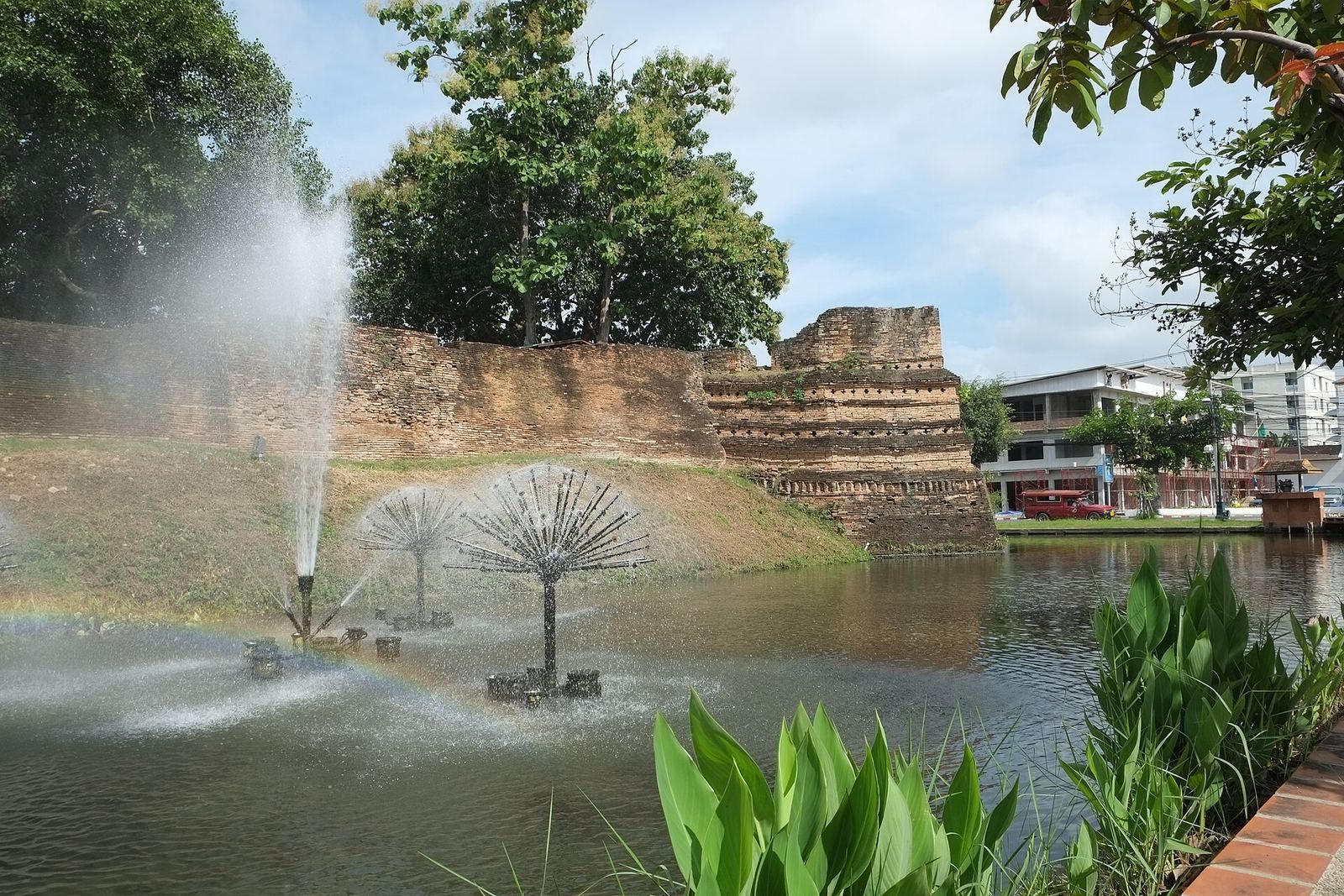
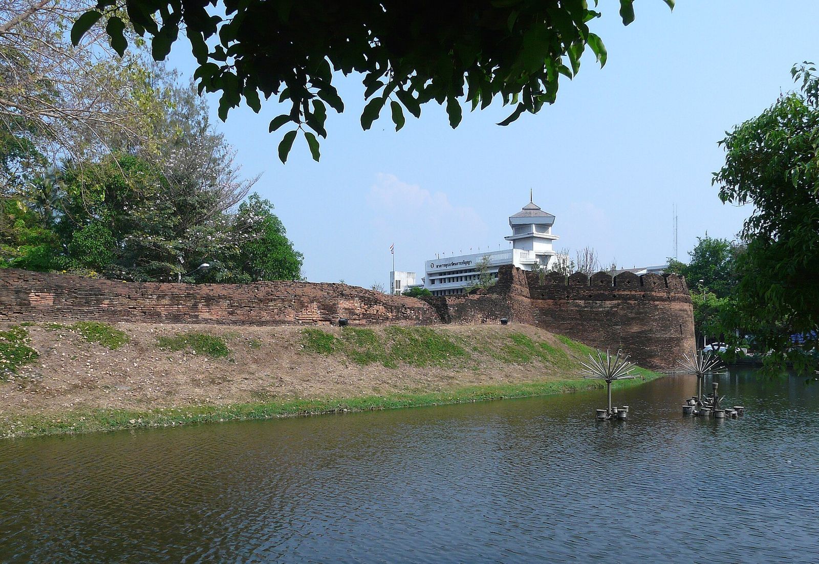
The fortifications enclosed an approximately rectangular area about 1,800 by 2,000 metres, or roughly 3.6 square kilometres. The wall and moat had different outlines: the wall’s total length was about 6.54 kilometres, while the moat formed a square with sides about 1.63 kilometres long. The surviving defenses combine brick construction with an outer earthen rampart.
Wall, rampart, and moat
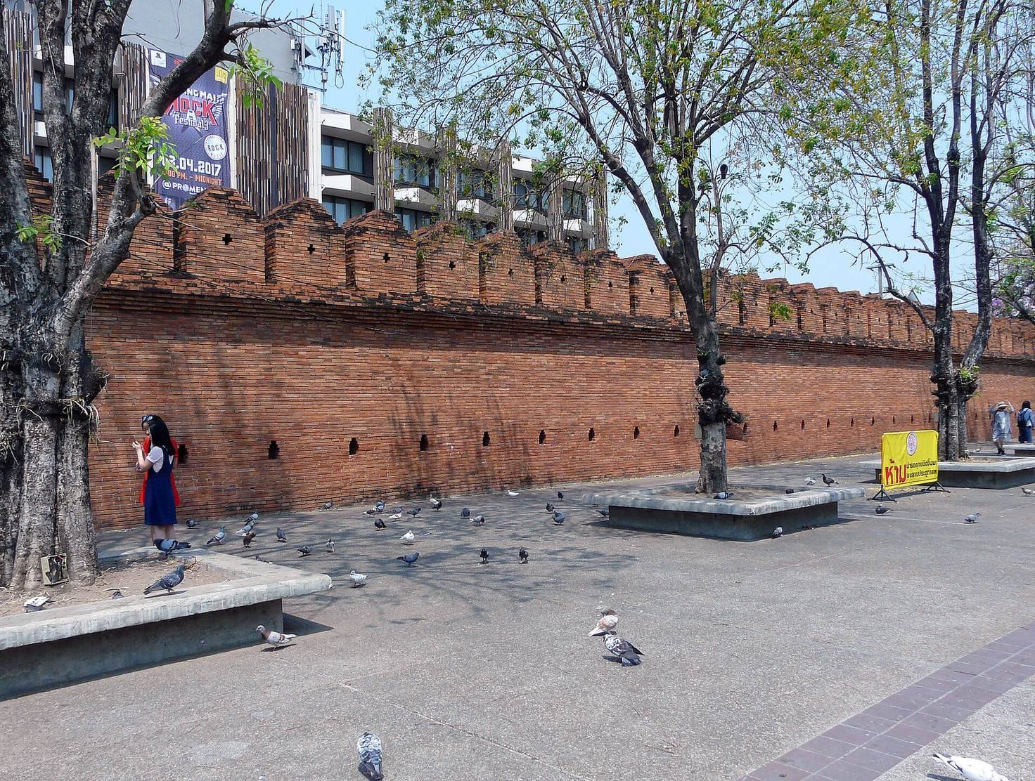
Masonry wall and earthworks
The wall was built of brick. Soil removed when digging the moat was piled into an embankment, faced with brick on both sides to reduce erosion, and paved with brick along the top. Wall lengths were about 1.67 kilometres on the north, 1.63 kilometres on the south, and 1.62 kilometres on both the east and west. Raised sections called crenellations ran along all four sides and above the gates. The gates initially had one defensive layer; a second layer projecting outward was added later. Their doors were offset so that cannon fire could not pass directly through the entrances.
Moat
The moat was about 18 metres wide when first built and reached roughly 25 metres at its widest. It is now about 13 metres wide and up to 4 metres deep. Water from the Doi Suthep area supplied the city, supported fishing, and added a defensive obstacle.
Gates
The inner wall has five gates: Pratu Chang Phueak to the north, Pratu Tha Phae to the east, Pratu Chiang Mai and Pratu Saen Pung to the south, and Pratu Suan Dok to the west. The outer earthen rampart had four gates, including the eastern outer Tha Phae Gate. The defenses had as many as six brick-built gates, five of which are visible today. Lightweight bamboo bridges once crossed the moat in front of the gates and could be removed quickly in a threat.
Pratu Chang Phueak
The northern gate’s guardian deity is Chang Phueak Khantharakhito, identified with Kubera, a deity associated with wealth.
Pratu Tha Phae
The eastern gate’s guardian deity is Tha Pae Surakkhito, identified with Indra, a deity associated with kingship among the gods. The present gate is a modern reconstruction based on an 1891 photograph.
Pratu Chiang Mai
Pratu Chiang Mai was once known by a name meaning “rear of the city.” Two inscribed stones are associated with the gate. The older stone has reversed numerals and an inscription in Lanna Tham, a traditional northern Thai script, set within a yantra, a sacred diagram used in religious practice. A newer stone, cast in cement, repeats the text with reversed lettering and an inaccurate rendering. The gate’s guardian deity is Chiang Mai Choeyaphumo, identified with Yama, a deity associated with death.
Pratu Saen Pung
Also called Pratu Suan Prung, this is the other southern gate. Its guardian deity is also Chiang Mai Choeyaphumo.
Pratu Suan Dok
The western gate’s name means “Flower Garden Gate.” Its guardian deity is Suan Dok Sarachato, identified with Varuna, a deity associated with waters.
Corner fortifications
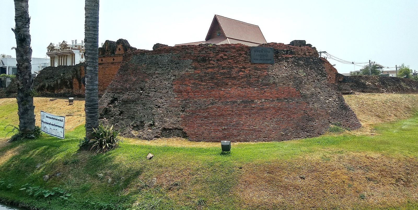
Four projecting brick fortifications marked the corners of the inner wall. The eastern pair are square in plan; the western pair are rounded or oval. The Thai term chaeng refers to a city corner or corner fortification.
Chaeng Si Phum
The massive northeastern corner fortification is square in plan. Its name means “glory of the land.” Tradition identifies this corner as the point where construction of the city began.
Chaeng Katam
The southeastern corner fortification is square in plan. Its name means “fish trap.” The moat drained toward the Mae Ping at this corner, where fish were plentiful.
Chaeng Ku Rueang
This massive southwestern brick fortification has a rounded or oval plan and dates to about 1801. Its name refers to a chedi-like structure, a Buddhist monument, that held the ashes of a person named Rueang. Mun Rueang, a watch officer whose house stood there, guarded Prince Khrua, a son of Mengrai, while the prince was imprisoned from 1321 to 1325. The bastion’s name may refer to this episode.
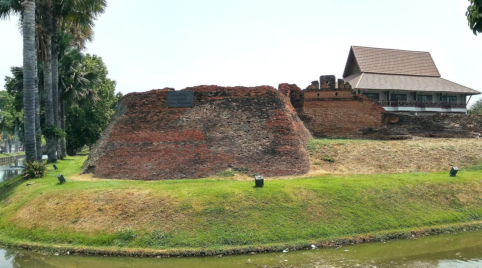
Chaeng Hua Lin
The northwestern corner fortification is a projecting brick structure with a rounded or oval plan, also dating to about 1801. Its name means “source of water.” The moat received water at this corner from Mae Nam Huai Kaeo, a stream that descends from Doi Suthep through a channel.
Hai Ya corner
A separate brick bastion of the outer rampart, also known as Thip Net, remains about 600 metres south of Chaeng Ku Rueang. It is in particularly good condition.