Chastel-Marlhac: A Sixth-Century Citadel in Cantal, France
Site at a Glance
- Popularity
- Medium
- Country
- France
- Primary era
- Medieval
- Eras represented
- Medieval
- Civilizations
- Unclassified
- Site type
- Military
- Remains
- Citadel
On this page6 sections
History
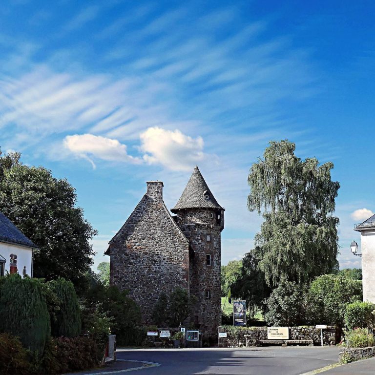
Chastel-Marlhac is a sixth-century citadel on an isolated basalt plateau in Cantal, France. It was formerly the administrative center of Le Monteil, a French municipality, and extends partly into Vebret. The site is also described as an ancient fortified camp resembling Gaulish oppida, or fortified settlements.
The sixth-century stronghold
Frankish king Thierry I, also known as Theuderic I and a son of Clovis, took Carlat in 508 before securing control of Auvergne. Three years later, after Clovis’s death, he returned to suppress a revolt led first by Basolus and then by Arcadius. After crossing the Loire and the Cantal mountains, Thierry encountered resistance only at Meroliac, where Auvergne’s leaders had taken refuge with their treasures and a garrison of fifty warriors.
Place names and later status
The place appears as Meroliacense castrum, meaning the fortified settlement of Meroliacum, in the sixth century; later forms include Chastel-Marlac in 1185, Castelt Marlat in 1218, and Chastel-Marlhac in 1441. The name continued to vary in records through 1855, a sequence that reflects the village’s continuous occupation since the Middle Ages. The lordship of Marlat is separate from this site and refers to a castle in Auzers.
Chastel-Marlhac became a registered site in 1996. Its Church of Saint Victor and Saint Mary Magdalene was entered in the Inventory of Historic Monuments in 1963.
Remains
Basalt plateau
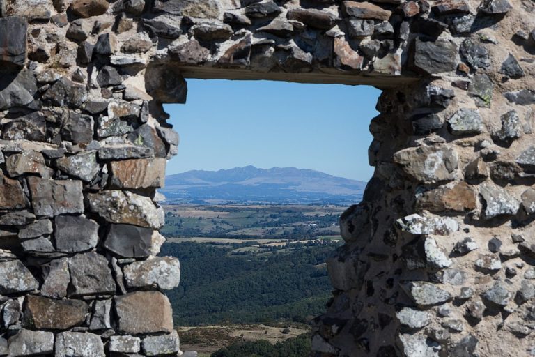
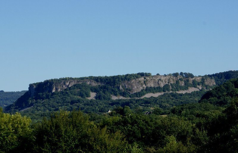
The site occupies an isolated plateau about 1,000 m long and 800 m wide. Its front has a face of column-like basalt rising about 25 to 30 m, and an escarpment exceeding 100 feet formed part of its natural enclosure. The plateau overlooks the Sumène valley and Vebret, with wider views toward the Violon gorges, La Monselie, Antignac, the Cantal mountains, Cézallier, Artense, Puy de Sancy, Orgues de Bort, and the Limousin granite plateau. The lake once at its center is now dry. Gregory of Tours, a sixth-century bishop and historian, described the stronghold as naturally defended by sheer rock. His account also describes a clear-water lake, springs feeding a stream that passed through a gate, and enclosed land suitable for growing crops and fruit.
Church of Saint Victor and Saint Mary Magdalene
The church stands in the hamlet and dates to the twelfth century.