Castro de Alobre: An Iron Age Fortified Settlement in Spain
Site at a Glance
- Rating
- 3.8
- Popularity
- Low
- Country
- Spain
- Primary era
- Iron Age
- External website
- Open
- Eras represented
- Iron Age, Classical
- Civilizations
- Unclassified
- Site type
- Military
- Remains
- Fortified Town
On this page15 sections
History
Castro de Alobre is an Iron Age fortified settlement in Spain, located in Vilagarcía de Arousa, Galicia, and associated with the castro culture, a tradition of fortified communities in northwestern Iberia. Established before the Roman period, it occupied a granite promontory overlooking the Arousa estuary, near the mouth of the Con River and the port of Vilagarcía de Arousa. Its position supported defensive control and connections with maritime commerce.
Iron Age settlement and Roman reuse
The settlement developed across several enclosures on the Montiño promontory. Its defensive layout followed the natural shape of the granite high ground, while the settlement’s relationship with the estuary linked it to maritime activity. Iron Age occupation is represented by ceramics, brooches, hand mills, loom weights, and evidence of metalworking.
Castro de Alobre was later reused by the Romans. Roman ceramics, bronzes, and terra sigillata, a fine red-slipped tableware, show the continuation of activity during the Roman period. Excavation also revealed a Roman hypocaust, an underfloor-heating system in which hot air circulated beneath a floor, together with a Roman production installation.
Rediscovery and archaeological work
The site was identified in the late nineteenth century. Movable remains had been found in its surroundings since 1927, but systematic excavations began in the 1980s through work by archaeologists from the Museo do Mar de Galicia and the University of Santiago de Compostela. More than 20,000 objects of ethnographic, artistic, and historical value were recovered through archaeological campaigns. The finds brought attention to the settlement’s strategic and commercial importance, as well as to its Iron Age and Roman occupations.
Conservation in an urban setting
From 2001, the Municipality of Vilagarcía de Arousa and the Xunta de Galicia, the autonomous regional government of Galicia, carried out successive programmes of conservation, restoration, research, surveying, and interpretation. Work included clearing, topographic surveying, archaeological excavation, structural consolidation, and the creation of a management body. Excavation and conservation campaigns continued through 2002, 2003, 2004, 2005, and 2006, followed by work on a Roman production installation and educational outreach in 2008. Further campaigns took place in 2015, 2016, and 2019, with test excavations in 2022 and 2023.
Castro de Alobre is partially excavated and protected as an Asset of Cultural Interest, a Spanish heritage designation for places recognised for their historical or cultural value. Urban development has altered the surrounding landscape and the original appearance of the hill, while part of the archaeological area has been incorporated into the modern urban environment. Marked and protected areas remain subject to periodic municipal maintenance and interpretation.
Remains
Enclosures and defensive layout
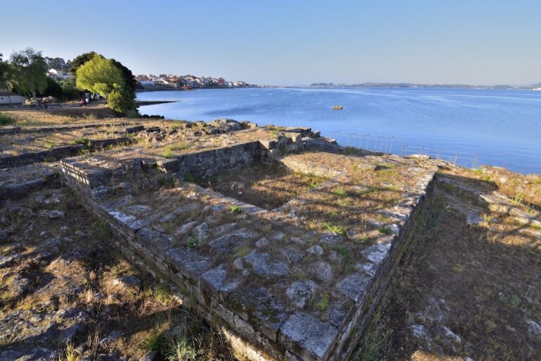
The archaeological area covers approximately 1.5 hectares and reaches a maximum elevation of 32.57 metres above sea level. The wider parcel containing the site covers 37,965 square metres. Three enclosures occupy different elevations on the natural promontory overlooking the Arousa estuary. Their arrangement follows the granite terrain and includes terraces that helped make access to the settlement more difficult.
Upper enclosure
The upper enclosure, or croa, is oval and slightly offset from the rest of the settlement. A 110-metre perimeter wall surrounds it. The first enclosure has a wall measuring 118 metres, while the second enclosure is bounded by a wall approximately 180 metres long. A further wall extends for 55 metres around the southern terrace, and a ditch runs for about 30 metres.
Terraces
The second enclosure contains a lower terrace with a four-centimetre change in level. Its width varies as it extends from north to south. A second terrace survives in the western sector, where a similar change in level extends only southward. These terraces form part of the settlement’s stepped arrangement across the promontory.
Domestic and productive remains
Buildings and occupation levels
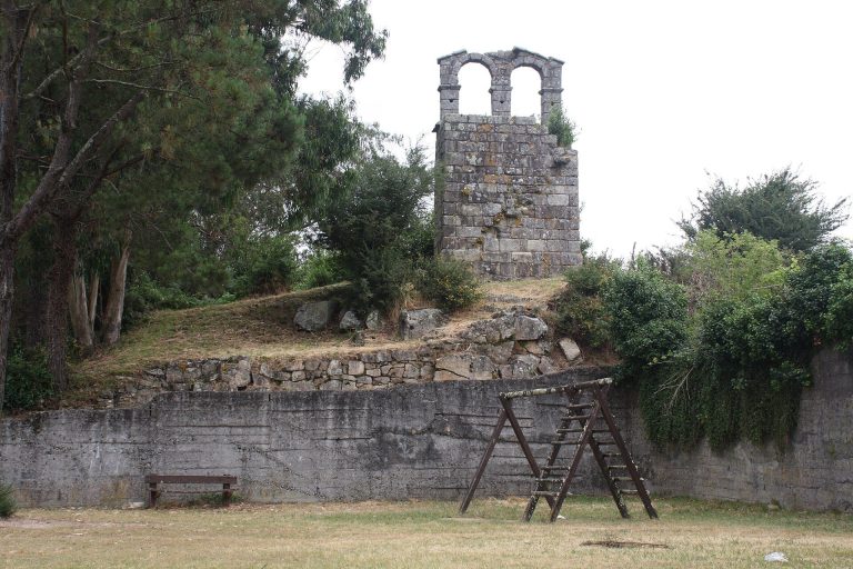
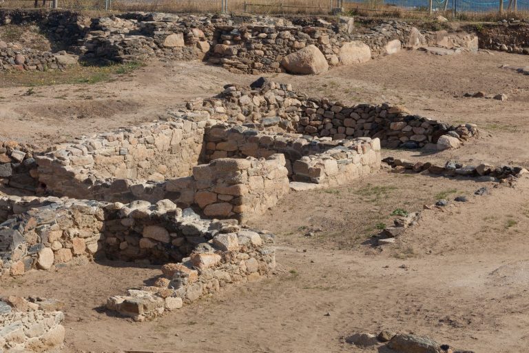
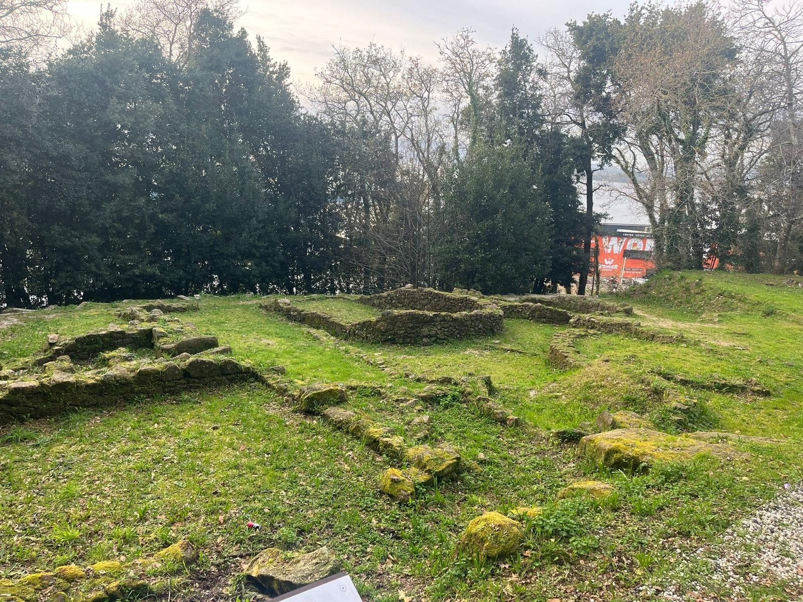
Surviving structures include circular and rectangular domestic buildings constructed with rubble masonry. Superimposed occupation levels preserve evidence of successive activity within the settlement. The remains are partially excavated and visible, while some pavements are reconstructions and have been buried beneath accumulated earth and vegetation.
Roman installation
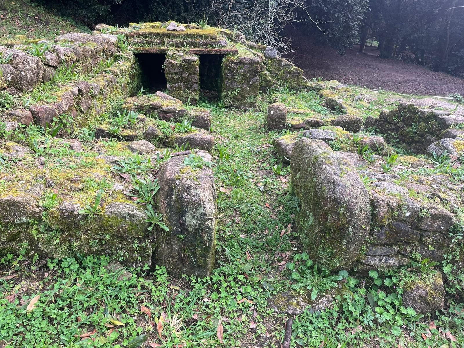
A Roman hypocaust survives among the excavated remains. This system heated a floor by circulating hot air beneath it and is associated especially with Roman baths and heated rooms. The excavations also exposed a Roman production installation, linking the later occupation to activity within the settlement rather than to defensive use alone.
Deposits and recovered materials
Shell midden and refuse deposit
A shell midden, an accumulation of discarded shells and other food remains, was found at the site. Another large deposit measured approximately 80 centimetres in height and covered about 100 square metres. It contained organic refuse, including cattle bones and marine remains such as clam shells, connecting the settlement’s occupation with both animal husbandry and the nearby maritime environment.
Artefacts and metalworking evidence
The excavations produced Iron Age ceramics, brooches, hand mills, loom weights, Roman ceramics, bronzes, and terra sigillata. Evidence of metallurgical activity adds a productive dimension to the settlement’s archaeological remains. Together, the objects and installations reflect domestic life, craft activity, and contacts that continued from the Iron Age into the Roman period.
Current physical condition
Restoration has used materials that are often not original, and accumulated earth and vegetation now cover some restored materials, structures, and pavements. Wind-borne particles, environmental and climatic processes, and biological colonisation have formed earthy concretions and sediment deposits over parts of the remains. Vegetation and soil have created a humid microclimate, while the consolidation work remains effective and the masonry shows no visible mortar or structural decohesion.