Castra of Großkrotzenburg: A Roman Fort on the Main Frontier
Site at a Glance
- Popularity
- Medium
- Country
- Germany
- Primary era
- Classical
- Eras represented
- Classical
- Civilizations
- Roman
- Site type
- Military
- Remains
- Fort
On this page11 sections
History
The Castra of Großkrotzenburg is a Roman fort beneath the town’s old center in Germany. Built during Emperor Trajan’s reign, it formed part of the Upper Germanic-Raetian Limes, Rome’s frontier system in this region. Its position near a crossing of the Main made it useful for monitoring the river and moving troops along the frontier.
Roman occupation and the frontier
The fort’s occupation is estimated to have lasted from about AD 105 or 110 until around 260. Its garrison was the Cohors IV Vindelicorum, an auxiliary cohort, or non-legionary Roman military unit, of about 500 men. Recruited originally in the Alpine foothills, the unit is identified at Großkrotzenburg through inscriptions and bricks bearing its name. It is also known at the stone fort of Nida, near present-day Frankfurt-Heddernheim, early in Trajan’s reign.
Roman military activity here may have begun before construction of the stone fort, although its starting date is uncertain. An earlier structure is possible. The chronology is also affected by a proposed earlier frontier route between Heldenbergen and Hanau-Salisberg. If that route belongs to the sequence, the end of the Hanau-Salisberg fort sets the earliest possible date for the Großkrotzenburg fort. The fort’s alignment and the frontier’s turns farther north led archaeologist Georg Wolff to conclude that the fort preceded the Limes palisade.
The crossing and military supply
The Main formed the southern boundary of the frontier along the river, known as the Main Limes. The fort was probably built chiefly to watch a crossing there. A bridge connected the river’s northern and southern sides and supported communication and troop movements along the frontier. The Main Limes extended as far as the forts at Wörth or Miltenberg-Ost.
The cohort also operated a brickworks near the Limes, away from the fort and its associated settlement to reduce the risk of fire. Its output, commonly marked with the unit’s name, supplied building projects in the northern part of the province during the late second century. This operation followed an earlier brickworks run by Legio XXII Primigenia at Frankfurt-Nied. Bricks from Großkrotzenburg were used at Niederbieber, where bricks of Legio VIII Augusta bearing the title Commoda offer a further dating clue. That title was used only around AD 185–192, during Emperor Commodus’s reign, helping to date Niederbieber’s construction and indirectly indicating the period of Großkrotzenburg’s brick production.
A civilian settlement grew alongside the fort and included worship of Mithras, a deity of a Roman mystery cult. Two votive stones found between the fort and bridge point to a likely post for soldiers handling duties connected with the provincial governor. Such posts were often placed at bridges or road junctions.
Abandonment and later settlement
Rome abandoned the fort around 260 as its forces withdrew from the Limes. People settled within the former fort area in the following decades. The earliest settlement finds so far assigned date to the fourth century, while material associated with the Alemanni, a Germanic people active in the region in late antiquity, suggests activity a few decades after the fort’s abandonment. Fourth- and fifth-century graves were found beyond the frontier.
Evidence of earlier settlement includes Neolithic, Bronze Age, and Iron Age finds. In 1988, remains of a La Tène-period settlement, a later Iron Age phase in Europe, were found beneath Roman layers in the old town. During the Middle Ages, sections of the Roman walls that still stood became part of the village defenses. Großkrotzenburg first appears in written records in 1175.
Excavation and protection
Excavations by the Hanau Historical Society began in 1881, followed by work in 1893 by the Reich Limes Commission under Georg Wolff. These investigations established the fort’s defensive perimeter and exposed part of its headquarters building. Further limited investigations took place during the twentieth century, including a partial excavation of the bath in the 1960s. Work in 2001 between the fort and the Limes found that the palisade and frontier ditch followed different routes and probably did not exist at the same time.
Since 2005, the fort has formed part of the UNESCO World Heritage property of the Upper Germanic-Raetian Limes. It is also protected as an archaeological monument under Hesse’s heritage law.
Remains
The fort occupies a gravel terrace above the Main’s flood level, north of the river, which approaches from the south before bending gently west. The stone enclosure measured 175 by 123 metres and covered 2.1 hectares. It faced east toward the Limes, which ran about 25 metres beyond its wall. The old town is built over the site.
Fort walls and gates
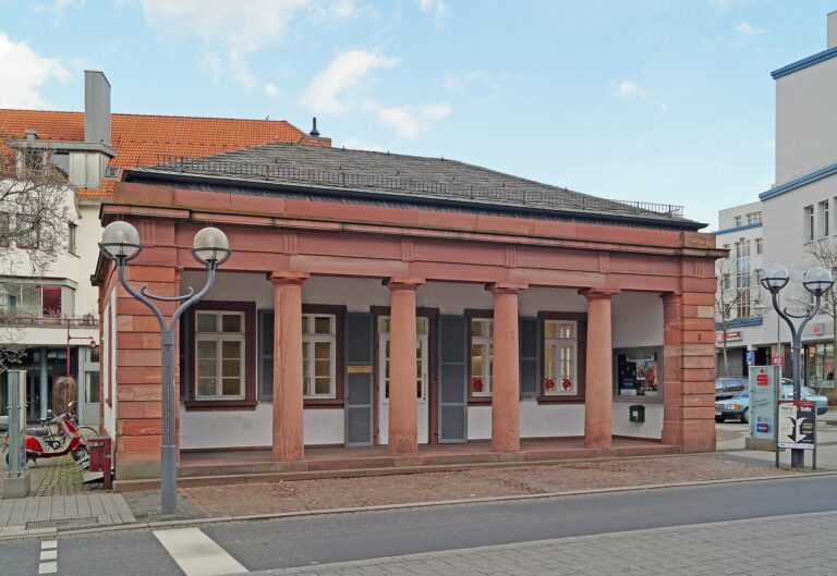
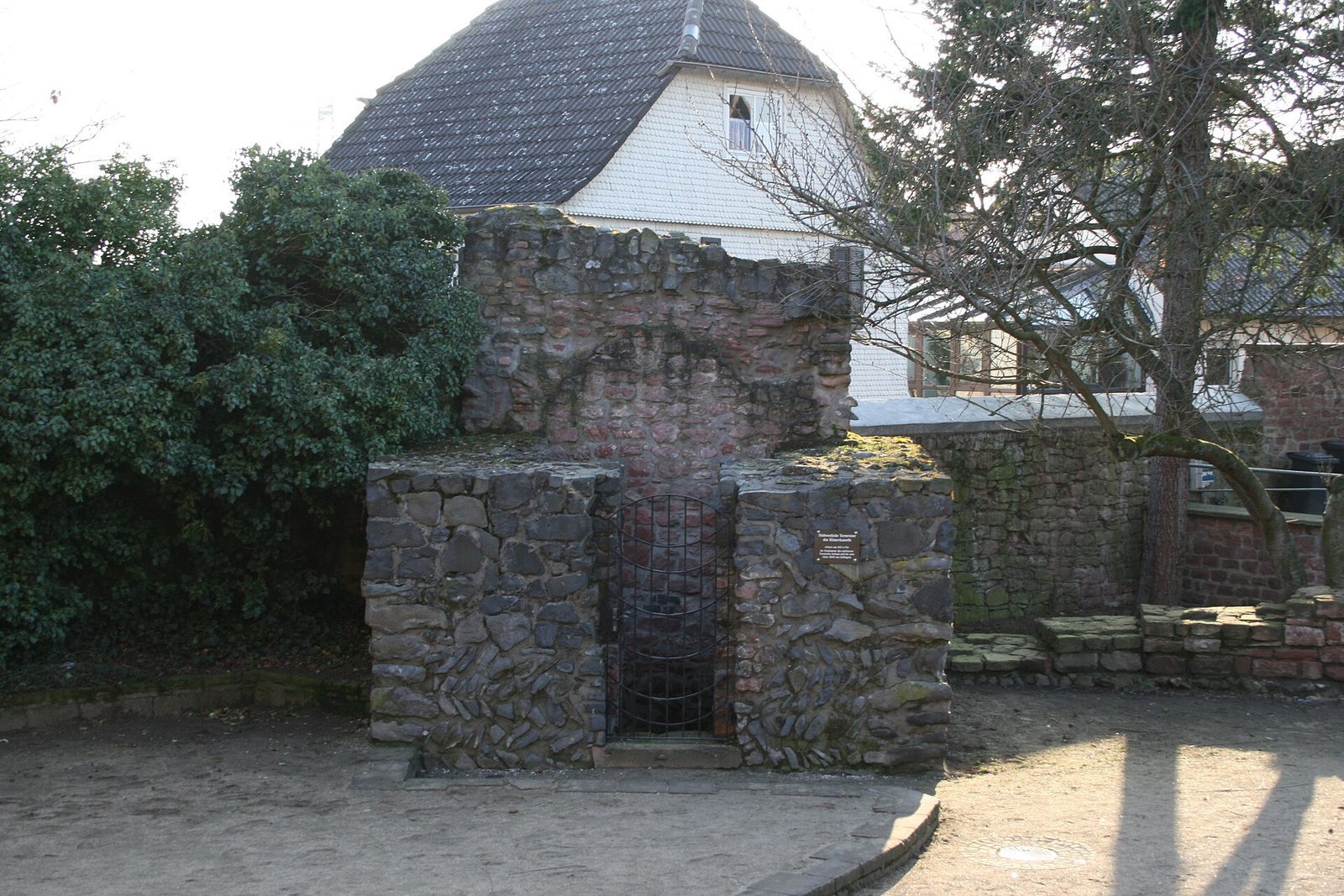
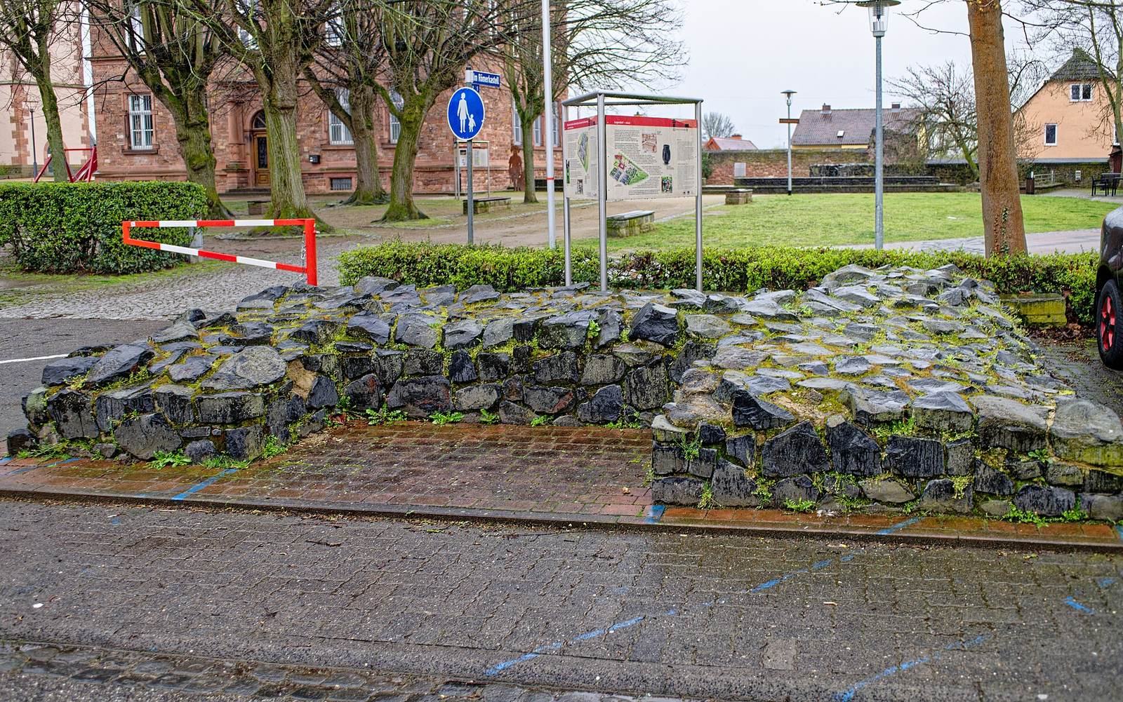
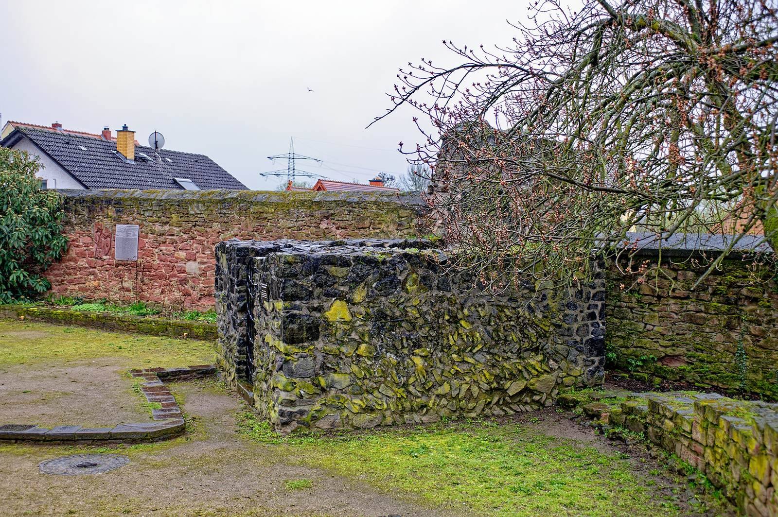
The fort wall rested on a foundation about 1.8 metres wide. Its concrete core had an outer facing of basalt stones laid diagonally in a herringbone pattern. Foundations and small sections of masonry survive along the southern side, in places built into modern structures. A southwest corner tower is particularly well preserved, and its lower level was later used as a prison. A nearby stretch of wall has been reconstructed in sandstone. In Breite Straße, foundations of the south tower of the rear gate have been restored in front of the local history museum. Roman masonry also forms part of the south wall of the modern St. Laurentius churchyard, while a stone block projects beyond the churchyard wall in Kirchstraße.
Ditches and internal roads
Small excavation trenches revealed two V-shaped ditches, especially to the west, north, and east of the fort. The eastern outer ditch lay only six metres from the Limes, leaving space for a path. Present-day streets preserve parts of the internal road plan: Kirchstraße runs roughly parallel to the main cross-street, Sackgasse follows the route toward the front gate, and Breite Straße follows the road toward the rear gate.
Bath and river bridge
Part of the fort bath has been excavated west of the rear gate. In the Main, dredging in 1885 and 1903 brought up wooden supports associated with stone bridge piers. Tree-ring dating places the bridge timbers in AD 134, near the end of Emperor Hadrian’s reign; the bridge’s upper structure was probably wooden. Bridge timbers are displayed at the Museum Großkrotzenburg, and the wooden supports are at the Saalburg Museum. The two votive stones found between the bridge and fort suggest a post for soldiers carrying out duties for the provincial governor.
Cohort brickworks
Five kilns have been excavated at the cohort’s brickworks near the Limes, separate from the fort and settlement. Bricks from the site commonly bear stamps naming the Cohors IV Vindelicorum. The furthest recorded examples came from Walldürn in Baden-Württemberg and the Neuwied Basin in Rhineland-Palatinate.
Settlement and Mithras sanctuary
Roman roads help indicate the extent of the civilian settlement west and northwest of the fort, and one cellar provides evidence of its buildings. Several stone monuments represent the settlement’s Mithras sanctuary. A relief of Mithras was almost entirely destroyed in 1945, during the Second World War, when some original monuments and holdings of the Hanau Museum were also lost. Finds from the fort and settlement, including bricks, inscriptions, votive stones, and objects from the sanctuary, are displayed at the Museum Großkrotzenburg. Some finds from the Hanau Historical Society’s early excavations are held at Museum Schloss Steinheim.