Castlelost Castle: A Norman Motte-and-Bailey Castle in Ireland


Site at a Glance
- Rating
- 3.8
- Popularity
- Very Low
- Country
- Ireland
- Primary era
- Medieval
- Eras represented
- Medieval
- Civilizations
- Norman
- Site type
- Military
- Remains
- Castle
On this page10 sections
History
Castlelost Castle is a ruined Norman motte-and-bailey castle in Ireland, associated with the Cambro-Norman invasion and dated uncertainly to around 1170, the late twelfth century, or the thirteenth century. It stands in Castlelost townland, just north of Rochfortbridge in County Westmeath, and its history is closely linked with the Tyrrel family.
Norman origins
The motte has been tentatively attributed to Hugh Tyrrel, possibly from the period when Hugh de Lacy built his motte castle at Durrow in 1186. Hugh Tyrrel was probably the seneschal, a senior official managing a lord’s estate, of the elder Hugh de Lacy. He was also Lord of Castleknock and became strongly associated with Castlelost.
The earliest identified contemporary reference to the place appears in the Ecclesiastical Taxation of the Deanery of Mullingar, compiled between 1302 and 1306. The name occurs there in forms including “Castellosar” and “Castell osti,” reflecting the changing medieval forms of the name.
The Tyrrel lordship
The Tyrrel family held Castlelost and its lands from the early thirteenth century through the sixteenth century. By 1487, Hugh Tyrrel was described as Lord of Castlelost, which was listed among his other holdings. Hugh Tyrrel had granted the church of Castlelost to the Prior of Little Malvern, and that gift was confirmed to the abbot of St. Mary’s Abbey in Dublin.
On 25 August 1486, Maurice Tyrrel, then Lord of Castlelost, transferred Irish property belonging to the priory. The Tyrrels eventually lost Castlelost and the surrounding lands during the Irish Rebellion of 1641 and the subsequent Cromwellian conquest of Ireland.
Name and protection
The name Castlelost is also found as Caisleán Loiste, although its origin remains debated. One interpretation connects loiste, the genitive of the Irish word losaid, meaning a kneading trough, with the idea of a “castle of the losset” or “castle of the rich land.” Under this interpretation, the area may have been known as “the losset” before the castle was built.
The castle, motte, and surviving bailey remains are included in County Westmeath’s Record of Monuments and Places, Ireland’s statutory inventory of archaeological monuments recognized for protection and record. The archaeological inventory also lists the motte and castle as separate entries.
Remains
Castlelost is a lowland motte-and-bailey complex built mainly from rubble stone and earth. A motte is a raised earthen mound that usually supported a fortified residence, while a bailey was an adjoining enclosed area used for buildings, activity, and defense. The surviving complex includes a ruined tower house, a small motte, and remnants of one or more baileys or courtyards.
Earthworks and enclosures
The motte
The motte rises about 16 feet above the surrounding bailey. Its mound appears to have been formed by cutting into the eastern side of a natural knoll, leaving a level area about 6 feet, or 1.8 metres, high and using the excavated earth to build the raised mound. The western part of the knoll served as the elevated bailey.
The road from Rochfortbridge has cut into one side of the motte, and the opposite side has also been damaged. The remaining summit measures approximately 23 by 13 yards, or 21 by 12 metres, although its original form was probably circular.
The baileys
The motte was set within a slightly raised bailey measuring about 75 by 46 yards, or 69 by 42 metres. Traces of another enclosure survive to the north. When the stone castle was constructed, a further bailey was added on the south side, expanding the defensive and activity areas around the residence.
The tower house
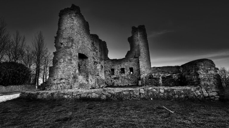
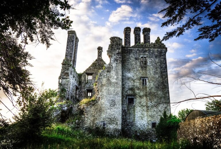
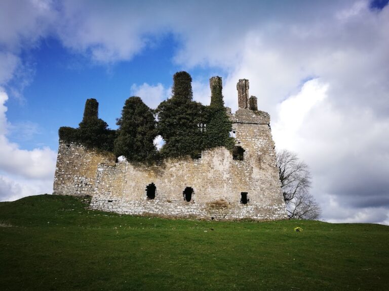
The principal stone building is a ruined tower house, a compact fortified residence centered on a strong multi-storey tower. It was built of rubble stone with its entrance facing the motte, creating a distinctive defensive arrangement between the stone residence and the earlier earthwork. The tower house survives as a ruin beside the motte and the remnants of its associated courtyard.
Nearby church
A church stands approximately 400 yards, or 370 metres, north-east of the castle. Its immediate setting has been described as semi-fortified, providing a related physical feature within the wider Castlelost landscape. The site lies at approximately 96 metres above sea level.
Nearby sites