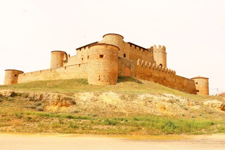
Castle of Soria: Medieval Stronghold and Frontier Fortress in Spain



Site at a Glance
- Rating
- 4.2
- Popularity
- Low
- Country
- Spain
- Primary era
- Medieval
- Eras represented
- Medieval, Early Modern
- Civilizations
- Crown of Castile, Kingdom of León, Spanish
- Site type
- Military
- Remains
- Castle
On this page22 sections
History
Castle of Soria is a medieval Christian stronghold in Spain, standing on the Cerro del Castillo above the city of Soria. The hill had been occupied from at least the Bronze Age by a Celtiberian settlement connected with nearby Numancia, while a smaller village continued there during the Roman period. The castle later guarded a frontier zone along the Duero and became the centre of an extensive fortified city.
Early occupation and frontier watchtower
The Cerro del Castillo has sometimes been associated with an earlier place called Monte Oria. Traditional explanations for the name and for Soria’s earliest population attributed them to a Greek warrior named Dórico or to the Suebi and their kings. These interpretations fell out of use because archaeological evidence and reliable documentation did not support them.
After the 1016 delimitation between Castile and Navarre placed the frontier along the Duero, the hill may have been fortified as a lookout over this strategically important border. Under Muslim rule, the installation was no more than a watchtower or small fortress. It monitored this stretch of the river and protected the Muslim settlement known as Medina-Soria.
Later tradition attributed construction of the castle to Count Fernán González, although that attribution is considered implausible in relation to the subsequent Christian conquest. Soria was definitively taken from Muslim rule in the early twelfth century by Alfonso I of Aragon, the husband of Queen Urraca I of León and Castile. This conquest formed part of the Reconquista, the long Christian military and political expansion into territories ruled by Muslim powers in the Iberian Peninsula.
Medieval fortification and urban expansion
Alfonso VII of León and Castile was associated with the inner circuit of walls, while Sancho IV was linked with the outer walls. The wider defensive system appears to have followed the devastation caused by the 1195 to 1196 invasion of Sancho VII of Navarre. During the thirteenth century, probably in the reign of Sancho IV, the fortified city covered about 100 hectares and had a perimeter of approximately 4,100 metres.
The city’s defenses combined an inner and outer wall, an advanced outer barrier known as a barbican, six gates, four small posterns, and one intermediate-sized entrance. A postern was a small secondary doorway, while a portillo was an opening larger than a postern but smaller than a principal gate. The castle enclosure also contained one of Soria’s two Jewish communal quarters, or aljamas. The quarter supported notable intellectual, economic, and commercial activity.
War and destruction in the nineteenth century
During the Peninsular War, the conflict in which Spain and its allies fought Napoleon’s forces, French troops entrenched themselves in the castle on 17 September 1812 before abandoning Soria. Brigadier José Joaquín Durán had captured the city on 18 March with troops of the Sixth Division of Soria. His plan called for small breaches or explosive charges at several points in the city wall, which would have confined the French to the castle while Spanish forces dealt with possible relief columns.
General Durquier entered Soria later that year and left for Navarre on 13 September. General Tabuenca followed on 14 September, and Durán entered on 16 September. Durán stayed until early October before departing for Aragon, leaving a reinforced company to provide security, clear the area, police the city, clean the streets, and assist with the demolition of sections of the castle walls.
Durán ordered the castle’s destruction under a superior command and a measure issued by the Cortes of Cadiz, the representative assembly convened during the war, which required the demolition of Soria’s walls and castle. The explosion left the castle almost completely destroyed, and the enclosure was abandoned after the war.
Documentation, conservation, and present status
The early nineteenth-century plan of Soria by Dionisio Badiola depicts the castle in elevation, ground plan, and profile before its destruction. It provides an important basis for reconstructing the former appearance of the stronghold. Two eighteenth-century representations also survive as frescoes in the Church of San Saturio.
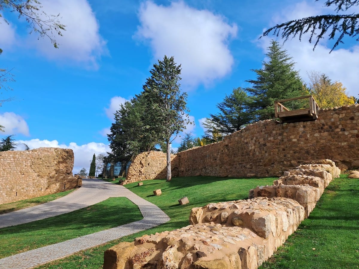
In 2014, the municipality created the Soria Intramuros project to recover sections of the city walls and areas around the castle hill. Conservation of the wall between the Stone Bridge and the Hermitage of Nuestra Señora del Mirón was completed in April 2022, and the wall was added to Hispania Nostra’s Green List in December of that year. Work in the Castle Park exposed buried wall lines and remains from the eighteenth and nineteenth centuries, with the first phase ending in March 2024. Further work between the remains of the Church of San Ginés and the Hermitage of Nuestra Señora del Mirón revealed the bases of several previously unknown towers and an unrecorded postern. A project to recover an approximately 100-metre section beside the Palace of Alcántara began in summer 2025 with the demolition of a disused former hospice.
Castle of Soria is registered as a Spanish Bien de Interés Cultural, or Asset of Cultural Interest. The hill is municipally owned and remains in ruins. Its surroundings now include a park, a swimming pool, water-storage installations, and the Parador Nacional Antonio Machado.
Remains
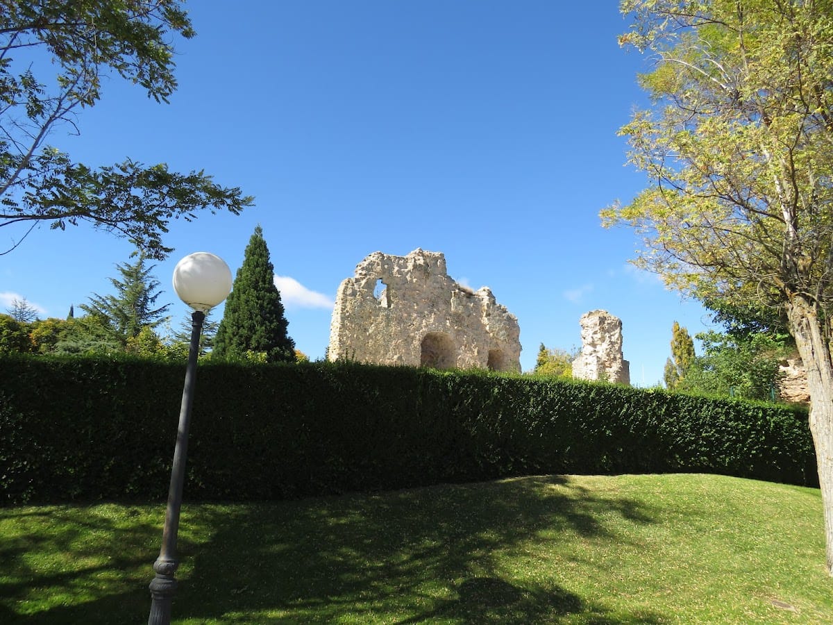
The surviving complex occupies the eastern part of the Cerro del Castillo beside the high inner wall, whose line followed the approximate surface of the hill. Lime mortar, sandstone ashlar, rubblework, and smaller masonry were used throughout the castle and its defenses. The remains include the keep, the inner enclosure, parts of the outer barrier, stretches of the urban wall, tower bases, gates, and the Stone Bridge over the Duero.
Castle enclosure
Castle proper
The castle proper had a powerful, slightly trapezoidal plan with four small corner towers. A somewhat larger tower protected the principal entrance, while the more strongly defended rear section contained the keep. The interior was arranged around an arms courtyard with a cistern, and rooms and service spaces were grouped around this central area. The keep, the inner walled enclosure, and parts of the outer barrier survive in ruined form.
A second defensive barrier extended from the west and enclosed the inner fortress on its city-facing side before continuing to the main entrance. Its entrance was flanked by two cylindrical towers. The barrier was already ruinous in the early nineteenth century, before the destruction that left the castle almost completely in ruins.
Church of San Salvador
The Church of San Salvador stood inside the castle enclosure and served as its chapel. It fell into ruin at the beginning of the seventeenth century. Its position within the fortress reflects the religious function incorporated into the castle’s inner compound.
Urban walls and gates
City wall
The urban wall extended from the castle hill around the historic city, passing by the cemetery, Santa Clara Street, Alberca, Puertas de Pro, Santo Tomé, the Mirón area, the Hermitage of Nuestra Señora del Mirón, and the slope descending toward the Duero before returning along the river to the castle hill.
Along the Duero, the wall used ashlar construction and relied on the river as a natural defensive barrier. Other stretches were higher and built of smaller masonry or rubblework strengthened with cylindrical towers. Surviving traces occur near the former Santa Clara convent, the Mirón promenade, the descent to the Duero, the Postiguillo area, and houses on Puertas de Pro. Conservation and excavation have also exposed buried wall lines, tower bases, a portillo, and other sections of the former defenses.
Postern of San Ginés
The Postern of San Ginés stands beside the ruins of the Church of San Ginés at the end of the Camino de San Ginés. It provided access from the city to the Duero. During its restoration in 2011, the door and blocking wall were dismantled, while the external arches and interior vault were rebuilt in sandstone ashlar.
Small Postern of San Agustín
The Small Postern of San Agustín stood beside the former Convent of San Agustín. It had been blocked up and led toward the gardens near the convent. Two castle posterns provided access to the aceña mill and wool-washing facilities. One was widened in 1645 so carts could pass, while another, mentioned in 1648, stood on the wall walk where the riverside wall met the fortress walls.
Nájera Gate
The Nájera Gate, also called the Mirón Gate, stood on the northern side near the Church of Nuestra Señora de Barnuevo. It was among the first entrances ordered to be closed when news of diseases requiring the city to be isolated reached Soria.
Valabos Gate
The Valabos Gate, also known as Ogalobos or Ahogalobos, stood beside the demolished Church of Nuestra Señora de Ahogalobos. Its arch had become dangerously unstable, and the municipality ordered its demolition in September 1779.
Santa Clara Gate
The Santa Clara Gate, or New Gate, was the last city gate to be opened. Late eighteenth-century records used both names for the entrance.
Postigo Gate
The Postigo Gate, also called the Main Gate, stood at the end of the Collado beside Herradores Square. The Palace of the Marquises of Vargas protected it, and the palace’s large coat of arms survives on the facade of the later building occupying its site.
The entrance was opened in 1328, when Alfonso XI sent his merino, Garcilaso I de la Vega, to recruit men for his war against Juan, the son of the infante Juan Manuel. Garcilaso held the office of Merino Mayor of Castile, a senior royal administrative and judicial position. Sorian knights attacked him and his men at the Convent of San Francisco using the postern. The entrance was placed beside a wall tower to provide practical passage for people and horses.
In 1525, the arch was widened and a matching tower was built on the opposite side. The new tower was hollow, and by 1555 it contained a dwelling with a square-framed doorway. On 24 September 1608, Juan de la Torre received a commission for a polychrome imperial Habsburg coat of arms measuring 3.30 by 2.50 metres, flanked by two city arms.
A clock and bell were installed on a belfry in 1610, and the stonemason Juan de las Cabadas made the clock tower. The tower was demolished in 1617, rebuilt with three levels in 1623, and fitted with stairs leading to the clock. A windstorm brought down the clock and bell in 1625, after which they were repaired. A major crack appeared in the tower in 1804, and the clock shifted in its housing and lost its level. The tower was repaired and its ashlar stones restored, but the gate was finally demolished in 1865 under an order issued in 1863. Associated work on the southern drum and attached houses continued into 1866.
Rosario Gate
The Rosario Gate stood almost opposite the Church of Santo Domingo, also called Santo Tomé, and was sometimes known as the Santo Domingo Arch. Its arch was repaired in 1727 because it threatened to collapse. Part of it had fallen by 1806, and the remaining structure was demolished in 1885.
Rabanera Gate
The Rabanera Gate, or Rabanera Arch, stood at the end of Caballeros Street and was protected by the Palace of the Marquises of Alcántara. Its poor condition led to demolition in 1893. The entrance consisted of two square-plan masonry towers with ashlar quoins flanking a semicircular arch that appeared slightly pointed at the rear. A modest dwelling stood above it, with balconies opening on both sides. The lower part of a tower beside the Palace of the Marquises of Alcántara preserves a remnant of the former gate.
Duero crossing
Stone Bridge
The Stone Bridge crosses the Duero east of the city opposite the former Navarre Gate. It has eight semicircular arches, northern cutwaters, and widened side sections above the cutwaters. Its construction accommodates the difference in height between the two banks, and the bridge retains a single traffic lane.
The date of construction is uncertain, although the bridge is mentioned by the mid-twelfth century and may be contemporary with the city’s wider fortifications. Repairs in the seventeenth and eighteenth centuries shaped much of its present appearance. Work in 2025 addressed the paving and other elements, cleaned the surfaces, and reinforced the walls.
Bridge defenses
Two gate towers collected tolls on the bridge, one beside the city gate and another at the centre. The bridge also had a central defensive tower, and both tower roofs were repaired in 1505. The central tower was partly dismantled in 1841 to a height of seven varas, approximately 5.85 metres, and was demolished in 1851. In 1850, the municipality stated that the two towers at the entrance and middle of the bridge had to be demolished to make way for the road to Navarre. A bastion probably stood on the opposite bank of the Duero, where scant remains survive.