Castella de Aguada: A Portuguese Watchtower and Shore Battery in Mumbai
Site at a Glance
- Popularity
- High
- Country
- India
- Primary era
- Early Modern
- Eras represented
- Early Modern
- Civilizations
- Portuguese
- Site type
- Military
- Remains
- Fort
On this page6 sections
History
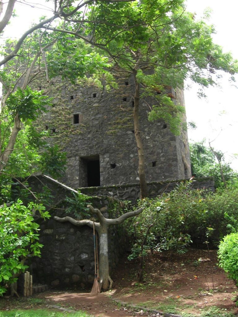
Castella de Aguada is a Portuguese fort at Land’s End in Bandra, Mumbai, India, built in 1640 as a watchtower and shore-based artillery position. It guarded the northern sea route into Mumbai Harbour. The Portuguese had established a base in the area in 1534 after defeating Bahadur Shah of Gujarat, a sixteenth-century sultan.
Portuguese Foundation and Maratha Control
The name is a corrupted form of the Portuguese Castelo da Aguada, meaning “Fort of the Watering Place.” The builders appear to have called it Forte de Bandorá, also rendered Forte de Bandra. A nearby freshwater spring supplied passing ships, explaining the reference to water in the name.
The fort’s strategic importance increased in 1661, when Portugal ceded the seven islands of Bombay, just south of Bandra, to the English. The sea route approached the harbour through a broad estuary, later reclaimed from the sea during the nineteenth century. Under Portuguese rule, the fort was armed with seven cannons and smaller guns. As Portuguese power declined in the early eighteenth century and the Marathas threatened British possessions, the British partially demolished it to prevent its capture and potential use against British Bombay. The Marathas took control in 1739.
British Rule and Later History
The British gained possession in 1774 during the First Anglo-Maratha War, a conflict between the English East India Company and Maratha powers. The Company, an English trading enterprise that also exercised territorial rule, held the fort until 1947, when it passed to the Government of India.
In 1830, the British gave large parts of Salsette, including Land’s End, to Parsi philanthropist Byramjee Jeejeebhoy. Parsis belong to a Zoroastrian community established in India. Jeejeebhoy made his home on the fort’s hill, and the cape became known as Byramjee Jeejeebhoy Point. Modern conservation has repaired and altered parts of the fort. It is designated a State Protected Monument.
Remains
Setting and Construction
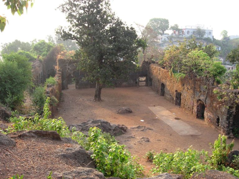
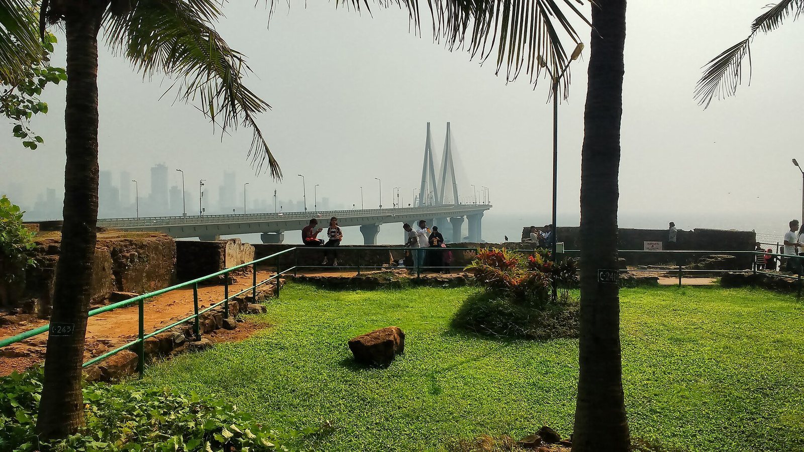
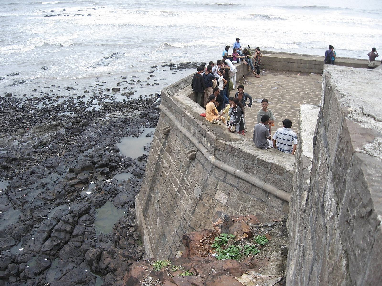
The fort occupies several levels, from sea level to an elevation of 24 metres, and overlooks Mahim Bay and the Arabian Sea, with the southern island of Mahim nearby. Its construction uses basalt and lime-based mortar, and natural rock formations are incorporated into the site.
Gateway and Walls
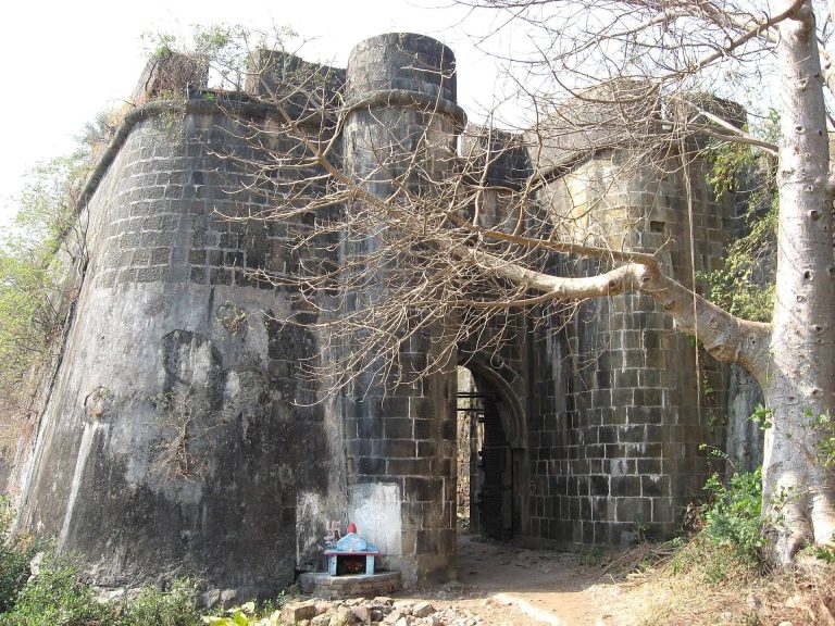
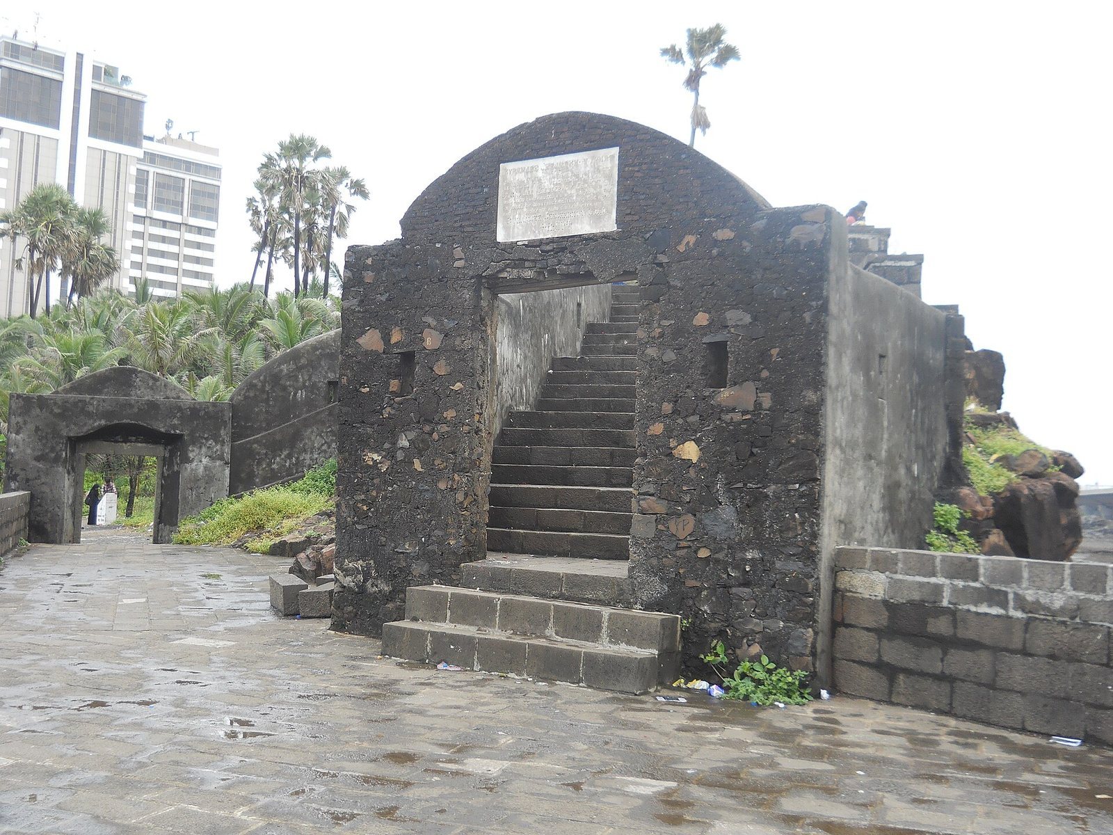
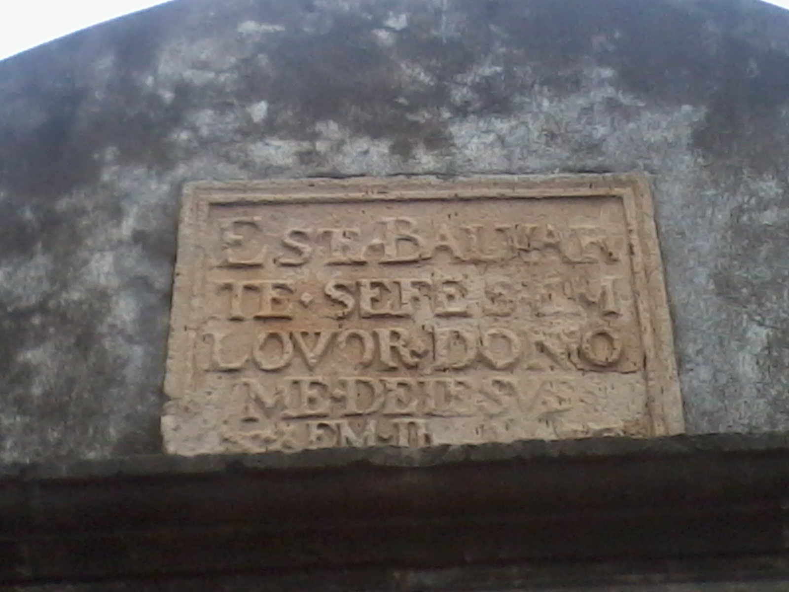
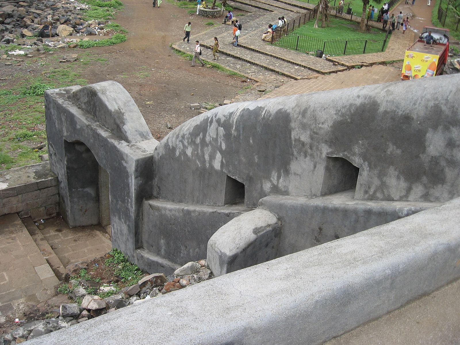
A gateway with a brick arch and a fort wall with masonry foundations survive at the site. In 2003, a conservation effort repaired the arch, which was close to collapse, and the foundations, which were threatened by tidal erosion. During restoration in 2024, workers covered the stone walls with lime plaster mixed with brick dust, a method that drew public criticism. Conservation architects explained that this kind of plaster was used by the Portuguese to cover and protect stone walls.