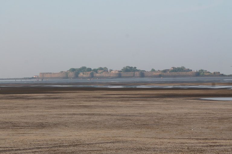
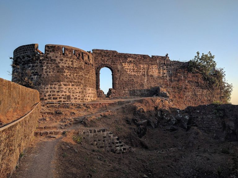
Belapur Fort: A Hill Fort in Navi Mumbai
Site at a Glance
- Rating
- 4
- Popularity
- Medium
- Country
- India
- Primary era
- Early Modern
- Eras represented
- Early Modern
- Civilizations
- Deccan Sultanates
- Site type
- Military
- Remains
- Fort
On this page6 sections
History
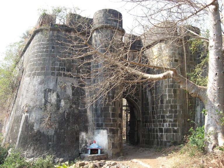
Belapur Fort is a hill fort in Navi Mumbai, Maharashtra, India, built in 1570 by the Siddhis, a South Asian community of African ancestry who ruled Janjira, a coastal polity. The fort changed hands among regional powers and later came under British control.
Construction and Portuguese rule
The Portuguese annexed the fort in 1682 after suppressing a revolt in lands controlled by the Patkar family. These territories included the districts of Cairena, Sabaio and Panchena near Belapur. The settlement was then called Shabaz and was known to the Portuguese as Belaflor do Sabaio.
Maratha control
In 1737, Chimaji Appa, a Maratha military leader, captured the fort from the Portuguese. He had vowed to offer a garland of bael leaves at the nearby Amruthaishwar temple if the fort were retaken. After the victory, it was named Belapur. Maratha control continued until 1817.
During its active use, the garrison consisted of four companies of 180 men each and 14 guns, each weighing between 4 and 12 pounds, or about 2 to 5 kilograms.
British capture and decline
On 23 June 1817, Captain Charles Gray of the British East India Company, which acquired territorial rule in India, captured the fort. The British partially demolished it as part of a policy of razing Maratha strongholds in the area. As British authority expanded with the Bombay Presidency, a colonial administrative region, the fort lost strategic importance and fell into disuse. The Company controlled it from 1817 to 1947, when ownership passed to the Government of India.
Protection efforts
The fort falls under the jurisdiction of the City and Industrial Development Corporation (CIDCO). By January 2018 it remained dilapidated, and although renovation plans were underway in response to encroachment, no renovation or restoration had taken place. Residents used India’s Right to Information Act, which allows people to request information held by public authorities, in efforts to protect the site from dumping and debris.
Remains
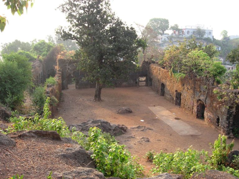
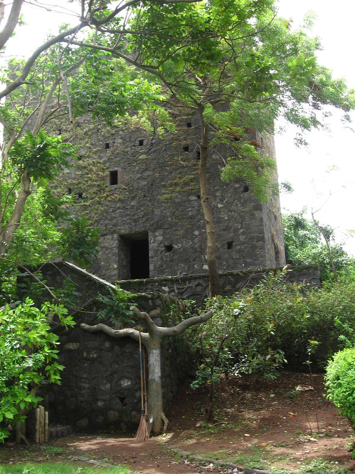
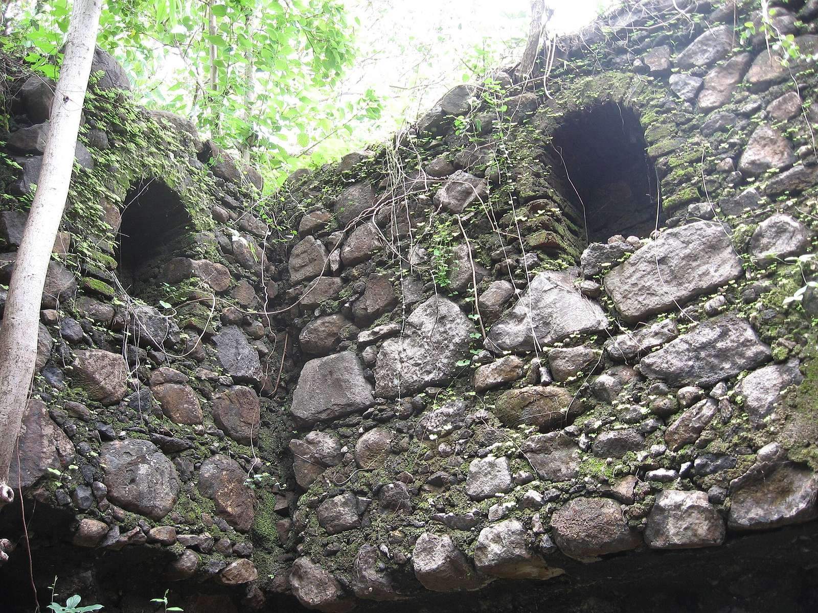
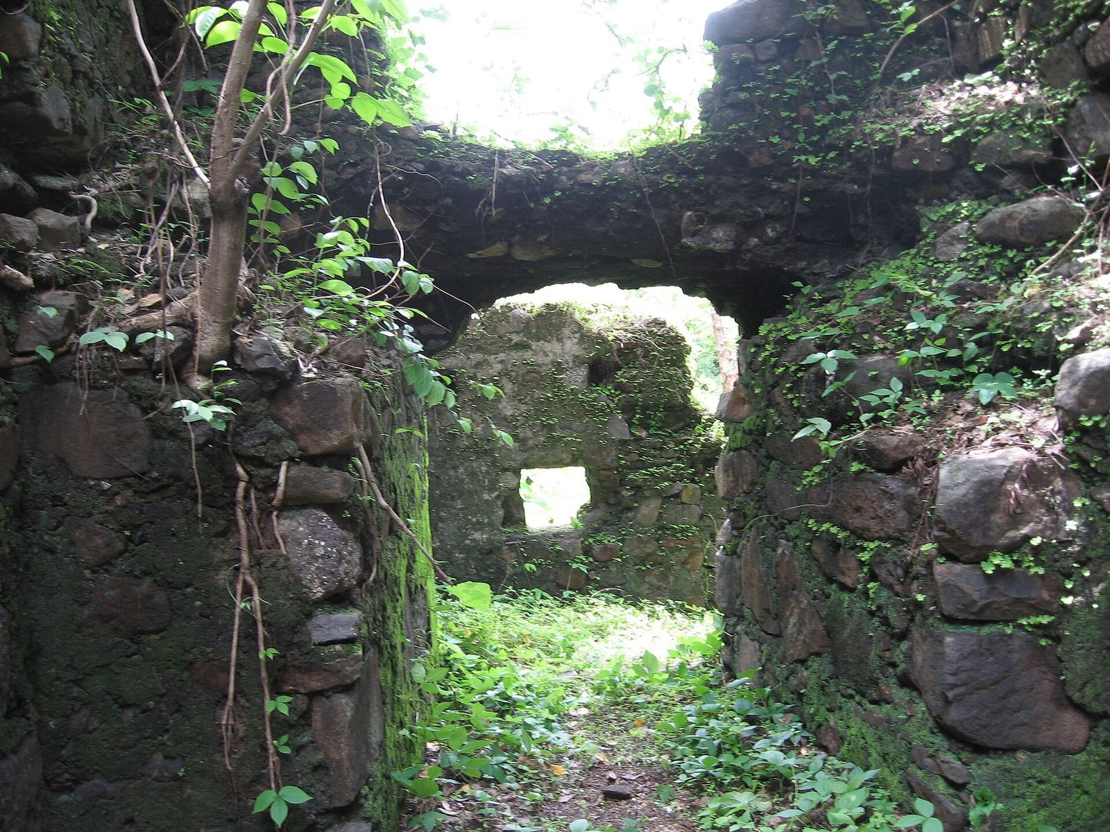
Built of basalt and lime mortar, the fort stands atop a hillock near the mouth of Panvel Creek and served as a fixed artillery position. It is partly demolished and in dilapidated condition. A nearby pond supplies water to the area and is vulnerable to being choked by debris. Local residents believe a tunnel connects the fort to Gharapuri Island, associated with the Elephanta Caves, a group of rock-cut cave monuments.