Castell de la Saira: A Medieval Fortress in Spain


Site at a Glance
- Rating
- 4
- Popularity
- Very Low
- Country
- Spain
- Primary era
- Medieval
- External website
- Open
- Eras represented
- Classical, Medieval
- Civilizations
- Iberian
- Site type
- Military
- Remains
- Castle
On this page9 sections
History
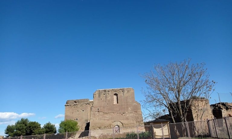
Castell de la Saira is a ruined medieval fortress in Spain, located in the municipality of Almacelles in the Segrià region of Lleida. The site stands within the hamlet of La Saira and preserves evidence of occupation from the pre-Iberian period through the medieval era. Its fortification remains are generally dated to the tenth or eleventh century, although the date of the entire complex is uncertain.
Pre-Iberian and Iberian settlement
Finds from the pre-Iberian and Iberian periods indicate that the hill was occupied for a long time. The settlement may have begun around the seventh century BC and was later abandoned during Romanization, the gradual adoption of Roman institutions, culture, language, and material practices.
Islamic and medieval fortress
The site may have been reoccupied during the Islamic period, at least from the tenth century and particularly during the eleventh century. The origins of the castle may belong to the period when this area formed part of the Andalusi district of Larida. In that context, it may have functioned as a hisn, an Islamic fortified settlement or stronghold used to defend and administer a local territory. Its position may have enabled it to oversee a broad area, control the frontier, and offer refuge to the surrounding population.
The fortification probably continued in use after the Christian conquest of the region. The castle’s first written mention dates to 1148. Its later history is linked to the widespread destruction of the surrounding area during the seventeenth century, after which the site gradually declined.
Protection and archaeological work
Complaints submitted to the Provincial Commission for Artistic Heritage between 1970 and 1979 helped protect the archaeological site from complete destruction. Even so, it was gradually looted, and the last important remains were occupied by a tower belonging to Hidroelèctrica de Catalunya. Excavations and other interventions took place in 2001 and 2002, followed by restoration work in 2005. Castell de la Saira has been a Cultural Asset of National Interest as an archaeological area since 22 April 1949, and the Department of Culture of the Government of Catalonia protects it against further interventions.
Remains
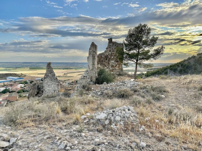
The ruins occupy the summit of Tossal de la Caperutxa, at an elevation of 351 metres. They stand on a Quaternary gravel deposit, formed during the most recent geological period and associated here with the activity of the Noguera Ribagorçana River. The surviving remains include an earlier settlement on the southern slope and a medieval fortified enclosure at the summit.
Medieval fortification
Walled enclosure
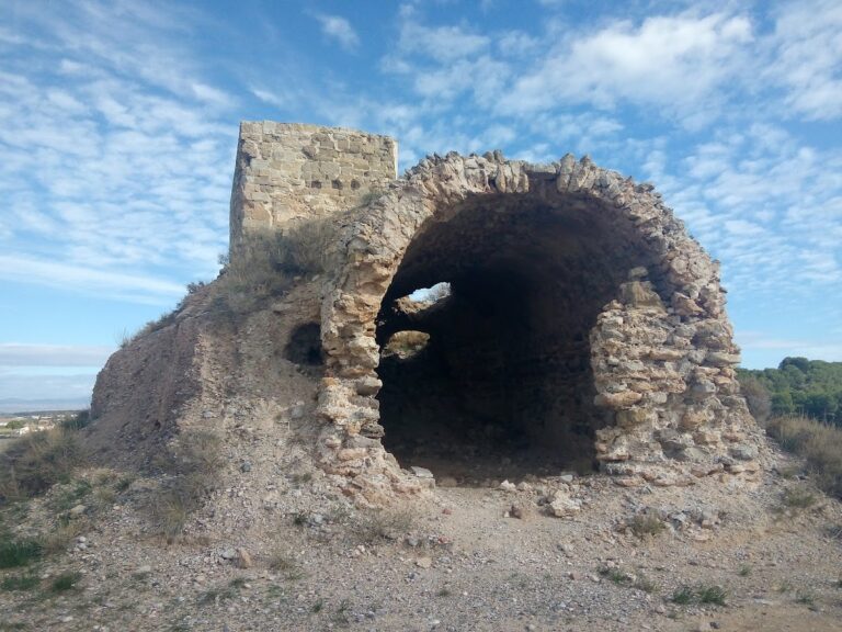
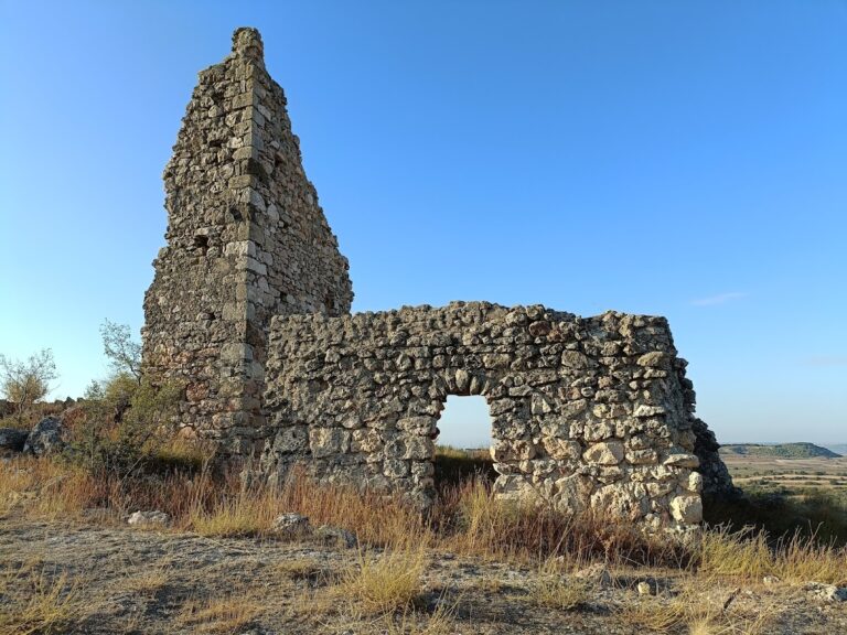
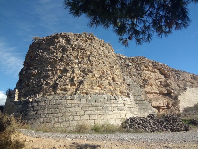
The medieval complex was arranged as a walled enclosure built with local stone and rammed earth. At the summit, an internal tower structure about 2 metres high remains visible. It appears to have been rectangular, although extensive removal of its stone makes the original form difficult to establish. The surviving masonry consists of relatively roughly worked small stone blocks.
Watchtower
The enclosure’s principal element was a large watchtower with a square plan. It may have been either solid or hollow. Only its base survives, while the tower may originally have reached approximately 7 to 9 metres in height.
Ilerget settlement
Substantial remains of an Ilerget settlement survive on the southern slope. The Ilergetes were an ancient Iberian people who occupied parts of the northeastern Iberian Peninsula, including the area around present-day Lleida. Dating to the third and second centuries BC, the excavated walls outline a series of dwellings arranged against a perpendicular wall. Other archaeological remains include parts of an ancient construction, several walls, storage pits or silos, and pottery. A geodetic marker, a fixed survey point used for measuring and mapping locations and elevations, is also located on the hill.
Nearby sites