Castell de la Guàrdia Pilosa: An Eleventh-Century Fortified Site in Spain


Site at a Glance
- Rating
- 4.4
- Popularity
- Very Low
- Country
- Spain
- Primary era
- Medieval
- External website
- Open
- Eras represented
- Medieval
- Civilizations
- Crown of Aragon
- Site type
- Military
- Remains
- Castle
On this page9 sections
History
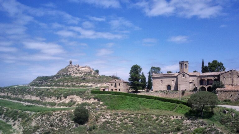
Castell de la Guàrdia Pilosa is a fortified site in Spain associated with the settlement of La Guàrdia Pilosa in the municipality of Pujalt, in Anoia. Probably built at the beginning of the eleventh century, it began as a circular tower overlooking the Rubió range and the natural passage from Igualada toward Calaf. Its name has been interpreted as meaning a watch-post in a deserted or sparsely populated place.
Early references and foundation
The earliest reference dates to 1022, when Viscountess Engúncia and her son Bermon donated lands in the County of Manresa to the Monastery of Sant Vicenç de Cardona. The boundary of those lands included a tower called the Guàrdia. In 1039, Engúncia and her sons Eribau and Folc transferred the Castle of Calaf to the Bishop of Vic, again identifying the Guàrdia tower, specifically a circular tower, as its southern boundary.
The site’s development during the twelfth century is uncertain. In 1237, however, Ramon Gàver and Saurina endowed the Monastery of Sant Benet de Bages with lands they held within the castle’s territory. The Gàver family served as castellans, the officials responsible for administering and defending a castle, as feudatories of the Cervera family.
Expansion and feudal lordship
A first enlargement probably took place in the late twelfth or early thirteenth century. The fortification was extended southward, and the original tower became part of a larger castle complex. A second enlargement followed toward the north at the end of the thirteenth or the beginning of the fourteenth century, creating additional enclosed spaces.
In 1251, the Cervera family transferred the castle to King James I of the Crown of Aragon through an exchange. The general hearth census of 1378, which counted households rather than individuals, listed nine hearths in the castle’s jurisdiction, seven royal and two ecclesiastical. In 1379, King Peter III sold the territory, with a right of redemption, to Joan de Montbui together with Veciana and Sant Martí Sesgueioles. King John I made a perpetual sale of the same territories in 1392 to Mateu de Calders and his successors, the Barons of Segur.
Later record and investigation
The castle’s castellany, meaning the office or jurisdiction of its castellan, was recorded in the late eighteenth century in connection with the knight Salvador March. An archaeological intervention in 2007 and 2008 examined the fortification for approximately one month to define its structures and identify possible internal spaces. Castell de la Guàrdia Pilosa is protected in Catalonia as a Cultural Asset of National Interest, classified as a historic monument, and is also registered as a Spanish Asset of Cultural Interest.
Remains
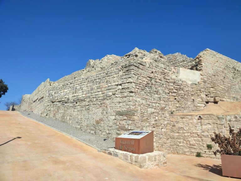
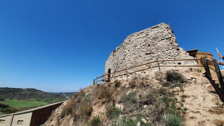
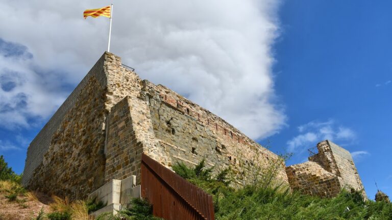
The remains occupy the summit of a small, rounded hill west of the present settlement of La Guàrdia Pilosa. The summit is completely flat and is shared with a geodetic vertex, a surveyed reference point used for mapping, topped by a small communications antenna. The elevated position commands the Rubió range and the natural route between Igualada and Calaf. Part of the castle wall survives, while the arrangement of the houses indicates that the summit was formerly enclosed by a fortification.
Tower and first enclosure
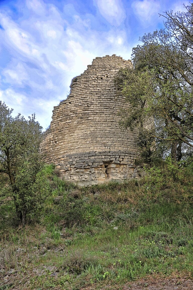
Circular tower
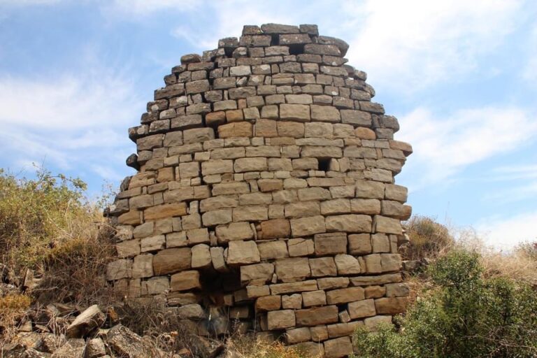
Archaeological work exposed the lower part of a circular tower built from stone bonded with lime mortar. Its outer diameter measures 13 metres, making it considerably larger than towers normally found in the surrounding comarca, a county-like administrative area in Catalonia. The interior has been partly dismantled, but a surviving section shows a wall thickness of 2 metres. At its full height, the tower would therefore have been imposing in scale.
Southward enlargement
During the first enlargement, the circular tower was converted into a rectangular tower. A wall was constructed across the southern side to enclose the area, and two stairways were added. One led to the rectangular tower, while the other may have reached the remains of an earlier wall-walk, a passage along the top of a defensive wall used by defenders to move around the fortification.
Northern enclosure and later reuse
The later northern enlargement defined spaces that may have served as dwellings and added another length of wall to complete the defensive enclosure. One of the castle’s spaces was subsequently reused as a water tank, adding a later practical function to the surviving complex.
Nearby sites