Castell de Castelltallat: A Castle with Territorial Jurisdiction
Site at a Glance
- Rating
- 4.6
- Popularity
- Low
- Country
- Spain
- Primary era
- Medieval
- External website
- Open
- Eras represented
- Medieval
- Civilizations
- Crown of Aragon
- Site type
- Military
- Remains
- Castle
On this page10 sections
History
Castell de Castelltallat is a tenth-century castle in Spain, built as a fortified centre with jurisdiction over a defined surrounding territory. It was recorded in 937, when it formed part of the system of fortified centres used to administer and control local districts. Historical records also name it Montdó, Montedono, and Castrodon.
Construction and development
The castle was constructed during the tenth century. Archaeological interpretation places at least its oldest walls among the earliest fortification phases of the tenth or eleventh centuries. The complex then expanded through successive additions, with later building work continuing during the twelfth and thirteenth centuries.
Castell de Castelltallat fell out of use by the late thirteenth or early fourteenth century and subsequently deteriorated into ruins. Local tradition holds that Sant Miquel de Castelltallat church was partly built with stones taken from the former castle buildings. Archaeological work on the hill beside the church found remains across the summit and identified them with the castle through their form and their relationship to the surviving historical records.
Excavation and protection
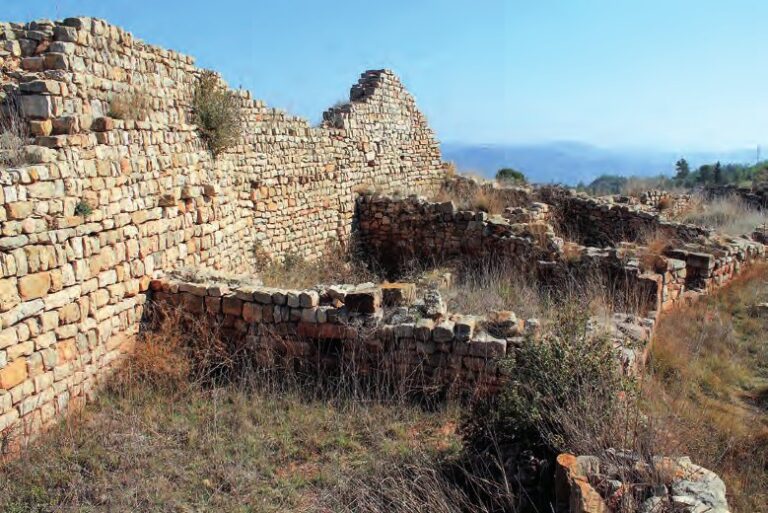
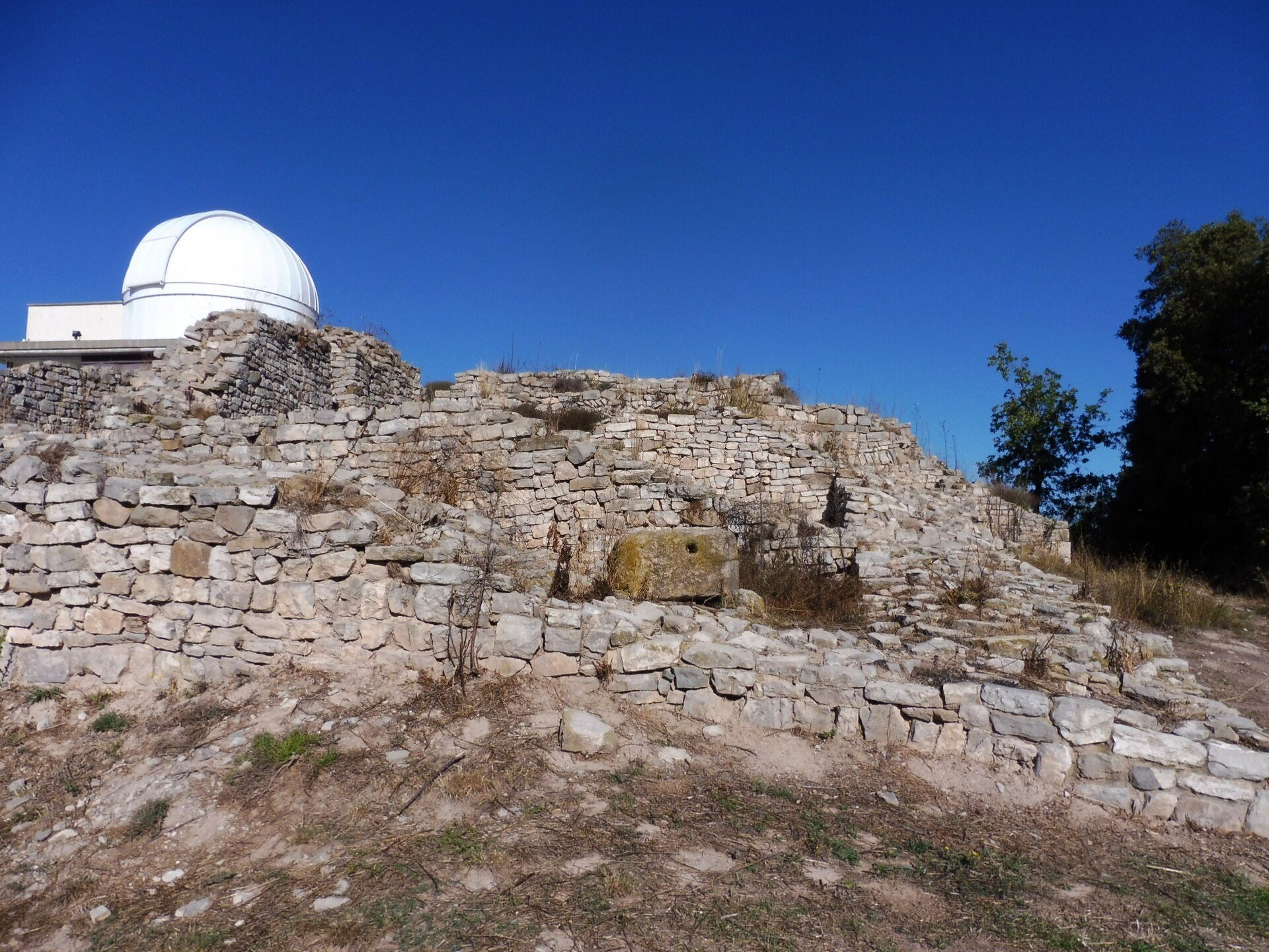
Between 1999 and 2003, archaeological campaigns accompanied a project to build the Castelltallat Astronomical Observatory. Before excavation, the site appeared as an irregular mass of ruins on the bare hill above the church. The work exposed the castle perimeter and numerous buried structures, revealing a much more extensive complex than the scant remains previously visible.
The excavated evidence indicates four construction phases, beginning with a square body that was probably a tower. Later structures were attached to it, followed by a larger addition that occupied almost the entire hilltop. Castell de Castelltallat is protected as a Cultural Asset of National Interest, Catalonia’s high-level legal designation for monuments and other sites of outstanding cultural importance. It is also included in the Catalan Architectural Heritage Inventory of Sant Mateu de Bages and lies within the protected Serra de Castelltallat area.
Remains
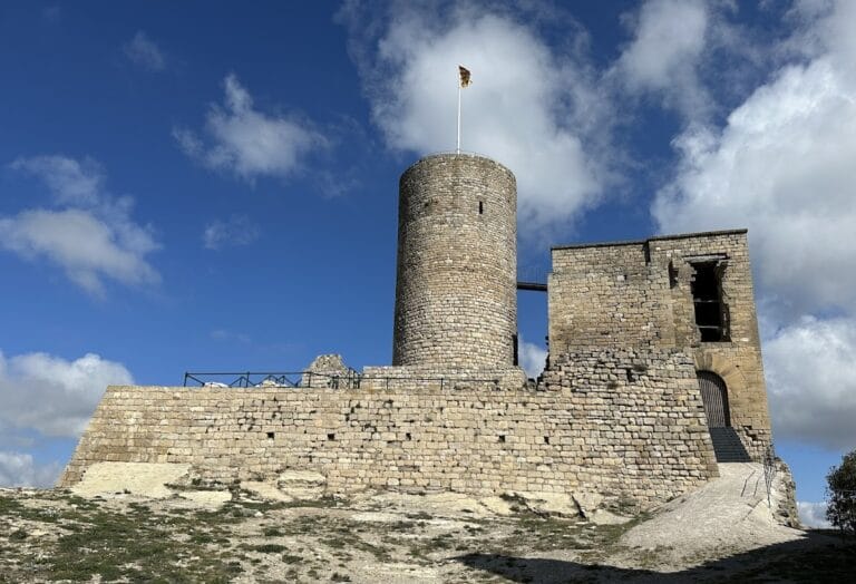
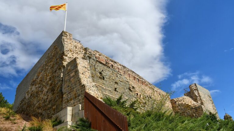
The remains occupy the summit of a hill beside Sant Miquel de Castelltallat church and the Castelltallat Astronomical Observatory, at an altitude of 893 metres. The surviving complex combines a tower, a large rectangular building, enclosure walls, and later additions arranged across the hilltop. Its high position provided extensive visibility over the surrounding territory, while archaeological deposits reach up to 3 metres in some places.
Early tower and principal buildings
Square tower
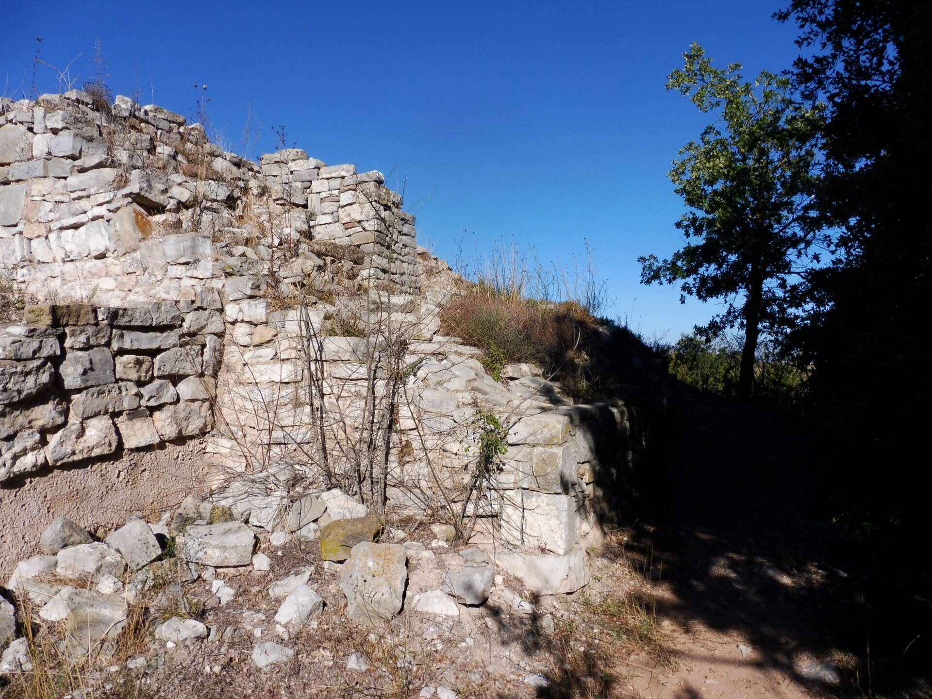
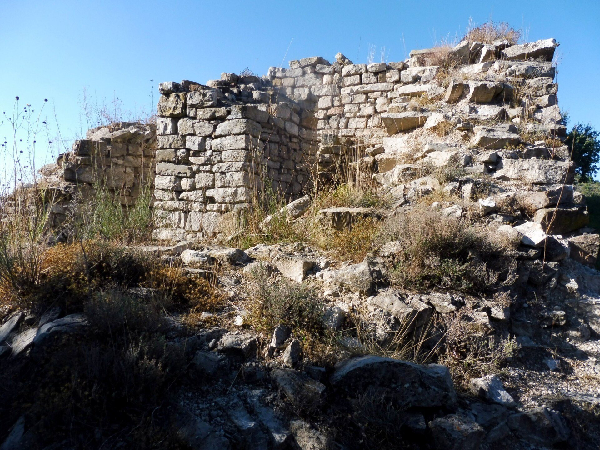
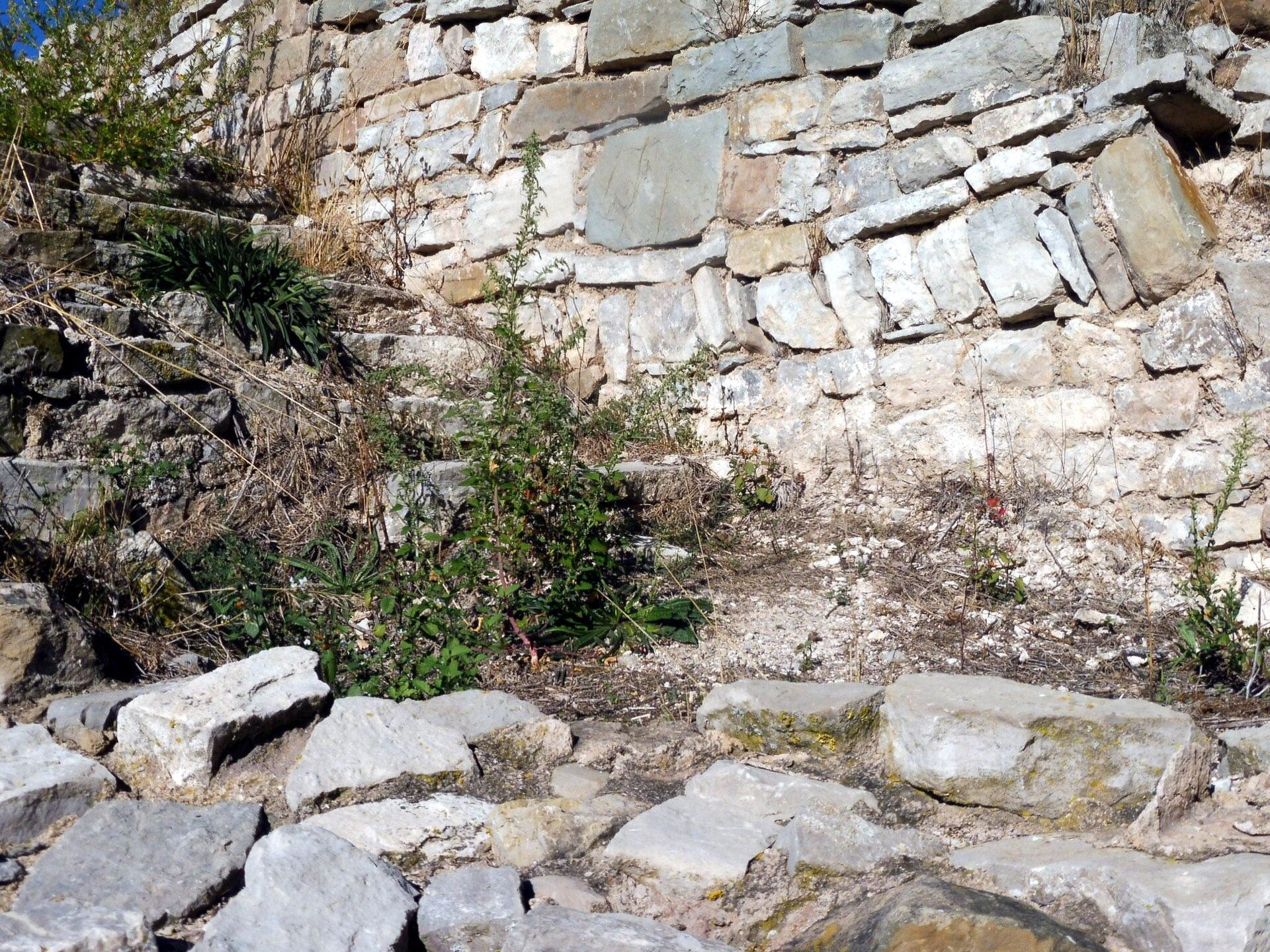
The earliest structure was a square-plan tower on the northeastern slope. Its walls are entirely coated with lime mortar and survive to almost 4 metres high. A second body was later attached to this square structure. The inner face of the addition contains irregular stones bonded with lime mortar and set between courses of opus signinum, a waterproof mortar made with lime and crushed ceramic material. At least two rows built with this technique remained visible.
Rectangular hall and enclosure
A large rectangular building occupies the highest part of the hill and forms a single body measuring 25.5 metres in length. Together with the rectangular hall and tower, the surviving enclosure walls close the known compound. These walls have considerably rougher masonry and date from the eleventh century.
Later enlargement and internal arrangement
Expanded enclosure
Later walls and structures belong to enlargements and alterations carried out during the twelfth and thirteenth centuries. The larger enclosure extended the built area across nearly the whole hilltop and contained at least two distinct internal spaces. Its construction transformed the earlier tower-centred fortification into a more extensive compound.
Courtyard and buried structures
Excavations identified buildings arranged in an L-shaped layout along the western and northern sides of the hill. The rest of the area formed a courtyard that was reused as cultivated land in the seventeenth century. Test excavations did not locate the enclosure limits on the southern and eastern sides. The substantial sediment accumulated across the summit preserved numerous buried structures beneath the irregular surface ruins.