Capitolium of Verona: Roman Civic Temple Complex
Site at a Glance
- Popularity
- Medium
- Country
- Italy
- Primary era
- Classical
- Eras represented
- Classical, Medieval
- Civilizations
- Roman
- Site type
- Religious
- Remains
- Temple
On this page14 sections
History
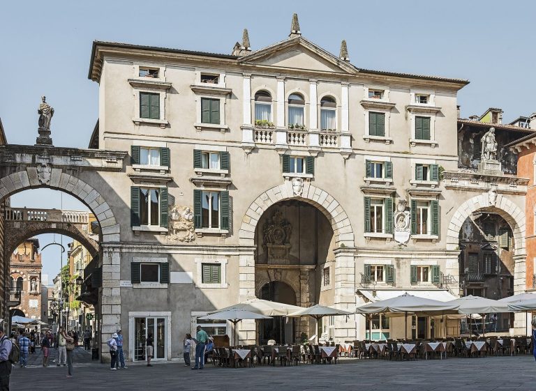
The Capitolium of Verona was a Roman temple complex in Italy, within the city’s ancient forum near today’s Piazza delle Erbe. Built in the second half of the first century BC and completed in 20 BC, it marked Verona’s elevation to the status of a municipium, a community incorporated into Roman rule with local civic institutions. Its deliberately old-fashioned temple design recalled Rome’s Capitolium, the principal shrine to Jupiter, Juno, and Minerva, gods central to Roman state religion. The design also expressed Verona’s political ties to Rome.
Foundation and civic role
The complex is placed in the second half of the first century BC, with construction completed in 20 BC. A separate estimate dates the inscription from its western precinct, and probably the complex, to the first decade of that half-century. The inscription was found in a structural element thought to belong to the same building phase. Its lettering, its use of a Roman name without a family-branch name, and regional masonry practice support the earlier estimate. The masonry, called opus incertum, used irregular stones set into a concrete core.
The temple’s commissioner is unknown. The project may have been sponsored by senators closely connected to Rome, or possibly by Gaius Julius Caesar, who was reportedly in Verona at the time. An inscription credits Marcus Magius with building the covered gallery, or cryptoporticus, and restoring the surrounding portico, a covered, columned walkway. He paid for this work himself.
Religious and civic activity
A sestertius, a Roman coin, of Emperor Domitian dated to AD 95 provides evidence of rebuilding on a portico wall. The coin may have marked the repair or served as a protective token. Since it depicts Jupiter, it may also have been placed to seek the god’s protection.
Two inscriptions placed in succession on a statue base reflect continued religious and civic activity. One honored a high-ranking woman who served as priestess of the deified Plotina, wife of Emperor Trajan and honored as a goddess after her death. The later inscription, dated to the late second or early third century AD, dedicated a statue to Jupiter Optimus Maximus. It was set up by the Ordo Veronensium, Verona’s council of decurions, or local councillors.
Decline, reuse, and rediscovery
An inscription dated to AD 379–380 says that a bronze statue was moved from the temple to the Forum after being left abandoned. The complex’s decline probably coincided with Christianity’s spread and a weakening of the Roman state. A fire in the late fourth century destroyed all or part of the three-sided portico. Around the fifth century, people stripped building materials from the abandoned and deteriorating complex. By the end of the seventh century, the gallery’s vaults had collapsed.
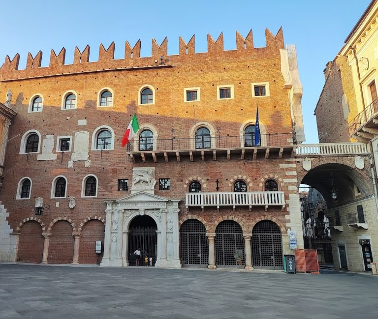
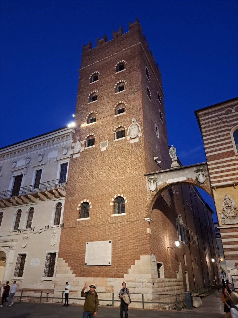
Later buildings rose over the Roman remains, including an early medieval room, a tower house, and the Loggia del Mangano. The complex came to light in the late 1980s and was excavated in the early 1990s by archaeologist Giuliana Cavalieri Manasse.
Remains
The complex occupied an artificial embankment about 80 metres across. Its main elements were a temple to the Capitoline Triad, a portico surrounding three sides of the precinct, and a covered gallery beneath it that helped retain the raised ground. The front of the precinct remained open.
Temple platform and access
Temple
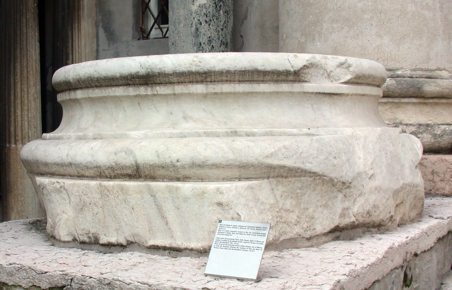
The temple measured 42.20 metres long and 35 metres wide. Its three enclosed chambers, or cellae, followed the Tuscan order, a plain Roman style derived from the Doric tradition. The front had three rows of six columns. The building echoed the form and decoration of Rome’s Temple of Jupiter Optimus Maximus, though it was about one-third smaller. Its entrance porch, or pronaos, extended 20.40 metres deep. A foundation platform probably about 4 metres high rested on a level where pottery fragments indicate human activity between the third and first centuries BC.
Staircase and raised approach
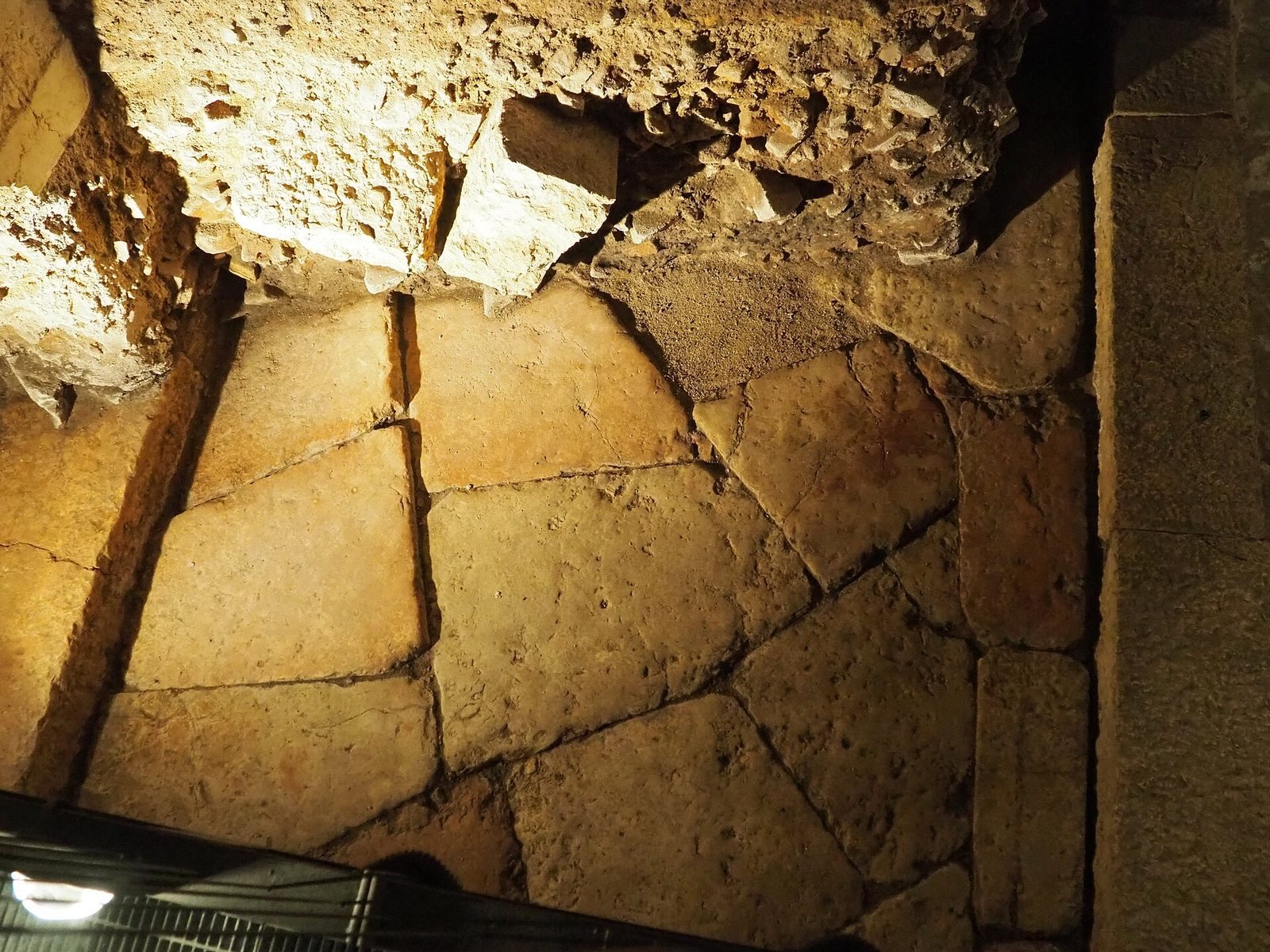
A broad staircase connected the temple with the Forum and the decumanus maximus, the town’s principal east–west street. A small portion of the stairs was found in a cellar at Corso Porta Borsari 4. Excavation there led to the proposal that a raised platform ran beside the street, linking it with the stairs and giving access from the side to the portico and covered gallery.
Portico and underground gallery
Portico
A double portico extended around three sides of the precinct, leaving the temple’s front open. The inscription naming Marcus Magius credits him with its restoration. The portico probably also served as the city’s archive. The complex used readily available materials, sometimes of poor quality, with stone reinforcement concentrated at the points under greatest structural strain. Marble and bronze later embellished the temple’s walls and floors, alongside inscriptions and sculptures; little of this decoration survives.
Cryptoporticus
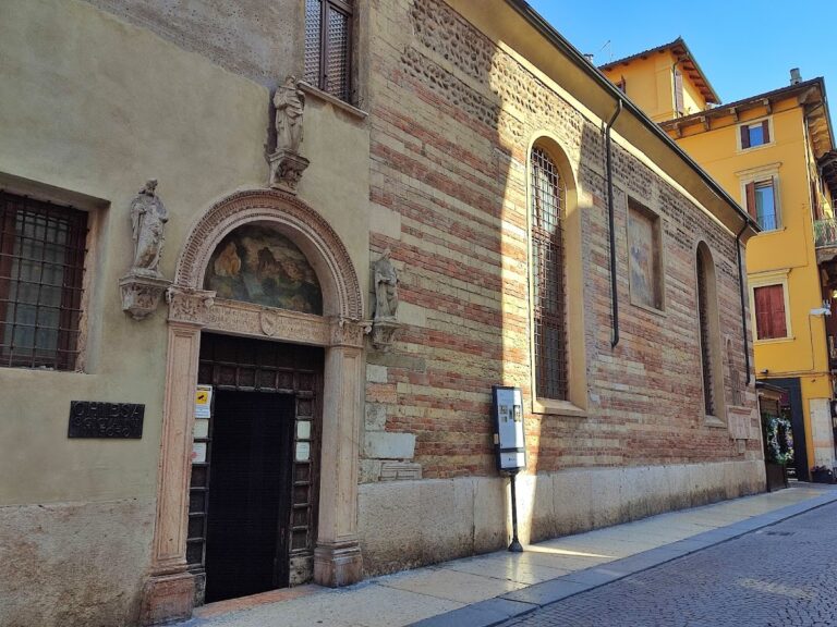
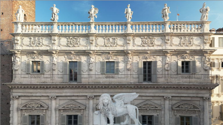
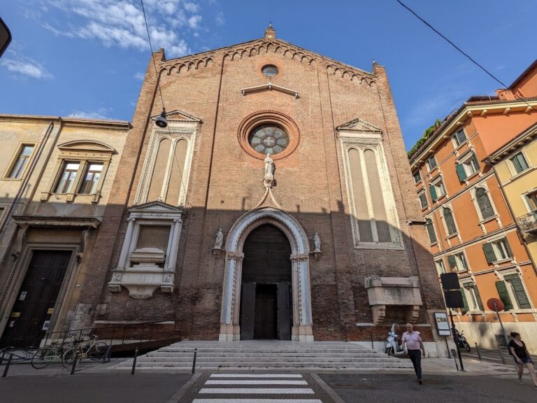
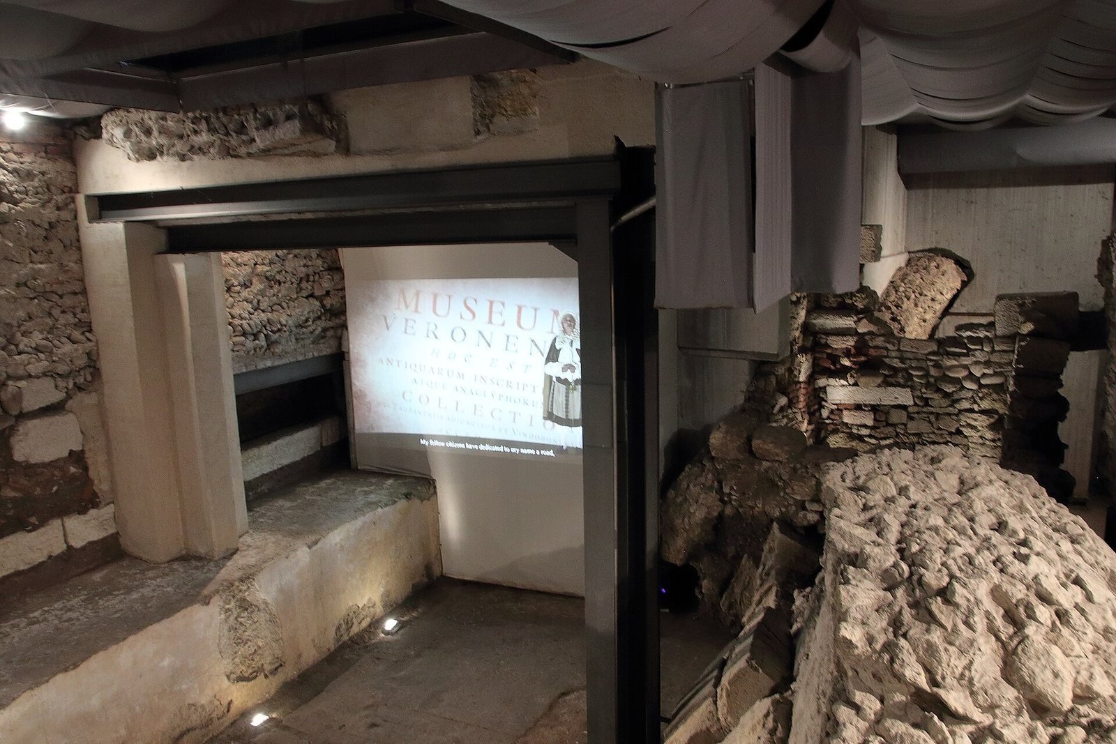
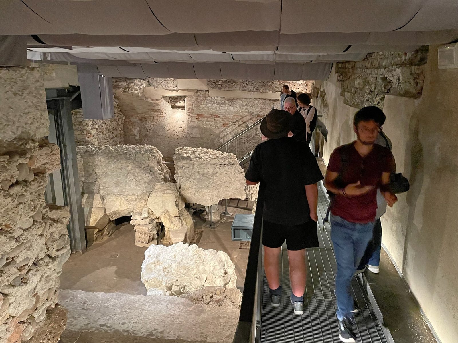
The gallery’s side wings lay about 11.50 metres from the temple, while the rear gap was probably about 5 metres because of the nearby street. Its two aisles were each 4.50 metres wide and originally about 4.80 metres high. Barrel-shaped vaulted ceilings covered them, and arches supported the central dividing wall. Openings set at intervals of about 4 metres were splayed to admit light and air. Clay roof tiles lining the walls left a cavity 10 to 15 centimetres deep, helping protect the passage from damp in the embankment. Parts of the gallery survive beneath the loggia of Corte Sgarzerie, in the crypt of San Benedetto al Monte, and below Palazzo Maffei.
Later remains and archaeological finds
Structures over the Roman complex
The early medieval room remains visible in the archaeological area of Corte Sgarzerie, and foundations of the later tower house also survive. These remains belong to the later occupation of the Roman site.
Bronze land-survey tables
Excavation of the gallery uncovered two fragments of bronze tables used to record land holdings. They are rare examples of Roman centuriation, a system for surveying and dividing rural land. One fragment, dated to 40–30 BC, preserves the upper-left corner of a panel engraved with a grid. Its cells recorded plot coordinates, areas in iugera, a Roman unit of land area, and owners’ names, including Caius Cornelius Agatho and Marcus Clodius Pulcher.
The second fragment dates to the second half of the first century BC and bears rectangular incisions. The readable names in the central of its seven surviving cells are Bituci, Vindili, and Segomari, identified as Celtic in origin. This fragment relates to smaller plots than the first table.