Burkvíz: A Medieval Castle Ruin in Czechia


Site at a Glance
- Rating
- 4.5
- Popularity
- Very Low
- Country
- Czechia
- Primary era
- Medieval
- Eras represented
- Medieval
- Civilizations
- Holy Roman Empire
- Site type
- Military
- Remains
- Castle
On this page6 sections
History
Burkvíz is a ruined medieval castle in Czechia, built by an unknown builder and existing by the second half of the thirteenth century. Its exact foundation date is uncertain because no medieval written records of the castle survive. The site probably became the center of the surrounding region during the colonization of Silesia.
Origins and regional role
Burkvíz has also been associated with the names Luginsland, Lungsland, Lungswalde, Schlossberg, Burghau, and Burgwall. The castle may have originated earlier than the archaeological date suggests. A fortification called Lugswalde was mentioned in 1050, during the rule of Duke Bretislaus I, as a defense of the northern Moravian frontier. This has been proposed as an earlier reference to Burkvíz, although Lugswalde was later identified with Albrechtice.
Capture and abandonment
By 1474, the castle belonged to George Stos of Kounice, lord of the Albrechtice estate and a supporter of George of Podebrady, the fifteenth-century king of Bohemia. In that year, Matthias Corvinus, king of Hungary, approached Burkvíz with his army during his campaigns in the lands of the Bohemian Crown and neighboring regions. The castle fell after a two-day siege and was never rebuilt.
The surviving ruins are protected as a cultural monument. Their remains preserve the outline of a fortified site that played a regional role before its destruction in the fifteenth century.
Remains
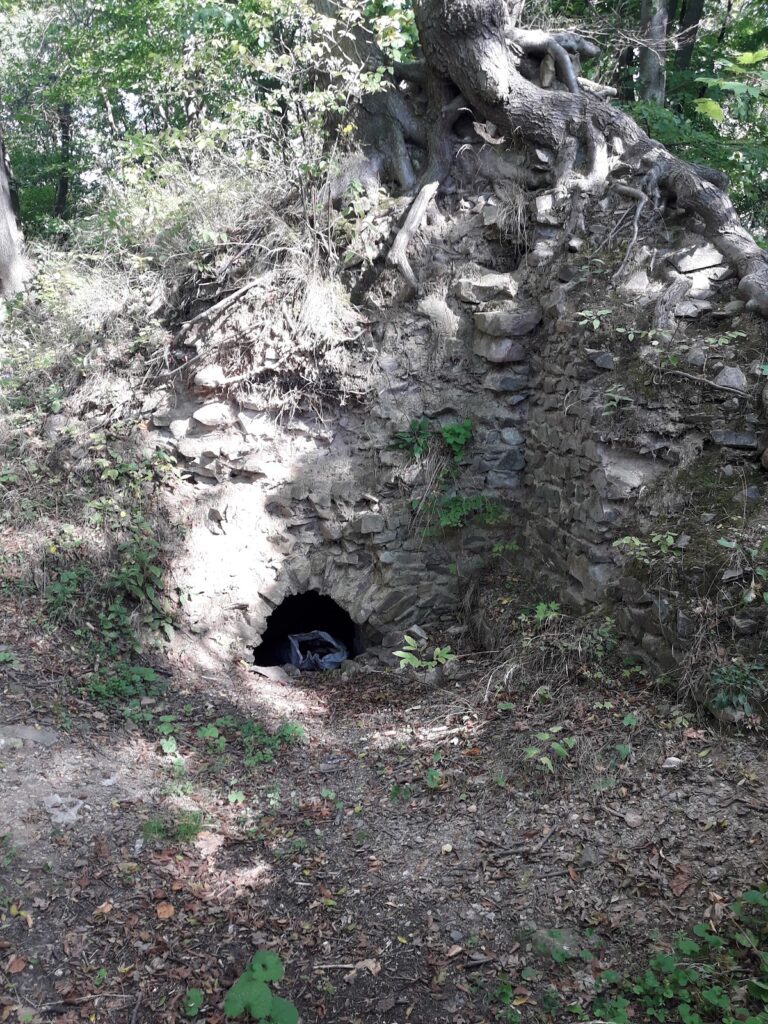
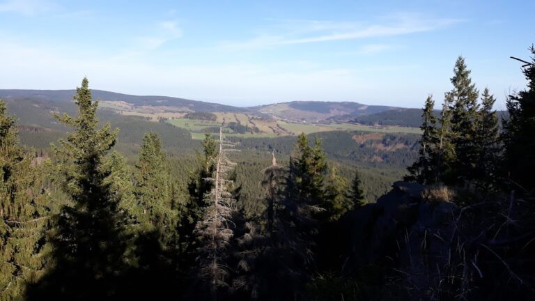
Burkvíz occupied a ridge on Hradní vrch at an elevation of 654 metres, between the settlement of Burkvíz and the municipality of Vraclávek. The castle comprised a roughly circular inner castle and an outer bailey, an enclosed area outside the principal fortified core. Construction used stone bonded with clay or laid without mortar, known as dry masonry.
Inner castle
The inner castle measured up to 60 by 44 metres and was enclosed by a moat cut into the bedrock. Part of the moat later filled in after the castle wall was destroyed. A rampart beside it was made from stones laid without mortar.
Depressions in the ground mark the positions of former buildings within the inner castle. A probably square tower stood in its northwestern part, measuring approximately 13 by 14.3 metres. Its lower portion was probably built of stone, while the upper part was wooden. A well lay beneath the tower, although its surviving remains are now difficult to distinguish.
Outer bailey
The outer bailey extended northwest from the inner castle and joined the castle rampart. It had a horseshoe-shaped plan and measured 72 by 38 metres. The area is now densely wooded.
Archaeological investigations conducted between 1935 and 1940 revealed the foundations of the outer bailey’s perimeter wall. These foundations reached up to 2 metres in width, providing evidence for the scale of the enclosure and its relationship to the inner castle.
Nearby sites