Burgwallinsel: A Slavic Fortified Tribal Center in Germany


Site at a Glance
- Rating
- 3.6
- Popularity
- Very Low
- Country
- Germany
- Primary era
- Medieval
- Eras represented
- Medieval
- Civilizations
- Unclassified
- Site type
- Military
- Remains
- Fortified Town
On this page7 sections
History
Burgwallinsel is a medieval Slavic fortified settlement and tribal center on an island in Lake Teterow, Germany, near Teterow. Built during the Slavic period, it existed from the eighth century until the end of Slavic rule in Mecklenburg-Vorpommern and served the Zirzipanen, a medieval Slavic tribal group associated with the region. Archaeological investigations in the 1950s identified the island as a major fortification and tribal center, while its surviving earthworks remain visible today.
Tribal Center and Refuge Fortress
Burgwallinsel was densely settled during the Slavic period. Its fortified enclosure probably served as a refuge fortress for the many small Slavic villages believed to have been scattered around Lake Teterow. The main fortress probably housed the tribal ruler and his garrison, while craftspeople worked in the outer bailey, the less strongly defended area adjoining the central enclosure. Markets were sometimes held on the island.
The land in front of the fortification probably contained individual houses and may also have been used to keep cattle and horses. Archaeological work identified a distinct local ceramic style at Burgwallinsel, providing evidence of the settlement’s particular material culture. A cult hall remains a possibility. Larger Slavic strongholds are generally considered likely to have included cult places where pagan deities were worshipped, but this interpretation has not been confirmed for Burgwallinsel.
Remains
Island and Fortifications
Burgwallinsel is a long, narrow island in Lake Teterow, about 1 kilometre long and 190 metres wide, with an area of approximately 26 hectares. The Slavic fortification occupied only a small area at the island’s northern end. It combined a relatively small main fortress with an outer bailey, while the lake naturally protected the sides of the main enclosure that were not fortified.
Main Fortress
The main fortress covered approximately 0.6 hectares. A gate was identified on its lake-facing side, and it could be reached only by boat. A connection probably linked the outer and main fortifications, although its precise form remains uncertain.
Rampart and Outer Bailey
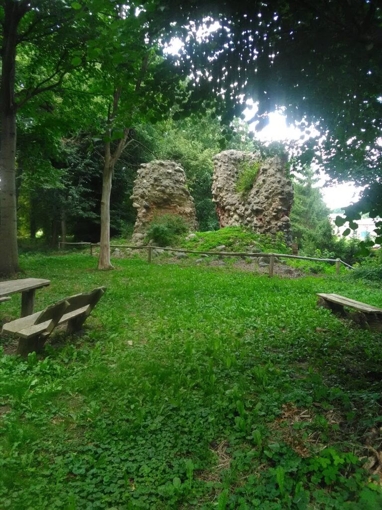
The earthwork rampart, a raised defensive embankment formed largely from packed earth, is now well preserved and nearly 6 metres high. During the Slavic period, it probably reached 9 to 10 metres, with an oak palisade, a defensive wall made from upright wooden posts, rising another 4 to 5 metres above its crest. Together, these defenses may have reached an estimated 13 to 15 metres. The outer bailey formed the less strongly defended area adjoining the main fortress.
Bridge to the Mainland
A bridge once connected the island to the mainland at its southern end. Archaeological investigations indicate that it was approximately 750 metres long, making it one of the longest known bridges from the Slavic period and demonstrating the substantial scale of construction associated with the settlement.
Nearby sites