Burgus Bacharnsdorf: A Roman Frontier Watchtower in Austria
Site at a Glance
- Popularity
- Medium
- Country
- Austria
- Primary era
- Classical
- Eras represented
- Classical
- Civilizations
- Roman
- Site type
- Military
- Remains
- Tower
On this page8 sections
History
Roman frontier post
Burgus Bacharnsdorf is a small Roman fortified post, or watchtower, near Mitterarnsdorf in Austria, probably built around AD 370 as part of the Limes Noricus, Rome’s Danube frontier in Noricum, a Roman province in the region of present-day Austria and neighboring areas. It guarded the riverbank and the entrance to the southeast-opening Kupfertal ravine, also known as the Dürrenbachtal. A Roman road through the valley connected the Wachau with the imperial route between Cetium, now St. Pölten, and Namare, now Melk.
Soldiers of the milites auxiliares Lauriacenses, a late Roman auxiliary unit associated with Lauriacum near modern Enns, probably built the tower during frontier-security measures under Emperor Valentinian I, a ruler of the later fourth century. The remains are among the best-preserved Roman monuments in Noricum.
Medieval use and place-name
The tower remained in use into the High Middle Ages. The place-name Bacharnsdorf is linked to Bishop Arno of Salzburg, who received a fief there from Charlemagne, a Frankish ruler who became emperor in western Europe, during the eighth century.
Recognition and conservation
Nineteenth-century observers proposed that the masonry and coin finds from the area belonged to a Roman watchtower, although the identification remained uncertain. Local historian Alois Topitz drew renewed attention to the site in 1964. An initial investigation led by Herma Stiglitz of the Austrian Archaeological Institute in 1970 found pottery that confirmed the Roman origin of the masonry.
In 1985 the Austrian Federal Monuments Office recorded the building. Deposits to its north, west, and especially east were removed to below the ancient archaeological layer, and the masonry was extensively repaired and conserved. The remains have formed part of the UNESCO World Heritage property of the Danube Limes since 2021 and are protected as archaeological monuments under Austria’s Monument Protection Act.
Remains
Tower and setting
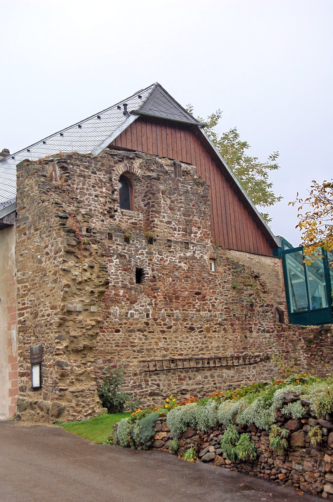
The nearly square tower measured about 12.2 by 12.4 metres and stood at the northeastern end of a river flat near Mitterarnsdorf, before the Danube narrows. It lay east of the Kupfertalbach, along the extension of the ravine and downstream from the next steep slope. Since the ground rises gently from the river, the tower was set about 70 metres back from the Danube to reduce flood risk. It now stands within the village settlement near house Bacharnsdorf No. 7. A medieval farm building adjoins its south side, with higher ground to the west and a garden area to the north.
Structure and surviving masonry
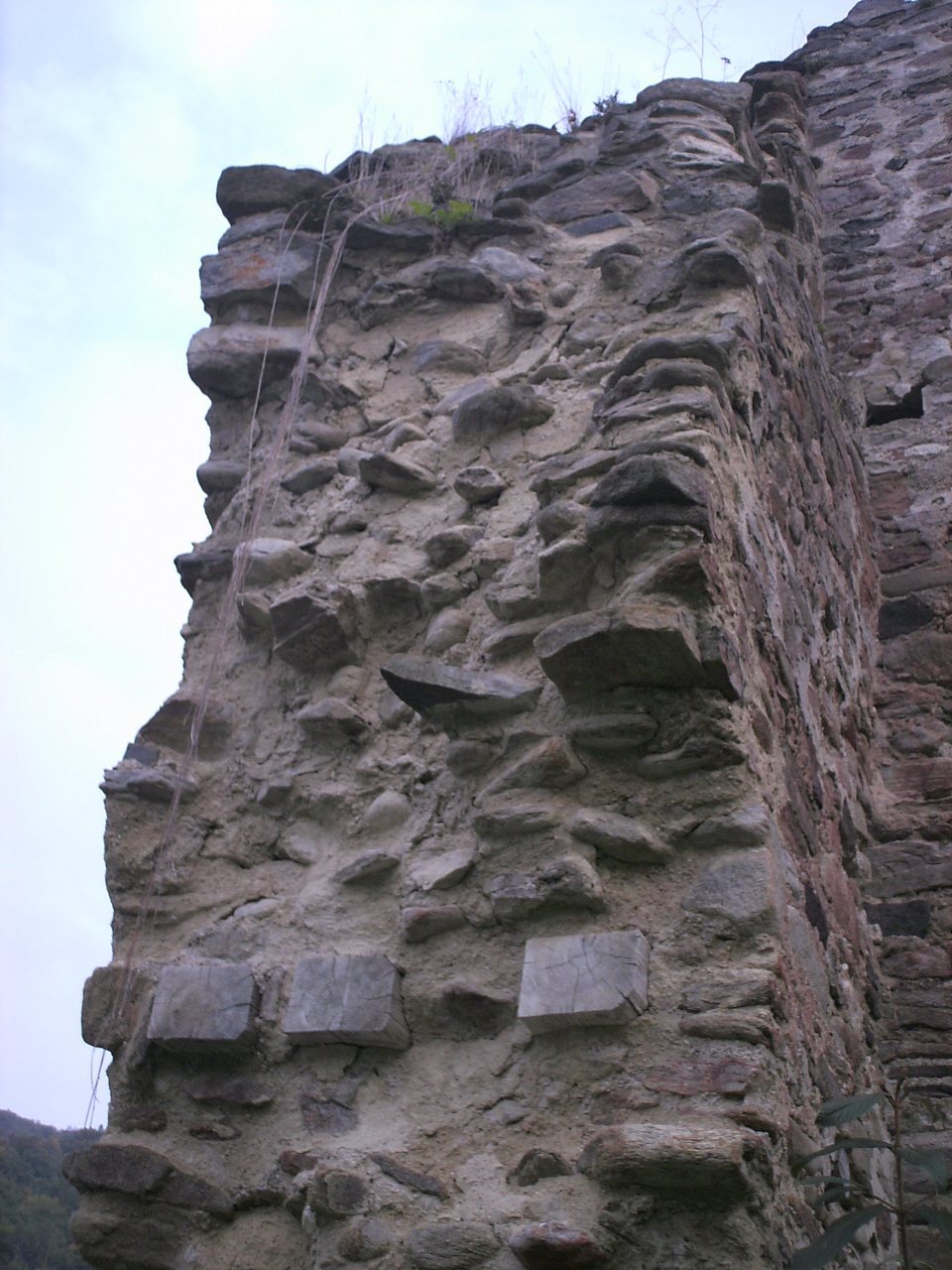
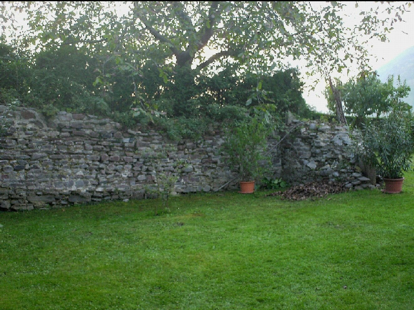
The tower had a ground floor and two upper storeys. Its foundations were about 1.5 metres wide, while the standing walls are about 1.6 metres thick and narrow toward the top. Impressions left by beams that supported the intermediate floors remain visible. The entrance was probably at ground level on the north side. The ground floor may have served as a storeroom, the first upper floor as troop accommodation, and the second as a watch room. Two narrow slit windows on each side ventilated the first upper floor; each wall of the second floor had two large round-arched windows. The roof was probably tent-shaped and tiled. The south wall survives to more than nine metres, retaining slit and round-arched openings up to the second floor. The southwest corner stands about two metres high, and the foundations of the west and north walls remain.
Road and finds
Wheel ruts remain along the Roman road that ran through the Kupfertal. Pottery recovered during investigations is held at the Museum Mautern.