Burgstelle Kybfelsen: A Medieval Spur Castle in Germany

Site at a Glance
- Rating
- 4.7
- Popularity
- Low
- Country
- Germany
- Primary era
- Medieval
- Eras represented
- Medieval
- Civilizations
- Holy Roman Empire
- Site type
- Military
- Remains
- Castle
On this page6 sections
History
Burgstelle Kybfelsen is the site of a former medieval spur castle in Germany, above Freiburg im Breisgau. Conventionally dated to the late eleventh or early twelfth century, it belonged to the historical landscape of the Breisgau during the period of Zähringer rule, although its precise foundation date, builders, and owners remain unknown.
Early occupation and medieval foundation
The castle stood on a prominent rock between the present Freiburg districts of Günterstal and Kappel. Archaeological material recovered during excavations conducted by Otto Kantorowicz in the 1920s shows that the fortified site existed under the Zähringers, a medieval noble dynasty that ruled important territories in southwestern Germany, including the Breisgau. Surface finds also point to an earlier, at least temporary, Bronze Age settlement on the rock.
Pottery fragments from the twelfth and early thirteenth centuries indicate the period in which the castle was in use. The finds place its end in the first half of the thirteenth century. The site is later mentioned as a spur castle in the chronicle of Matthias von Neuenburg, a fourteenth-century writer who recorded places and events in the Upper Rhine region.
The name Kyburg
The name “Kyburg” first appears in 1484 in the Kappel Weistum, a locally applicable body of customary law. A connection with the Counts of Kyburg remains uncertain. This medieval noble family held its principal territories in parts of what is now northern and eastern Switzerland.
Remains
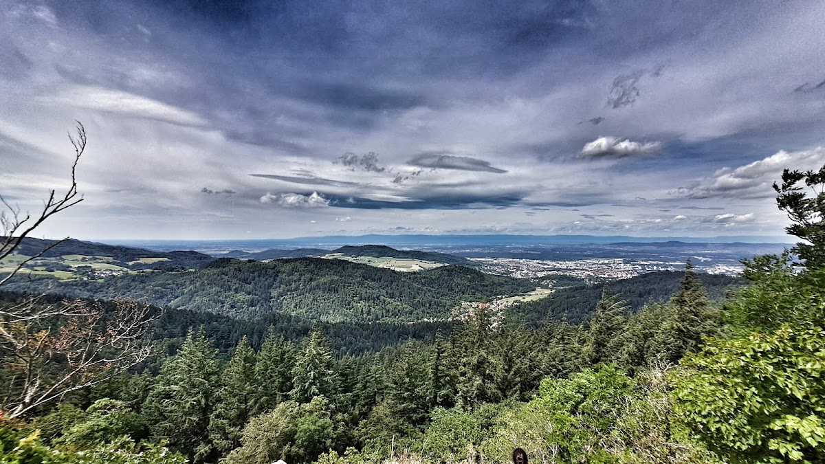
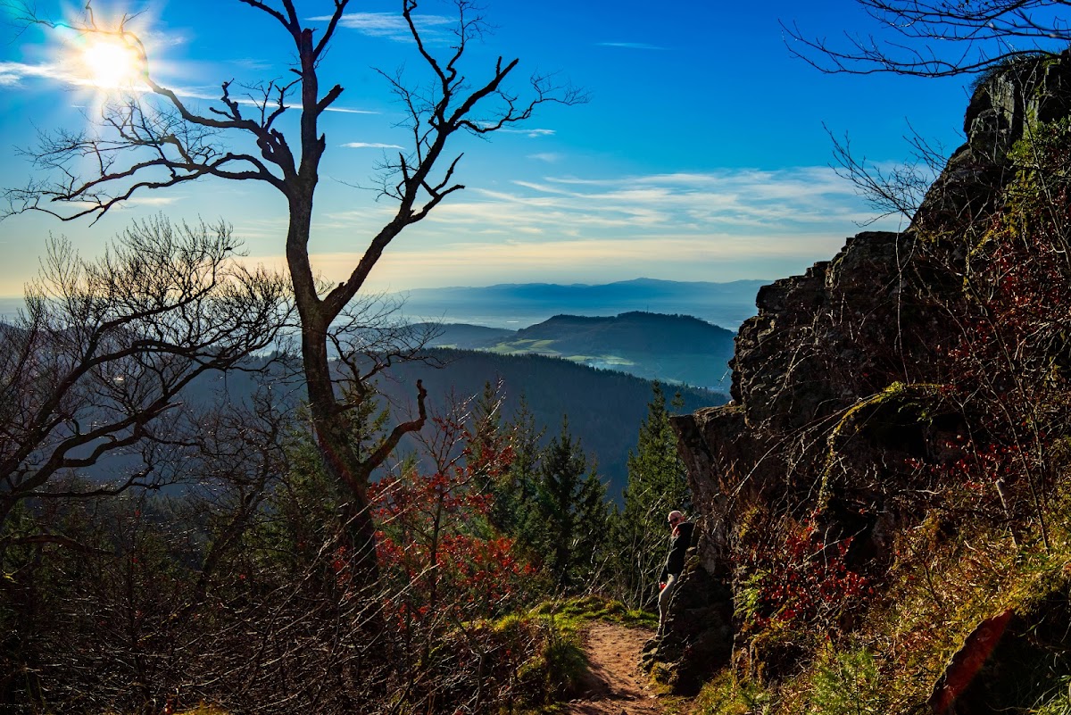
The castle occupied two rocky outcrops joined by a narrow mountain ridge at an elevation of 820.8 metres above sea level. The steep gneiss rock rises about 500 metres above the valley and lies approximately 2 kilometres from Günterstal Abbey. The complex extended for roughly 70 metres from the northern outcrop to a flatter rise in the south, with a maximum width of about 30 metres in its southern section. Its surviving fabric is concentrated mainly around the northern rock head.
Southern approach and ridge defenses
The southern approach was protected by a broad wall. Minimal traces remain visible in the ground, while an east building that once bounded the eastern side can no longer be identified. On the southwest, the castle met a rising rock face that ended at the tip of the spur in an artificially levelled, platform-like area. Foundation traces and a rebuilt wall section suggest a possibly tower-like structure there, identified as the South Tower in Kantorowicz’s 1929 ground plan.
The narrow ridge leading toward the northern outcrop was defended along its western side by a long wall. It was still clearly visible during the 1920s and has since collapsed. The eastern edge was protected by the natural drop of the rock. Together with the southern wall and the rising rock face, these features shaped the approach to the compact castle.
Northern rock outcrop
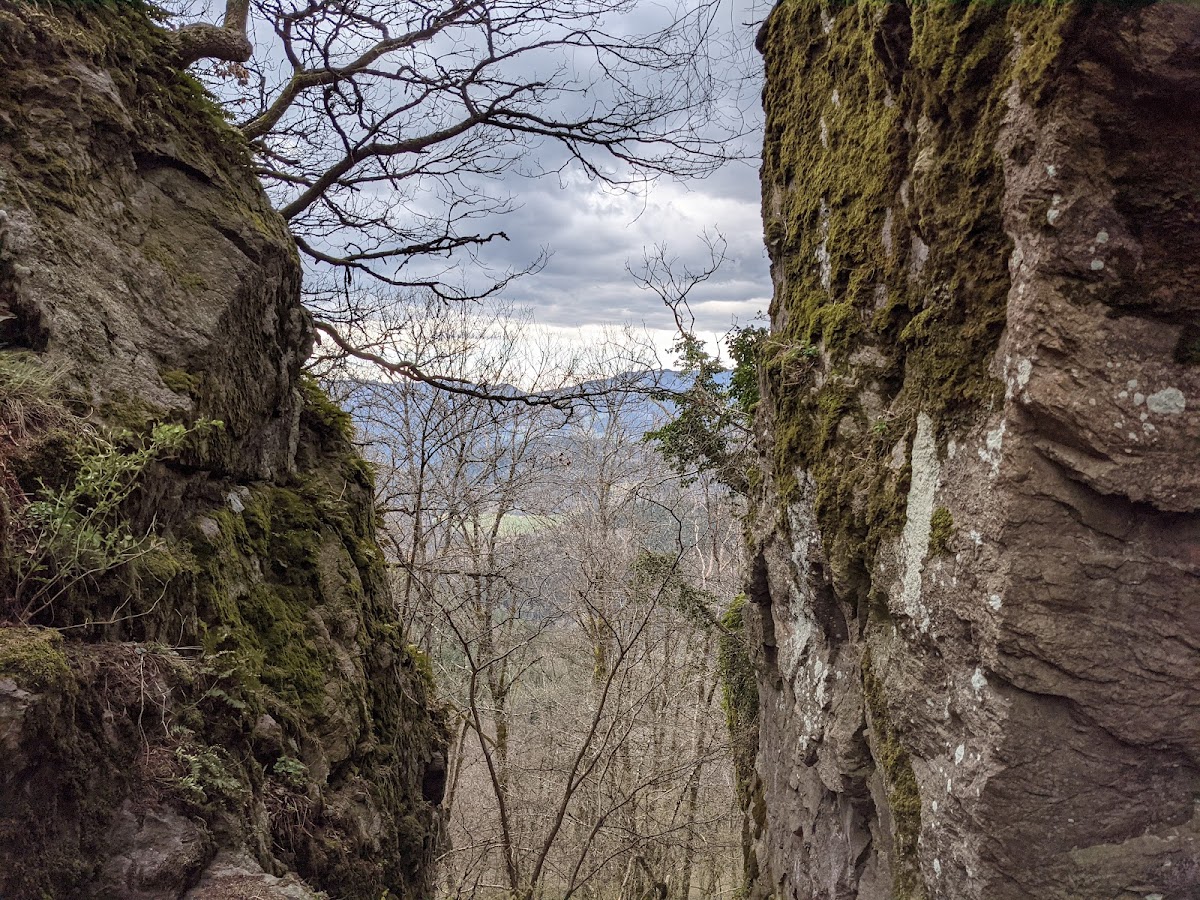
The principal masonry remains lie on the northern outcrop. At its highest point are traces of a tower stump approximately 8 metres wide, with walls reaching up to 2 metres in thickness. In front of the outcrop, a natural fissure in the rock forms a defensive neck ditch, a trench cut across the narrow approach to a spur. The fissure is approximately 12 metres deep and 3.5 metres wide, and its base was artificially levelled.
The castle’s surviving walls are fragmentary, with the northern rock-head area preserving the clearest physical evidence of its construction and defensive arrangement.