Burgstall Frickenhofen: A Small High Medieval Castle Site in Germany
Site at a Glance
- Popularity
- Very Low
- Country
- Germany
- Primary era
- Medieval
- Eras represented
- Medieval
- Civilizations
- Unclassified
- Site type
- Military
- Remains
- Castle
On this page5 sections
History
Burgstall Frickenhofen is a small former castle site near Frickenhofen in Germany, dating to the High Middle Ages, the central medieval centuries from about the 11th to 13th centuries. The local Frickenhofer noble family probably built the castle as its seat. Its members served the Ehrenfels family at Helfenberg.
The Frickenhofer seat and estates
The Frickenhofers held extensive property in the area, including Hausen, Garsdorf, Mittersdorf, Ischhofen, Wiesenacker, Alfalterbach, and Sallmannsdorf. From 1342, they also had a seat at Allersburg, where family members were known as the “Frickenhofer farmers.”
Links with Seligenporten Abbey
The family had close ties to Seligenporten Abbey. Several daughters of Albrecht I von Frickenhofen became nuns there, and family members were buried in the Frickenhofer Chapel, thought to have preceded the present abbey church. On May 25, 1336, Agnes, Albrecht I’s wife, gave the abbey all her property at Alfalterbach for their son Albrecht Frickenhofer. In 1342, members of the family known as the “farmers of Allersburg” endowed a mass to be held daily in the chapel.
Later family and abandonment
Among the last known members of the family were Kunigunde Frickenhofer, who donated to the Neumarkt hospital in 1381, and Heinrich Frickenhofer, a municipal official in Neumarkt in 1408. The family probably died out in the second half of the 15th century, after which the castle was likely abandoned.
Remains
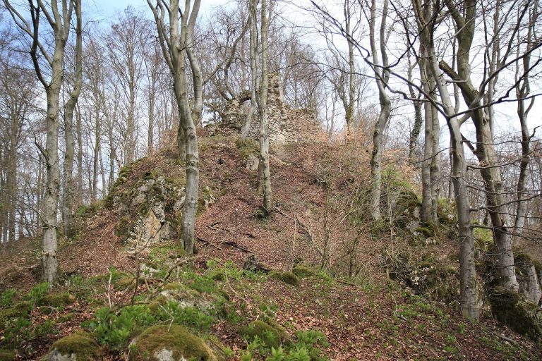
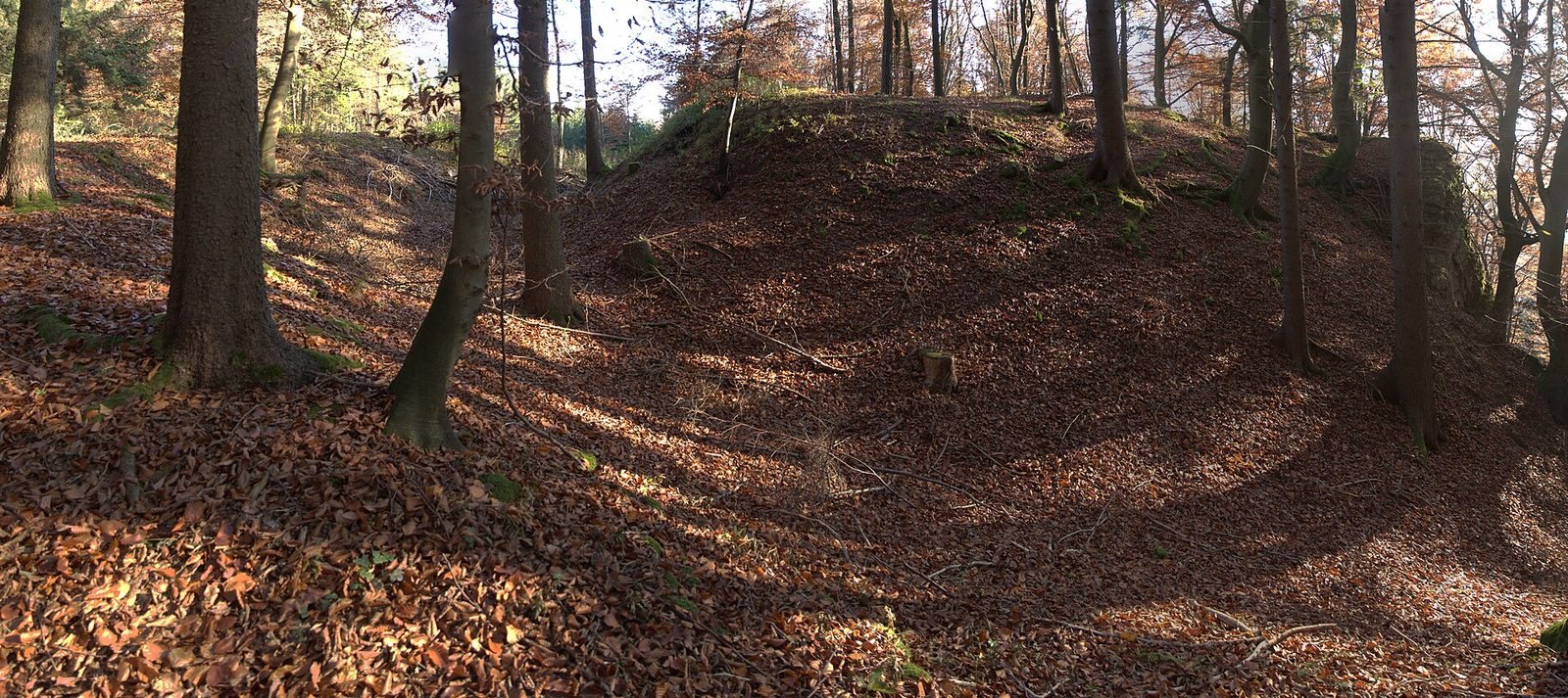
The castle site occupies a 550-metre-high hill in the Middle Franconian Jura, about 330 metres southeast of the centre of Frickenhofen. The hill rises from a high plateau, with the Lampertshofen stream’s hollow to the north and a side valley to the west. Its slopes descend about 70 metres to the village. A short rocky spur projects west from the hill’s northwest corner and forms its highest point.
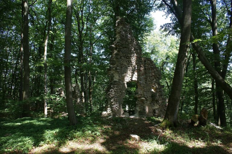
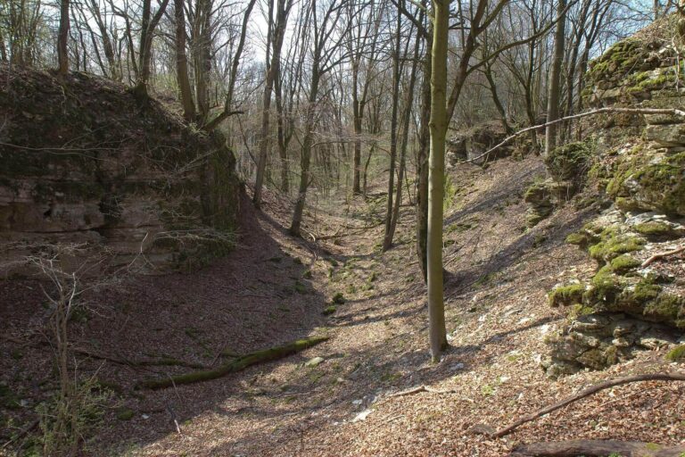
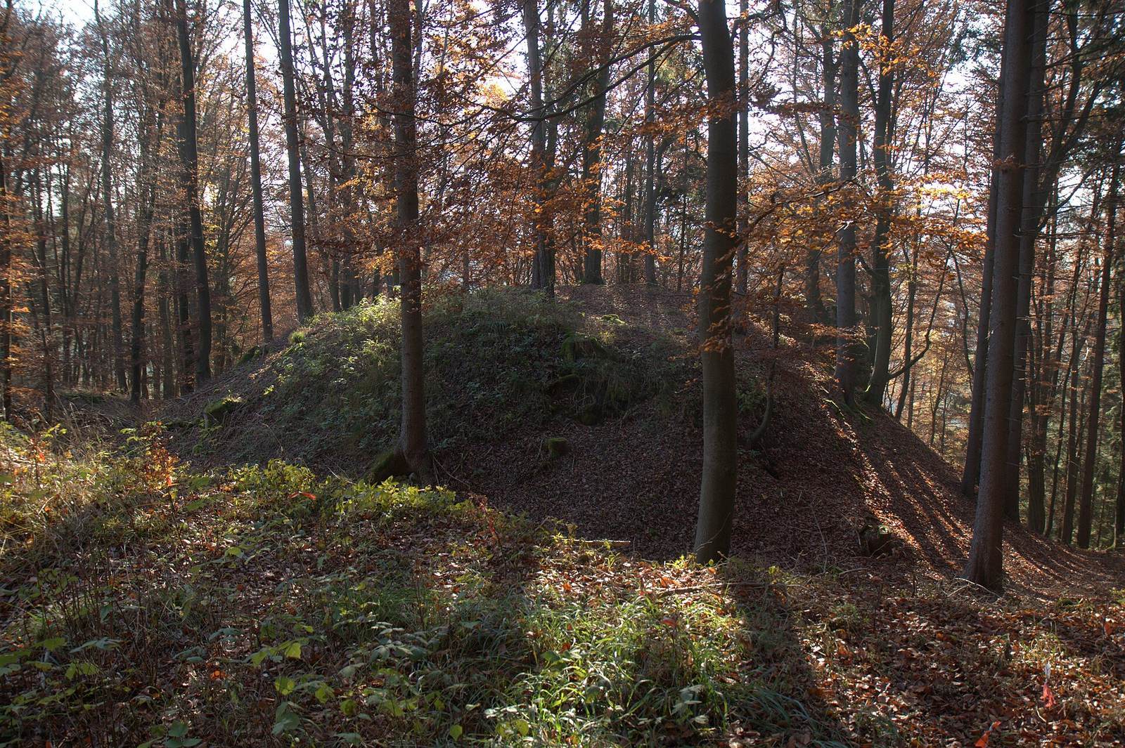
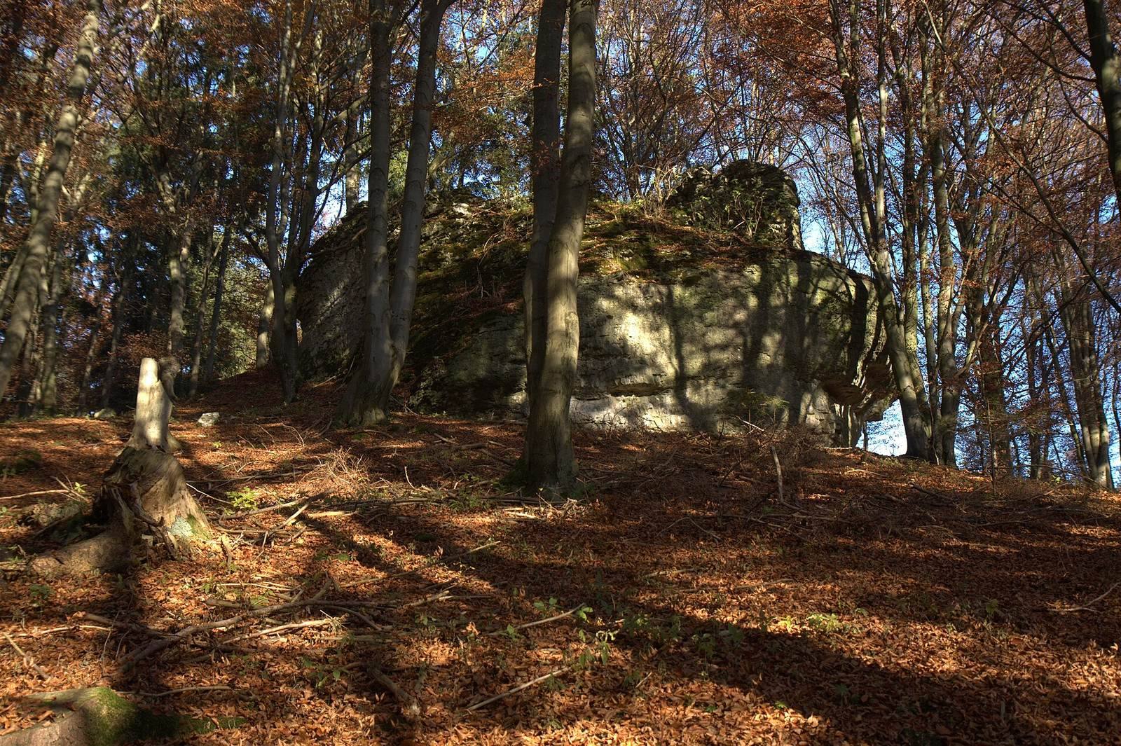
A semicircular, flat-bottomed ring ditch, about three metres deep, separates the castle mound from the slightly lower plateau. It curves from the southern slope around the mound to the northern slope, continuing a few metres down that side. The mound rises steeply above the ditch and ends on its west side in a roughly five-metre-high vertical rock face. Its relatively level top is elongated and rectangular. The castle probably consisted of a tower-like building. Immediately east of the ditch, a shallow, basin-shaped hollow may mark a building in a possible outer ward, a defended area outside the castle’s central enclosure; this interpretation is uncertain. The site is now densely wooded.