Ödes Schloss: A High Medieval Castle Site in Germany
Site at a Glance
- Popularity
- Very Low
- Country
- Germany
- Primary era
- Medieval
- Eras represented
- Medieval
- Civilizations
- Holy Roman Empire
- Site type
- Military
- Remains
- Castle
On this page10 sections
History
Ödes Schloss is a largely vanished castle site on the Nonnenberg ridge above Peuerling in Germany’s Franconian Alb. It was probably built in the High Middle Ages, the central centuries of medieval Europe, roughly the eleventh to thirteenth centuries. Its precise construction date, builder, and original name are unknown. The site is documented in 1642, and a proposed connection with the Lords of Prosberg has been rejected as untenable.
By the late thirteenth century, the castle was no longer mentioned. Around that time, the already-deserted hamlet of Nonnenberg and estates at Gersberg and Peuerling passed to Engelthal monastery, a medieval religious house in Franconia. Nonnenberg was recorded as deserted by 1312, and the castle appears to have had a brief existence.
Remains
Setting and plan
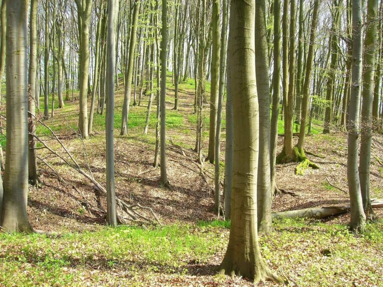
The castle stood on a terrace along the northeast-projecting ridge of Nonnenberg, also called Geierstein. The site is about 100 metres above Peuerling, at an elevation of 519 metres. Its wooded hilltop plan was triangular, roughly 75 metres long and up to 50 metres across, with a larger outer enclosure and a smaller one at the ridge’s tip. The northwest, east, and southeast sides descend steeply. To the southwest, the ridge rises toward Nonnenberg’s 579.2-metre summit, and a broad ditch was cut across the approach. Two ditches and foundation masonry from a tower-like building survive.
Outer enclosure
Approach ditch and defensive wall
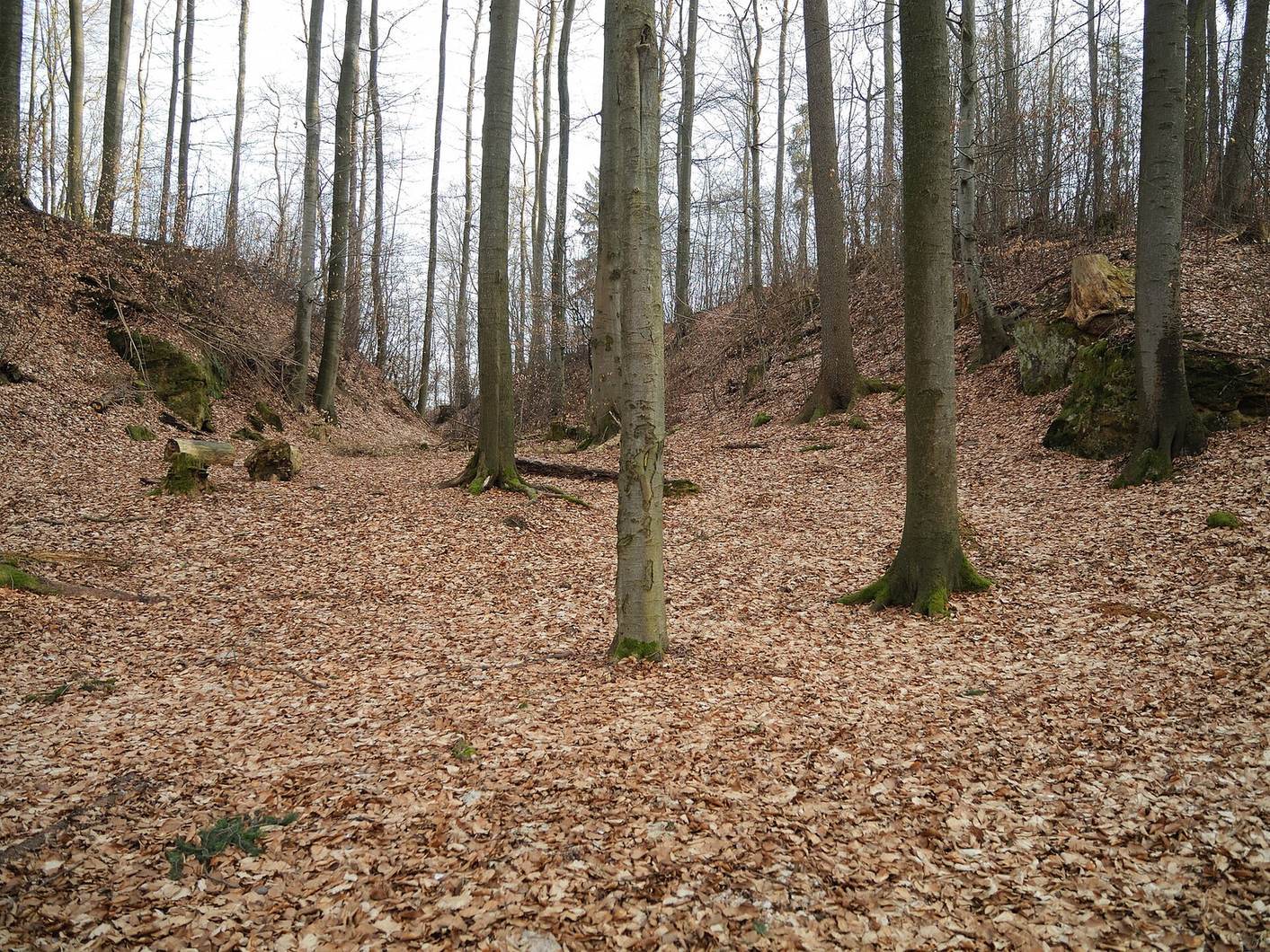
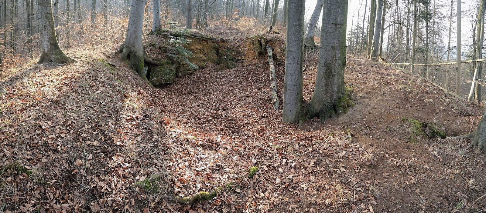
The roughly rectangular outer enclosure occupied the exposed side facing the approach. Its curved ditch, cut across the ridge, is about 70 metres long, around eight metres deep, 18 to 20 metres wide at the top, and about ten metres wide at the base. It was excavated in local sandstone associated with the Middle Jurassic; worked, near-vertical rock faces remain visible in places. Heaps of excavated material survive at both ends. The larger heap at the northwest end forms a small terrace and extends the ditch bottom by about ten metres. Flattened banks along the eastern side and beside the ditch probably mark the line of a former defensive wall.
Tower foundations
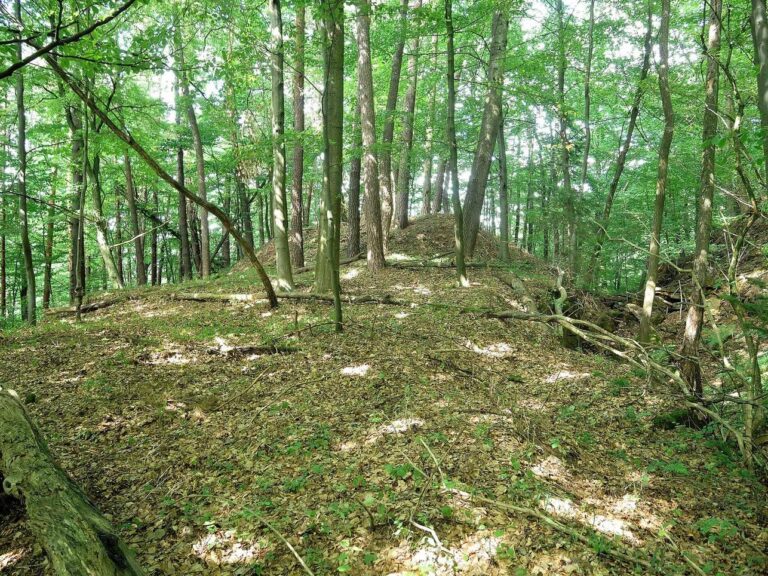
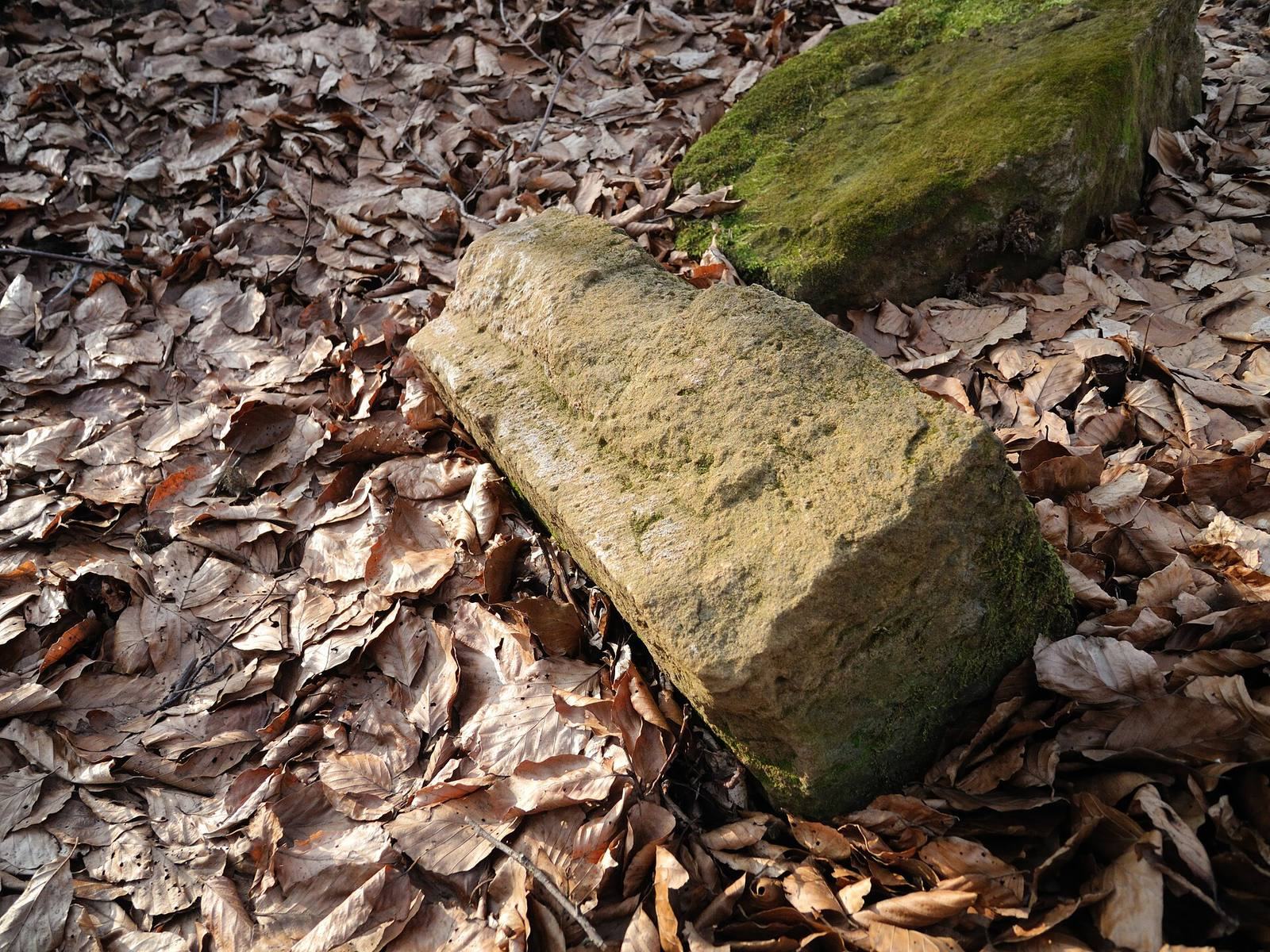
Near the middle of the outer enclosure’s exposed side are the foundations of a substantial, probably tower-shaped building, set a few metres behind the wall and ditch. The square structure measured about ten metres on each side, and a funnel-shaped hollow roughly 1.5 metres deep remains within it. Pieces of carefully dressed sandstone blocks lie at the site; the building’s core used rubble limestone, probably brought from the summit area of Nonnenberg. From this position, the tower could have defended the ditch, outer enclosure, and entrance to the inner one. Its use is uncertain: it may have been a residence or the castle’s principal defensive tower.
Inner enclosure
Dividing ditch and ridge shelf
A second, curved ditch separated the inner enclosure at the ridge tip from the outer one. It remains about 2.5 to 3 metres deep and 6.5 to 8 metres wide. A small heap of excavated earth and stone survives at its northern end, beside the steep north-facing slope. To the northeast of the inner enclosure, a shelf about two metres lower may have served as a level margin beside the slope, beyond which the ridge drops sharply.
Probable tower and water store
The inner enclosure is oval, with a maximum diameter of about 20 metres. A depression suggests that it held one substantial building, probably a rectangular tower of modest size. The hollow, a few metres across and about two metres deep, may have formed when the foundations were taken away for stone. A shallow depression to the southwest may mark a water cistern.
Approach route
The route entered across the outer ditch near its southeast end and crossed the outer enclosure diagonally. It then passed over the second ditch near the inner enclosure’s slightly projecting northern corner, probably ending in a courtyard within that enclosure.