Burgstall Lichtenroth: A Probable 13th-Century Castle Site in Germany
Site at a Glance
- Popularity
- Very Low
- Country
- Germany
- Primary era
- Medieval
- Eras represented
- Medieval
- Civilizations
- Holy Roman Empire
- Site type
- Military
- Remains
- Castle
History
Burgstall Lichtenroth is a former castle site in Germany. The castle was probably built in the 13th century, during the High Middle Ages. It may have been intended to protect the Upper Palatinate Iron Road, a regional route associated with the iron industry, or to serve as a clearing castle for the Bishopric of Regensburg, the territory governed by the bishop.
The castle was abandoned early and was called the “castle site at Lichtenrode” by 1297. Its original owner is uncertain; it may have belonged to Ulrich von Pyelnhof, probably a vassal of the Bishop of Regensburg and the Lords of Laaber, a medieval noble family. Jordan zu Murach held the castle until 1297, after which it passed to the nuns of the Cistercian convent at Pielenhofen. Cistercians followed a Western monastic order based on the Rule of St Benedict. The name Lichtenrode may refer to a clearing in Pielenhofen Forest, possibly made by the bishops of Regensburg.
A local legend about the “old house” on Henneberg also calls it the “old castle” or the “old castle by the burnt rocks.” It tells of a weeping woman in white who carried a key and beckoned to a girl bringing meals to woodcutters. Later, a man saw three women dressed as nuns around Christmas, then encountered another woman. At her instruction, he returned at noon and found a chest on a green patch, guarded by a black dog with fiery eyes and a key in its mouth. When he recoiled from taking the key, the chest sank with a crash, and the woman lamented that they would have to suffer as before.
Remains
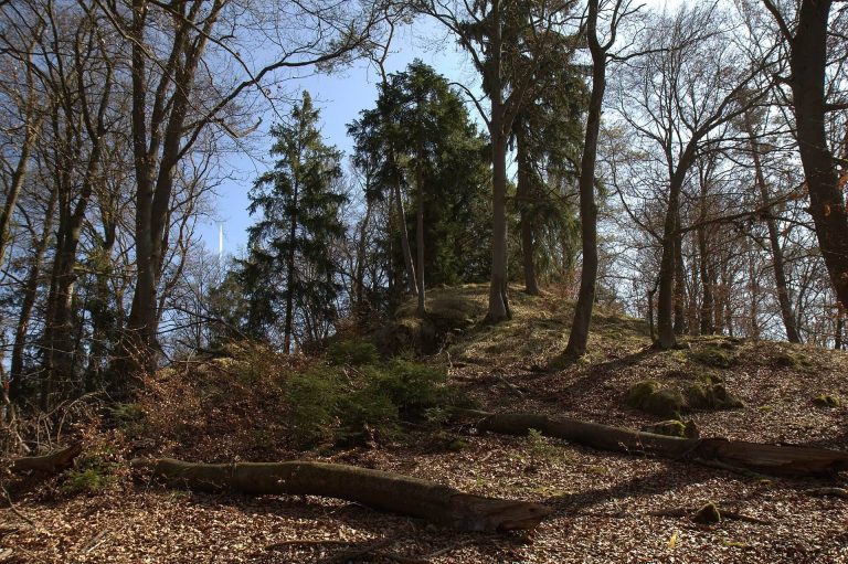
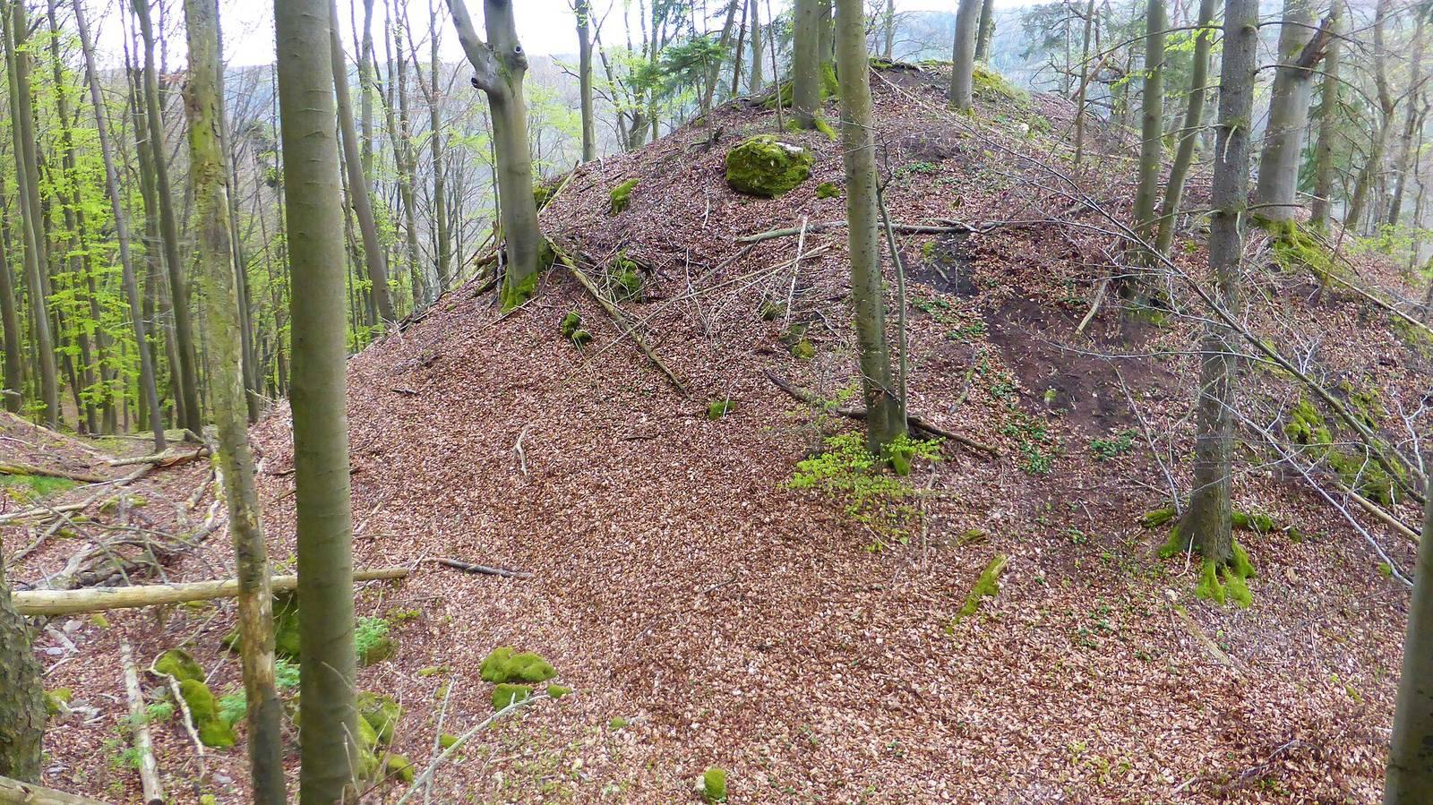
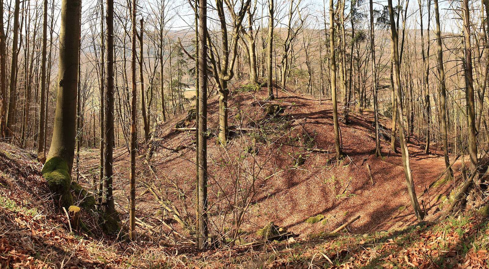
The former castle stood on a rocky ridge projecting into the Naab Valley, on its steep eastern slope between Duggendorf to the north and Pielenhofen to the south, roughly level with Oberfreiung. The site is about 485 metres above sea level and around 150 metres above the valley, approximately 2.62 kilometres north-northwest of the Cistercian convent at Pielenhofen. The castle buildings have largely disappeared, and the site is difficult to identify above ground. A very deep neck ditch, a defensive trench across a ridge, remains alongside a few decayed foundation traces, scattered rubble stones, and fragments of masonry.
A 16th-century map by Philipp Apian depicts the castle under a variant spelling of Lichtenroth. It shows a principal residential hall and a tower that was already partly dismantled. Southeast of the castle site, Friedrich Panzer identified the feature called Hüllgrane as Helgraben; Brentschlag is a field-name northeast of Engelsfels.