Burgstall Altes Schloss: A Medieval Castle Site in Bavaria
Site at a Glance
- Popularity
- Very Low
- Country
- Germany
- Primary era
- Medieval
- Eras represented
- Medieval
- Civilizations
- Holy Roman Empire
- Site type
- Military
- Remains
- Castle
On this page7 sections
History
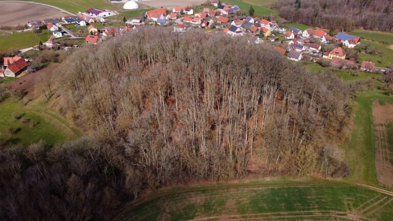
Burgstall Altes Schloss is a former castle site on the Endseer Berg, northwest of Endsee in present-day Steinsfeld, Bavaria, Germany. Established around 1100, it succeeded an earlier mound castle west of the settlement. The Lords of Endsee first appear in the historical record in 1115, around the time the new castle was founded.
From Endsee to Rothenburg
Probably in the late 1220s, Albert II of Endsee sold the castle to the Bishop of Würzburg and received it back as a fief, land held under a lord’s authority. In 1231, the Bishopric of Würzburg, an ecclesiastical territory governed by its bishop, and the Lords of Endsee agreed to divide control of the castle’s separate areas. By Albert’s death in 1239, the bishopric held the entire castle.
Before 1261, the Counts of Hohenlohe, members of a German noble house, acquired the castle by an unclear route. They first pledged it to Windsheim, then sold it in 1387 to Rothenburg, an imperial city directly subject to the Holy Roman Emperor rather than a local territorial lord.
Capture and dismantling
In 1407, Nuremberg’s burgraves Frederick and John, territorial officials associated with castles and their districts, joined the Bishop of Würzburg in capturing the castle during a dispute over Rothenburg’s territorial policies. The castle at Endsee then passed to Burgrave John. In 1408, King Rupert of the Palatinate ordered the castles returned to Rothenburg and their defenses dismantled. Rothenburg carried out the order.
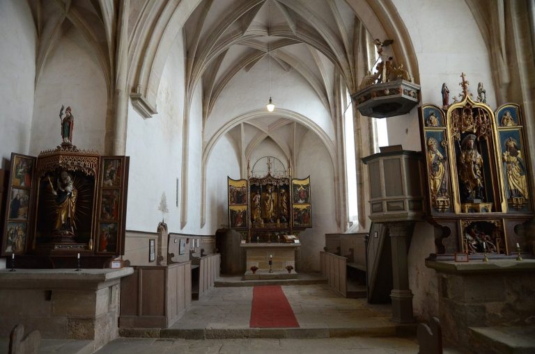
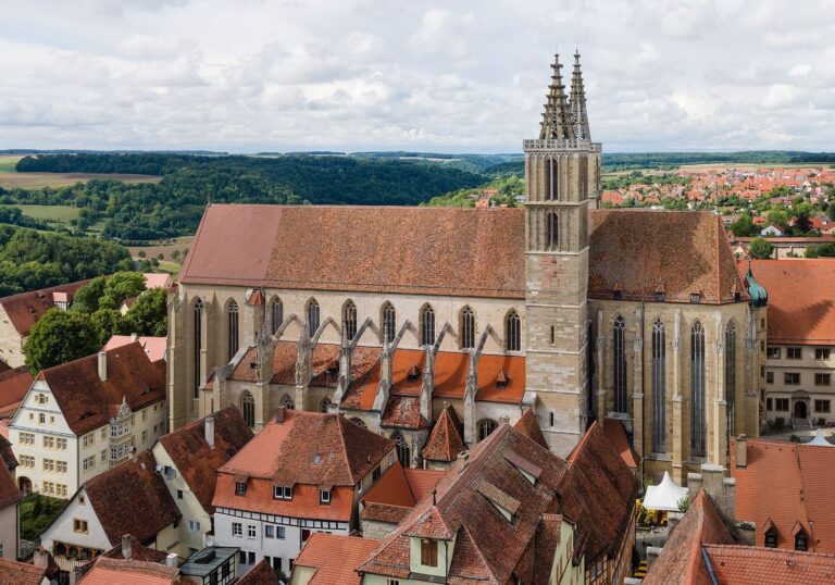
The castle chapel was still mentioned in 1414. Its stone blocks were said to have been reused in St. James’s Church in Rothenburg.
Remains
The castle occupied the northeastern spur of the 471-metre-high Endseer Berg. A spur castle stands on a projecting ridge; this three-part complex comprised a principal fortified area, called the core castle, a small western outer ward, or enclosed area beyond the core, and a larger outer ward to the northeast that extended down the slope. The complex measured about 440 metres from west to east and 120 to 230 metres from north to south. Its buildings used dressed stone and bossed ashlar, blocks with projecting outer faces.
Defences and outer wards
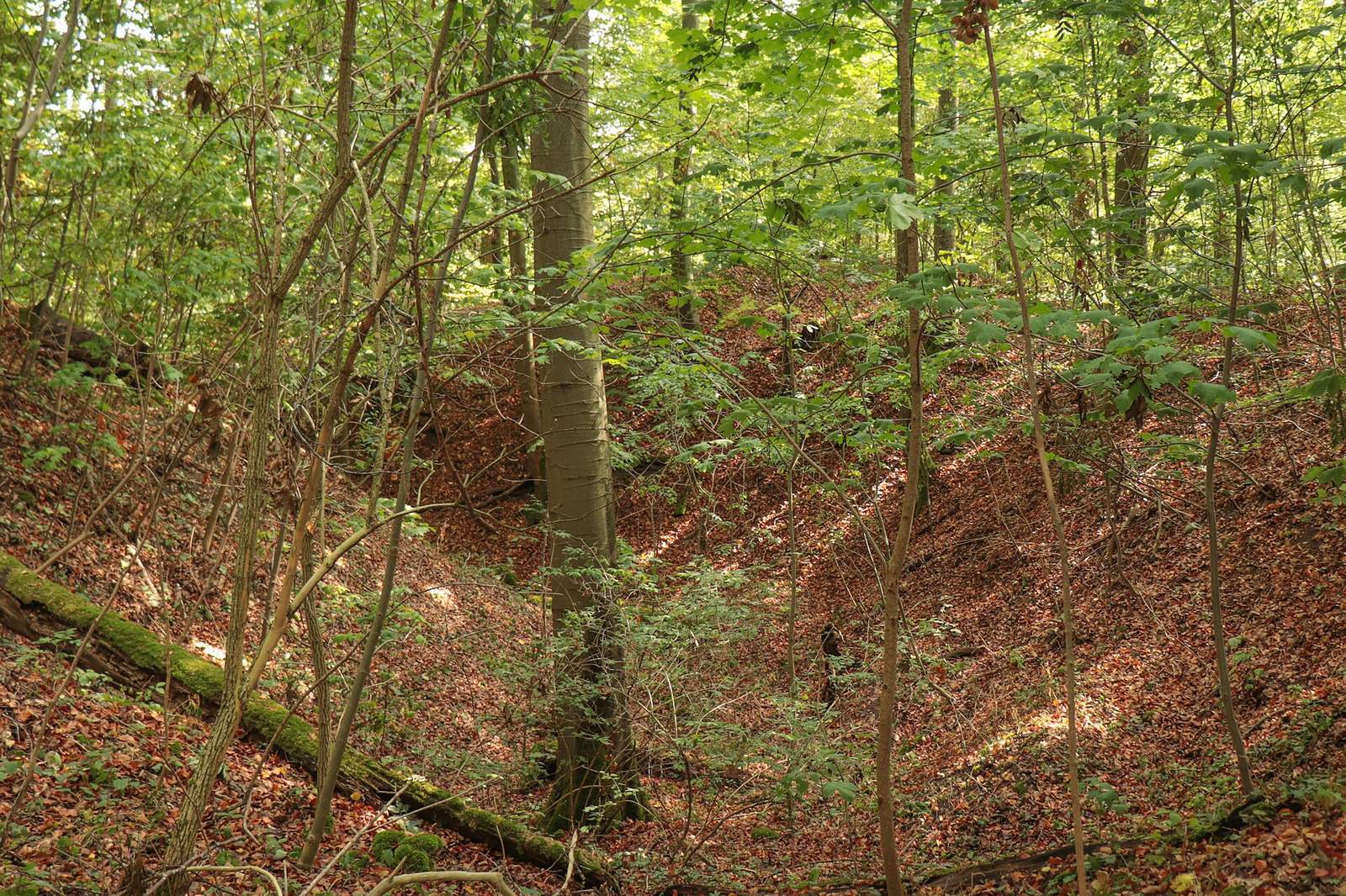
A neck ditch, cut across high ground to separate a fortification from the adjoining plateau, defended the site to the west and south. It measured 22 metres across and 6 to 8 metres deep. A second ditch, 20 metres farther inward, enclosed the core castle; it was 20 metres wide and 6 to 7 metres deep. Earth dug from the two large ditches formed debris slopes on the northwest side, where smaller earth banks and ditches further obstructed approach. Defenses around the larger outer ward began at the middle of the core castle’s north side and at its southeast corner. This enclosed area measured up to about 180 by 170 metres.
Core castle
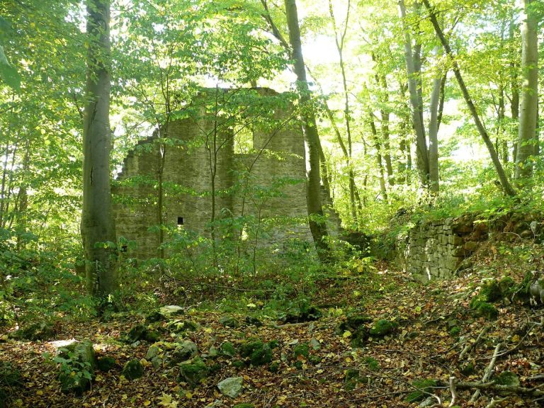
The core castle measured about 85 by 45 metres. A deep ditch surrounded it, with excavated earth piled into an outer bank. Its enclosing wall survives only as a raised edge. A 1231 document describes two towers with attached stone houses and heated chambers, as well as a large hall beside a tower that had a grain-storage floor and cellar. Foundations of an octagonal keep, the principal fortified tower, are visible midway along the core castle’s western side. Built of bossed ashlar, it was about 11 metres in diameter. Stone removal has also left furrows across the plateau.
Well
A shaft built of dressed stone lies south of the core castle.