Burgberg Zschaitz: A Prehistoric and Early Medieval Hillfort in Germany


Site at a Glance
- Rating
- 4.5
- Popularity
- Very Low
- Country
- Germany
- Primary era
- Medieval
- Eras represented
- Stone Age, Medieval
- Civilizations
- Unclassified
- Site type
- Military
- Remains
- Fort
On this page7 sections
History
Burgberg Zschaitz is a prehistoric and early medieval hillfort in Germany, fortified between approximately AD 800 and 950 and broadly dated to before AD 928. It is regarded as one of the important prehistoric and early medieval hillforts in central Saxony. The site occupies a porphyry spur above the Jahna valley, a setting that shaped its defensive form and regional importance.
Prehistoric and Early Medieval Phases
Archaeological work has revealed evidence from several periods before the hillfort’s medieval development. Excavations in 2009 found pottery fragments from the Late Bronze Age and Iron Age, together with pit houses associated with the Gatersleben culture, a Neolithic culture dating to approximately the fifth millennium BC. These discoveries show that the hill was used long before the early medieval fortifications were built.
The fortification belonged to the period of the Ottonian realm, the medieval German kingdom ruled by the Saxon Ottonian dynasty from the tenth to the early eleventh century. Zschaitz was first recorded on 2 July 1046 as castellum nomine Zavviza. The associated Burgward was an early medieval administrative and military district centered on a fortified settlement. Such districts also supported regional administration and the spread of Christianity. Zschaitz was described as an early mother church, while the village church on another elevation is probably older than its first documentary mention in 1180 and does not stand on Burgberg Zschaitz.
Documentary Context and Historical Debate
The village remained in the possession of the Meissen cathedral chapter until the nineteenth century. The relationship between the documented Burgward and the hillfort remains uncertain. Churches could serve strategic purposes during the Christianization of the pagan Wends, and the medieval Burgward referred to in documents may therefore have occupied a different location. A Burgward at nearby Schrebitz during the same period, along with the absence of eleventh-century pottery at Zschaitz, supports that possibility.
The hillfort has also been proposed as Gana, the principal fortress of the Wends that the Saxon chronicler Widukind of Corvey said King Henry I captured during the winter of AD 928 to 929. This identification remains under discussion. Arguments against it include the lack of a natural water supply, the perceived difficulty of explaining how Gana would have acquired the Slavic name Zavviza only 115 years later, and the hillfort’s apparently limited military position in relation to the Wendish central sanctuary of Glomaci.
Excavations by the Saxon State Office for Archaeology in 2009 exposed numerous medieval archaeological features and added prehistoric evidence to the understanding of the site. Intensive agriculture has since affected the monument through mechanical displacement and soil erosion caused by ploughing. The hillfort is designated an archaeological monument.
Remains
Hilltop Setting and Defenses
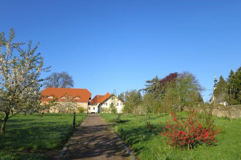
Burgberg Zschaitz lies at an elevation of 141 metres above sea level on a prominent porphyry spur, a hard volcanic rock with larger crystals in a finer-grained matrix. The Jahna flows around the steep western, southern, and northern slopes. Naturally narrow points on the plateau were reinforced with several cross-ramparts, whose preservation varies across the site. The outer rampart has disappeared completely on the northern side as a result of agricultural disturbance and erosion.
Main Rampart
The principal rampart survives at approximately 3 metres high. It was built as a double-shell timber-box fortification, formed by two wooden structural faces with a filled space between them. The structure was about 8 metres wide and was packed with loess, a fine wind-deposited sediment. A ditch approximately 6 metres wide lay in front of the rampart.
Outer Ditch Systems
Magnetic surveying carried out during the 2009 excavation identified three additional outer ditch systems. Together with the cross-ramparts and the main ditch, these features define a layered defensive arrangement across the plateau and its naturally protected approaches.
Nearby sites