Burg Wildenstein (Horgen): A Medieval Spur Castle in Germany


Site at a Glance
- Rating
- 4
- Popularity
- Very Low
- Country
- Germany
- Primary era
- Medieval
- Eras represented
- Medieval
- Civilizations
- Holy Roman Empire
- Site type
- Military
- Remains
- Castle
On this page12 sections
History
Burg Wildenstein (Horgen) is a medieval spur castle in Germany, built during the thirteenth century with its beginnings dating to around 1200. It occupies a naturally defensible rocky ridge above the Eschach Valley near Horgen, in the municipality of Zimmern ob Rottweil. Ceramic sherds indicate that the site may have held a prehistoric hilltop settlement during the Urnfield or Hallstatt period, two central European archaeological periods associated respectively with cremation burials in urns and the early Iron Age.
A strategic medieval fortress
Wildenstein stood opposite Burg Rotenstein, also known as Burg Oberrotenstein, and the two castles monitored a section of the road between Rottweil and Villingen where it crossed the Eschach. The castle was probably a ministerial fortress of the Lords of Lupfen. A ministerial was a medieval service noble who performed administrative or military duties for a higher lord, often while holding a dependent legal status.
Aigelwart von Falkenstein, a member of the family based at the castle, is first mentioned in 1315. In 1399, the nobleman Balthasar von Kirneck held Wildenstein as a fief. In 1466, Count Heinrich von Lupfen enfeoffed St. George’s Abbey with the destroyed castle, then described as a castle site, together with its farm.
Destruction and later history
Wildenstein remained in ruins during the sixteenth century. The 1564 Rottweil Pürschgericht map marked it as a ruin, while Burg Oberrotenstein on the opposite bank of the Eschach was still intact. The site was presumably in the possession of the Lords of Falkenstein before becoming the property of the Birk-Rapp family in 1779. In 1912, the castle researcher K. A. Koch excavated its remains.
Remains
The ruin stands at approximately 625 metres above sea level on a long, steep-sided rocky spur surrounded by the Eschach on three sides. This type of isolated promontory, known as an Umlaufberg, is enclosed by a river and connected to the surrounding plateau by a narrow neck. Access to Wildenstein was possible only from the west. Four ditches cut across the entire spur and divided the site into a core castle at the western end and two outer wards extending eastward toward the tip.
The core castle
Square tower
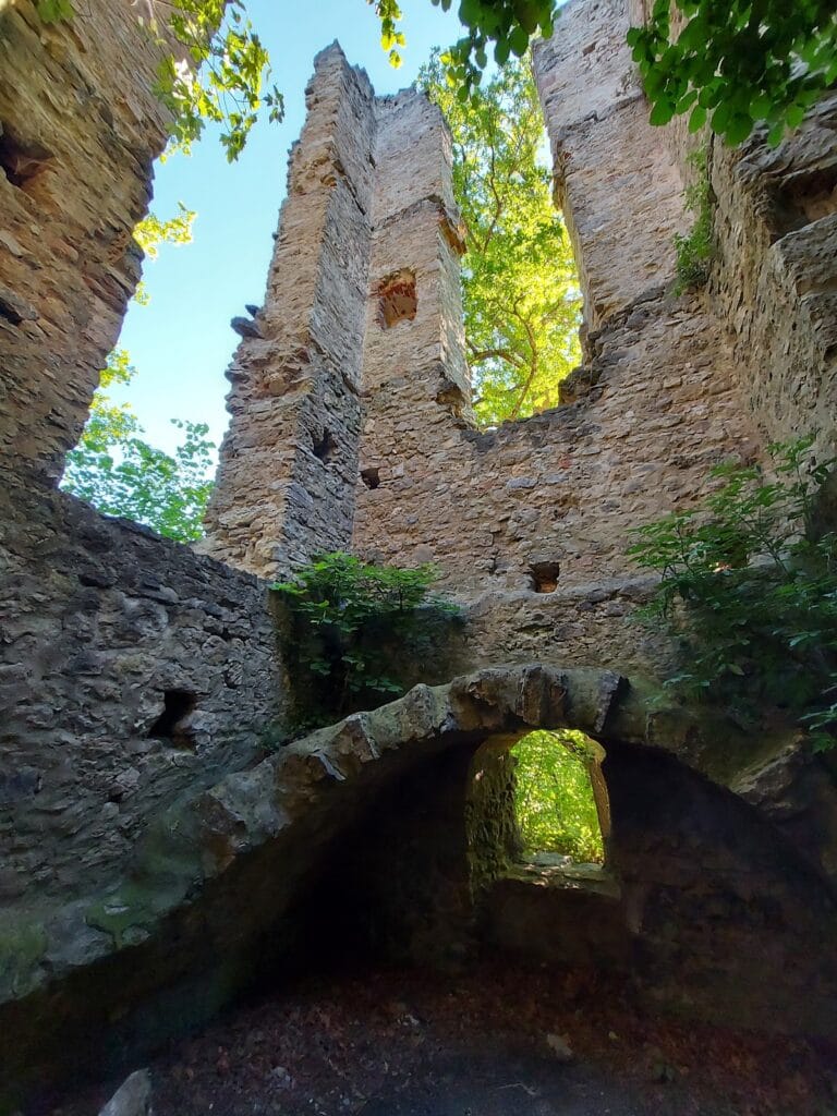
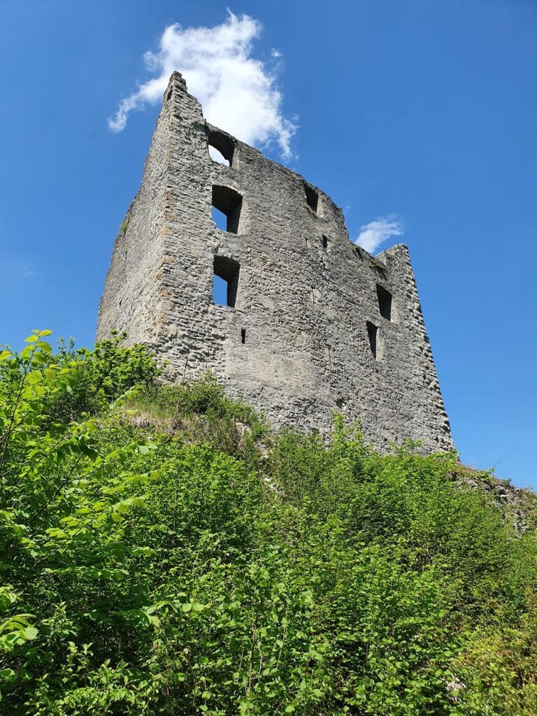
Parts of a square tower survive in the northwestern corner of the core castle, directly above a deep ditch. The tower measured 11.5 by 11.5 metres, with walls 3.7 metres thick and an interior usable space of approximately 7 by 7 metres. Its size and position indicate that it probably served as a residential tower.
Residential building
Another building adjoined the tower on its eastern side. It was probably the former palas, the principal residential and representative building of a medieval castle. Together with the tower, it formed the principal built group within the core area.
Courtyard and ring wall
The southern part of the core castle formed a courtyard enclosed by the enceinte, or ring wall. A cistern stood within this courtyard, providing a water facility inside the enclosed area. Parts of the ring wall remain among the surviving structures.
Outer wards and defensive areas
Defensive enclosure
The eastern side of the core castle probably functioned as a separately walled zwinger, an outer defensive enclosure between defensive lines. Its entrance was reached through a gatehouse, adding a controlled approach between the core castle and the outer parts of the site.
Service area
The middle section of the spur probably contained a service or economic building. Palisades protected this area, which occupied the central position between the core castle and the easternmost section.
Watchtower position
The easternmost section may have carried a watchtower. From this elevated position, the floodplains of the Eschach Valley could be surveyed. Its possible location completed the sequence of defended areas extending from the western plateau toward the tip of the rocky spur.
Nearby sites