Burg Neublankenheim: A Medieval Hilltop Castle Ruin in Germany


Site at a Glance
- Rating
- 4.5
- Popularity
- Low
- Country
- Germany
- Primary era
- Medieval
- Eras represented
- Medieval
- Civilizations
- Holy Roman Empire
- Site type
- Military
- Remains
- Castle
On this page8 sections
History
Burg Neublankenheim is a medieval hilltop castle ruin near Üxheim in Germany, built during the medieval period on elevated ground in the Eifel. Its origins remain uncertain, since no excavations have yet taken place and some documentary references may have been confused with those of Burg Blankenheim. A donation charter from 1272 is sometimes treated as the castle’s first mention, but that identification is disputed. The earliest generally accepted reference appears in a 1341 charter, when Margrave Wilhelm I of Jülich granted Gerhard V of Blankenheim “his new castle Blankenheym” as an hereditary fief. A fief was property granted by a feudal lord in return for service and allegiance, while an hereditary fief could pass within the holder’s family under the terms of the grant.
Blankenheim and Mirbach ownership
After 1341, Burg Neublankenheim remained predominantly a possession of the Lords of Blankenheim. Among those who administered it was Friedrich of Blankenheim. The castle later passed through repeated changes of ownership and inheritance disputes. By 1470, the County of Blankenheim had come to Count Dietrich III of Manderscheid, while the castle itself had meanwhile been transferred to the Lords of Mirbach.
In 1521, Dietrich of Mirbach described the castle as destroyed and requested help rebuilding it from his feudal lord, Count Johann of Manderscheid. The reconstruction apparently never took place. Its remote position may have reduced its remaining strategic value, although the evidence does not establish this explanation conclusively. The castle therefore continued as a ruin rather than being restored to use.
From ducal property to protected ruin
Around 1770, Duke Karl Maria Raimund of Arenberg acquired the surrounding lands and the castle ruin, incorporating the property into the Duchy of Arenberg. French Revolutionary troops occupied territories west of the Rhine in 1794. Under the Treaty of Lunéville, concluded in 1801, major territorial changes involving France and the Holy Roman Empire were formalized, including the transfer of certain possessions west of the Rhine to France. Burg Neublankenheim was subsequently auctioned and became privately owned. The property is now owned by the Vulkaneifel district, formerly the Daun district.
Between 2004 and 2006, extensive conservation work was undertaken solely to protect the surviving masonry from further deterioration. The measures did not reconstruct the castle. Burg Neublankenheim is protected as a cultural monument under monument-conservation law. It is neither inhabited nor used commercially. A local legend adds a romantic element to the ruin, telling of the unhappy love between a young count’s daughter and a poor servant.
Remains
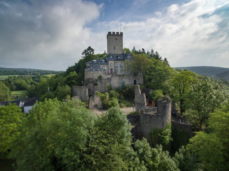
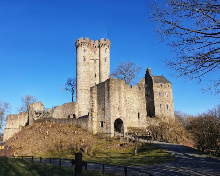
The ruin stands in the Kalkeifel, a natural subregion of the northern Eifel, on a rise approximately 355 metres above Germany’s standard height datum, or NHN, and about 20 metres above the valley floor. It lies roughly 150 metres south of the North Rhine-Westphalia border, about 2 kilometres north of Ahütte in the municipality of Üxheim, near the boundary with Nohn. The Ahbach runs a few metres to the east. The castle complex has an approximately rectangular plan, measuring about 40 by 20 metres, while a moat on the north separates the castle area from the rest of the ridge.
Enclosing walls and interior remains
Outer walls
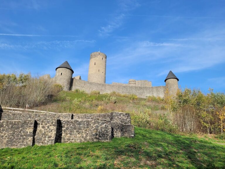
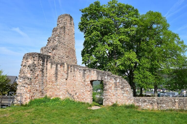
The enclosing walls on the west, south, and east survive to several storeys. They are built of rubble stone, meaning irregular stones generally set in mortar rather than precisely cut masonry. Except for the more massive south wall, they average about 2 metres in thickness. Numerous window openings and loopholes remain in the masonry, together with a notably large arched opening in the south wall. Beam sockets and remnants of the original plaster preserve evidence of the former internal construction and finished surfaces.
Interior wall pier
A freestanding wall pier rises several metres in the northern part of the complex. It is considered to be the surviving remnant of an interior wall and stands within the wider arrangement formed by the enclosing walls and northern moat.
The southwestern keep
The most prominent surviving structure is the keep at the southwestern corner. It rises approximately 24 metres, measures about 5.5 metres in diameter, and has walls about 1.5 metres thick. Its plan is unusual: it forms an approximate semicircle, with a straight side facing the interior of the castle. The adjoining southern wall is about 3 metres thick, making it the thickest wall in the complex. The keep and the surrounding masonry remain in a ruined, rather than reconstructed, condition.