Burg Neu-Tannegg: A Ruined Medieval Castle Above the Wutach Gorge


Site at a Glance
- Rating
- 4.3
- Popularity
- Very Low
- Country
- Germany
- Primary era
- Medieval
- Eras represented
- Medieval
- Civilizations
- Holy Roman Empire
- Site type
- Military
- Remains
- Castle
On this page7 sections
History
Burg Neu-Tannegg, also called Burg Boll, is a ruined medieval noble castle in Germany, near Bonndorf in Baden-Württemberg. Its construction probably took place after 1200, and the castle was likely built by the Lords of Boll, a lineage recorded around 1160 as ministeriales, or dependent noble officials serving the Barons of Krenkingen. The complex probably helped control the important Dietfurt ford across the Wutach.
Origins and changing names
It remains uncertain whether the name Burg Boll originally referred to an earlier castle on the site or to Neu-Tannegg itself. A nearby castle called Tannegg was later distinguished as Burg Alt-Tannegg, while this complex became known as Neu-Tannegg. In the mid-thirteenth century, the castle passed to the Lords of Tannegg. In 1294, it came to the Lords of Blumberg, who transferred it to their relatives, the Lords of Blumegg.
Later medieval history
Egloff von Wolfurt purchased the complex in 1366. It later belonged to the Lords of Rechberg, but around 1400 a landslide destroyed the northern part of the castle. From 1460 onward, Neu-Tannegg was consistently described as a Burgstall, a former castle site whose buildings had become ruined or had largely disappeared. Count Johann von Lupfen acquired the castle in 1467, by which time its role as a functioning fortified residence had ended.
The ruin in historical imagery
In 1829, the lithographer Godefroy Engelmann produced an image of the castle based on a drawing by Maximilian von Ring. The work preserves a nineteenth-century record of the ruined complex after its medieval decline.
Remains
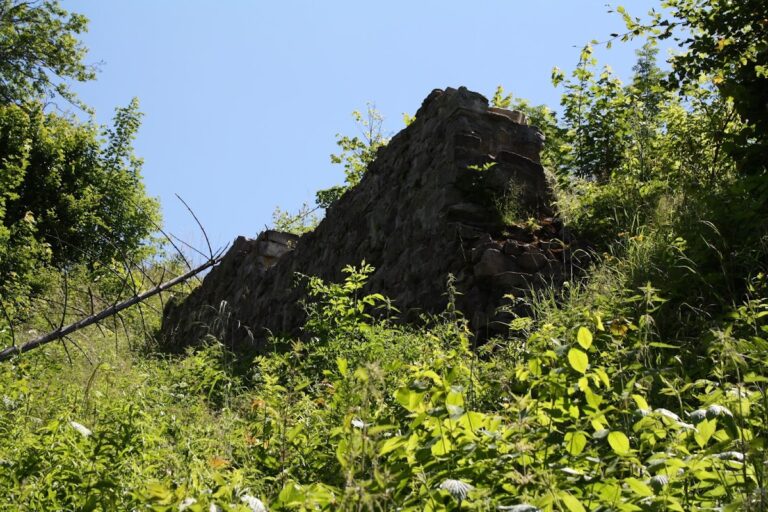
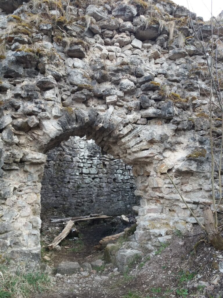
Burg Neu-Tannegg occupies a hilltop spur at approximately 695 metres above sea level, on a mountain ridge above the Wutach Gorge near Boll. The castle plateau extends toward the rocky spur, while a neck ditch cuts across the approach from the higher ground of the mountain slope. The surviving remains consist of parts of the enclosing walls, the southern side of the principal residential building, known as the palas, and the damaged northern edge created by the landslide.
Southern palas and approach
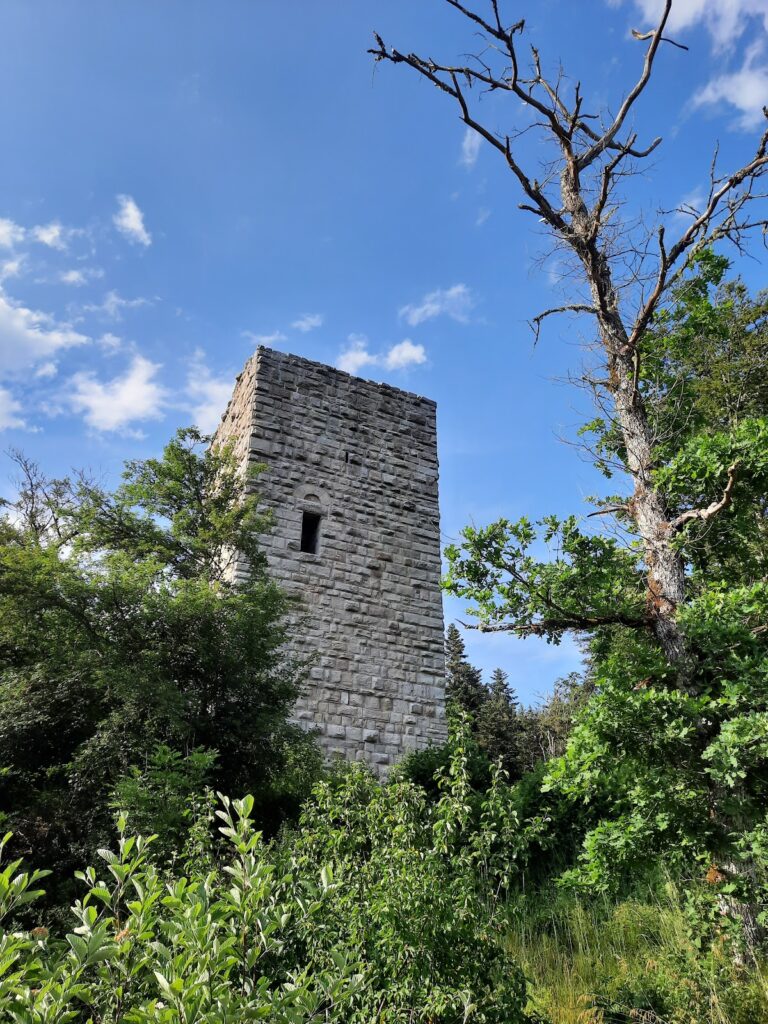
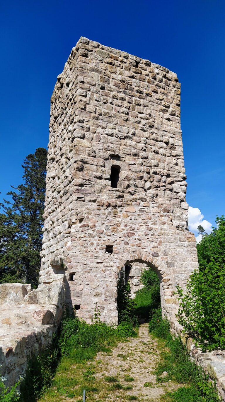
The southern palas wall stands on the narrow approach to the castle plateau. Its interior face contains loopholes and a presumed entrance. The outer face can be seen from the path leading toward the Wutach Gorge, while the wall’s western corner remains visible as part of the surviving ruin. The northern side of the complex ends at the landslide-damaged break-off edge, where the destruction around 1400 removed the northern section.
Enclosing walls and plateau
Sections of the ring wall survive on the eastern part of the castle plateau. Together with the neck ditch and the southern palas wall, these remains show how the castle occupied and defended the narrow spur. The ruin is structurally unstable and is currently closed because of the danger of collapse.
Nearby sites