Burg Dürnstein: A High-Medieval Border Fortress in Austria
Site at a Glance
- Rating
- 4.5
- Popularity
- Low
- Country
- Austria
- Primary era
- Medieval
- Eras represented
- Medieval, Early Modern
- Civilizations
- Duchy of Styria, Holy Roman Empire
- Site type
- Military
- Remains
- Castle
On this page13 sections
History
Burg Dürnstein is a high-medieval hill castle and former border fortress near Dürnstein in Styria, Austria. The castle was built under the dukes of Carinthia around 1100–1200 in a strategically important position on the shifting border between Styria and Carinthia. It occupied land formerly associated with the Eppensteins, a medieval ruling dynasty linked with Carinthia and neighboring territories.
Foundation and the Dürnsteiner dynasty
Burg Dürnstein was first mentioned in 1144 as castrum Dierenstein. Margrave Leopold I of Styria, a twelfth-century ruler of the region, granted the castle to a ministerial, a medieval administrative and military servant who held land or a castle in return for service. His family became known as the Dürnsteiner dynasty, but that line died out in 1192.
After the Dürnsteiner family ended, the castle passed to the Wildoners. The branch of that noble family based at Dürnstein adopted the castle’s name. The Styrian territorial rulers acquired Burg Dürnstein in 1299 and kept it until 1608, assigning it to different dependants during that period.
Border control and military defense
The castle controlled the route formerly called the “Italian Main Road.” A border customs station operated below it between Styria and Carinthia, giving the fortress an administrative and defensive role as well as a strong position above the valley.
Burg Dürnstein resisted attacks by Hungarian forces and by Turkish forces in the late fifteenth century. Around 1500, a water supply system was installed, an improvement that supported the castle during its later period of use.
Decline and later history
The castle began to decline from the end of the sixteenth century and was abandoned in 1610. Its owner at the time, Bishop Hans Jakob von Gurk, showed little interest in the site beyond its forests. In 1809, Austrian troops used the ruins as cover against the advancing French army.
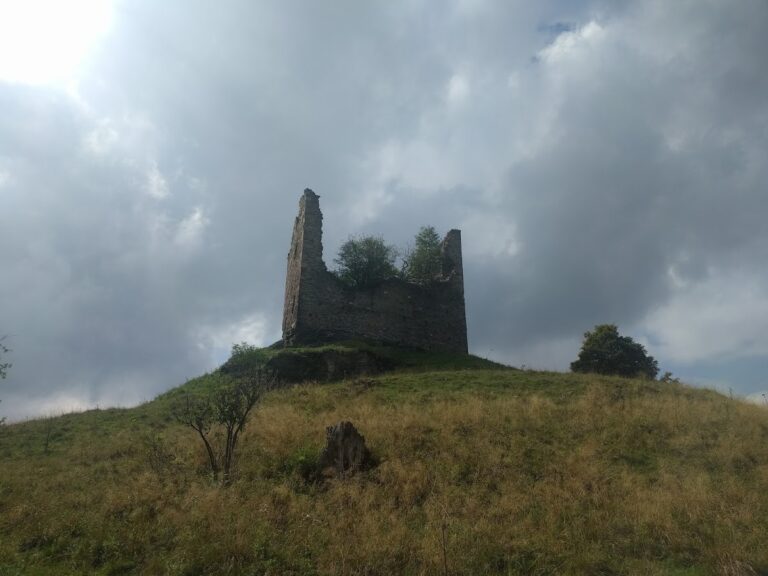
During the mid-nineteenth century, the Diocese of Gurk, the regional ecclesiastical jurisdiction, gave the ruins to the municipality of Dürnstein. Burg Dürnstein remains a ruin and is recognized as a cultural heritage monument.
Remains
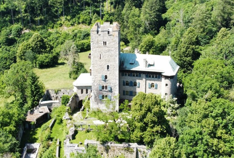
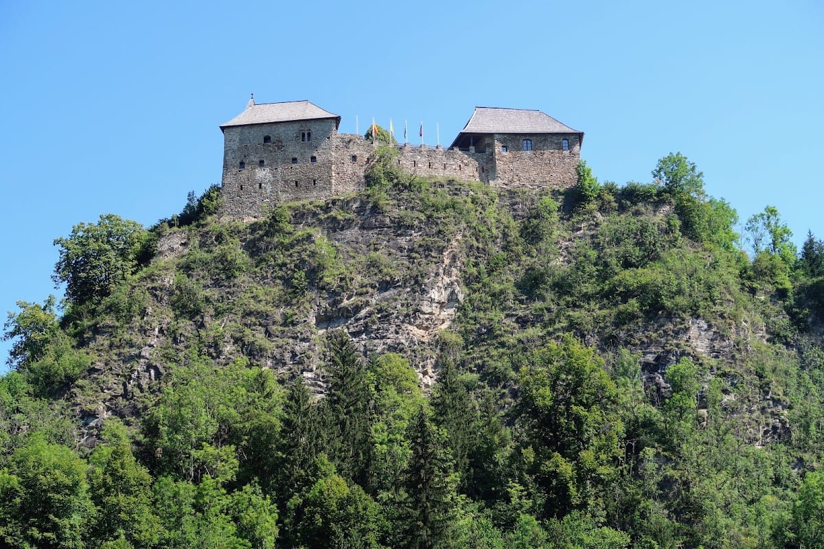
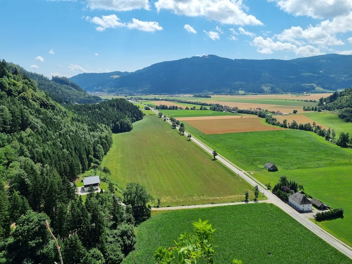
Burg Dürnstein occupies a rocky spur extending southwest from the Alpl-Kogel. The ridge narrows near the former Styria–Carinthia border, while steep or nearly vertical slopes fall south, west, and north toward the narrowing Olsa valley. The castle stands about 100 metres above the valley floor. Its surviving structures are built mainly of rubble stone masonry, and the site uses the natural strength of the spur as part of its defenses.
Approaches and entrance defenses
Northern round tower
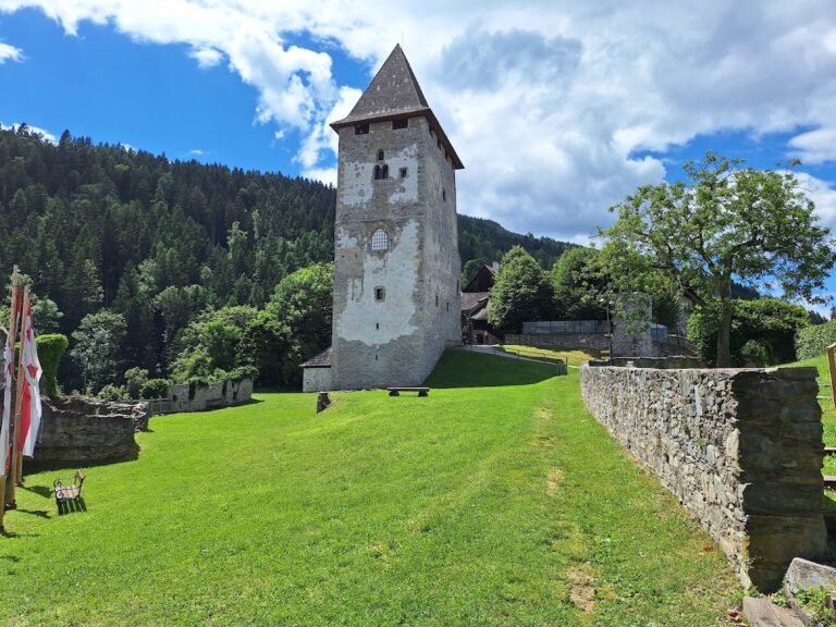
A round tower stands on the northern approach, with a projecting pointed feature. Its lower section is made of rubble masonry that resembles ashlar masonry and probably dates from the thirteenth century. This lower part is among the oldest surviving elements of Burg Dürnstein.
Southern approach and outer defense
The southern approach is bordered on its western side by a zwinger, an outer defensive space between or outside fortified walls. Much of its horizontally laid rubble masonry is attributed to the fourteenth century. Other sections use ashlar-like masonry and opus spicatum, a herringbone pattern made by laying stones at alternating angles, and date from the twelfth or thirteenth century.
Gate and gate hall
After the approach turns westward, it reaches a reconstructed gate beside the northern end of the east range. The gate opens into a gate hall preserved in its original condition. The hall has a groin vault, formed where two curved ceilings intersect.
Castle ranges and courtyard
East range
The east range follows a north–south axis. Its lower masonry includes horizontally laid rubble stone associated with the castle’s construction period, while the upper storey appears almost recent in comparison with the older fabric.
West range
The west range stands beside the precipitous slope on the southwest side of the site and dates from the period of the round tower. Its somewhat later western wall contains a row of closely spaced arrow slits measuring 1.7 metres in height.
Courtyard and enclosing walls
A spacious courtyard extends between the east and west ranges. Along the northern cliff edge, a curtain wall, a wall enclosing a fortified area, bounds the courtyard and contains elongated arrow slits. A later connecting range joins the east and west ranges and closes the courtyard on the south.