Bridge of Grand-Arvou: A Medieval Irrigation Aqueduct in Aosta
Site at a Glance
- Popularity
- Medium
- Country
- Italy
- Primary era
- Medieval
- Eras represented
- Medieval
- Civilizations
- Holy Roman Empire
- Site type
- Infrastructure
- Remains
- Aqueduct
On this page9 sections
History
The Bridge of Grand-Arvou is an arched masonry aqueduct in Porossan, Aosta, Italy, probably built between about 1288 and 1300 to carry the Rû Prévôt, an irrigation canal in the Aosta Valley, across the Parléaz torrent. It served a major medieval water-management system. Canal building expanded in the region between the thirteenth and fifteenth centuries as drought and the growth of mountain pastures increased demand for water. Roman-period works, including Pont d’Aël at Aymavilles, built in 3 BC, provide an earlier regional precedent.
Canal construction and operation
Henry of Quart, provost of Aosta Cathedral, initiated the Rû Prévôt. A provost was a senior cleric with administrative duties in a cathedral institution. Documents from 1306 and 1307 show that the canal was operating by then. In his 1317 will, Henry left his nephews the watercourse and its revenues.
A proposed identification of the Rû Prévôt with a “New Canal” mentioned in a 1284 property-boundary document remains uncertain; the canal in that document may instead have been the Rû Baudin. The proposal also differs from the chronology of eighteenth-century Aosta Valley historian Jean-Baptiste de Tillier, who considered the Rû Prévôt later than the canalization of the Buthier.
The canal drew water from the Buthier at Pont de Baatse. Its stated flow was 400 litres per second, and it supplied irrigation to about 225 hectares across Roisan, Aosta, Saint-Christophe, and Quart.
Maintenance and later changes
Henry was initially responsible for maintaining the aqueduct bridge and hired specialists for this demanding work. Villagers with water rights provided customary labour on the rest of the canal. By the first half of the sixteenth century, the watercourse was in poor repair and its flow had become low and intermittent. A castellan then supervised maintenance, financed through a levy paid by villagers to the Duke of Savoy, whose dynasty ruled Savoy and surrounding territories. In 1528, users surrendered their water rights rather than continue paying the annual charge, and the duke chose to address the problem.
In 1701, local nobleman Charles Philibert Perron, Count and Baron of Quart, introduced new management rules. The canal’s poor state was limiting irrigation and prompting objections to the levy. The rules assigned water wardens to sections of the system and appointed managers to inspect its course, organize repairs, and supervise the work.
In recent decades, urban development on former farmland has led to about 11.9 kilometres of the canal’s 12-kilometre length being enclosed in pipes; some stretches have also served as a base for roads. The Grand Arvou is now the main visible evidence of the medieval system. It and the nearby Petit Arvou are among the region’s few medieval aqueduct bridges still carrying water.
Remains
Aqueduct structures
Grand Arvou bridge form and masonry
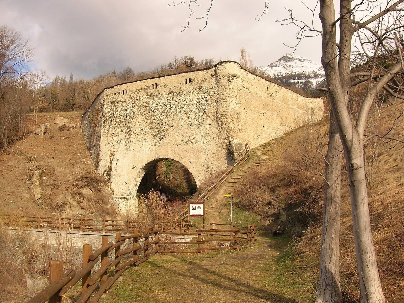
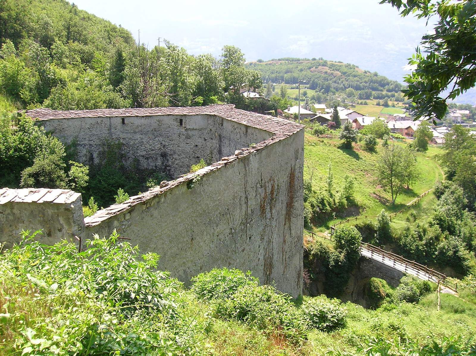
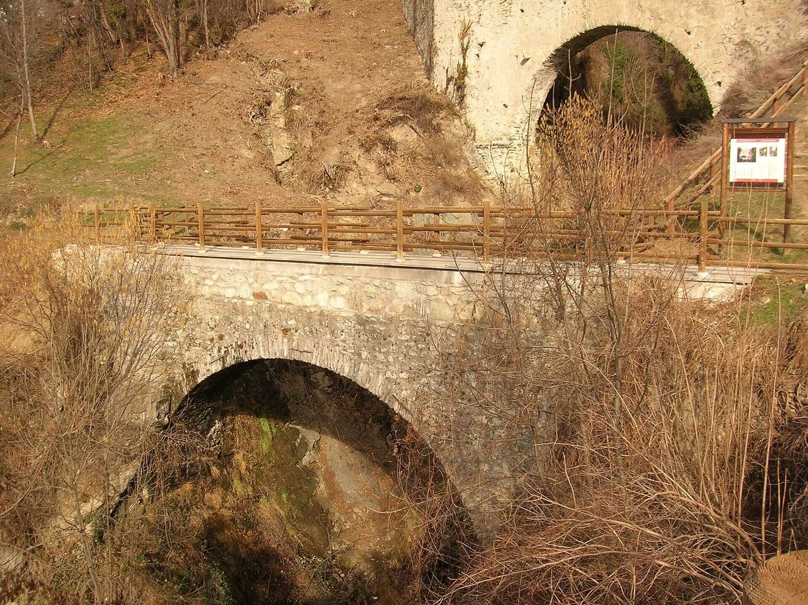
The bridge stands between Neyves and Chiou in Porossan, above a narrow gorge cut by the Parléaz torrent. It is about 68.5 metres long, with an arch spanning 13.6 metres. Built from small stones set in lime mortar, it is partly covered with plaster. Its irregular trapezoidal plan omits the longer of its two parallel sides. This shape accommodates the canal’s steady gradient while keeping the arch opening limited, and the structure is braced against the adjoining rocky slopes.
The height from the roof to the base of the right-bank abutment is 19.5 metres; from the roof to the underside of the arch, it is 10.5 metres. The walls measure about 50 to 55 centimetres thick.
Covered canal passage
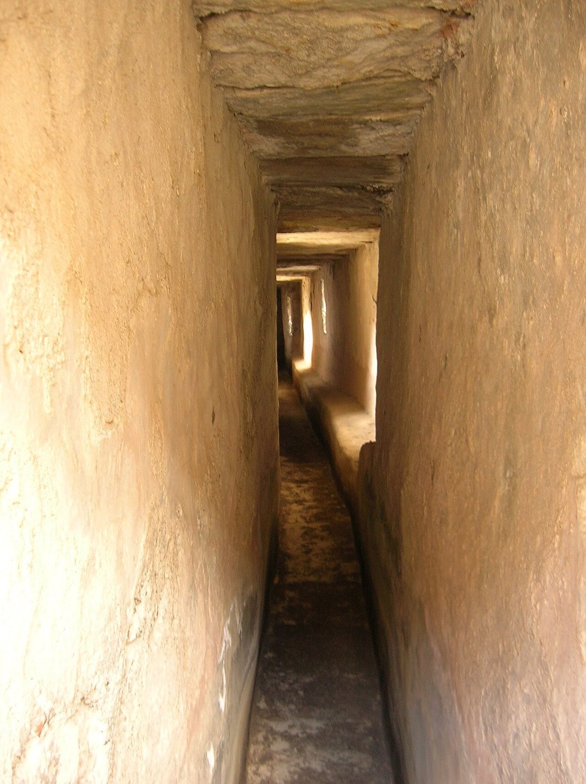
A covered passage, almost 70 metres long, follows the course of the canal through the bridge. Its smooth, waterproof plaster lining measures about 57 to 62 centimetres wide at the base and 80 to 82 centimetres across at shoulder height, where a projecting ledge broadens the passage. It is high enough for a person to stand upright while inspecting the canal, and its floor is paved with tiles. Openings along the sides admit light.
Roof and structural supports
Stone slabs cover the roof, and a nineteenth-century restoration helped preserve it. A cylindrical buttress on the eastern side strengthens the passage at its narrowest point. On the opposite side, a double arch made with herringbone-laid stones directs loads toward the rock. This support is visible where the plaster has worn away.
Petit Arvou
A few metres downstream, the smaller Petit Arvou carries water from the Rû Champapon.