Bingo Kokubun-ji Temple: A Provincial Buddhist Temple in Fukuyama, Japan

Site at a Glance
- Rating
- 4.2
- Popularity
- Very Low
- Country
- Japan
- Primary era
- Early Modern
- External website
- Open
- Eras represented
- Medieval, Early Modern
- Civilizations
- Tokugawa
- Site type
- Religious
- Remains
- Temple
On this page9 sections
History
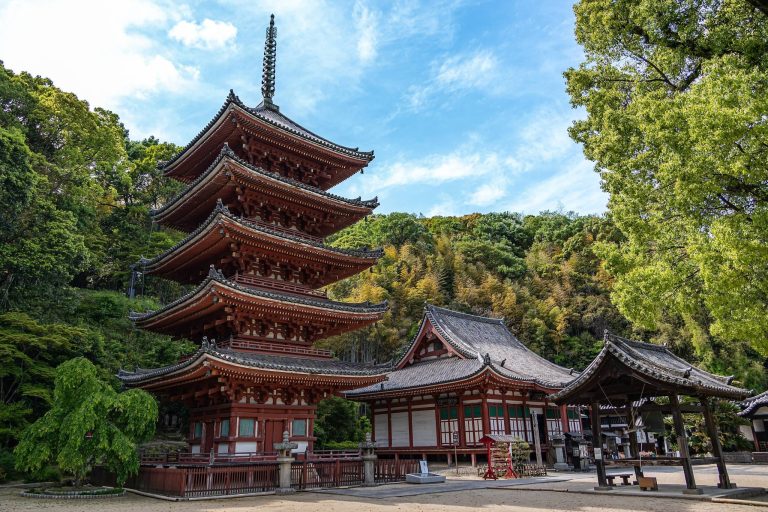
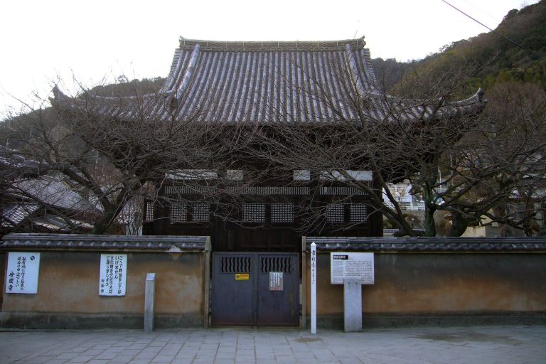
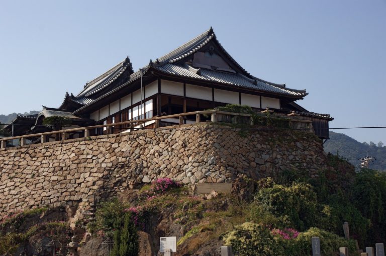
Bingo Kokubun-ji Temple is a Buddhist temple in Fukuyama, Japan, and the successor to the ancient provincial monks’ temple of Bingo Province, established around the time of Emperor Shomu’s 741 decree. That decree created the Kokubunji system, a network of provincial Buddhist temples intended to support state protection and religious practice, with each province generally receiving a monks’ temple and a nuns’ temple. The present institution formally bears the name Karao-zan Iō-in Kokubun-ji, belongs to the Daikakuji branch of Shingon Buddhism, and enshrines Yakushi Nyorai, a Buddhist figure associated with healing and medicine.
Foundation and Provincial Role
The temple stands in the northern part of the Kannabe Plain, in a setting that included the ancient San’yōdō highway, the presumed provincial nuns’ temple, and nearby burial mounds. The area formed a cultural center from early times. Although the exact foundation date of the ancient monks’ temple is unknown, its establishment is generally placed around the 741 imperial decree. Regulations issued in 820 and 927 assigned the temple an allowance of 20,000 bundles of rice.
A temple history compiled in 1716 states that the institution once held more than 100 kan of estate holdings and twelve subsidiary temples. This description reflects the scale of its earlier institutional position within the province.
Warfare, Rebuilding, and Early-Modern Change
In spring 1561, warfare destroyed the temple by fire. Sugihara Morishige, lord of Kannabe Castle, then used donated funds to construct a simple seven-bay hall and gave the temple 20 kan of land. In 1600, Fukushima Masanori confiscated the temple lands. Fukushima was a prominent feudal lord active during the transition from the late sixteenth century to the early seventeenth century.
Flooding in 1673 caused the halls to collapse, leaving one building standing. In 1679, Mizuno Katsutane donated timber from Amitsuki-yama, and a seven-bay thatched hall was built. Katsutane, a feudal lord associated with the Fukuyama domain, also began measures in 1697 to address sediment disasters along the Dōdōgawa River. These works included sand-retaining structures connected with the Fukuyama domain.
A Yakushi Hall was added in 1692. Images of Yakushi Nyorai and the Twelve Heavenly Generals, guardian figures traditionally linked with Yakushi’s protection, were enshrined there. The present temple is also associated with the Chugoku Forty-Nine Yakushi Pilgrimage as site number 12.
Archaeological Identification
Excavation of the ancient Bingo Kokubun-ji site began in fiscal year 1972. The Hiroshima Prefectural Board of Education carried out four investigation campaigns through fiscal year 1975, with preliminary reports issued between 1973 and 1976. The Kurigara abandoned temple site had previously been proposed as Bingo Kokubun-ji in the Fukuyama Shiryō, but it is now regarded as the remains of a Hakuhō-period temple, belonging to the later seventh-century phase of Japanese Buddhist temple construction before the Nara period.
Remains
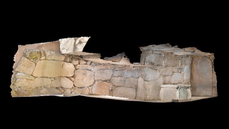
The present temple stands on the eastern bank of the Dōdōgawa River in Shimogoryō, Kannabe, while the ruins of the ancient monks’ temple lie south of the current precinct. The ancient enclosure extended approximately 180 metres from east to west, or 600 shaku; its north-south extent remains undetermined. An earthen enclosure wall survives along the eastern boundary. The complex followed a Hōki-ji-style arrangement, in which the Main Hall and pagoda stood side by side with the Lecture Hall behind them.
Ancient Monks’ Temple
Main Hall, Pagoda, and Lecture Hall
Excavated remains identify the Main Hall to the west, the pagoda to the east, and the Lecture Hall to the north. Together, these buildings establish the principal arrangement of the ancient provincial monks’ temple and show how its buildings were positioned within the enclosed precinct.
South Gate and Highway Approach
The South Gate opened toward the ancient San’yōdō highway. A roadside marker once stood in front of the gate and indicated the early-modern route, also called the Saigoku Highway, as well as the Iwami Road leading toward the Iwami Silver Mine.
Provincial Nuns’ Temple
Across the Dōdōgawa River west of the monks’ temple ruins lies the Koyamaike abandoned temple site, identified with the presumed provincial nuns’ temple of Bingo. Excavations took place there from 1976 to 1978 and again in fiscal year 1997. Its arrangement differed from that of the monks’ temple, placing the Main Hall to the east, the pagoda in the center, and the Lecture Hall to the west.
The Koyamaike temple was founded around the late seventh century, at the end of the Hakuhō period, and is estimated to have continued until about the twelfth century. Its proximity to Bingo Kokubun-ji and the presence of roof tiles shared with the monks’ temple support the view that the earlier Hakuhō-period complex was reused as the provincial nuns’ temple during the Nara period.