Beycesultan Hill: An Ancient Settlement in Turkey
Site at a Glance
- Popularity
- Medium
- Country
- Turkey
- Primary era
- Bronze Age
- Eras represented
- Stone Age, Bronze Age, Medieval
- Civilizations
- Unclassified
- Site type
- City
On this page18 sections
History
Beycesultan Hill is an archaeological settlement mound in Denizli Province, Turkey, about 5 km southwest of Çivril. Occupied from the Late Chalcolithic, or Copper Age, it grew into an important settlement during the Bronze Age and reached its peak in the early second millennium BC.
Early settlement and Bronze Age growth
Excavations identified about 40 settlement layers. The first 20 belong to the fifth and fourth millennia BC. During the third millennium BC, Beycesultan expanded and developed religious and civic buildings. In the later Early Bronze Age, it took part in trade between central and western Anatolia and the Aegean. The potter’s wheel reached the region during Early Bronze III, alongside the arrival of the Luwians, an ancient people of Anatolia.
The palace and its destruction
The settlement’s development culminated in a large palace and associated buildings. The palace, known as Level 5 in the archaeological sequence, dates to approximately 1900 to 1750 BC. It was abandoned and burned around 1700 BC. Archaeologist James Mellaart interpreted the destruction as a result of campaigns by Hattusili I, an early Hittite king, against Arzawa, a group of kingdoms in western Anatolia. This proposed connection remains uncertain.
After the palace’s destruction, the settlement came under strong Aegean and Cretan influence. Following several centuries of partial abandonment, it grew again under stronger influence from Hittite Anatolia. This later settlement remained extensive but was smaller than its predecessor. It was destroyed around 1200 BC, during a period when many Anatolian settlements were also destroyed.
The Late Bronze Age settlement has been tentatively linked with Mira Kuwalaya, a land within the Hittite-era Arzawa sphere. Other proposed identifications connect Beycesultan with Wilusa or Mira, but these ancient place names cannot be securely assigned to the site.
Later occupation and archaeological work
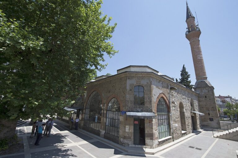
Beycesultan saw smaller-scale occupation in the Byzantine, Seljuk, and Ottoman periods. Its Byzantine settlement has been tentatively identified as Ilouza, a town and bishopric, or church district administered by a bishop. The site takes its name from the tomb built here in the fourteenth century for Beyce Sultan, a Turkmen dervish, or member of a Sufi religious order.
In the early 1950s, Mellaart found Late Bronze Age pottery whose shape resembled a champagne glass near the site. A survey prompted by this find identified the settlement mound. Seton Lloyd and Mellaart then excavated for the British Institute of Archaeology at Ankara over six seasons, from 1954 to 1959; their first expedition was organized in 1953. Eşref Abay of Ege University led a renewed survey of Beycesultan and its region from 2002 to 2007. Excavations under his direction began in 2007 and continued in collaboration with Adnan Menderes University.
Remains
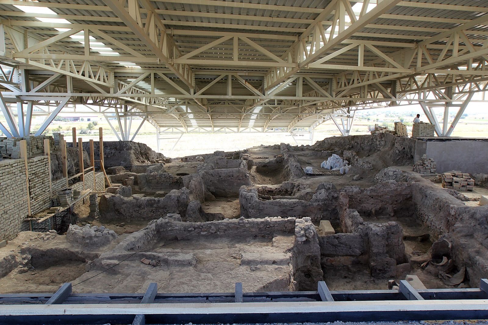
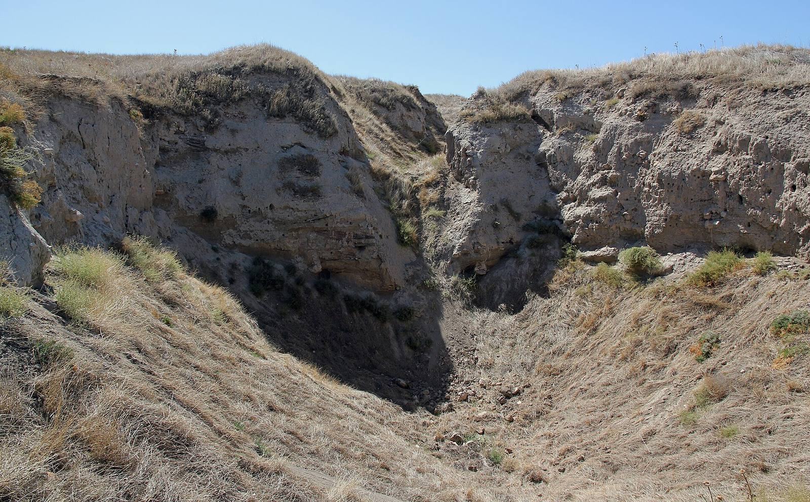
The site occupies a bend in an old tributary of the Büyük Menderes River, which is now dry. It consists of two mounds divided by an old trade road and extends for about 1 km. The western mound rises to a maximum height of 25 m. Remains from different periods include houses, sanctuaries, a palace complex, shops, and a medieval tomb.
Early settlement buildings
Late Chalcolithic rooms
Late Chalcolithic remains include rectangular rooms with mudbrick walls set on stone foundations. Benches ran along the walls.
Early Bronze Age sanctuaries and houses
Early Bronze Age sanctuaries had a rectangular main chamber with a porch in front. Altars stood near the eastern end of the central axis and generally consisted of two clay upright slabs, with a stylized ox-skull form in front. Offerings found around the sanctuaries included vessels and circular ovens; some buildings also contained equipment associated with animal sacrifice. Other buildings had a large rectangular hall and entrance porch, with a fireplace in the main room. Smaller temples stood beside larger buildings. A later Early Bronze Age group comprised three buildings in a similar hall-and-porch arrangement. Such houses also characterize Early Bronze III; finds include jars and jugs with beak-shaped spouts.
The Burnt Palace
Plan and construction
The palace complex measured about 70 m across and contained 47 spaces, including enclosed rooms and open courtyards. Its public buildings occupied a separately enclosed inner area within the city’s larger defensive wall. A courtyard measuring 30 by 20 m lay between the two wings. Stone foundations, sometimes strengthened with timber, supported mudbrick walls set within wooden frameworks. Upper floors and galleries were generally made of wood, while floors were roughly finished and covered with mats. The western wing is better preserved and was not altered after the fire.
Entrances and reception rooms
Two entrances opened on the palace’s southeast side. A smaller doorway may have been used for service. The other faced the river and was reached by a broad, gently sloping ramp suitable for horses, descending to the riverbank. Beyond it, a vestibule led to a clay-paved room containing a ritual washing basin 25 cm deep. White plaster covered the walls, which were painted red; water-storage jars stood alongside them.
A room in the central part of the palace, possibly an audience hall, measured 9 by 11 m. A short sloping ramp entered the room, whose floor stood nearly 1 m above the surrounding level. Its walls had white plaster below horizontal bands of red, yellow, and white paint, about 50 cm high. The lack of column bases suggests that at least part of the room may have been open to the sky. Another reception room had red paint over white plaster and a hearth. Column bases indicate that this room had a roof supported by columns. Other rooms served as storerooms, and a smaller room may have held a staircase to the upper floor.
Eastern wing
The eastern wing contained large rooms, including some with pebbles set between parallel timber beams in their floors. Channels cut into the lower wall sections may have provided ventilation. A broad staircase led to the upper floor. Some raised interior floors have also been interpreted as containing air channels that may have been used for heating. The wing was occupied again after the fire.
Buildings on the mounds
Western mound houses and temple
On the western mound, Middle and Late Bronze Age houses and streets lie beneath Byzantine and Seljuk layers. The houses belong to building phases called 5a and 5b. The buildings visible today belong to phase 5a, dated to 1600 to 1500 BC. Their two-room plans were L-shaped, and some houses had two storeys.
A larger rectangular building with several rooms stood at the center of this area and may have been a temple. An altar was found in one room, interpreted as the temple’s main enclosed chamber.
Eastern mound tomb
The eastern mound contains Beyce Sultan’s fourteenth-century tomb. The building is octagonal and was restored by excavators.
Shops and other finds
Shops outside the palace
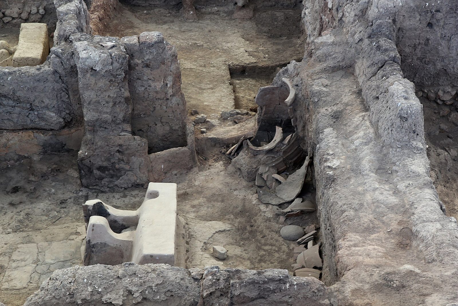
Small shops stood outside the palace. One has been interpreted as a Bronze Age wine tavern: storage vats were sunk into its floor, and many drinking vessels were found there. Gaming pieces made from knucklebones, called astragaloi, were also recovered. One type has been described as a forerunner of the modern game Chuck-a-Luck.
Pottery and seals
Champagne-glass-style pottery, named for its resemblance to a champagne glass, came from a Late Bronze Age context associated with a row of small buildings destroyed by fire. A few seals were also found at the site.