Ayasuluk Hill: An Ancient Settlement and Medieval Fortress at Ephesus
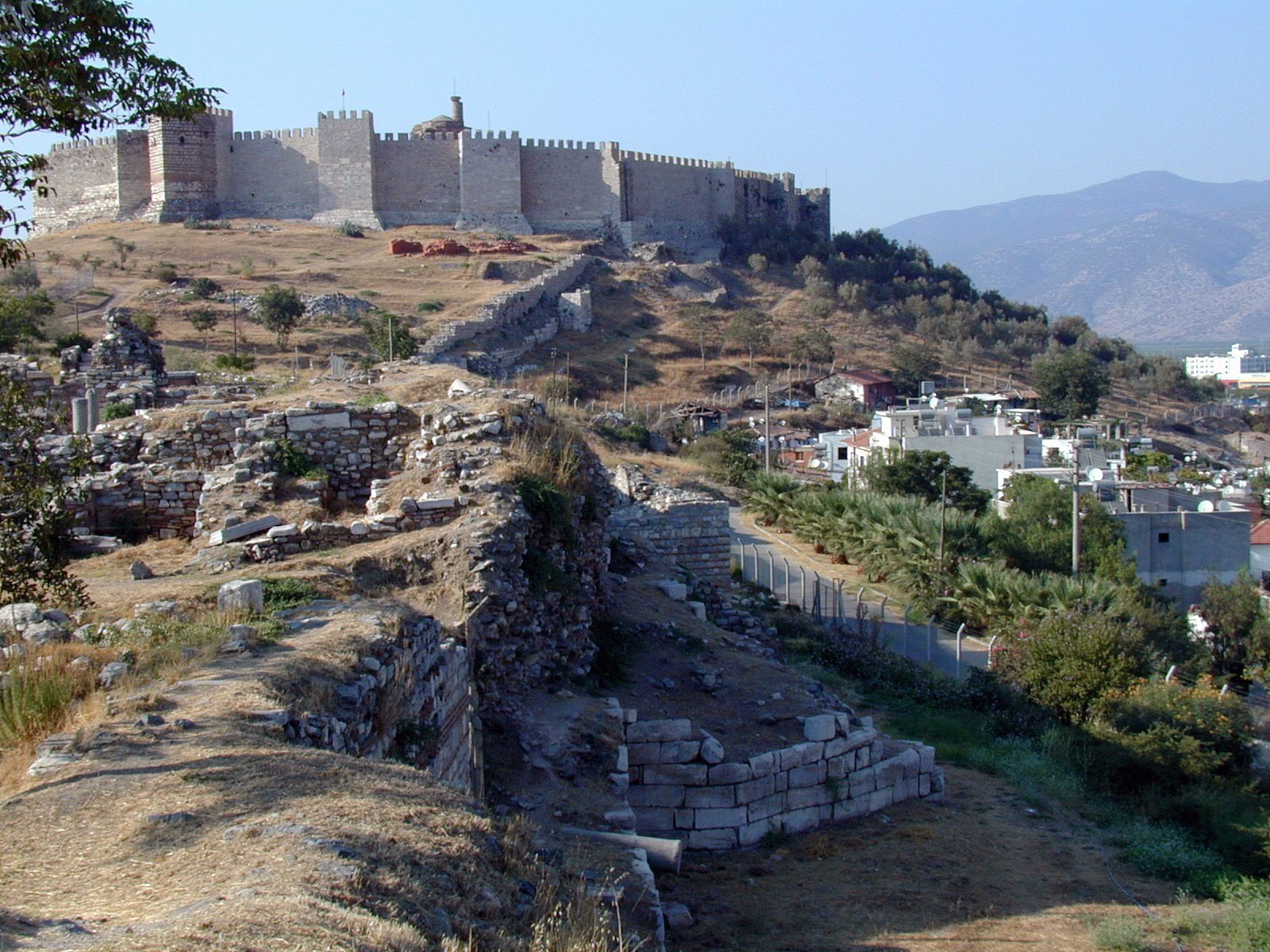
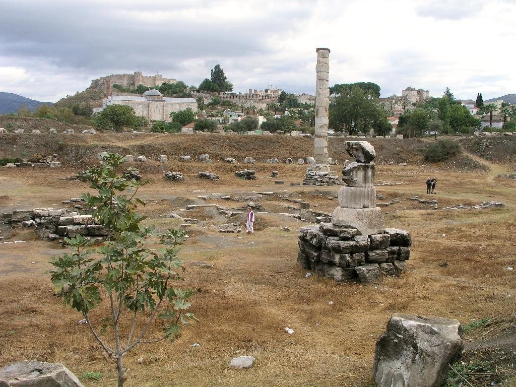
Site at a Glance
- Country
- Turkey
- Primary era
- Medieval
- Eras represented
- Bronze Age, Classical, Medieval, Early Modern
- Civilizations
- Aydinid, Byzantine, Hittite, Ottoman, Seljuk
- Site type
- Military
- Remains
- Castle
On this page17 sections
History
Ayasuluk Hill is an ancient settlement and fortified archaeological site in İsa Bey, Selçuk, Türkiye, with occupation reaching back to the Late Copper Age and Early Bronze Age. It became one of Ephesus’s earliest settlements and, after the ancient city declined, its main center during the Byzantine and medieval periods.
Early settlement and Bronze Age kingdoms
Ephesus was long thought to have been founded around 1050 BC by migrants from Greece. Excavations at Ayasuluk Hill and nearby Çukuriçi Mound instead revealed Neolithic settlements dating to about 8,000 years ago and placed Ephesus’s foundation in the Early Bronze Age. The hill’s settlement history reaches further back still. Apasa, a capital associated with the western Anatolian kingdoms of Arzawa and Mira within the Hittite Empire’s sphere, may also have been located here. The Hittite Empire was a major Bronze Age power in Anatolia.
Byzantine Ephesus and the cult of St John
Ephesus developed at other locations during the Hellenistic era, the period following Alexander the Great’s conquests, and under Roman rule. During the Byzantine period, the city’s center shifted back to Ayasuluk. The harbor’s silting and the spread of malaria may already have weakened the coastal settlement before early Muslim expansion into the eastern Mediterranean, prompting people to move from the shore to the hill. From the seventh century, as the ancient town declined amid the Arab-Byzantine wars between the Byzantine Empire and early Muslim states, Ayasuluk became Ephesus’s principal settlement.
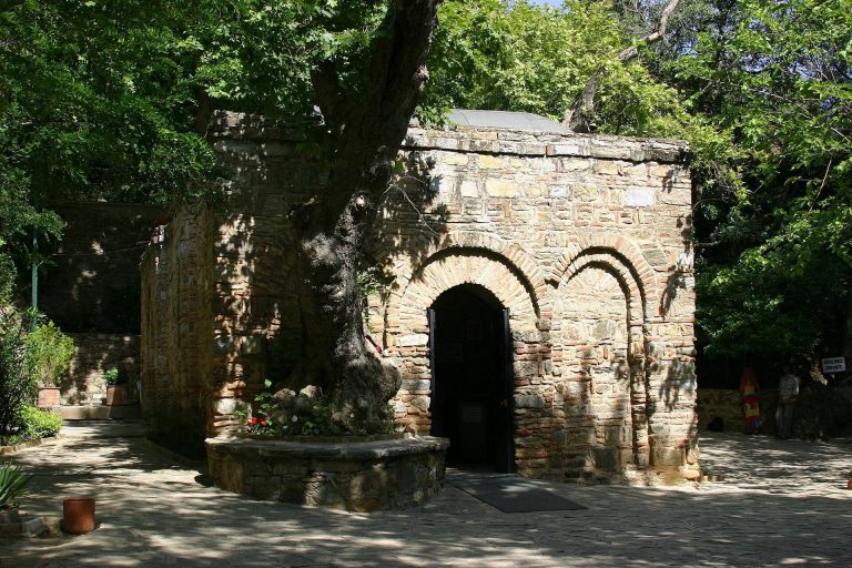
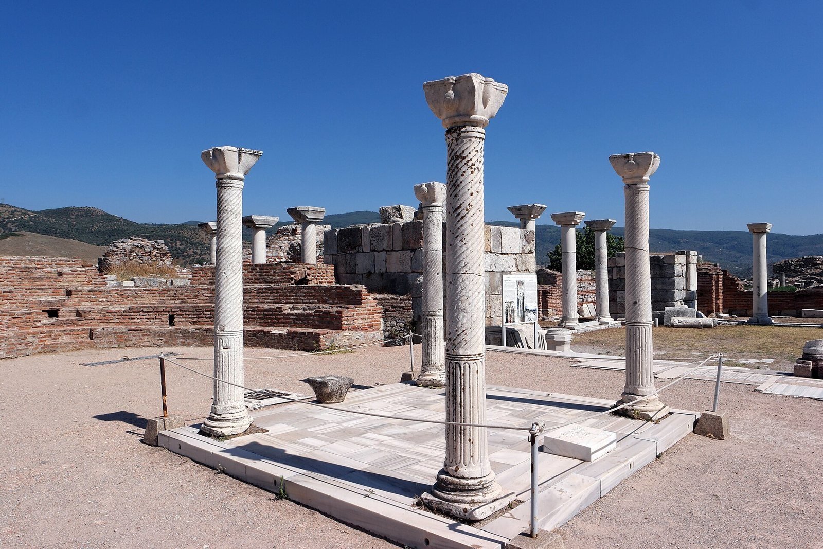
Christian tradition identifies the hill as the tomb of John the Apostle, an early follower of Jesus associated with the Gospel of John, and holds that he wrote the Gospel there. A mausoleum for John was replaced by a basilica in the fifth century. The Christian pilgrim Egeria planned to visit the site in the fourth century. Earthquakes damaged the basilica in the sixth century, and rebuilding began in 535/536 under Justinian I, the East Roman emperor from 527 to 565. After Arab invasions in the seventh century, a fortress was built to protect the church.
Turkish rule and the medieval town
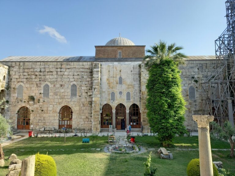
Seljuk Turks took control of the area in the early fourteenth century. The basilica was converted for use as a mosque, and Ayasuluk became the capital of the Aydinid principality, a Turkish regional state, from 1350 to 1390. The church was destroyed during the invasion of Timur, a Central Asian ruler and military conqueror, in 1402. The fortress was later restored under Seljuk and Ottoman rulers, while the settlement began to contract from the sixteenth century.
The medieval Greek name Theologos came from a title for John meaning ‘Holy Theologian’; the Turkish name Ayasuluk derives from the same Greek name.
Archaeology and conservation
An early investigator of Ephesus, O. Benndorf, proposed Ayasuluk Hill as the location of the ancient city. Later investigations expanded understanding of Ephesus’s early history and the hill’s prehistoric settlement. The castle was excavated in 1960 and again from 1990 to 2003. Further excavation and repair work began in 2007, extensive repairs to the western fortification walls started in 2010, and another excavation and repair phase began in 2020.
During the Greek occupation of the area from 1920 to 1922, archaeologist G. A. Sotiou excavated John’s burial place and found it empty. The relics had been transferred in the sixth century to the Church of the Holy Apostles, a major Byzantine church in Constantinople. Parts of the basilica were rebuilt after the founding of the Turkish Republic in 1923, with support from religious foundations in the United States. Ayasuluk Hill is part of the Ephesus UNESCO World Heritage Site, inscribed in 2015.
Remains
The remains bring together prehistoric occupation layers, religious buildings, waterworks, and the later castle. The Inner Castle and outer fortifications form a defensive complex; five cisterns lie within the Inner Castle, while the Great Cistern stands at the southeastern corner of the outer defenses. The surviving buildings and features include the basilica, the Bishop’s Palace, an aqueduct, and excavated houses, roads, and a bath.
Prehistoric settlement and tombs
The earliest remains date to the Late Copper Age and Early Bronze Age. A trench at the southeastern corner of the Inner Castle revealed six archaeological layers, showing continuous occupation from the Early Bronze Age through the Hellenistic period. Finds from the sixth layer include three-legged storage vessels, fragments marked with nail-like impressions, and cylindrical lids. These objects are associated with Early Bronze Age layers at Troy I, Emporio VII, Liman Tepe, and Bakla Tepe.
The hill was fortified during the Late Bronze Age, and circular burial chambers, or tholos tombs, were cut into its side. Finds also include Mycenaean pottery, associated with Bronze Age Greece, and seals.
Church and episcopal buildings
Basilica of St John
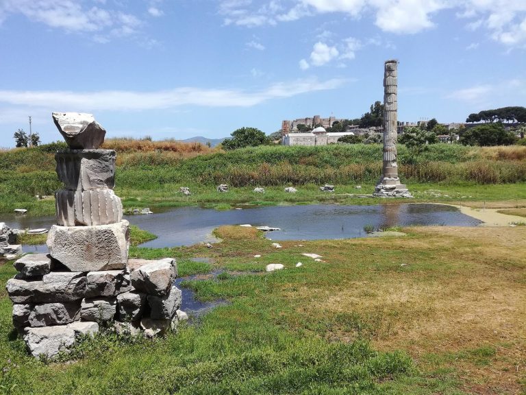
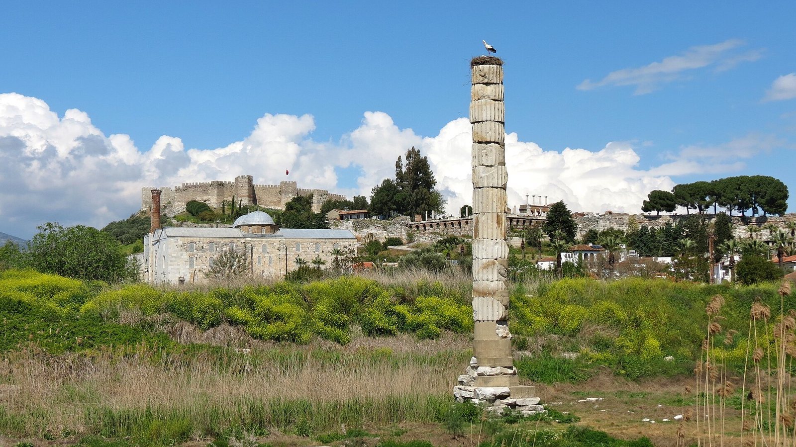
The Basilica of St John is a large, domed church with a cross-shaped plan. It was described as enormous and lavishly decorated, with a design comparable to Justinian’s Church of the Holy Apostles in Constantinople. Its design has also been linked to the nearby Temple of Artemis, an ancient sanctuary dedicated to the Greek goddess. The church’s eastern end, with its curved sanctuary, later became one of the Inner Castle’s cisterns.
Bishop’s Palace
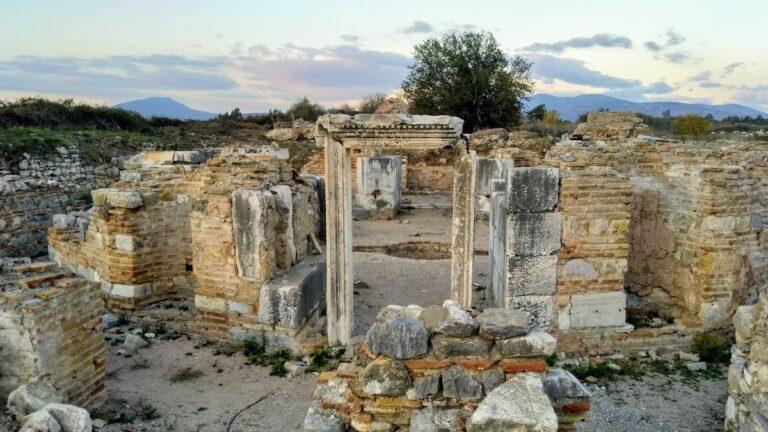
The Bishop’s Palace, a residence associated with a bishop, had its main building phase in the fifth and sixth centuries AD.
Water supply
Aqueduct
A branch of aqueduct, a channel that carries water, supplied the hill. It is about 650 metres long and probably dates to the reign of Justinian. The aqueducts brought water from springs east of the Pranga area, between Belevi and Selçuk. Some surviving sections reach heights of up to 15 metres.
Great Cistern
The Great Cistern, a water-storage structure, occupies the southeastern corner of the outer fortification and was supplied by aqueducts. It measures 32.66 by 30.07 metres externally and 27.20 by 25.80 metres internally.
Castle and medieval buildings
Fortifications
The surviving Ayasuluk Castle is a Seljuk-Ottoman fortress. Its Inner Castle and the outer walls were built from rubble stone and reused materials, and the Inner Castle was reinforced by 15 towers. It has entrances on the east and west. The west gate was designed for protection by walls projecting outward. Five cisterns lie inside the Inner Castle.
Castle pavilion
The castle pavilion, excavated in 2009 within the castle, measures 11.0 by 10.2 metres externally and 9 by 8 metres internally. Its walls combine stone and brick set in lime mortar. Marble frames the eastern and southern doorways, which have grapevine motifs resembling decoration on Isa Bey Mosque. The pavilion is thought to have had two storeys. Fahreddin Isa Bey, an Aydinid ruler, is said to have commissioned it in 1375. It appears in an engraving made by the English traveler J. Covel in 1670 but not in an engraving from 1690, placing its presumed demolition between those dates.
Houses, roads, and bath
Excavations have revealed houses on the southern slope of the Inner Castle, as well as roads and a bath.