Archaeological Site of Trypitos: A Hellenistic Settlement in Crete
Site at a Glance
- Popularity
- Very Low
- Country
- Greece
- Primary era
- Classical
- Eras represented
- Classical
- Civilizations
- Ancient Greek
- Site type
- City
On this page8 sections
History
Hellenistic settlement
The Archaeological Site of Trypitos is an ancient Greek settlement on the Trypitos Peninsula in eastern Crete, Greece. It developed during the Hellenistic period, the era after Alexander the Great’s reign and before Roman expansion across the eastern Mediterranean. Finds date its occupation from the early 3rd to the middle of the 2nd century BCE, a span of about 75 to 100 years.
The settlement was destroyed in an event associated with Hierapytna, an ancient Cretan city, destroying Praisos in 146 BCE. Trypitos has been proposed as Eteia, an independent Greek city-state, or as Polichna, also known as Polichne. The latter has been identified with the harbor of Praisos mentioned by Herodotus, the fifth-century BCE Greek historian.
Archaeological investigation
Cultivation of the peninsula by its owner damaged the remains in 1960. Systematic excavations took place from 1987 to 1989 and from 1994 to 1998 under archaeologist Nikos Papadakis of the Ephorate of Prehistoric and Classical Antiquities, Greece’s public archaeological service.
Remains
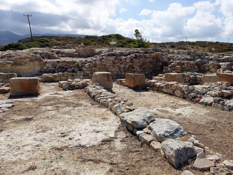
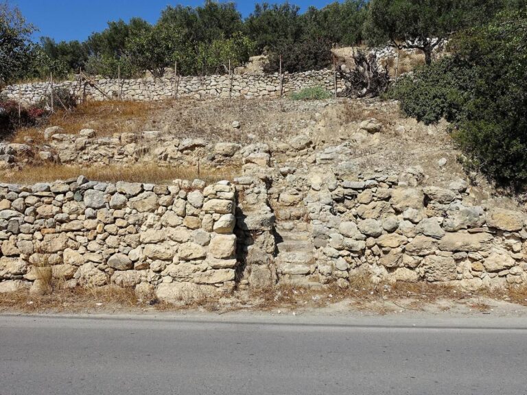
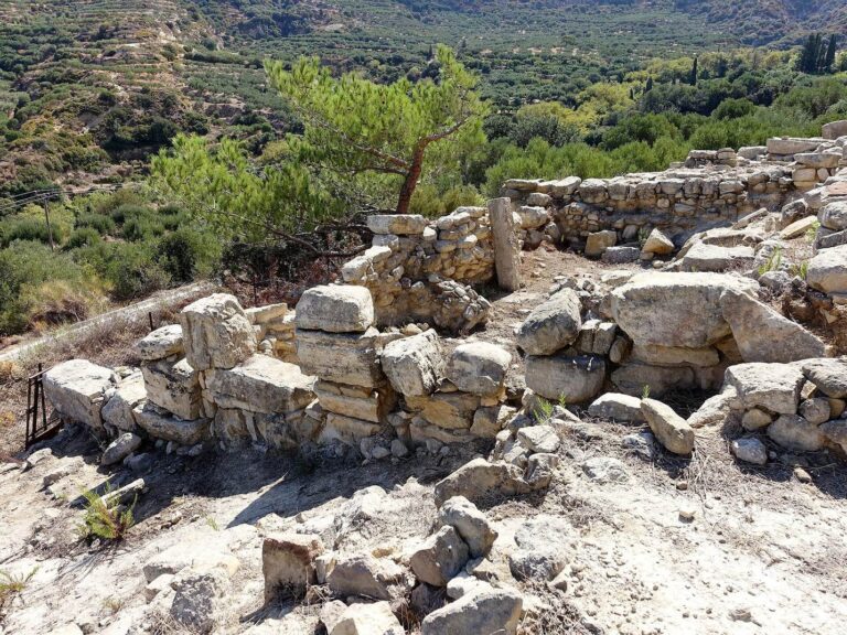
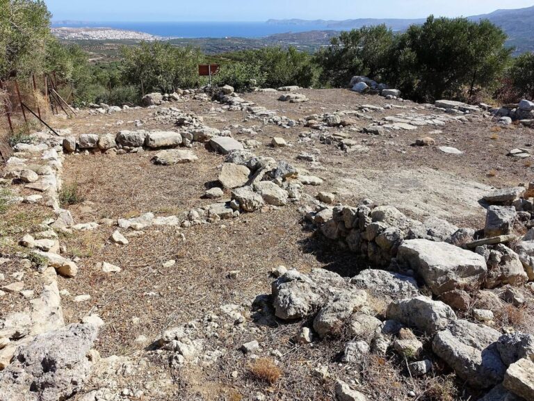
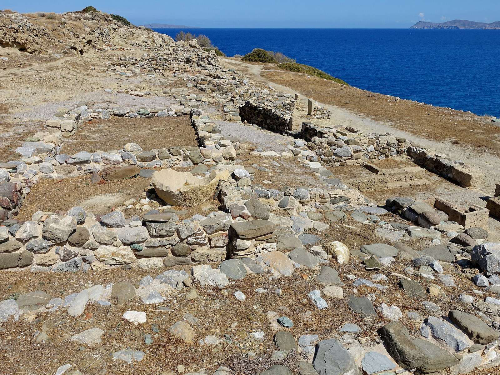
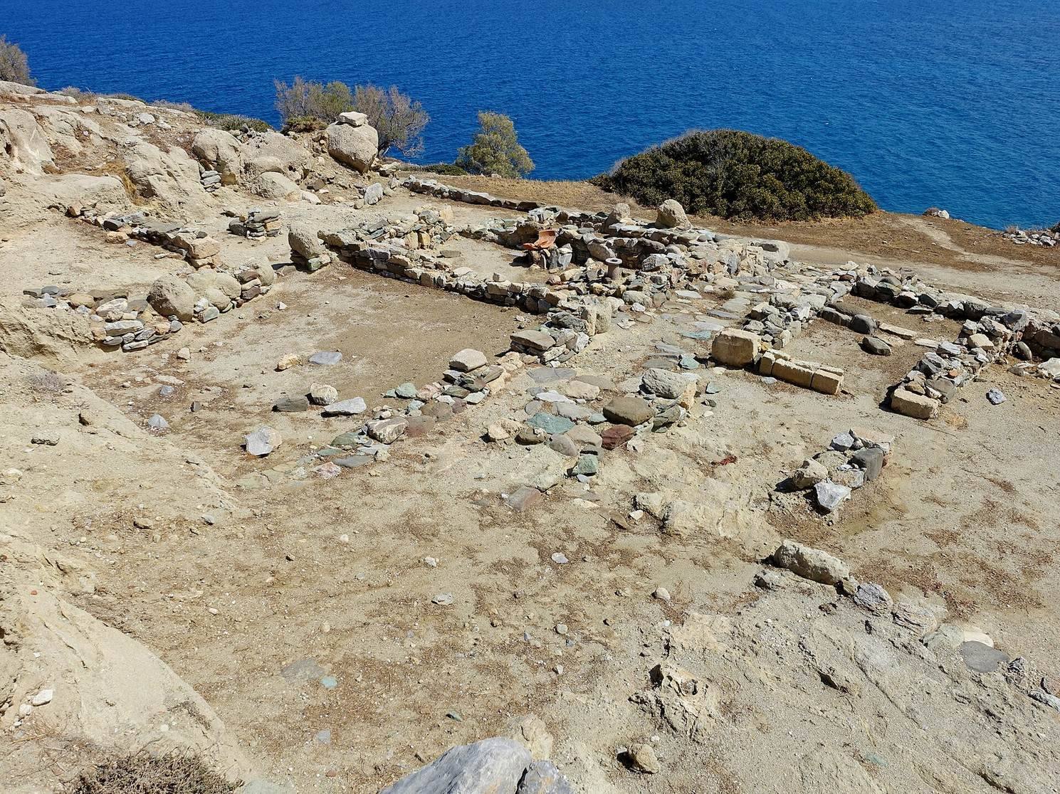
The settlement occupies a peninsula on the south side of Sitia Bay, about 1.8 km east of the town of Sitia. The land projects roughly 280 m from Crete’s northern coast into the Aegean Sea and narrows to just over 100 m at its tightest point. Hellenistic buildings were arranged in terraces across the peninsula.
Harbor cut and defenses
Ship shed
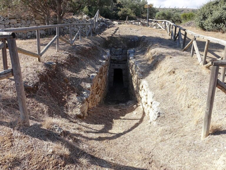
On the peninsula’s eastern side, an artificial cut in the rock formed a ship shed where medium-sized boats could be hauled ashore. The cut is 30 m long, 5.5 m wide, and 5 m high. Boats were drawn from the water up a ramp sloping between 15 and 30 degrees, while cuts in the rock indicate a wooden bolt used to secure them. The names Trypitos, meaning “Perforated,” and Karavopetra, meaning “Boat Stone,” derive from this rock cut.
Southern defensive wall
A defensive wall 1.8 m thick marked the settlement’s southern boundary, separating it from the island’s interior. It extended from the ship-shed cut to the bay on the peninsula’s western side, with some buildings standing directly to its north.
Terraced housing
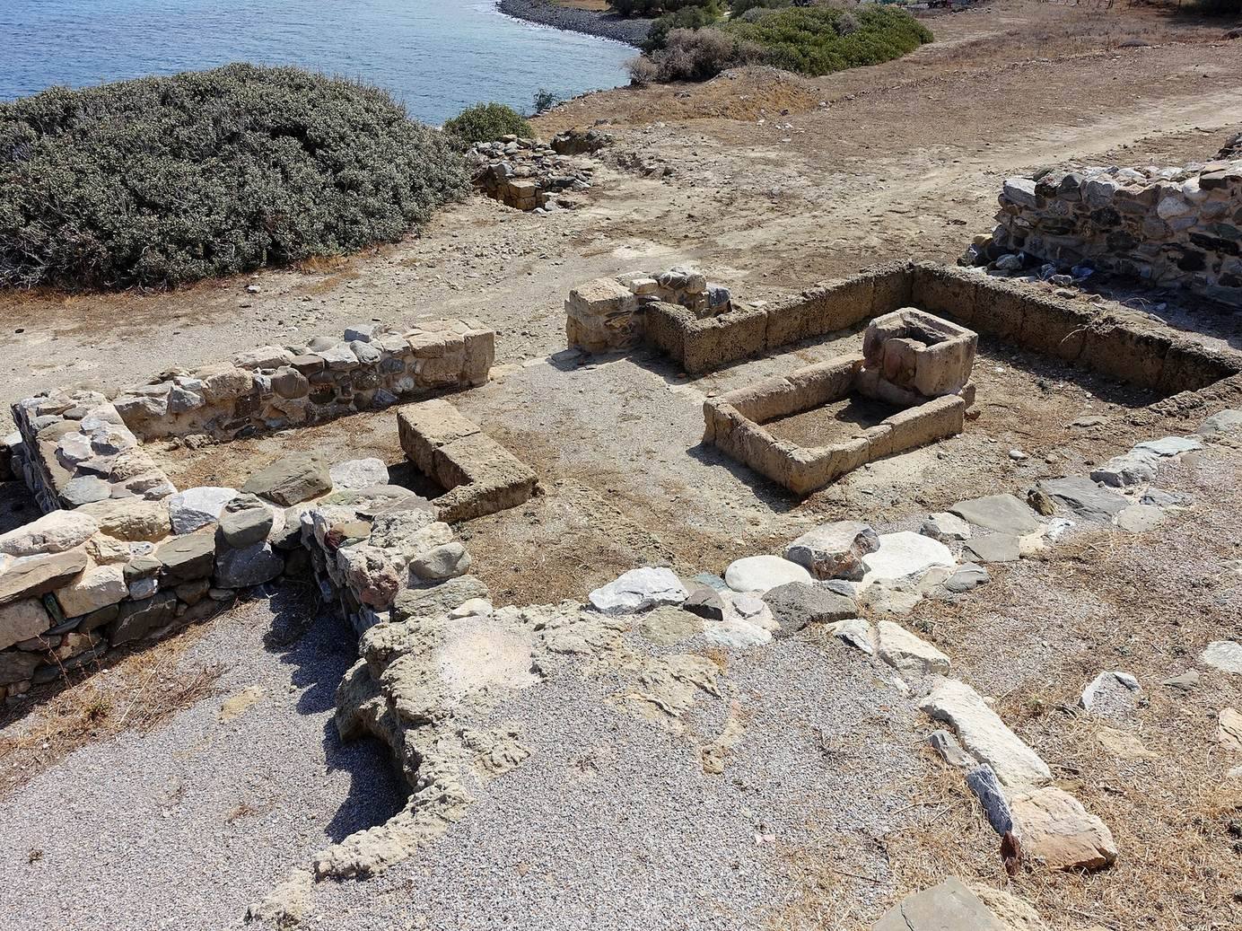
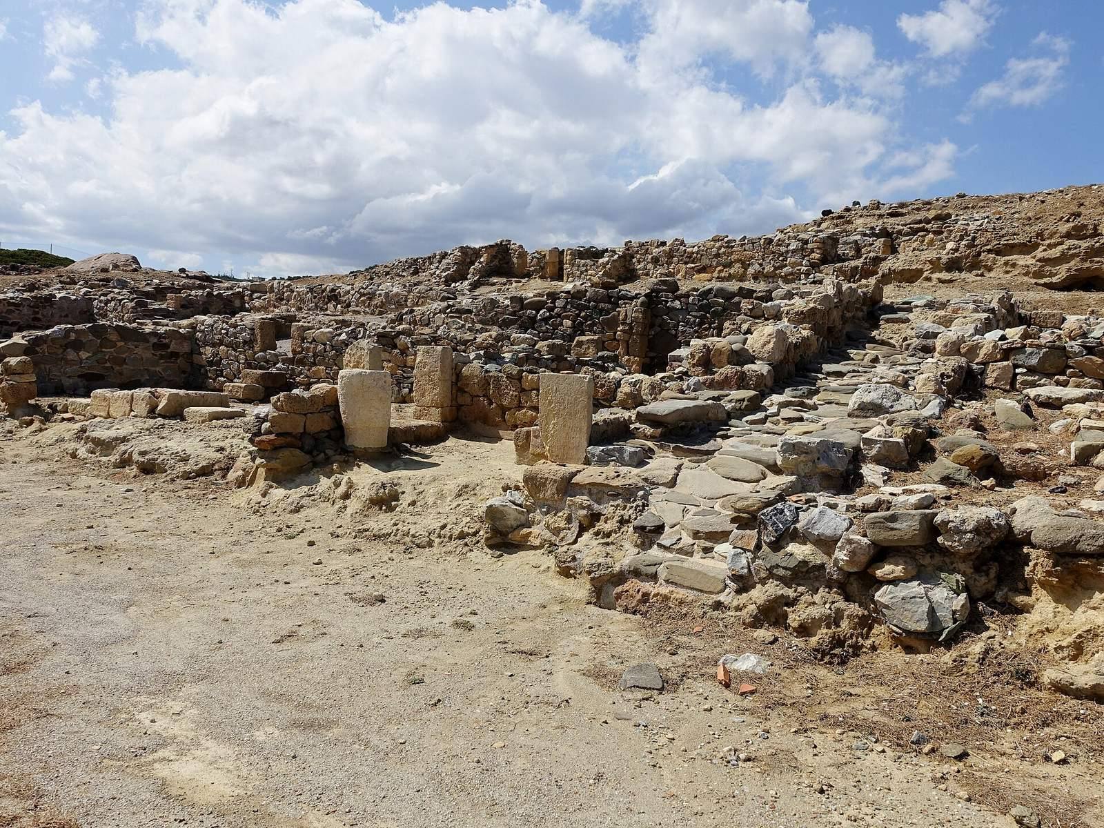
Houses were grouped into building complexes named Alpha, Beta 1, Beta 2, Gamma, Delta, and Epsilon. Alpha, Gamma, and Delta lay from east to west along the former defensive wall, while Beta 1, Beta 2, and Epsilon stood north of Alpha. Three paved streets, also called Alpha, Beta, and Gamma, ran east to west in sequence from south to north. Houses formed enclosed units between the streets. Excavations also recovered coins inscribed with the letters PO, a marking otherwise unknown on coins from Crete or the Aegean.