Archaeological Area of Aquileia: Roman Forum and Civic Centre


Site at a Glance
- Rating
- 4.5
- Popularity
- Low
- Country
- Italy
- Primary era
- Classical
- External website
- Open
- Eras represented
- Classical, Medieval
- Civilizations
- Roman
- Site type
- City
On this page11 sections
History
The Archaeological Area of Aquileia, including its Roman Forum, is a Roman urban complex in Italy, founded by the Romans in 181 BCE as a colony and military outpost on the Natissa River. During the Early Roman Empire, the period from Augustus to roughly the 3rd century CE, Aquileia developed into the capital of the region of Venetia et Histria, an administrative and political centre, and a prosperous trading hub linking the Mediterranean with Central Europe.
Growth of the Roman city
Aquileia became one of the largest and wealthiest cities of the Early Roman Empire. Its river and canal network supported the movement of commodities such as amber and, from the 1st century CE, glass. The city also minted coins between 284 and 425, reflecting its continuing administrative and economic role.
The Roman Forum was established as the centre of public life during the 2nd and 3rd centuries CE. Together with the Roman civic basilica, or courthouse, it formed part of a central complex serving political, administrative, and religious purposes. The forum and basilica provided the principal setting for civic activity in the Roman city.
Destruction and archaeological preservation
In 452, Attila, ruler of the Hunnic Empire, led the forces that sacked and destroyed Aquileia. Most of the ancient city subsequently remained buried beneath agricultural fields and the modern settlement. The surviving urban layout and form have nevertheless remained largely intact.
Archaeological work began in the late 19th century. Excavations from the 1930s helped establish the archaeological park, while later conservation, limited reconstruction, and archaeological and art-historical research increased understanding of the city. Current conservation emphasizes minimal intervention. Anastylosis, the re-erection of ruins with surviving architectural elements, has been used where appropriate rather than replacing ancient fabric with entirely new construction.
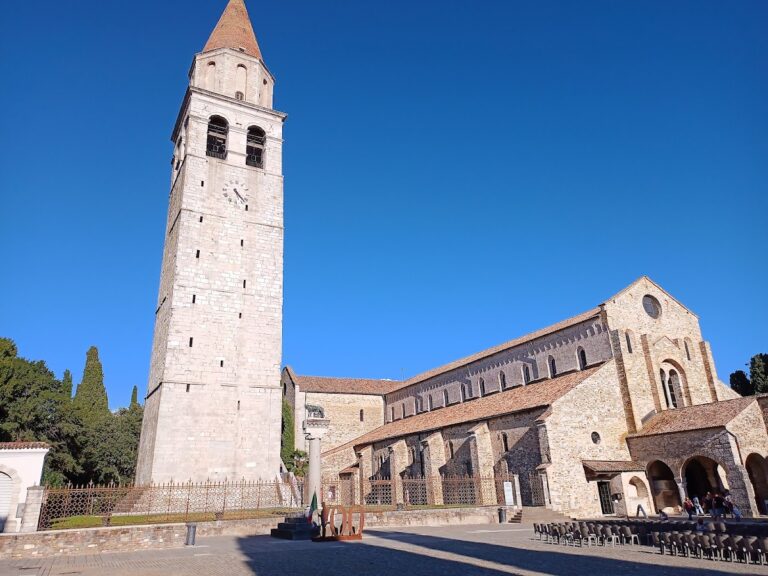
The archaeological area and the Patriarchal Basilica of Aquileia were inscribed on the UNESCO World Heritage List in 1998 under criteria (iii), (iv), and (vi). The property covers approximately 155 hectares and is regarded as an exceptionally complete, largely unexcavated example of an Early Roman city in the Mediterranean world. It is protected in Italy under Legislative Decree 42/2004, the Code of Cultural Heritage and Landscape.
Remains
The Roman Forum has been only partly excavated. Its surviving features belong to the eastern and southern sides of Aquileia’s central public complex, where civic buildings, paved streets, architectural decoration, and traces of water infrastructure remain visible. The wider archaeological area extends beneath fields and the modern settlement, preserving much of the ancient urban fabric underground.
Forum and civic buildings
Eastern portal and aqueduct
An anastylosed portal stands on the eastern side of the forum. Its architectural decoration includes a Medusa protome, a sculpted head of Medusa, and Jupiter Ammon, a representation combining the Roman god Jupiter with the Egyptian deity Ammon and identified by ram’s horns. Beneath the paved surface, part of an aqueduct channel survives, linking the forum’s monumental setting with the city’s water infrastructure.
Roman civic basilica and streets
The Roman civic basilica, which served as a courthouse, opened onto the southern side of the forum. Its perimeter structures survive, and a decumanus, an east-west Roman street, runs along its southern edge. Part of this road retains its basalt paving. Three routes corresponding to urban decumani connected the forum with the warehouses of the river port, while the principal cardo, a major north-south street, structured another part of the city.
River port and city defences
Port warehouses and quay
Long rows of warehouses and quays extended along the Natissa. The monumental quay had two levels, was faced with Istrian stone blocks, and included rings for mooring vessels. The associated warehouses stood above the riverbank and set back from it, forming part of the commercial infrastructure that connected Aquileia’s inland routes with the river.
Walls and late-antique structures
The line of Aquileia’s city walls has been located in its entirety, although only part of the masonry survives. The fourth-century defences incorporated substantial sections of the earlier port installations. Elsewhere in the archaeological area are late-antique warehouses, baths, defensive structures, a Roman cemetery outside the city enclosure, and underground remains of an amphitheatre and circus.
Residences and mosaics
Excavated prestige residences northeast of the Basilica and along the western side of the main cardo date from the late 1st century CE to the 5th and 6th centuries. Their masonry structures and floors decorated with white, black, and polychrome mosaics trace the development of Aquileian mosaic work across several centuries.
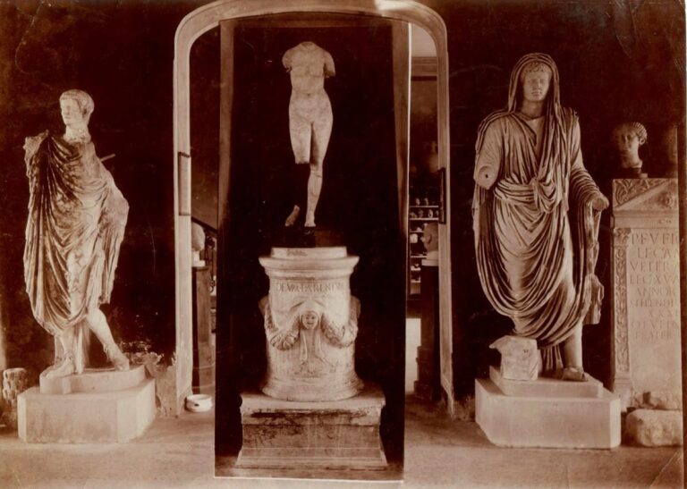
Some mosaics were transferred to the Archaeological Museum of Aquileia because preserving every floor in its original position was considered impracticable. Together with the structures remaining in place, these mosaics provide evidence for the changing character of elite domestic architecture within the ancient city.