Alinda: An Ancient Carian City in Türkiye
Site at a Glance
- Popularity
- Medium
- Country
- Turkey
- Primary era
- Classical
- Eras represented
- Classical, Medieval
- Civilizations
- Achaemenid, Byzantine, Carian, Roman
- Site type
- City
On this page14 sections
History
Alinda was an ancient inland city in Caria, a region of southwestern Anatolia, on two ridges above modern Karpuzlu in Türkiye. Much of its surviving ancient fabric dates to the fourth century BCE, especially the era of the Carian rulers Mausolus and Ada. The city belonged to the Delian League, an alliance led by Athens in the fifth century BCE, and became an important trading center.
Early history and Ada
Alinda may have been important as early as the second millennium BCE. An identification with Ialanti or Iyalanda, a settlement named in Hittite records, has been proposed but remains uncertain. The Late Classical period, the later phase of Greek Classical antiquity, was especially important to the city’s surviving buildings.
Ada, Mausolus’s sister and successor, lived at Alinda from about 340 BCE, after her younger brother Pixodarus drove her from Halicarnassus. In 334 BCE she received Alexander the Great at Alinda, surrendered the city to him, and offered to adopt him. After Alexander took Caria and Halicarnassus, he installed Ada as queen of Caria. Her offer made Alexander the legal heir to the Carian rulers.
Hellenistic names and trade
Modern scholars identify Alinda with Hellenistic Alexandria near Latmus, although the exact location of the settlement recorded under that name is uncertain. The Hellenistic period followed Alexander’s campaigns and the breakup of his empire. The city’s foundation and the origin of its name remain unresolved. One proposal holds that a fortress or camp was established there in the winter of 333 BCE and later settled by Alexander’s veterans. Another is that one of his successors founded a city and named it in Alexander’s honor. Stephanus of Byzantium recorded the name Alexandria near Latmus.
The name Alinda was in use again by 81 BCE at the latest, and it appears in the second-century CE geography of Claudius Ptolemy. From the third century BCE through the third century CE, the city minted its own coins and remained an important center of trade.
Byzantine period and modern investigation
Alinda remained inhabited during the Byzantine period, the era of the Eastern Roman Empire. In the early Christian centuries, it had a bishopric, or diocese administered by a bishop, subordinate to Stauropolis, the principal diocese of its church province. The ancient see later continued as a Roman Catholic titular see, an episcopal title retained without an active local diocese.
Richard Pococke was the first modern traveler to report on Alinda, during his travels from 1737 to 1742. Nineteenth-century travelers also produced accounts and drawings. Mid-twentieth-century study examined the city’s development and buildings, particularly its cemetery, and a survey by an institute of the Austrian Academy of Sciences followed from 2007 to 2011. In 2018, villagers destroyed four kilometers of the ancient stone road between Alinda and Latmus to make way for olive groves.
Remains
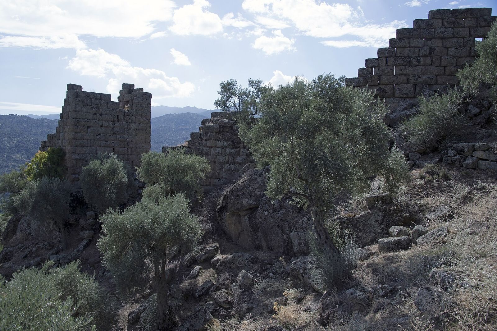
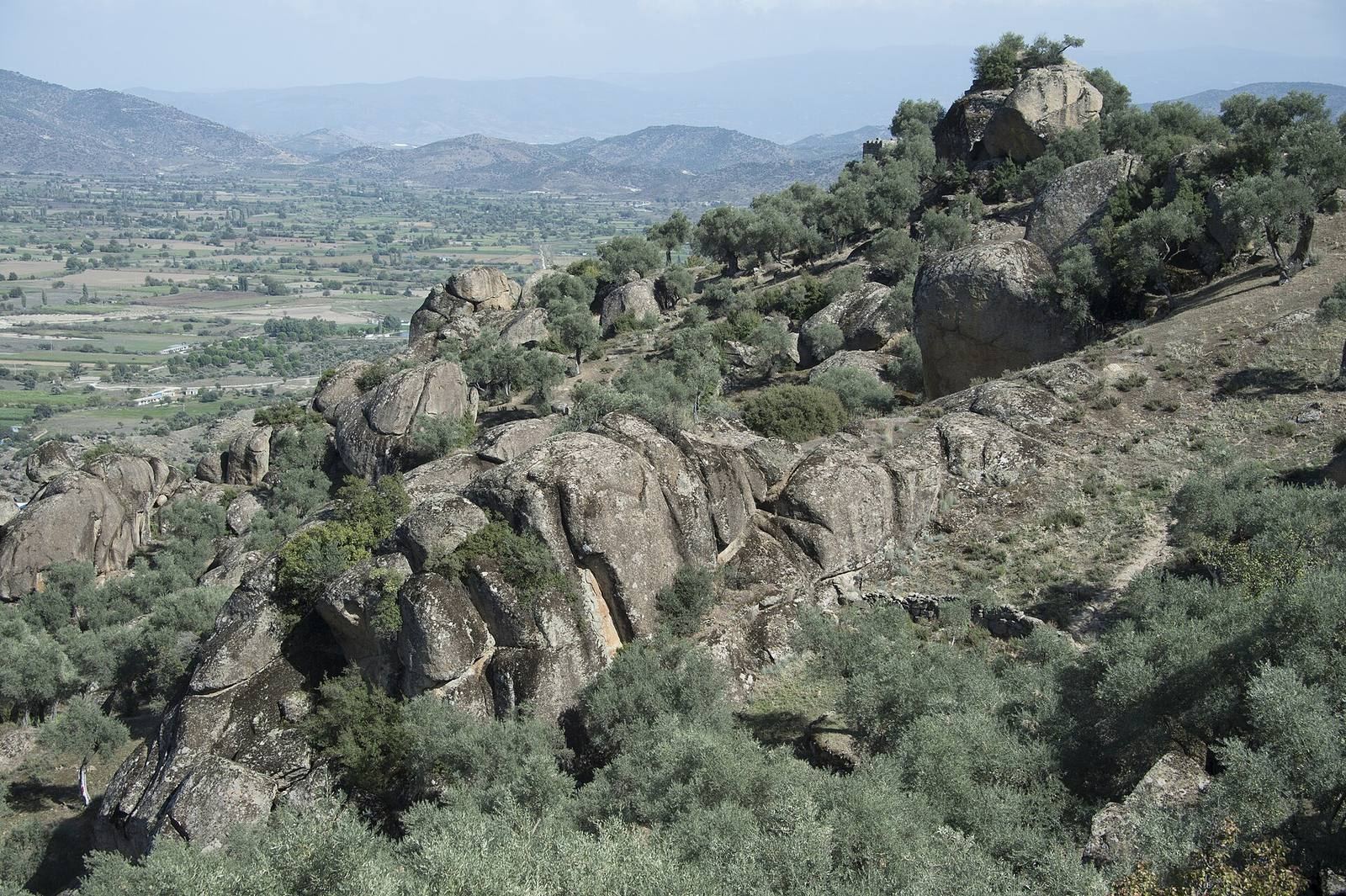
The unrestored ruins occupy two ridges above Karpuzlu, overlooking a fertile plain, and are very well preserved. The main layout includes a strongly fortified upper area on the western ridge and a lower fortified area extending down the slope to the east. Late Classical defenses and Byzantine alterations form the principal phases of the surviving fortifications.
Fortifications and water supply
Upper and lower defenses
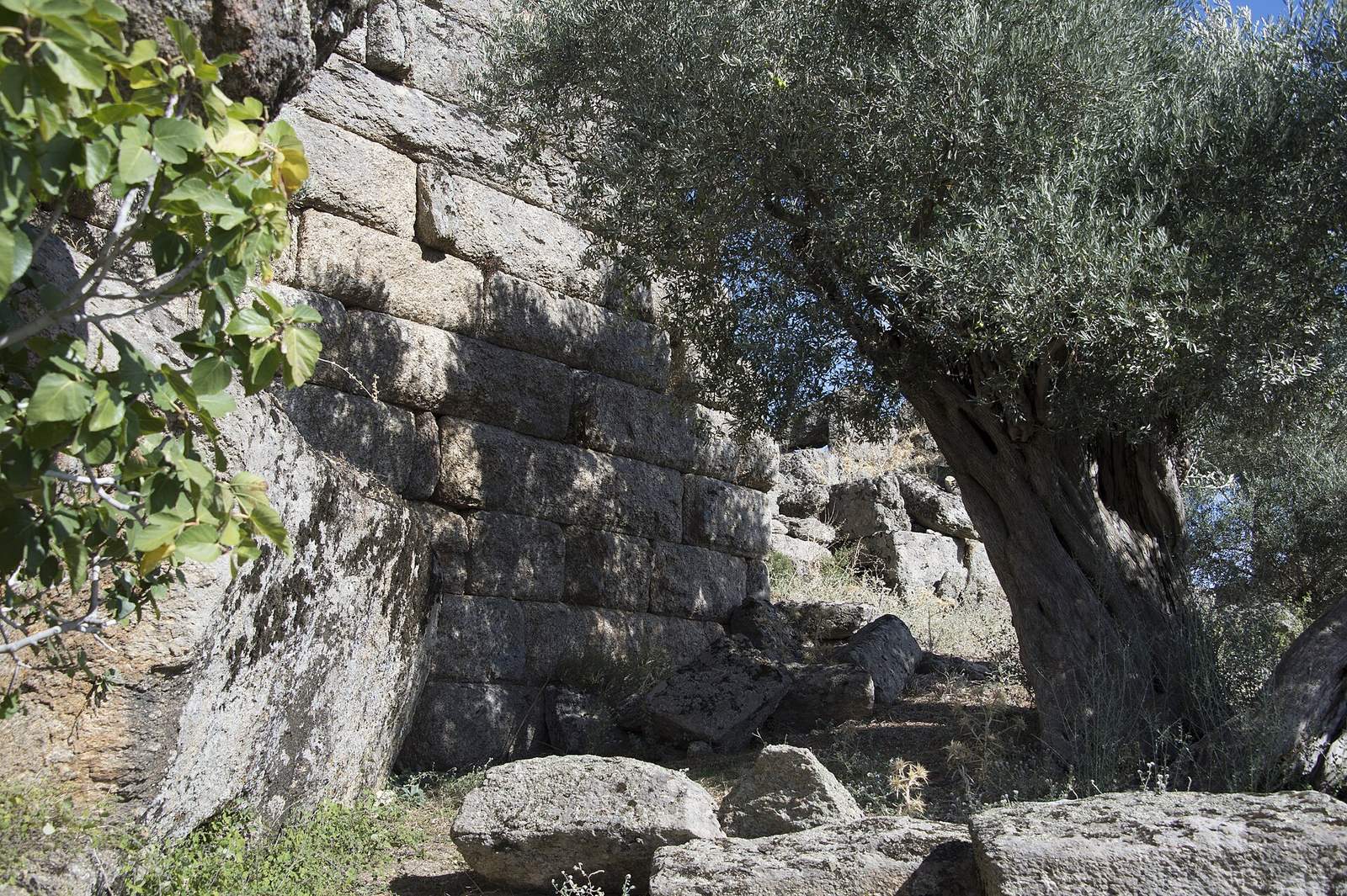
An enclosing wall protects the upper city, while defenses also surround the lower settlement. A projecting defensive platform stands on the southern slope in front of the fortified areas and connects to the lower one through a gate complex. The walls date to the Late Classical period, with later Byzantine changes and additions.
Roman aqueduct
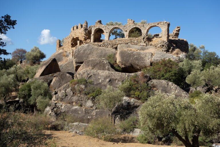
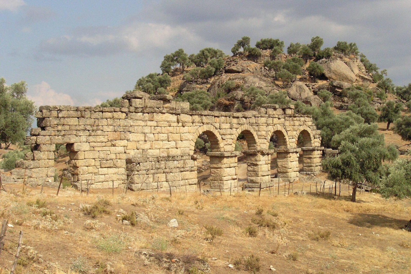
A Roman aqueduct, a structure that carries water, survives west of the upper city. Its visible section extends for about 45 meters and includes four complete arches and part of a wall with a gate. Stones still partly cover the channel along the top of the aqueduct.
Public and performance buildings
Agora and long building
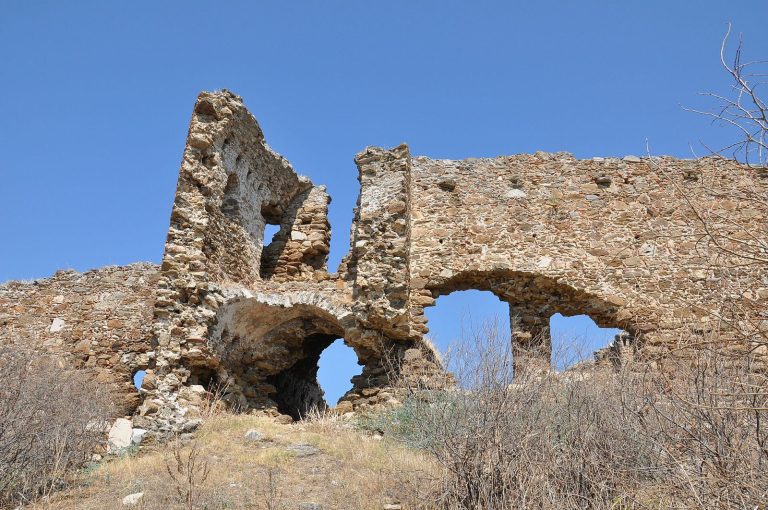
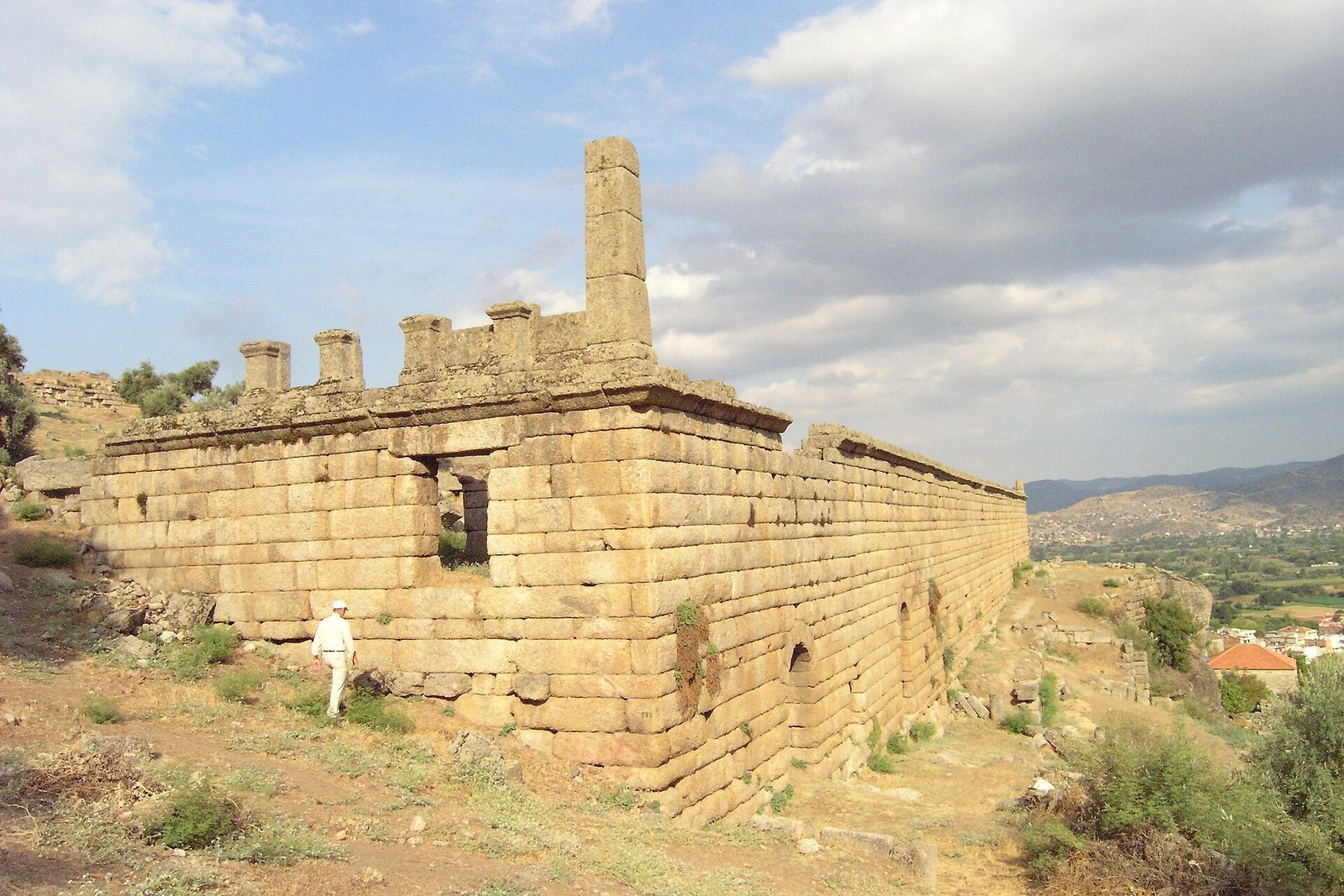
The nearly intact agora, a public civic and commercial space, measures about 30 meters across. Along it stands a building about 90 meters long, formerly three stories high. It is interpreted as a line of storage rooms and shops. Its outer wall survives on the lowest two levels. Divided cellar rooms opened at ground level toward the valley, while the floor above opened onto the agora. Sockets in the outer wall and surviving pillars indicate an upper story. The arrangement has also been compared with that of roadside inns called caravanserais, with storage below, stabling at ground level, and living rooms above.
Theater
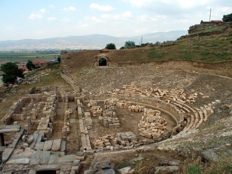
The theater stands higher on the slope and faces southwest. It is in relatively good condition and had a capacity of about 5,000 people. The retaining wall around the seating area and the side retaining walls use Hellenistic ashlar masonry, made from carefully cut stone blocks.
Temple and burial remains
Temples
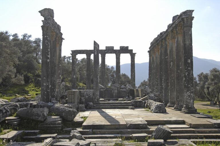
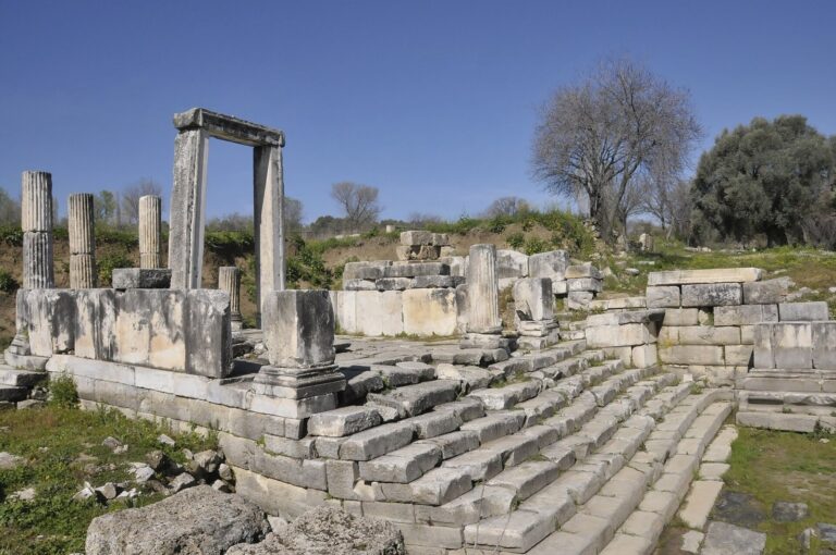
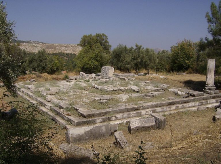
Foundations of a small temple occupy the highest plateau of the lower city. Its side walls extend forward to frame the entrance, a design known as an anta temple. Remains of numerous other ancient temples are also present. Stephanus of Byzantium described an Alinda temple of Apollo that held a statue of Aphrodite attributed to Praxiteles, a prominent Greek sculptor. The statue may have been confused with the Aphrodite of Cnidus, or may have been a separate work.
Burial area
The cemetery lies north of the upper city, across a flat mountain saddle. It contains numerous Carian stone sarcophagi and tombs cut directly into the bedrock. Part of the cemetery has been excavated.