Aït Benhaddou: A Fortified Ksar on Morocco’s Caravan Route
Site at a Glance
- Country
- Morocco
- Primary era
- Early Modern
- Eras represented
- Medieval, Early Modern
- Civilizations
- Almoravid
- Site type
- Military
- Remains
- Fortified Town
On this page7 sections
History
Fortification and the caravan route
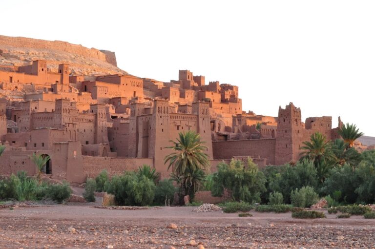
Aït Benhaddou is a fortified village, known as a ksar, in Morocco’s Ounila Valley, on the former caravan route between the Sahara and Marrakesh. The site had been fortified since the 11th century, during the rule of the Almoravids, a Berber Muslim dynasty that governed parts of North Africa and Iberia. Its position on a major trans-Saharan trade route gave the settlement strategic importance.
The route crossed the Atlas Mountains at Tizi n’Tichka pass, one of the few passages linking Marrakesh with the Dra’a Valley at the Sahara’s edge. Other fortified settlements stood along the route, including Tamdaght to the north.
Decline and modern care
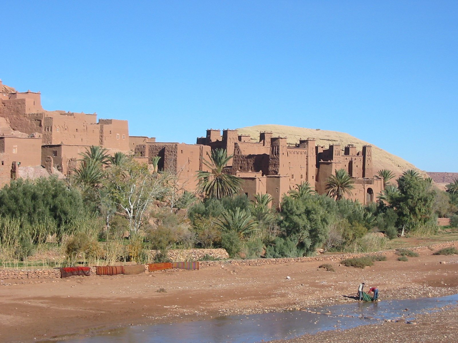
The settlement’s strategic importance diminished during the 20th century, and its population declined. A few families still live in the historic ksar, while most local residents live in the modern village across the river. A pedestrian bridge completed in 2011 connected the two; it was intended to improve access and might encourage people to return to their historic homes.
UNESCO added Aït Benhaddou to its World Heritage List in 1987 under cultural criteria (iv) and (v). Modern restoration, carried out in part in connection with film production and the World Heritage inscription, has been accompanied by a plan to maintain the traditional mud-and-wood buildings. A local committee oversees the site. Continued use of traditional materials and techniques, along with a general avoidance of new concrete construction, has helped preserve the settlement’s architectural character.
Remains
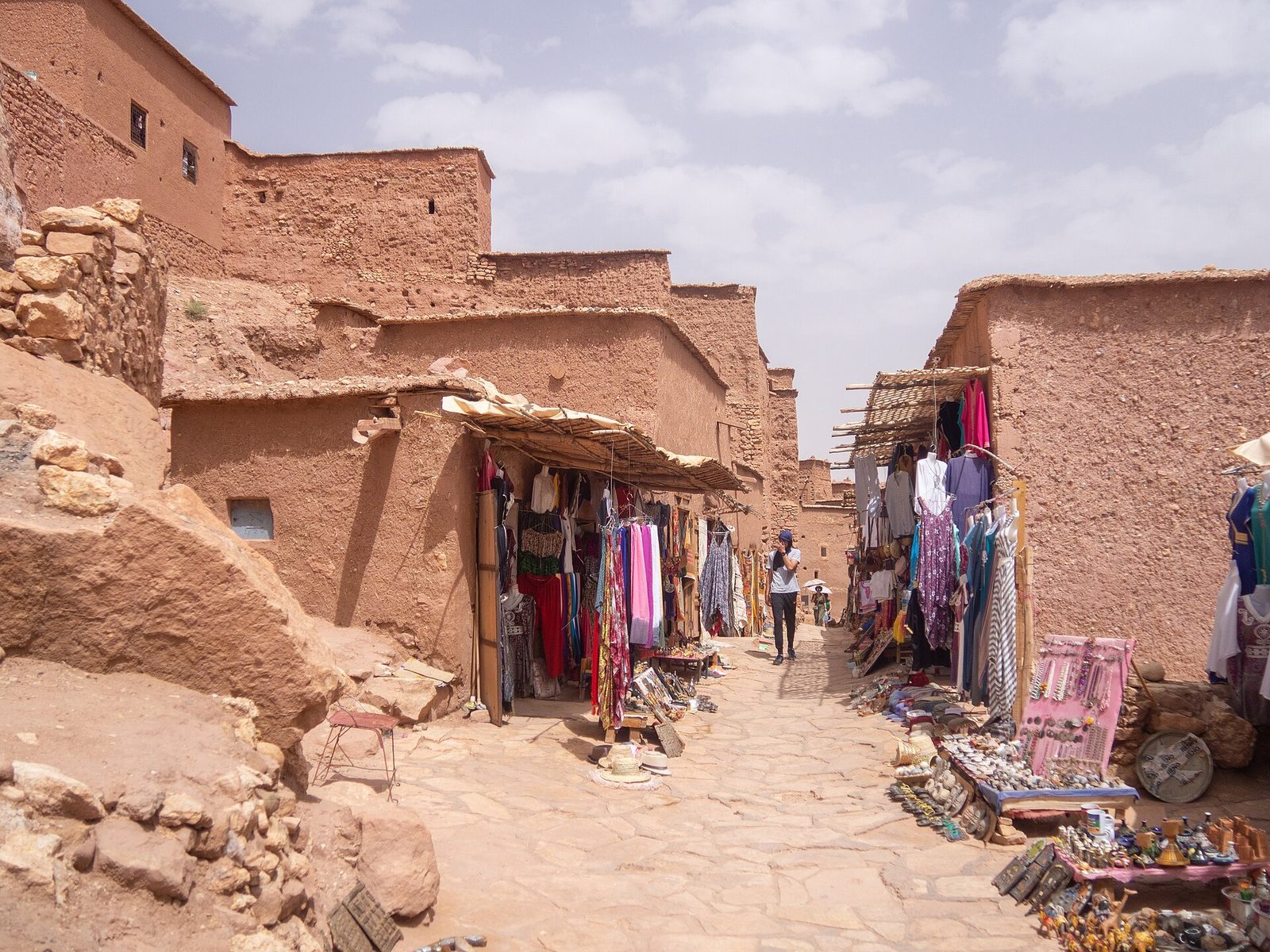
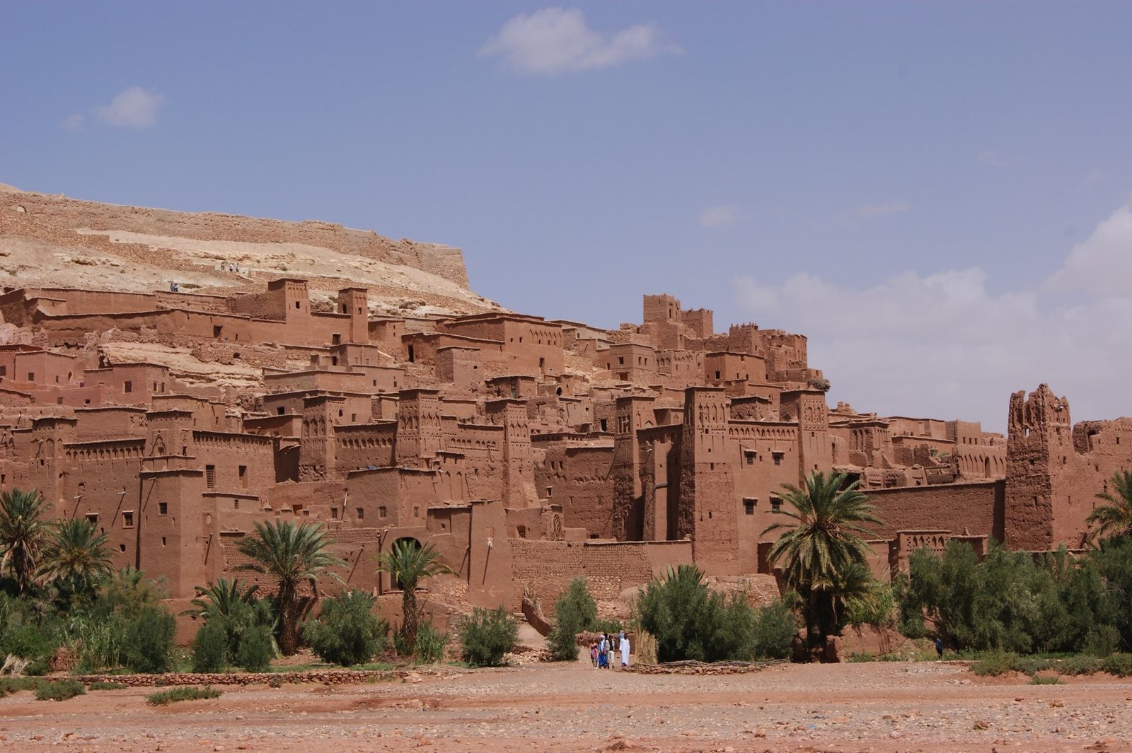
The ksar occupies a hillside beside the Ounila River, above an oasis in Ait Zineb. Its buildings, made from earth-based materials and wood, are arranged within a defensive boundary around a citadel.
Walls, citadel, and dwellings
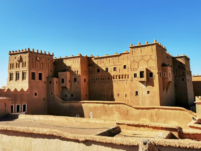
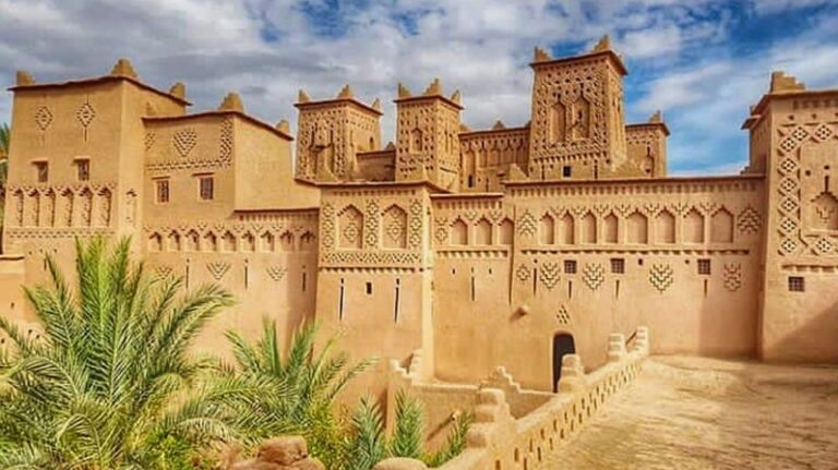
A defensive wall with corner towers and a gate encloses the settlement. Decorated towers and zigzag entrances form part of its defenses. Within the walls, dwellings range from modest houses to tall buildings with towers. Larger houses are arranged around square courtyards, while four high towers at the citadel’s corners mark its central stronghold. Geometric patterns decorate the upper parts of some buildings. Connected attics in the houses served as a final defensive line during a siege.
Communal and agricultural features
The settlement includes a mosque, a public square, several kasbahs (fortified complexes), and a caravanserai (lodging and services for travelers and their caravans). A marabout, a shrine associated with a revered Muslim holy person, is linked with Sidi Ali or Amer. A Muslim cemetery and a Jewish cemetery are also within the walls. At the top of the hill, the remains of a large fortified communal granary overlook the ksar. Land outside the walls was used to grow and thresh grain.
Construction and condition
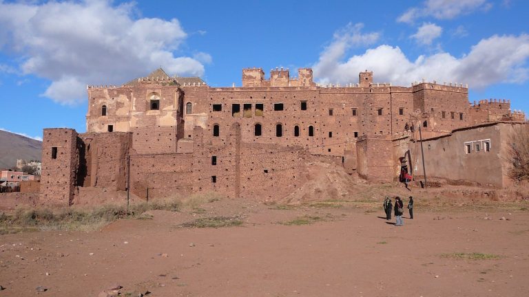
The oldest structure at the site dates to the 17th century, and no present building is thought to be older. The buildings likely use methods and designs practiced in the region for centuries. Construction materials include rammed earth, made by compacting soil and mud, adobe bricks, clay bricks, and wood. In taller buildings, builders used rammed earth up to the first floor and lighter adobe above it to reduce the load on the walls. Earth-and-straw mixtures used in the region are permeable and erode in rain, while rammed-earth structures require regular maintenance. Buildings of this type can begin to crumble within decades of abandonment. After the September 2023 earthquake, cracks and partial collapses were identified, with further collapse considered possible. Some visible architectural elements were made for film productions, and remnants of other structures built for those productions also survive.