Addington Long Barrow: An Early Neolithic Burial Monument
Site at a Glance
- Popularity
- Medium
- Country
- United Kingdom
- Primary era
- Stone Age
- Eras represented
- Stone Age
- Civilizations
- Unclassified
- Site type
- Burial
- Remains
- Burial Mound
On this page10 sections
History
Neolithic origins
Addington Long Barrow is an Early Neolithic burial monument in the United Kingdom, probably built during the fourth millennium BCE by pastoralist communities. A long barrow is an elongated earthen burial monument, often containing a chamber. The builders belonged to communities that raised livestock, soon after farming reached Britain from continental Europe. Addington forms part of the Medway Megaliths, a group of Neolithic monuments along the River Medway. It belongs to the western cluster with Coldrum Long Barrow and Chestnuts Long Barrow.
The Medway monuments were part of a broader Early Neolithic tradition of chambered long barrows in western Europe. Their design origins remain disputed. Archaeologists have proposed connections with the Low Countries, Scandinavia, Germany, the Cotswold-Severn tradition of southwestern Britain, and the Atlantic coast, including Ireland or Brittany. Paul Ashbee compared the group with northern continental European traditions of monuments combining burial and ritual, but considered a precise origin impossible to establish.
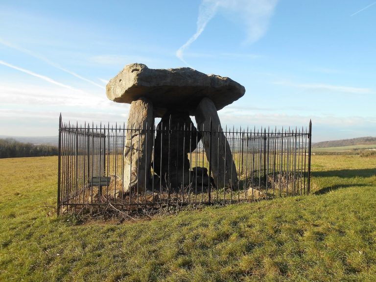
Addington may have served as a communal burial place and a setting for rituals honoring the dead. Other proposed interpretations include use as a shrine or as a marker of territory or herding routes, but these remain possibilities rather than established functions. Some interpretations connect the construction of such monuments with changing ideas about land and ancestors as communities moved from Mesolithic hunting and gathering toward Neolithic pastoralism.
Decline and possible destruction
After the Early Neolithic, the monument fell into ruin. Some sarsen stones were covered over, while others remained visible; sarsens are hard stones formed from Eocene sand. Stones from the monument may also have been reused in local buildings. Ashbee suspected that some were broken up for nineteenth-century repairs and extensions to the parish church. By the nineteenth century, a small road crossed the mound, and workers widened and deepened it in 1827.
The destruction of the chamber has no certain explanation. Ashbee suggested that medieval Christians might have damaged it deliberately as an act of iconoclasm, the religiously motivated destruction of monuments. John Alexander instead proposed that medieval treasure hunters dismantled it, perhaps with the involvement of a special commissioner. He compared the thorough damage at Chestnuts with a 1237 order to open barrows on the Isle of Wight in search of treasure, and suggested that the practice may have extended to Kent.
Early accounts and local traditions
John Harris’s account, published after his death in 1719, recorded the local name “the Warren” and a claim that an oak had once grown among the stones. In 1773, Josiah Colebrooke asked residents about the tree. He mistakenly described the monument as a stone circle and proposed that Britons defeated at the fifth-century Battle of Aylesford had retreated nearby and buried their leader, Categern. John H. Evans later judged Colebrooke’s description and drawings unreliable.
Local traditions also held that the stones could not be counted successfully. Evans recorded the belief in 1946 as having persisted locally until the preceding generation; folklorist S. P. Menefee suggested that it reflected a belief that megaliths were animate. Around 1850, a local man helping the antiquarian Thomas Wright believed that a crock of gold lay buried at the site. In 1893, George Payne recorded a tradition that stone avenues connected Addington with Coldrum.
Antiquarian study and archaeological investigation
In the early 1840s, the Reverend Beale Post included Addington and Chestnuts in an unpublished account that called them the “Addington Circles.” In 1845, the Reverend Lambert Blackwell Larking dug into a chamber and found pottery fragments, though it is uncertain whether he was working at Addington or Chestnuts. Antiquarians Charles Roach Smith, Charles Warne, and Charles Moore Jessop visited in the early 1860s. Edwin Dunkin made a plan in 1871, and Flinders Petrie produced another in 1880, correcting the earlier interpretation of the monument as a stone circle.
George Clinch’s 1908 photographs were the earliest published images of the monument. O. G. S. Crawford included it among the Medway Megaliths in 1924, and Ronald F. Jessup described it as mostly overgrown in 1970. A measured survey by the Kent Archaeological Rescue Unit in 1981 revised the recorded number of stones. In 2005, Ashbee noted metal-detecting activity at the site. Road subsidence led to an investigation in 2007, which traced the problem to rabbit burrows beneath the tarmac and clarified the effects of earlier road work.
Remains
The surviving monument consists of an elongated earthen mound, an enclosing line of large stones, and a chamber area at the northeast end. A road cuts through the middle. The site lies on the Lower Greensand, a geological formation in southeastern England, about 250 metres north of Addington Parish Church.
Surviving layout
Mound and kerbstones
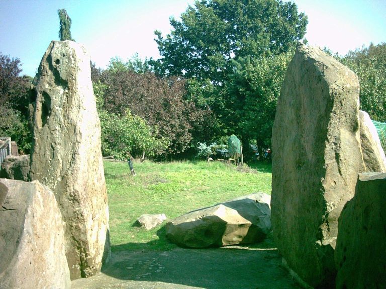
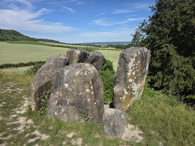
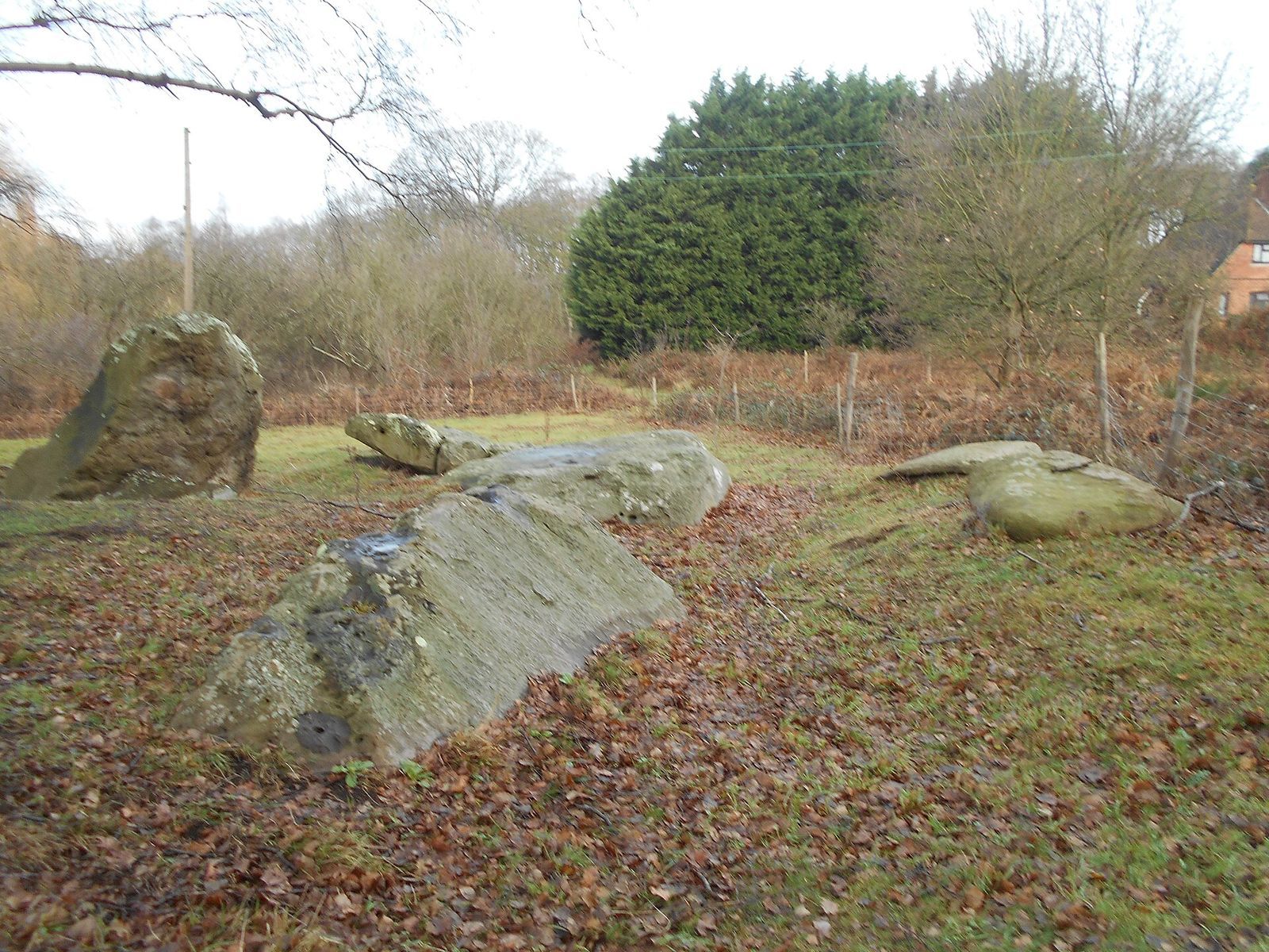
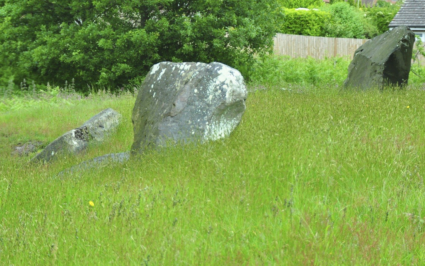
The mound follows a northeast-to-southwest alignment and has a rectangular, elongated plan. Originally about 60 metres long, it had straight sides and narrowed from roughly 14 metres wide at the eastern end to 11 metres at the western end, giving it a wedge-like form with a truncated end. The surviving mound rises about 1 metre, though it was once considerably taller. Kerbstones, stones arranged along a mound’s edge, enclosed it. The builders used local sarsen, a dense, hard stone.
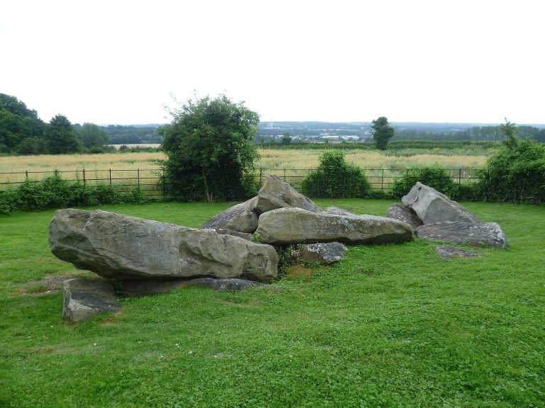
Evans counted 22 sarsens in 1950 and considered eight at the northeast end to be parts of the original chamber. The 1981 survey identified 25 stones. The monument’s dimensions suggest that its original construction may have used about 50. Its long, narrow mound is a distinctive form within the Medway group.
Burial chamber
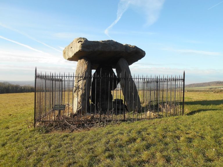
The chamber at the northeastern end was pulled down, while much of the mound survived. Fallen stones at that end may represent the chamber’s remains. Jessup proposed that it was a false portal, a doorway-like feature that does not provide access to a chamber, and Glyn Daniel supported this interpretation. Medway long-barrows generally had a stone chamber at the eastern end and probably a stone front beside the entrance; chambers in the group could reach internal heights of 3 metres.
Road and displaced stones
The road passes through the center of the mound. Two kerbstones moved during the 1827 road works were placed in woodland to the south. Another sarsen, which earlier records show once stood upright, was found buried where it had originally stood after nineteenth-century road work.