Countless Stones: A Neolithic Burial Monument in the Medway Valley
Site at a Glance
- Popularity
- Medium
- Country
- United Kingdom
- Primary era
- Stone Age
- Eras represented
- Stone Age
- Civilizations
- Unclassified
- Site type
- Burial
- Remains
- Burial Mound
On this page8 sections
History
Neolithic construction and use
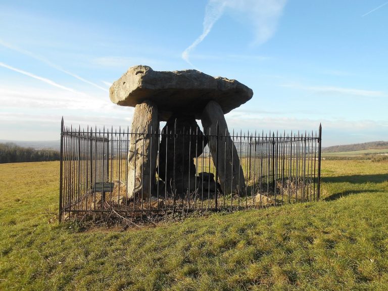
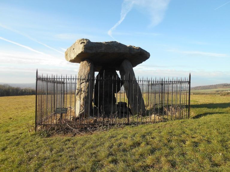
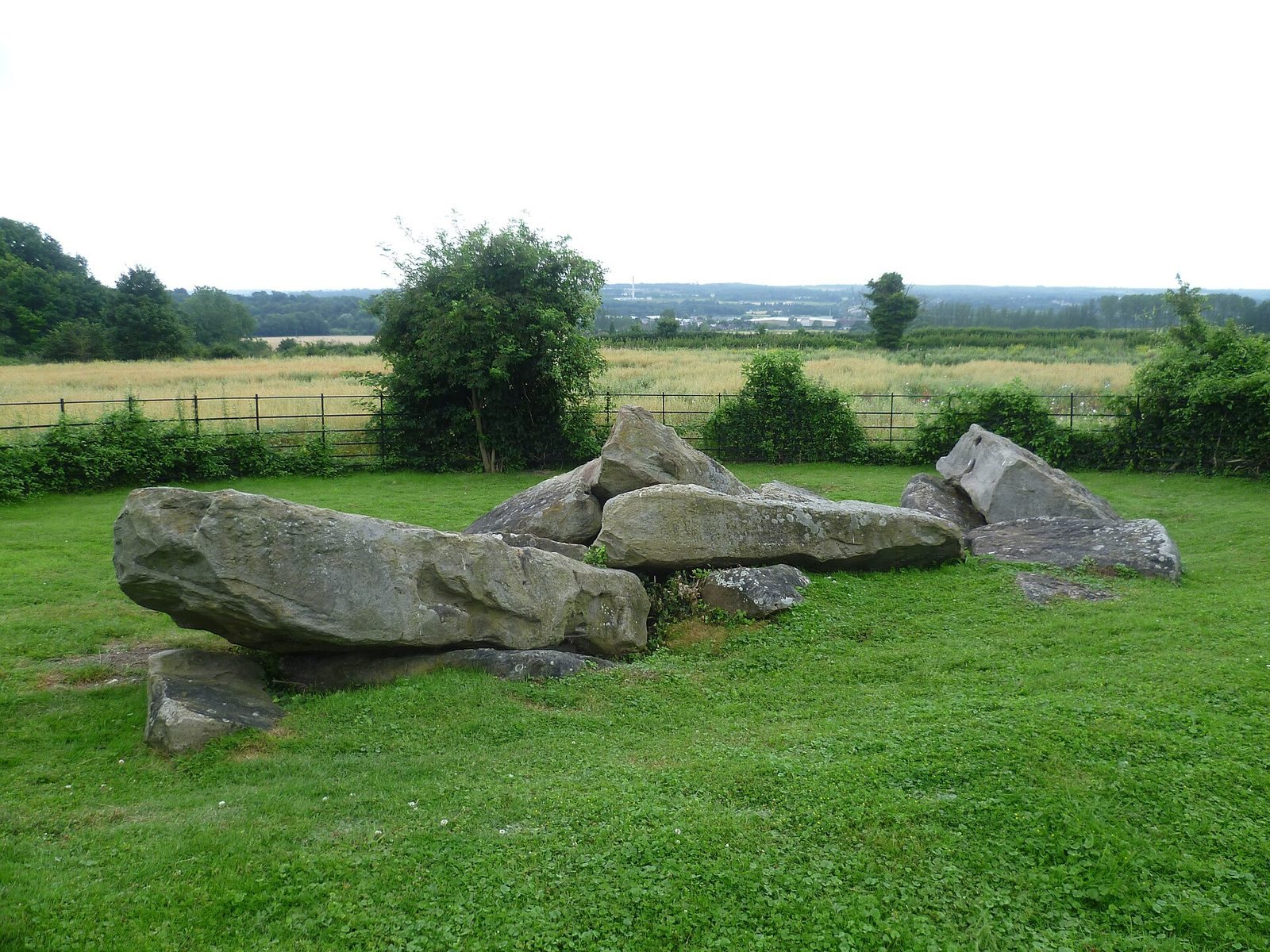
Countless Stones, also called Little Kit’s Coty House and Lower Kit’s Coty House, is a Neolithic burial monument on the eastern side of the River Medway in the United Kingdom. Pastoralist communities built it around 4000 BCE, during the Early Neolithic, when farming was becoming established in Britain after arriving from continental Europe. It was a long barrow, an elongated mound of earth with a burial chamber at one end.
The monument belongs to the Medway Megaliths, a group of prehistoric sites in the Medway valley, and forms part of the group’s eastern cluster. Its precise architectural origins remain uncertain, although possible connections with several parts of Europe have been proposed. The structure is understood as a tomb. Some interpretations also regard Medway monuments as communal places for rites honouring the dead and seeking their assistance, perhaps as part of a broader reverence for ancestors.
Collapse and early accounts
By the time William Stukeley visited in 1722, the stones had fallen. Hercules Ayleway recalled that the chamber had been taken apart roughly three decades earlier. He described its wall stones as touching and placed the entrance on the west, beside the road. Leslie Grinsell later suggested that the toppling happened around 1690.
An earlier description, written by Thomas Gale and preserved in a manuscript John Aubrey compiled between 1663 and 1693, counted 13 or 14 large stones. Gale described seven standing beneath a single large block, with the others already down. Stukeley drew the monument in 1722 and attempted to show its original arrangement, but his depictions differ from one another and do not match Ayleway’s account of a western entrance. His drawings therefore leave the earlier layout uncertain.
Later explanations for the damage also disagreed. A suggestion made in 1773 blamed a farmer who dismantled the stones for road-building material, though the blocks were said to be too large to use. In 1782, Edward Hasted proposed that treasure seekers had caused the collapse; later in the century, John Thorpe instead suggested the stones had been taken for paving at a dockyard. In the early 1840s, the Reverend Beale Post argued that a burial cavity had failed and that weather subsequently brought down the chamber.
The name “Countless Stones” appears in references from the 1840s. It reflects a local tale that the fallen blocks could not be counted, with stories of misfortune befalling those who tried. A belief noted in 1722 held that this monument and Kit’s Coty House commemorated rival kings of Kent killed in battle.
Recording and protection
Antiquarian records continued to differ: Edward Rudge illustrated the site in 1824, while Edwin Dunkin published a plan in 1871 that presented it differently. George Payne described the stones in 1893 as a fallen prehistoric tomb and considered whether nearby scattered megaliths might belong to this monument or to another destroyed site. F. J. Bennett published a sketch plan in 1907, George Clinch photographed the stones in 1908, and O. G. S. Crawford included the monument in his 1924 listing of the Medway Megaliths.
After Augustus Pitt Rivers visited in 1883, landowner H. A. Brassey expressed support for protecting both Kit’s Coty sites under the Ancient Monuments Protection Act of 1882, an early British law that provided protection for selected ancient monuments. Countless Stones received protected status in 1897. Archaeological work continued with evaluation trenching in 1989 and observations during a pipe trench beside the site in 1994. Research in 2014 also noted modern Druid activity at the monument; at least one practitioner disliked holding rituals there because of noise from nearby power cables.
Remains
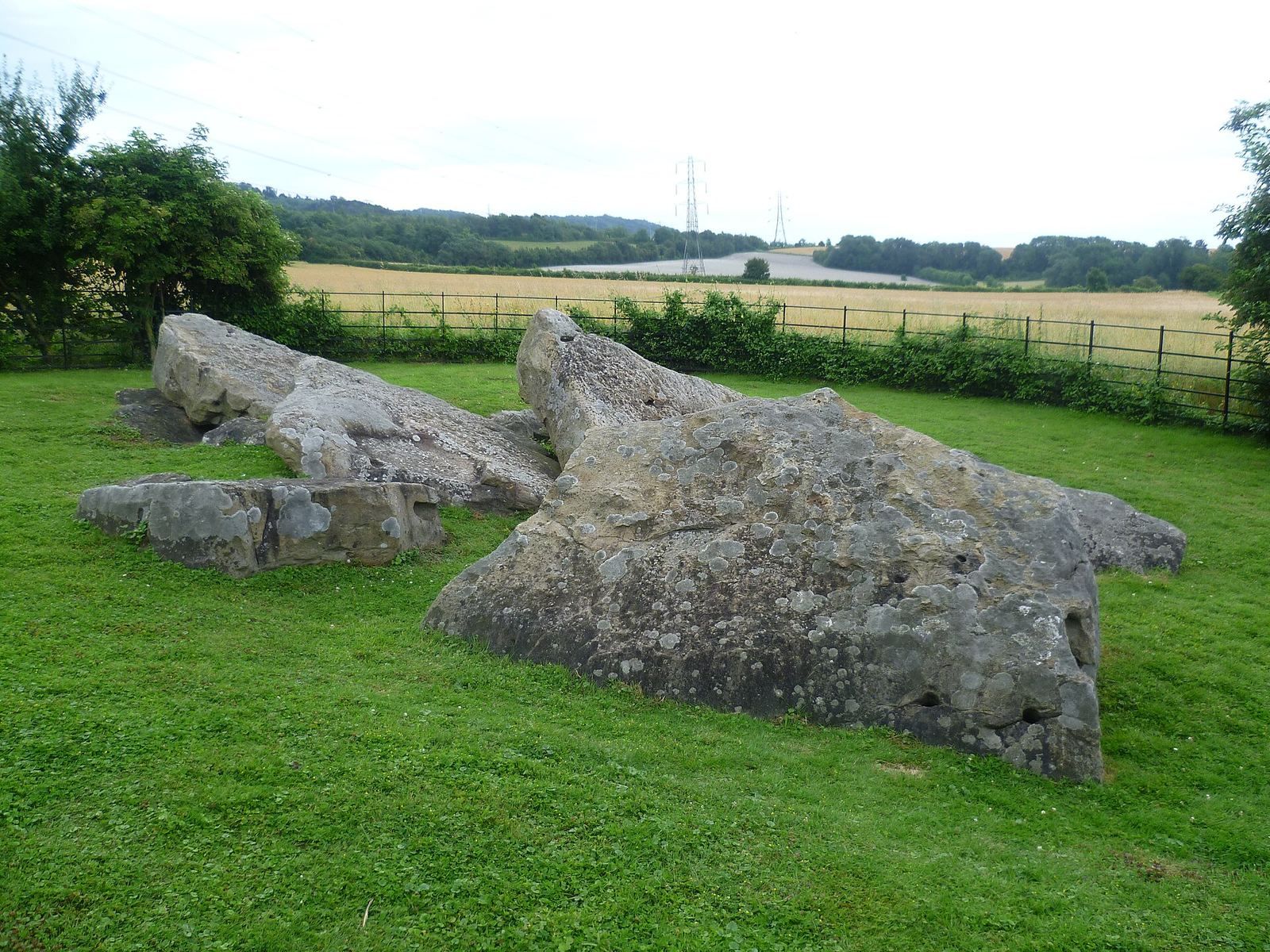
The monument’s remains are a partly buried scatter of large sarsen blocks, a hard sandstone that occurs naturally in Kent. The original monument is understood to have combined an elongated rectangular earth mound with a stone chamber at its eastern end. Medway long barrows generally ran from east to west, and their entrances probably had stone façades on either side.
Mound and chamber
Paul Ashbee estimated the chamber at about 5.2 metres long, 2.4 metres wide, and 2.7 metres high, using measurements of the surviving blocks. Timothy Champion proposed that the mound was at least 20 metres wide and might have exceeded 90 metres in length. These are estimates, and the surviving arrangement does not establish the monument’s exact original plan.
Surviving sarsen stones
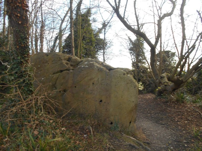
Between 19 and 21 stones remain in the ruin, with an assessment in 2005 counting about 21. The builders selected and transported local sarsen blocks. Some surviving stones are thought to have belonged to the chamber and others to its façade. From the east, their positions suggest that many fell northward from where they originally stood.
Other archaeological traces
A pipe trench beside the monument in 1994 exposed a ditch beneath cultivated soil and sediment washed down the slope. Edward Rudge’s 1824 note reported that digging below one of the stones had revealed human bone and armour.