Kingdom of Pontus: Sites and Map
Pontic sites connect inland royal centres with the southern Black Sea coast and Crimea. Their castles, rock-cut tombs and garrison remains show how rulers used steep terrain, valleys and coastal positions to support a kingdom whose influence extended around the sea.
Primary Function: All
Type: All
Country: All
Popularity: All
Rating: All
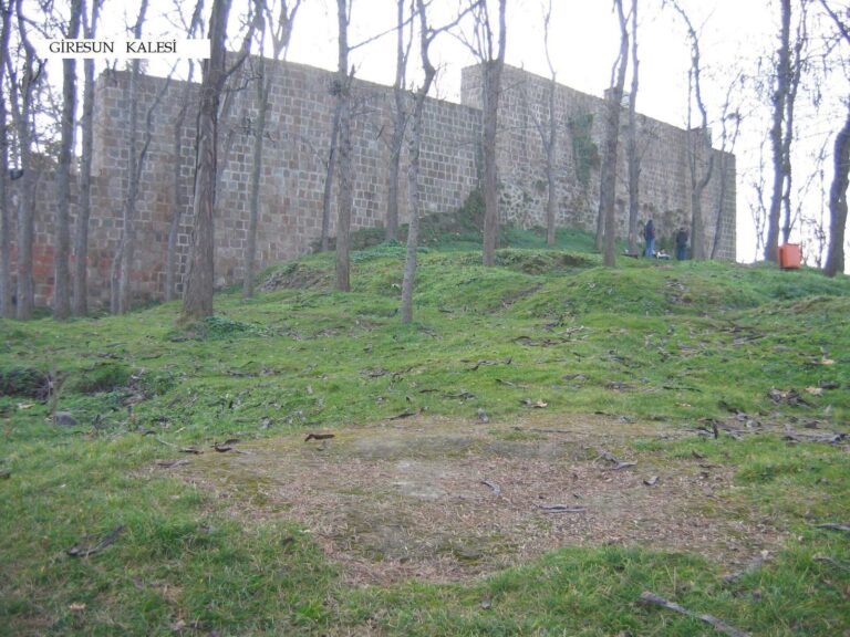
Giresun Castle is a hilltop fortress in Giresun, Türkiye, with origins attributed to the 2nd century BC Kingdom of Pontus. Its surviving walls and…
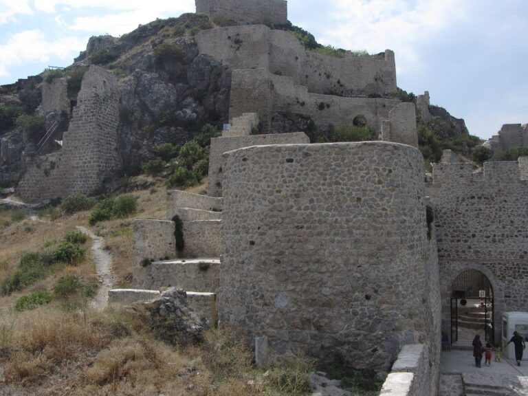
Amasya Castle, also known as Harşene Castle, occupies the rocky slopes of Mount Harşena above the Yeşilırmak River. Its remains reflect Pontic,…
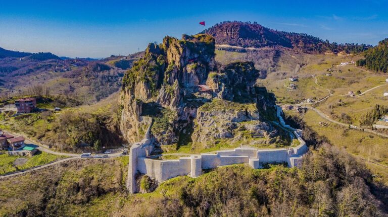
Ünye Castle, also known as Çaleoğlu Castle, is an ancient fortress near Ünye in Turkey with a history extending back about 2,500 years. Its remains…
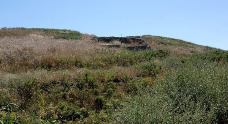
Oluz Höyük in Amasya preserves an occupation sequence from about 4500 BCE to the medieval period, including Hittite, Phrygian, Persian, Hellenistic,…
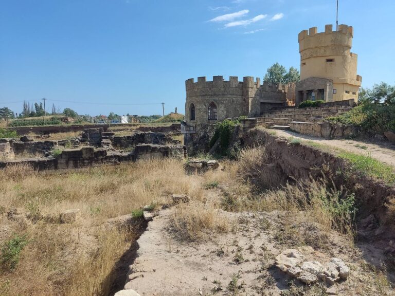
Kara-Tobe Castle was a Greco-Scythian settlement near Saky, occupied from the fourth century BCE to the beginning of the second century CE. Its…
For details on how to use the maps, which sites are included, how popularity and ratings are determined, and how sites are classified, see the help page.
On this page4 sections
Amasya: a royal centre above the river
At Amasya, the Harşena fortress rises above the Yeşilırmak valley. The city was an early capital of the Pontic kings, and rock-cut royal tombs occupy the cliff below the upper stronghold.
The tomb fronts and chambers were carved directly into the rock, giving royal burial a prominent place above the settlement. The fortress used the same difficult terrain for defence, with cisterns and cut passages helping sustain occupation. Its surviving walls include later rebuilding, while the royal tombs provide the clearest connection with the Pontic dynasty.
Giresun: a fortified coastal height
The castle at Giresun occupies a hill on a peninsula projecting into the Black Sea. Its development is associated with the Pontic rulers, including the city’s connection with Pharnaces I in the second century BC.
Stone fortifications protected a commanding coastal position. Their present form also incorporates later Roman and medieval work, reflecting the continued military usefulness of the headland. The setting explains why a coastal ruler would value the place: the elevated enclosure overlooked both the nearby settlement and the approaches from the sea.
Ünye: stairs and water storage within the rock
Ünye Castle stands inland on a steep rock mass near the Black Sea coast. Cut stairways, passages and water-storage features form part of the stronghold, together with a rock-cut tomb.
The combination of natural height and excavated access routes helped turn a difficult outcrop into an occupied fortified place. The cut passages allowed movement through the rock, while stored water helped sustain the occupants. As at Amasya and Giresun, later rulers continued to use and alter the stronghold.
Kara-Tobe: a Pontic garrison in Crimea
Kara-Tobe in Crimea was fortified by forces associated with Mithridates VI in the late second century BC. The stronghold had a roughly square layout, with a central tower and rooms arranged around its internal spaces.
It formed part of the king’s intervention in the northern Black Sea region, where military power supported his wider interests beyond Anatolia. Later Scythian occupation changed the settlement again. The garrison remains nevertheless give the map a concrete northern counterpart to the royal and coastal strongholds on the southern shore.
The map and grid link to the individual stronghold articles, with fuller descriptions of their tombs, passages and defensive remains.