Castle of Rebordãos: A Medieval Fortress in Portugal
Site at a Glance
- Rating
- 4.6
- Popularity
- Very Low
- Country
- Portugal
- Primary era
- Medieval
- Eras represented
- Medieval
- Civilizations
- Portuguese
- Site type
- Military
- Remains
- Castle
On this page6 sections
History
Foundation and frontier settlement
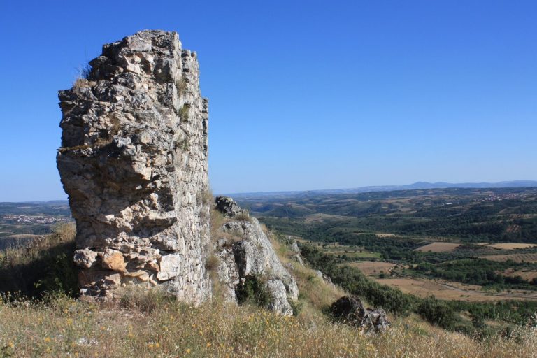
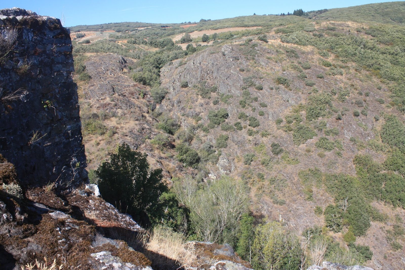
Castle of Rebordãos is a medieval fortress in Portugal, in the parish of Rebordãos near Bragança. It appears to have developed during a 13th-century public-works campaign connected with the consolidation of the northern frontier. Because it stands above a steep cliff with a clear view over the valley, it was also known as the Castle of Polecats, a metaphor for its elevated position.
In 1208, King Sancho I granted Rebordãos a foral, or settlement charter setting out local rights, duties, taxation, and administration. The charter formed part of Sancho’s efforts to strengthen royal authority and encourage settlement in northeastern Trás-os-Montes. His successor, King Dinis, later reaffirmed the charter for a nearby settlement and referred to Rebordãos. The extent and development of the fortress remain difficult to establish because so little of it survives.
Decline and later administration
Rebordãos may have served as a lookout or sentry post, although its medieval military importance is uncertain. Its defensive role apparently diminished over time, and the community associated with the castle seems to have abandoned the site in favour of a settlement farther southwest, where the milder conditions supported continued habitation. By the 16th century, this newer settlement had a municipal pillory and municipal house, indicating that the former castle of Sancho I had lost much of its administrative importance.
During the 20th century, the Abbey of Baçal identified remains of moats, walls, and possible internal habitation compartments. These discoveries led to the prospect of further archaeological investigation and excavation. On 1 June 1992, the ruins were placed under the stewardship of the Portuguese Institute for Architectural Patrimony by Decree 106F/92.
Remains
Setting and defensive walls
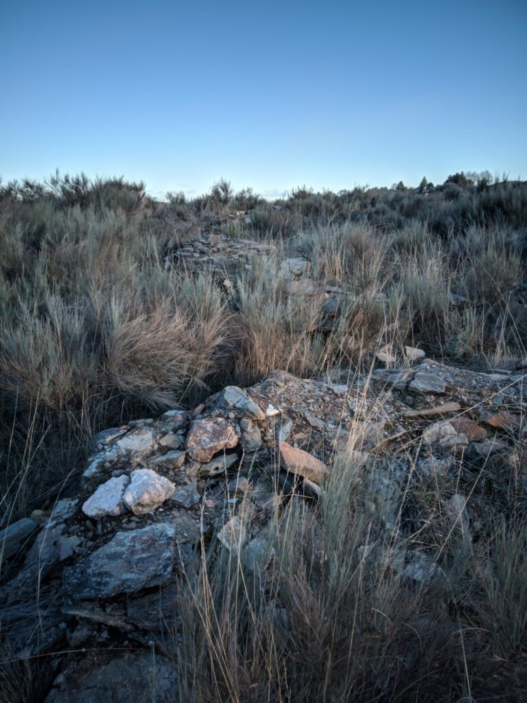
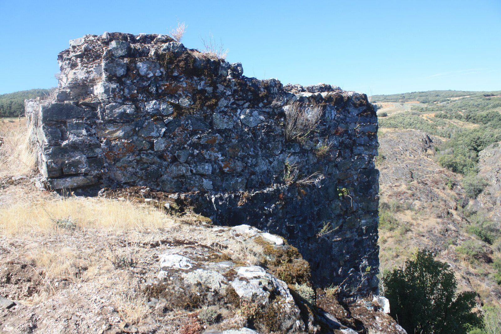
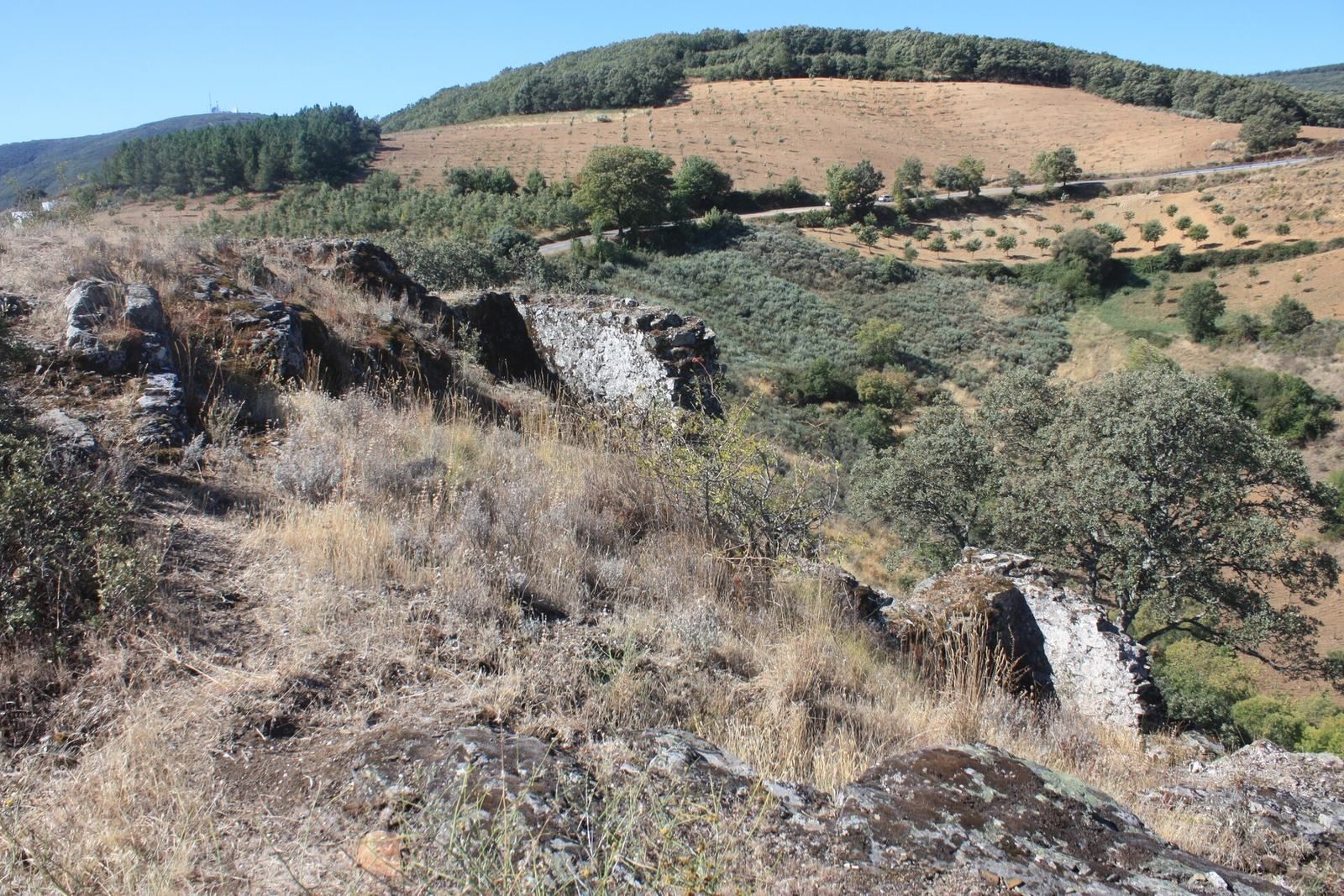
The ruins occupy a rural setting a short distance from the mountaintop, among granite outcrops and sparse vegetation. The elliptical plan follows the natural terrain rather than the more regular oval layouts associated with the military and administrative reforms of King Dinis and other Gothic castles in Trás-os-Montes and the Alto Douro.
Granite and mortar form the surviving curtain wall, the continuous defensive wall linking the fortress’s main defensive elements. It is approximately 1.5 to 3 metres thick. Moats and walls are also described as measuring about 1.5 metres in length and 3 metres in height. The remains are fragmentary, making the complete arrangement of the fortress difficult to reconstruct.
Entrances and interior defenses
Crags surround the approach to the mountaintop. Access was possible from the south, where the principal entrance stood, and from the east, toward the Serra de Nogueira and the southwest. Steep, rocky cliffs made the northern and western sides difficult to approach.
The interior defensive system appears to have been rudimentary and included a tower, although the ruined condition of the castle prevents its precise role from being established. Possible small compartments within the enclosure may have been habitation units or houses, but their function remains uncertain. Together with the moats and walls, these features provide the surviving evidence for the fortress’s defensive and residential organization.