Castell de Llorenç de Montgai: An Islamic and Feudal Frontier Castle in Spain


Site at a Glance
- Rating
- 4.8
- Popularity
- Very Low
- Country
- Spain
- Primary era
- Medieval
- Eras represented
- Medieval
- Civilizations
- Taifa Kingdoms
- Site type
- Military
- Remains
- Castle
On this page7 sections
History
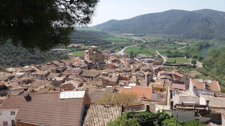
Castell de Llorenç de Montgai is a ruined castle in Spain above the present village of San Lorenzo de Mongay, in the municipality of Camarasa. Its occupation probably began before the tenth century, when it formed an Islamic fortified settlement, or hisn, and continued into the thirteenth century. The castle is classified as Romanesque architecture and is protected as a Cultural Property of National Interest.
Islamic frontier stronghold
The castle occupies a cliff projecting from the Sierra de San Cristóbal. During the Islamic period, it was an important hisn of the taifa of Lleida, an independent Muslim kingdom that emerged after the fragmentation of the Córdoba caliphate. It protected Balaguer from Christian nobles established to the north, controlled passage along the Segre River, and overlooked the Plain of Urgell.
The site has traditionally been associated with the place-name “Loribas,” mentioned by Ahmad al-Razi, a tenth-century Andalusi historian, and with “Lurinis,” cited by al-Udhri, an eleventh-century Andalusi geographer and historian. These references connect the castle with early medieval place-names, although the identification remains traditional rather than certain.
San Lorenzo was still under Muslim control in 1035, when it marked the southern boundary in a donation of Santa Linya Castle by Armengol II of Urgell and his wife, Constanza. By 1090, nearby Camarasa and Gerb had become Christianized, while San Lorenzo paid tribute to Gerb to retain its Muslim-controlled status. This arrangement, involving tribute payments known as parias, appears in a record dated 29 October 1091 that also concerned San Lorenzo, Castellón, Albesa, and other castles. A few years later, the counts of Urgell and Barcelona divided these territories between them.
Christian conquest and feudal control
The castle came under Christian control several years after the conquest of Balaguer in 1105, probably around 1115, when the castles of Os and Algerri also surrendered. Its importance then declined rapidly because the frontier system it had helped maintain had disappeared.
San Lorenzo remained involved in regional power struggles. In 1156, it was included in an arbitration between Armengol VII, count of Urgell, and Giraldo Ponce III, viscount of Cabrera, over control of several castles. In 1211, the site became the last refuge of Giraldo Ponce IV of Cabrera during his attempt to seize the County of Urgell from Countess Aurembiaix. The king of Aragon captured him there.
In 1229, Ponce I, count of Urgell and viscount of Àger, granted Guillermo de Cardona rights over the castle. By 1314, it belonged to the Viscounty of Àger, according to a document granting the County of Urgell to Teresa de Entença in free allodial tenure from King James II of Aragon. This form of property holding was not subject to feudal dues or service obligations. During the feudal phase, the fortified settlement shifted toward the lower part of the promontory and extended along the mountain’s eastern spur.
Remains
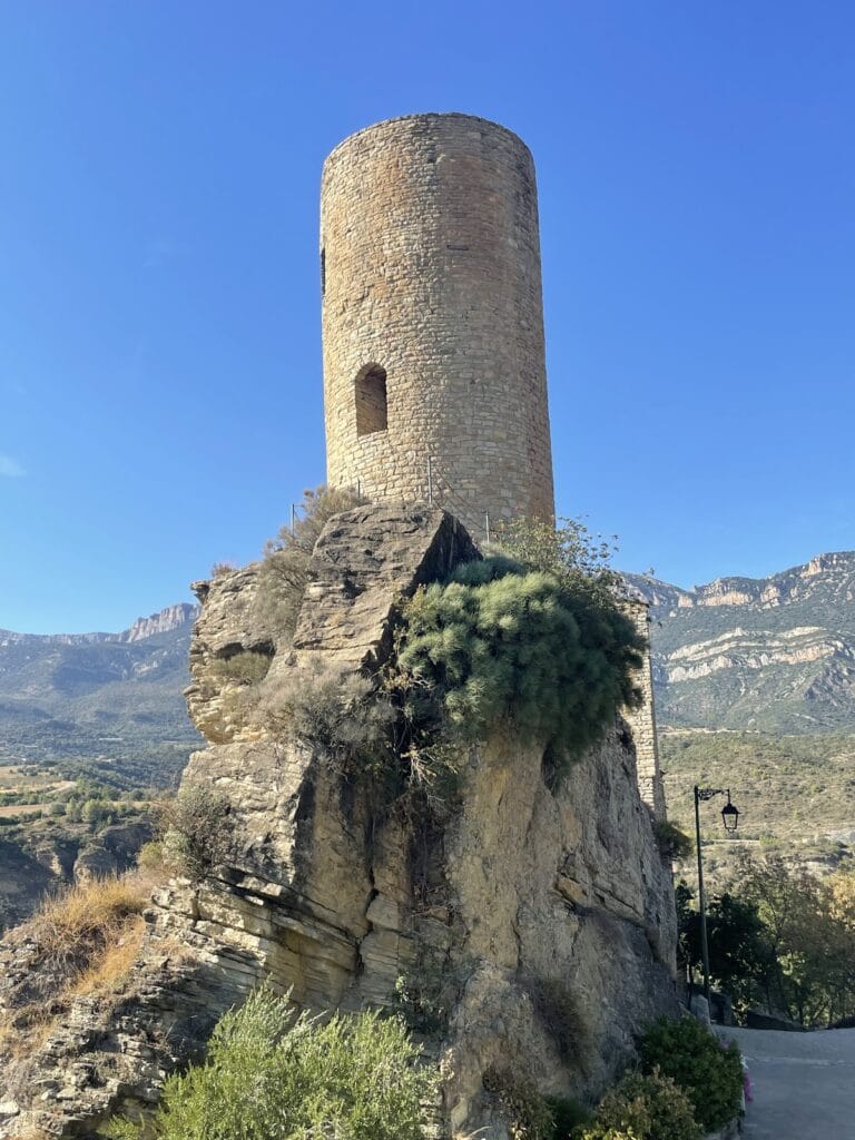
The surviving fortification occupies a steep promontory with cliffs on every side except the east, where the access route rises sharply. The Islamic-period enclosure has an irregular plan arranged on two levels set on different planes. Later defensive works and buildings extend onto the lower ground and the eastern spur, reflecting the settlement’s development during its feudal phase.
Islamic fortification
Remains of the perimeter wall survive at the northwestern angle and along the southern and western sides. On the eastern side, the outer ends of three projecting spurs retain traces that may represent roughly square towers. The wall was made from irregular masonry placed in formwork and bonded with rammed-earth mortar and lime. This construction surrounds the elevated part of the promontory, where the steep terrain provided much of the defensive structure.
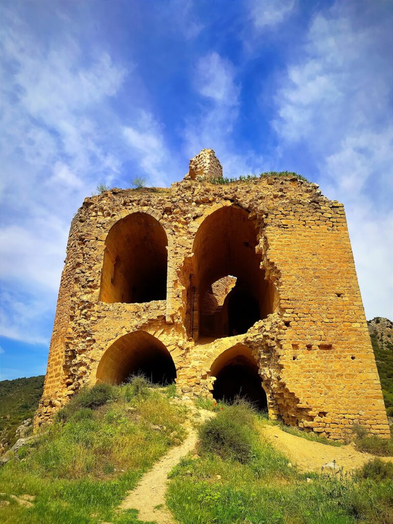
The upper level contains the remains of rectangular rooms, probably used as living quarters and storage areas. Their irregular masonry is bonded with lime-and-plaster mortar. The central chamber preserves traces of a shallow barrel vault formed over wooden planks, although this may be a later construction that reused earlier structures. Four rectangular cisterns were cut into the rock on the northern side of the upper level. A larger cistern of irregular masonry stands between the two eastern spurs, at the point where the access path to the fortification begins.
Feudal defensive works
The lower level contains a second defensive perimeter made up of an irregular polygonal tower and a wall section about 10.5 metres long. The wall uses carefully squared rectangular ashlar blocks in its lower portion, while its upper part was built with rammed-earth formwork. This work may belong to the feudal period.
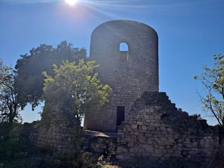
Another feudal defensive element lies about 150 metres from the church. It consists of a mound of rammed earth, pallets, and several carefully squared ashlar blocks, and may represent a fortified area with two towers. A further structure stands at the end of the eastern spur on a small elevated promontory. This slightly rectangular tower measures 4.40 by 4 metres and survives to a height of 2.10 metres. Its exterior is built of carefully squared rectangular limestone blocks, while its interior consists of irregular masonry set in formwork. These constructions may belong to the more advanced feudal phase, perhaps between the late twelfth and the first half of the thirteenth century.
Church of San Miguel
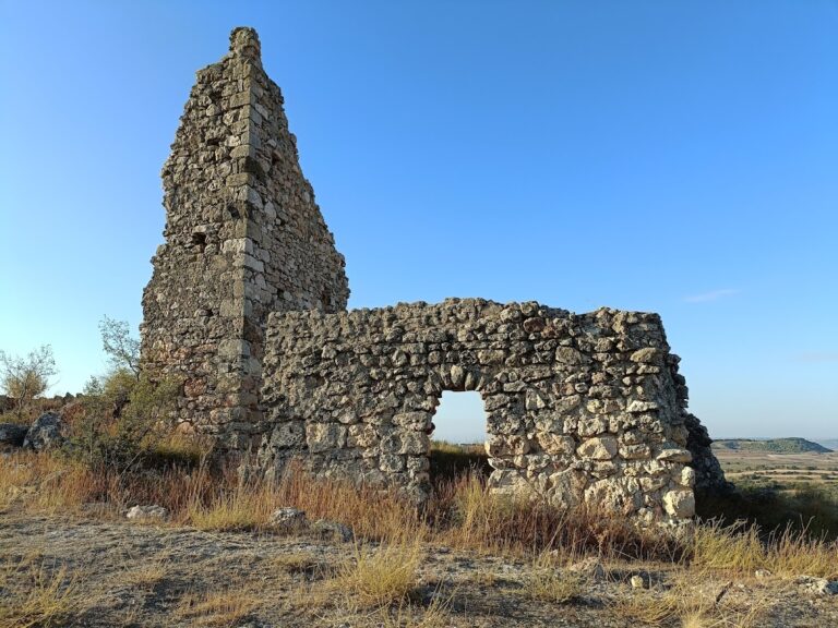
Within the castle enclosure are the ruins of a building known as the Church of San Miguel. It is a severely damaged structure with a single roof and a barrel vault. Its condition prevents certainty that it served as a chapel, and it may instead have been a dependency of the castle.
Nearby sites