Château de Lucéram: Medieval Castle and Fortifications in France


Site at a Glance
- Rating
- 4.5
- Popularity
- Very Low
- Country
- France
- Primary era
- Medieval
- Eras represented
- Medieval
- Civilizations
- County of Provence, Holy Roman Empire
- Site type
- Military
- Remains
- Wall
On this page10 sections
History
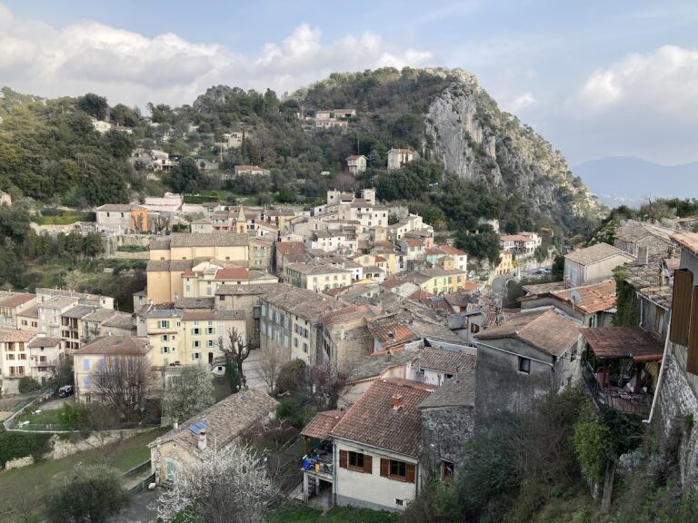
Château de Lucéram is a ruined medieval castle and fortified settlement in France, associated with the twelfth and thirteenth centuries, while its surviving urban rampart belongs chiefly to the fourteenth century. The site developed in a settlement whose strategic position connected La Turbie, Nice, Piedmont, and the Vésubie valley.
Roman and Medieval Origins
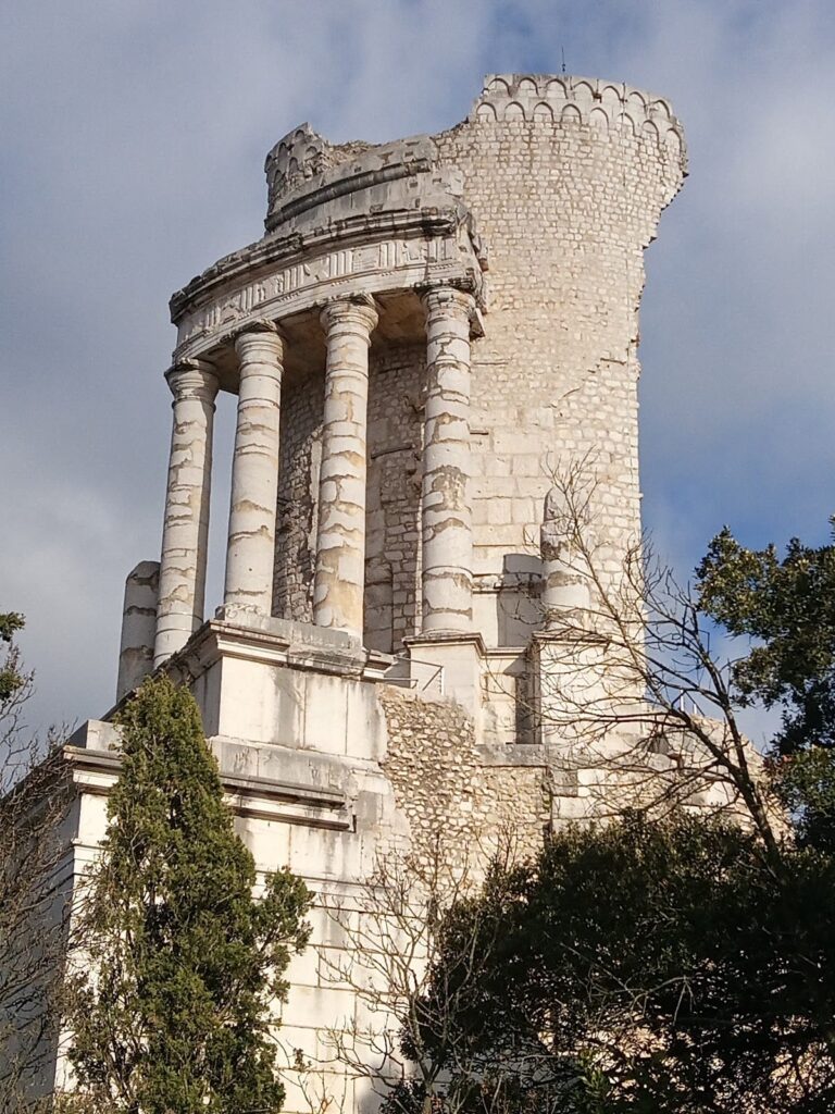
The Ligures, pre-Roman peoples of southeastern Gaul and the northwestern Italian region, reached Nice and its hinterland in the fifth century BC. Louis Durante identified Lucéram with the capital of the Lepontii, an Alpine people named on the Trophy of the Alps. The Lepontii were among the last groups defeated by the Romans in the Alpes-Maritimes. Roman coins and pottery indicate a Roman presence, possibly connected with a military post controlling the route toward the Vésubie valley.
Lucéram appears in written records in 1057 as Lucerammo, when a person named Luceranus or Lucerus was mentioned. By 1108, it was described as a fortified place. A castle was recorded in 1156 on a promontory near a church, perhaps on the site later occupied by the Chapel of Saint John. The surviving castle ruins are therefore associated with the twelfth and thirteenth centuries, although the precise location of the earliest structure remains uncertain.
Provençal Rule and Local Liberties
In 1272, the counts of Ventimiglia ceded their rights over Lucéram to the Count of Provence. A seigneurial residence was probably built during this period, and a doorway attributed to it survives in the northern wall of the Church of Sainte-Marguerite. The Count of Provence also granted the inhabitants a charter recognizing their franchises and administrative independence. Lucéram later formed an independent republican confederation with the neighboring communities of Peille and Utelle.
Lucéram belonged to the administrative district of the County of Ventimiglia and the Vésubie valley, whose seat was at Sospel. The counts of Provence renewed the district representatives’ right to meet in the county parliament in 1312, 1347, and 1382. In 1328, Lucéram and other communities signed an agreement with Tende to end a decade of guerrilla warfare and depredations.
Conflict and Savoyard Fortification
After the death of Joanna I of Naples, Charles of Durazzo and Louis of Anjou fought for control of Provence. During this conflict, the district’s general council met at Lucéram on 26 April 1383. Antoine de Castello, a notary from Lucéram, recognized Charles of Durazzo as Count of Provence on behalf of L’Escarène, Breil, and Saorge.
Lucéram also took part in the negotiations that led Nice and neighboring communities to submit to Amadeus VII, Count of Savoy, between 1388 and 1391. Lucéram, Levens, and Utelle protested that they had purchased their liberties from Queen Joanna and should not be required to pay homage to Savoy. Negotiation was pursued because these communities could defend their rights.
Population growth and the settlement’s position on the salt route between Nice and Piedmont through the Vésubie valley encouraged the construction of further defenses. The three access gates were built from 1388 onward, after Nice submitted to Savoy, and were closed at night to protect inhabitants and travelers from attack. In 1395, the governor of Nice, acting for the Count of Savoy, authorized new fortifications on the northern side of the village.
The Porte de l’Ièra was restored in a Moorish style around 1925. The fortification was listed as a historic monument on 28 February 1927 and remains owned by the commune of Lucéram.
Remains
Castle Promontory
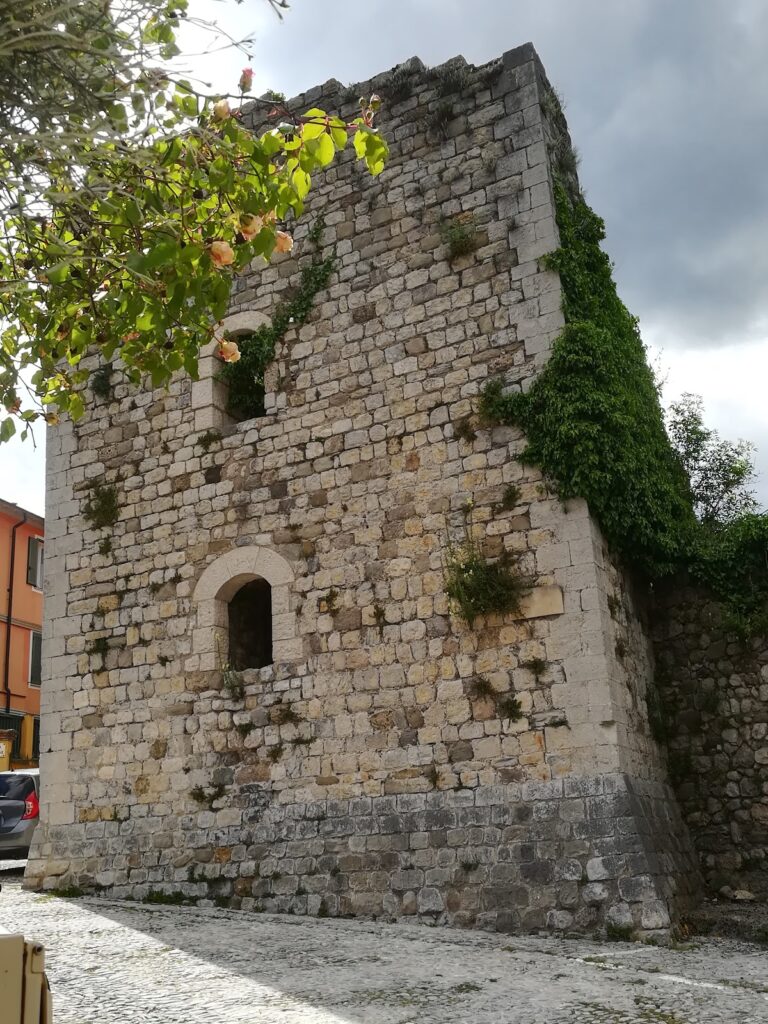
The castle stood on a promontory near a church, possibly at the site of the Chapel of Saint John. Its keep is open on the side facing the village. Two intermediate wooden floors, reached by ladders, gave access to the upper level. The tower served as a watch post over the surrounding area, while machicolations, projecting openings in the upper defenses, allowed defenders to drop projectiles onto attackers.
Fourteenth-Century Rampart
Walls and Wall-Walk
The surviving urban rampart extends north and south from the tower. About 40 metres of wall remain well preserved, and numerous houses have been built into the fortification. A wall-walk follows the ramparts, and the extent of the circuit around the enclosed defensive wall can still be discerned. Crenellations, formed by alternating raised sections and openings along the parapet, protected guards while allowing them to observe the surrounding area.
Northeastern Tower and Defensive Line
The later defensive line was built along the northern side of the village, where the terrain allowed an additional line of protection and the settlement was most exposed. Its northeastern corner contained a notable tower approximately 15 metres high. The tower was open at the rear and formed part of the rampart’s defensive arrangement.
Access Gates
Three rampart gates survive. The Porte de l’Ièra and the Porte du Terron stand on the northern rampart, while another gate is located beside the town hall. The northeastern gate opens toward Rue de la Tour on the village side. The Porte du Baous, formerly known as the Porte du Portau, has disappeared.
Nearby sites