Burg Krumbach: The Medieval Waldsberg Castle Ruin in Germany


Site at a Glance
- Rating
- 3.3
- Popularity
- Very Low
- Country
- Germany
- Primary era
- Medieval
- Eras represented
- Medieval
- Civilizations
- Holy Roman Empire
- Site type
- Military
- Remains
- Castle
On this page8 sections
History
Medieval Origins and Ownership
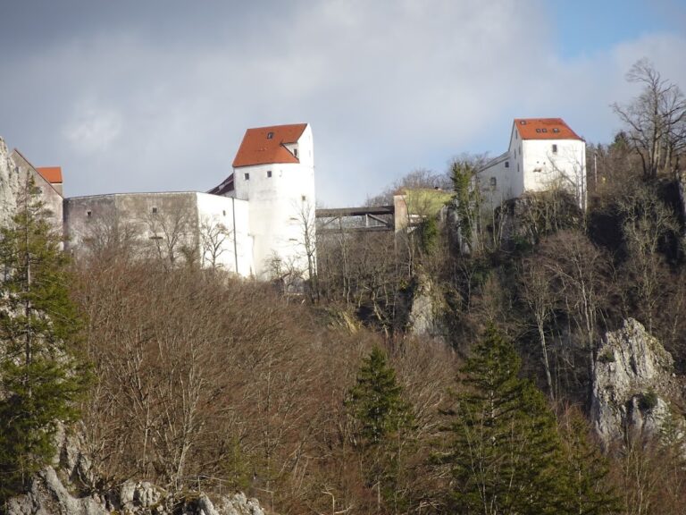
Burg Krumbach, historically recorded as Burg Waldsberg, is a thirteenth-century medieval castle in Krumbach, Germany, now part of Sauldorf in Baden-Württemberg. Built as a hilltop spur castle, a fortified site on a projecting ridge that uses surrounding slopes for protection, it stood on the southwestern edge of the settlement. The castle occupied a strategic rocky projection above the valley of the Krummbach.
The castle first appears in written records in 1303 under the name “Waltsberg.” That year, Burkhard von Waldsberg pledged the castle to Heinrich and Albrecht von Heudorf. He had acquired it from the Bishop of Constance, the senior ecclesiastical authority of the medieval Diocese of Constance. The Waldsberg family is mentioned in connection with the castle only in 1303 and 1324.
After another pledge in 1328, the castle and its associated lordship passed through changing ownership. Its later arrangement included an Old Castle, represented by the present ruin, and a New House that was probably situated south of the tower.
Outer Bailey and Later Demolition
The castle complex continued to include an outer bailey, the area outside the principal defensive enclosure, together with additions and service buildings. In 1788, all of these buildings were still standing. By the middle of the nineteenth century, they had been demolished, leaving the surviving ruin as the principal visible remnant of Burg Waldsberg.
Remains
Layout and Defenses
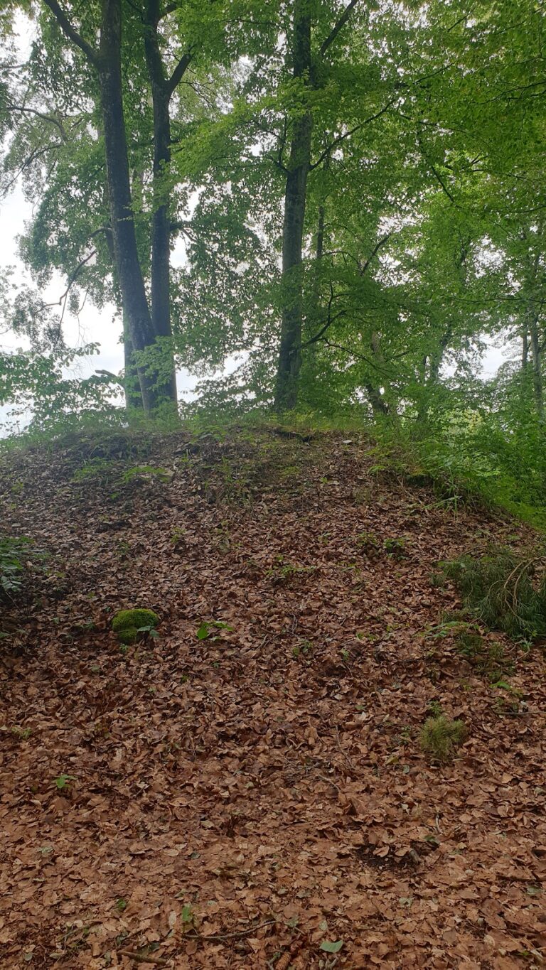
The two-part ruin stands at about 645 metres above sea level on the western edge of a plateau that extends northward toward the valley of the Krummbach. It occupies a rocky projection extending westward. The castle probably covered about 0.6 hectares, while the surviving ruin occupies approximately 600 square metres. A neck ditch probably lay east of the defensive enclosure, with the outer-bailey area extending east and southeast of it.
Ring Wall and Corner Tower
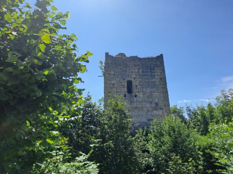
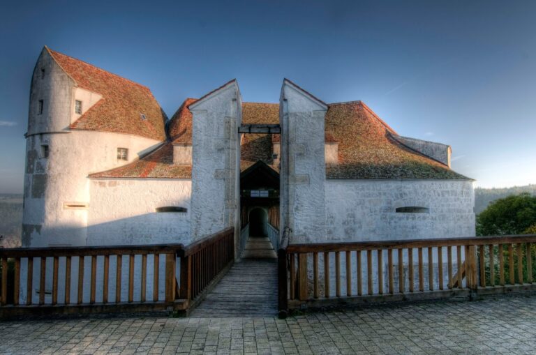
The surviving defensive enclosure includes the square masonry of a ring wall, a wall surrounding the principal castle buildings. Only its eastern side retains standing masonry, which is built from ashlar, or dressed stone blocks. A square tower forms the southeastern corner of the enclosure. It survives up to 6 metres high, measures 8 metres on each side, and has walls about 2.5 metres thick. Its interior covers approximately 10 square metres, while its western side is heavily destroyed.
The tower was constructed from regularly laid limestone ashlar blocks, with rusticated ashlar at the corners. Rustication uses dressed blocks whose outer faces project from the wall surface, giving the corners a more pronounced finish. A remnant of a window remains in the southern wall.
Northern Wall Line
From the tower’s northeastern corner, the ring wall runs northward and survives to a height of up to 2.5 metres. It is as much as 2 metres thick. About 15 metres before the northern steep slope, the wall turns at a right angle toward the west. It also turns slightly westward at a point 6.4 metres from the northeastern corner, preserving part of the castle’s original enclosure plan.
Outer Bailey Area
The outer-bailey area lay east and southeast of the presumed neck ditch. It contained the castle’s service buildings and other additions, which were still standing in 1788 before being demolished by the middle of the nineteenth century. The castle’s later two-part arrangement also included a New House probably located south of the tower, while the present ruin represents the Old Castle.
Nearby sites