Burg Hohenrode: A Medieval Hilltop Castle in Germany


Site at a Glance
- Rating
- 4
- Popularity
- Very Low
- Country
- Germany
- Primary era
- Medieval
- External website
- Open
- Eras represented
- Medieval
- Civilizations
- Holy Roman Empire
- Site type
- Military
- Remains
- Castle
On this page6 sections
History
Burg Hohenrode, also known as Hünenburg, is the ruin of a medieval hilltop and rampart castle in Germany near Hohenrode and Rinteln. Count Konrad I of Roden built it around 1170 on a northern spur of the Lipper Bergland, continuing the regional stronghold tradition of the Counts of Roden. The castle’s position above the Weser valley gave it a place within the political landscape of the twelfth century.
Foundation and destruction
By around 1130, the Counts of Roden had established Burg Roden near Hessisch Oldendorf as a stronghold above the Weser. Around four decades later, Konrad I of Roden constructed Burg Hohenrode. Its history was soon affected by the conflicts surrounding Henry the Lion, the twelfth-century Duke of Saxony and Bavaria whose disputes with rival nobles shaped regional politics. Schaumburg troops under Count Adolf III of Schaumburg destroyed the castle in either 1180 or 1181 because Konrad I had supported Henry the Lion.
Later use and archaeological investigation
Destruction did not immediately end the site’s use. Pottery indicates that the castle continued to be occupied or used until the fourteenth century. Excavations between 1932 and 1934 recovered iron objects, including parts of knives and scissors. After the fourteenth century, stone robbing removed most of the above-ground structures, leaving the defensive earthworks and limited wall fragments to preserve the outline of the medieval stronghold.
Remains
Fortifications and site setting
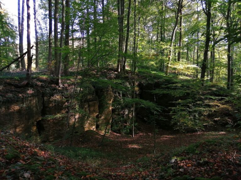
The castle occupies an approximately 55-by-100-metre plateau on the 230.2-metre-high Hünenburg, a northern spur of the 344.5-metre Rumbecker Berg in the Lipper Bergland. The ground descends northward toward the Weser valley. A mortared enclosing wall followed the plateau, while a deep ditch, approximately 12 to 20 metres wide, surrounded the fortification. On the western side, a level strip of ground between the wall and ditch formed a berm. Earthwork ramparts protected the northern and southern approaches.
The surviving physical remains consist of the castle ditch, fragments of the enclosing wall, and the earthwork ramparts. Together, these features define the fortified plateau even though stone robbing removed most of the castle’s former buildings above ground.
Internal layout and archaeological finds
Funnel-shaped depressions within the enclosure indicate buildings that once had basements. A plan made in 1878 records a masonry quadrangle measuring approximately 14 by 20 metres along the southwestern long side of the plateau. A wall extending northeast from this structure divided the castle into two halves, providing evidence for an organized internal layout.
Excavated pottery helps trace the site’s period of use. The finds include globular-pot ware from the twelfth century, as well as later earthenware and Siegburg stoneware, a hard-fired ceramic associated with pottery production at Siegburg. These materials correspond with the castle’s continued use after its destruction and into the fourteenth century.