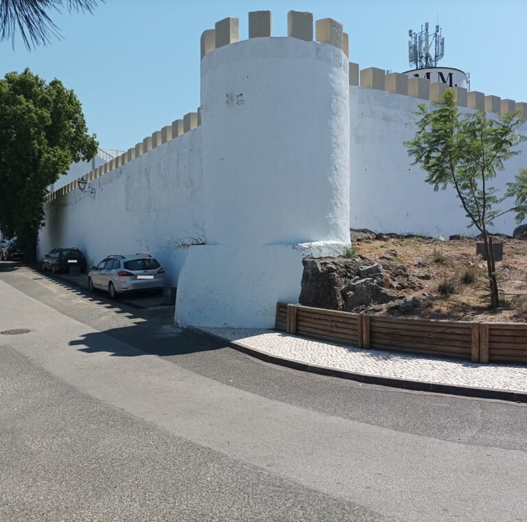
Castle of Alter Pedroso: Medieval Fortification and Ruins in Portugal

Site at a Glance
- Rating
- 4.5
- Popularity
- Very Low
- Country
- Portugal
- Primary era
- Medieval
- Eras represented
- Medieval
- Civilizations
- Portuguese
- Site type
- Military
- Remains
- Castle
On this page6 sections
History
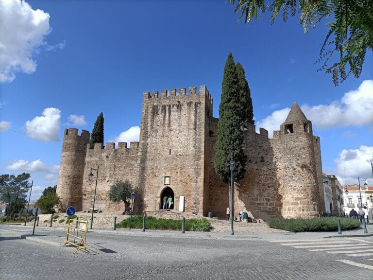
Castle of Alter Pedroso is a medieval fortified site in Portugal, built in the thirteenth century within the defensive landscape of Alentejo. It formed an important link with nearby strongholds, including the Castle of Alter do Chão. Between the twelfth and thirteenth centuries, the hill was a fortified settlement in a broad area of Muslim settlement before Christian forces conquered it during the thirteenth century.
Medieval control and reconstruction
In 1211, the fortifications belonged to the domains of the Order of Aviz, a Portuguese military-religious order that held territory and defended Christian frontier areas. In 1216, King Afonso II issued a foral, a medieval charter defining a settlement’s rights, obligations, administration, and privileges, to Fernando Anes. On 30 June 1249, King Afonso III reissued the donation to the Order of Aviz.
The castle’s construction is dated to the thirteenth century, and its reconstruction is attributed to King Denis of Portugal. During his reign, from 1279 to 1325, a small hermitage dedicated to Saint Benedict was built at the site. The religious building formed a separate element within the medieval defensive setting and later became known as the Hermitage of São Bento.
Destruction and later changes
During the Portuguese Restoration War, the seventeenth-century conflict in which Portugal fought to regain independence from the Spanish monarchy, John of Austria and Spanish forces captured Alter Pedroso in 1662. The castle was practically ungarrisoned and was destroyed, leaving the fortification in ruins.
A cemetery was established near the site in 1886. In 1940, construction of the municipal road destroyed the southwestern line of walls, and the masonry was reused in the road. A geodesic marker and a lookout were later installed, followed by a municipal reservoir. The remains were classified as a Property of Public Interest by decree on 29 September 1977. Responsibility for the property passed to the Portuguese Institute of Architectural Patrimony on 1 June 1992 under Decree 106F/92. The property is owned by the Portuguese Republic.
Remains
The castle occupies an isolated rural hilltop about 413 metres above sea level. Rocky cliffs bound the site, while hedgerows connect it with Rua do Castelo in the village of Alter Pedroso. The surviving walls and corbels are distributed across an elliptical area, with a major northern segment measuring about 86 metres and a smaller southern segment measuring about 50 metres. The remains are built in masonry and rammed earth.
Castle enclosure
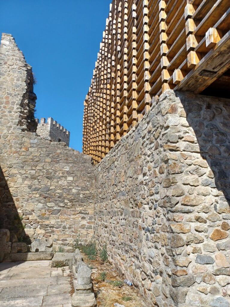
The surviving defensive fabric includes the base of a 13.5-metre wall on the west, a 3.3-metre wall line on the north connected to the rocks, and a small eastern wall also linked to the natural rock. In the south and southeast, two interconnected wall lines form an obtuse angle. Each is 1.6 metres wide and between 6.2 and 10.5 metres long, ending at a 2.9-metre corbel, a projecting structural support. The foundations of a 16-metre southern wall extend from the cemetery to another corbel.
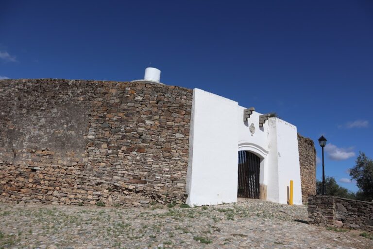
The southern gate retains a Gothic ogive arch, a pointed arch formed by two curved sides meeting at an apex. Granite blocks frame the opening, which measures between 1.9 and 2.4 metres. A wall segment extends northwest from the gate. The gate, parts of the ruined walls, and the doorway of the Chapel of São Bento survive from the earlier structure.
A geodesic marker, a fixed surveying point used to measure and map the land, stands within the former castle courtyard at 412.83 metres above sea level. The hill reaches 420.9 metres. A small cistern 1.9 metres deep lies east and south of the lookout, while firefighters’ observation facilities, the municipal reservoir, and the cemetery occupy areas to the southeast, south, and southwest.
Hermitage of São Bento
The ruins of the Hermitage of São Bento lie immediately below and west of the castle. The small chapel has a simple longitudinal plan. Its nave measures 4 by 4.9 metres and opens through a rounded triumphal arch into a chancel, the part of a church reserved for the altar and clergy, measuring 2.15 by 4.10 metres. The chancel contains the remains of a niche 0.47 metres wide.
The hermitage is described as having 13 compartments and walls 50 centimetres thick. Its portico has a chamfered arch constructed in tile masonry. A surviving west-to-east compartment, measuring 4.75 by 3.40 metres, served as an atrium and contained a structure for a bell. It was accessible from the doorway and the cemetery.
Nearby sites