Glengarnock Castle: A Ruined Medieval Fortification in Scotland


Site at a Glance
- Rating
- 4.6
- Popularity
- Very Low
- Country
- United Kingdom
- Primary era
- Medieval
- Eras represented
- Medieval, Early Modern
- Civilizations
- Kingdom of Scotland
- Site type
- Military
- Remains
- Castle
On this page12 sections
History
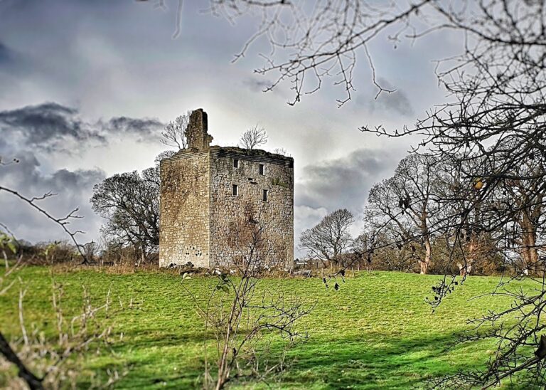
Glengarnock Castle is a ruined aristocratic fortification in the United Kingdom, about 3 kilometres north of Kilbirnie in North Ayrshire. Its construction date and builder are uncertain, but the castle is generally assigned to the fifteenth or sixteenth century, within the period around 1400 to 1542. It stood on the former Barony of Glengarnock, one of the three feudal baronies that made up the parish of Kilbirnie.
The De Morvilles and the medieval barony
During the twelfth and thirteenth centuries, the lands were administered for the Scottish king by the De Morville family. The De Morvilles held the hereditary office of Great Constable of Scotland, placing them among the kingdom’s principal officers responsible for royal military and administrative authority. A castle may have been established at Glengarnock during their control of the area, partly because the site had a convenient relationship to Kilwinning Abbey, which the family founded.
The barony later passed first to the Riddels and then to the Cunningham, or Cunninghame, family. The Cunninghames retained Glengarnock Castle until the beginning of the seventeenth century. The castle had been abandoned by the eighteenth century, while the barony continued to pass through a series of owners.
The Cunninghames and later ownership
In 1563, Mary, Queen of Scots, visited the castle. She was Scotland’s Stuart monarch from 1542 to 1567. Sir James Cunningham later built the Glengarnock Aisle at Kilbirnie Auld Kirk in 1597, linking the family’s local position to a surviving religious structure.
In 1609, Sir James Cunningham assigned the lands of Glengarnock to his creditors and went to Ireland. There he managed a large estate granted to him by King James VI, who had ruled Scotland since 1567 and became James I of England in 1603. The creditors sold the Glengarnock estate to a Cunningham of Robertland, but his son was unable to retain it. Adam Watt, Clerk to the Signet, then acquired the property and sold it in 1630 to the husband of the heiress of Kilbirnie. The Clerk to the Signet was an official connected with the Scottish office that authenticated legal documents issued under royal authority.
The Honourable Patrick Lindsay of Kilbirnie Castle purchased Glengarnock Castle and its estate from Richard Cuninghame, the last of the Cuninghames of Glengarnock, in 1677. In 1707, the baronies of Glengarnock and Kilbirnie were united as the Barony of Kilbirnie. Its principal residence then became Kilbirnie Castle, also known as Kilbirnie Place, rather than the older Glengarnock stronghold.
Collapse and preservation
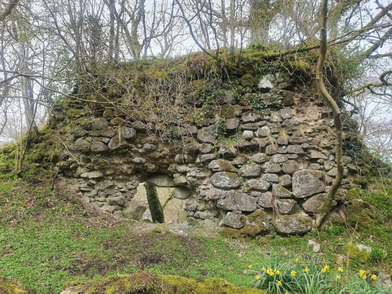
A storm caused part of the ruins to collapse in 1839. William Cochran Patrick of Ladyland arranged stabilization work in 1841. The work secured undermined foundations, dismantled and substantially restored unstable sections of walling, repointed the masonry with mortar, and cleared rubbish and soil from the interior. The ruins have continued to deteriorate, but these repairs preserved considerably more of the structure than would otherwise have survived. Glengarnock Castle is now a Scheduled Monument, a legally protected archaeological or historic site considered to be of national importance.
Remains
Promontory and approach
Glengarnock Castle occupies a rocky promontory, or precipitous ridge, above the River Garnock. The river skirts two sides of the knoll, and a ravine beneath it reaches approximately 24 metres in depth. The castle’s only approach came from the northeast, where the ridge joined an adjoining field.
A depression about 30 metres from the entrance marks the former dry moat, a defensive ditch without standing water. In 1956, it was measured at approximately 30 metres long, 4 metres deep on average, and 8 metres wide. The approach was protected by the moat and a drawbridge, which provided a movable crossing over the ditch. Evidence identified in 1964 indicated that a small building, possibly a farmstead, stood between the moat and the castle.
Keep and courtyard
Entrance passage and domestic ranges
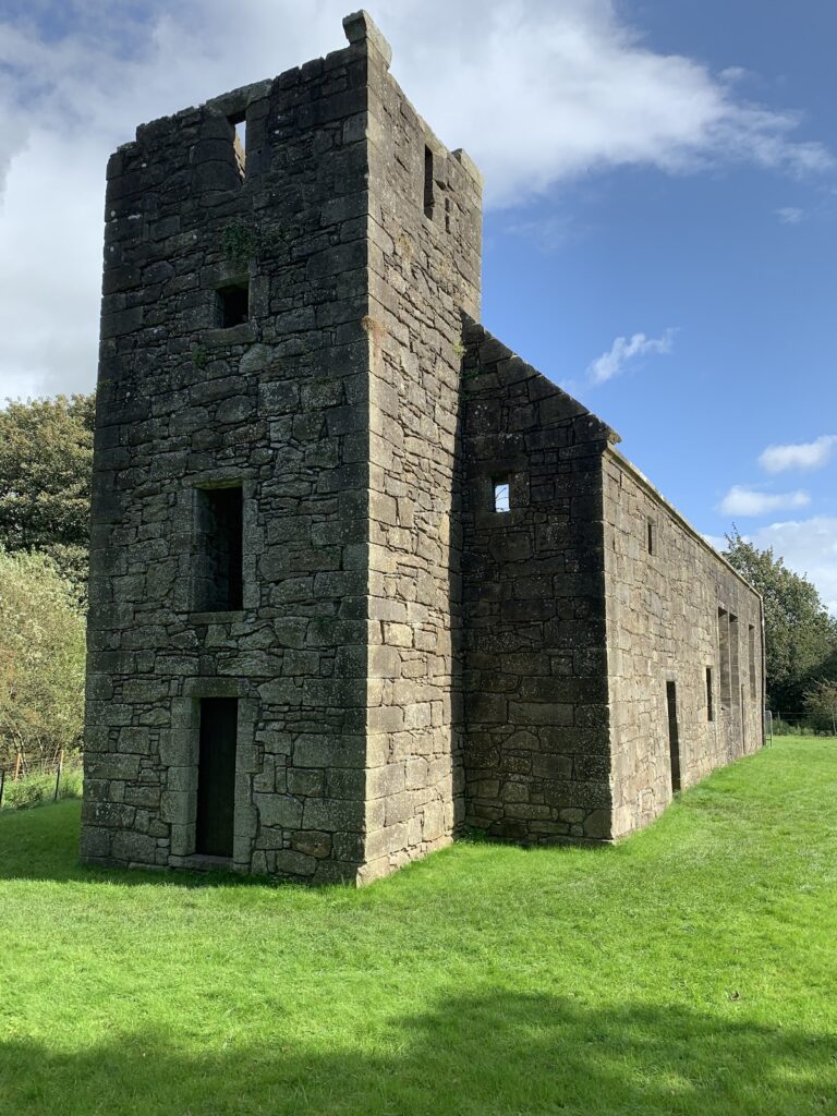
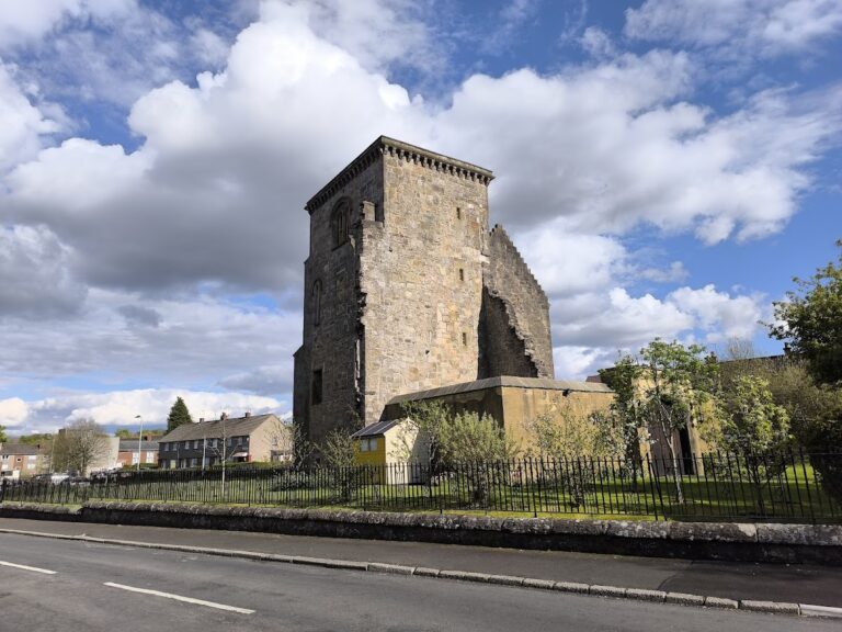
The castle consisted of a keep, the principal fortified tower, with an attached courtyard and later buildings within it. The main complex included a quadrilateral tower and lower buildings extending along its east side. The eastern facade measured approximately 14 metres in length and 7.3 metres in height, with the entrance at its eastern end.
An 18-metre-long court or passage extended between the entrance and the tower. Two-storeyed ranges of domestic apartments stood on either side, forming the principal enclosed accommodation around the approach. The surviving masonry is built of rubble stone, and the complex is now in ruinous condition.
Fortified tower
The tower measured approximately 13.7 to 14 metres in length and 10 metres in width. Its original height exceeded 12 metres, and part of the exterior walling remained close to its original height when described in the nineteenth century. The upper surviving and accessible storey contained a hall that filled the space within the tower walls. Its vaulted ceiling reached approximately 6 metres in height, while windows opened both toward the courtyard and through the outer walls.
A narrow circular staircase led from the hall to the upper part of the tower, which was enclosed by a parapet wall. One window overlooked the ravine carrying the Garnock, while two narrow openings on the east side faced across the surrounding district associated with the castle’s former lords. The ruins show no arrow slits or gun ports. The naturally defensible position may have reduced the need for such openings.
Archaeological deposits and river feature
Castle midden
A substantial midden, an accumulation of discarded domestic or industrial material, built up below the castle. The deposit, described in the 1890s, consisted largely of ash from the low-quality coal typical of the area, together with broken tile fragments and patterned glass whose edges had become chipped and roughened. These materials form part of the physical evidence for activity associated with the ruined stronghold.
Garrat’s Linn
Garrat’s Linn lies directly below the ruins on the River Garnock. The name uses linn, a Scots term for a pool in a river, and refers to the pool formed at this point beneath the castle.