Burgruine Stierberg: A Medieval Castle Ruin in Bavaria


Site at a Glance
- Rating
- 4.1
- Popularity
- Very Low
- Country
- Germany
- Primary era
- Medieval
- Eras represented
- Medieval, Early Modern
- Civilizations
- Holy Roman Empire
- Site type
- Military
- Remains
- Castle
On this page11 sections
History
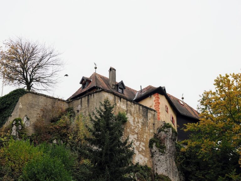
Burgruine Stierberg is the ruin of a high-medieval noble castle in Germany, above the village of Stierberg, now a western district of Betzenstein in Bavaria. Built around 1200, it was associated with ministerials, members of the lower nobility who served ecclesiastical or secular lords in administrative, military, and estate-management roles. The castle later became a Bamberg episcopal holding, a territorial possession governed by the Bishopric of Bamberg, before passing through several noble and urban authorities.
Origins and Bamberg connections
The name Stierberg first appears in 1187, when Otnand of Stierberg was recorded as a canon of Bamberg Cathedral. Poppo of Stierberg appears in records from 1188 and 1216 and was probably Otnand’s brother. Although the castle was constructed around 1200, these Bamberg ministerials probably did not build it. Their family died out between 1281 and 1285, after which the castle passed to the Bishopric of Bamberg.
Burgruine Stierberg is first mentioned as a castle in 1308, in the will of the nobleman Gottfried of Schlüsselberg. A Bamberg episcopal land register from 1323 to 1327 described it as a castle belonging to the Bishopric of Bamberg. Before that entry was made, the property had probably passed to the related Leuchtenberg family through a pledge, a transfer of control used as security for an obligation, which Bamberg did not redeem. In 1316, Landgrave Ulrich of Leuchtenberg placed the castle in fief, property held from a superior lord in return for service or loyalty, to Archbishop Balduin of Trier, probably to secure his title against Bamberg.
Leuchtenberg and Palatine ownership
In 1356, the castle was sold to Charles IV, the king of Bohemia and Holy Roman Emperor. The Leuchtenbergs later became involved in a feud with the Bishopric of Bamberg and were forced to sell their fief to the Nuremberg patrician Peter Haller in 1400. The property had returned to the Leuchtenbergs by 1407. In 1417, they sold it permanently to Count Palatine John of Neumarkt-Neuenburg.
The castle changed hands during the Landshut War of the Succession, a Bavarian conflict over dynastic inheritance fought in 1504 and 1505. Nuremberg forces captured Stierberg on 2 July 1504. Ludwig of Eyb the Younger of Hartenstein, the Palatine commander, recaptured it in October, damaging the lower castle during the operation.
Nuremberg administration and destruction
After the war ended in Nuremberg’s favor, the city acquired the castle in 1505. Repairs were completed by 1515, and Stierberg became the seat of a district administrative office, known as a Pflegamt, which was overseen by an administrator. Its role changed decisively during the Second Margrave War, a major conflict in the Holy Roman Empire from 1552 to 1554. In 1553, Margrave Albert Alcibiades shelled and captured the castle, then burned it.
Reconstruction began in 1555 but was soon abandoned. The administrator was ordered to establish his residence in Betzenstein, making Stierberg redundant as an administrative centre. Parts of the lower castle continued to receive repairs during the sixteenth century, while a bailiff’s house, a granary, and various service buildings were constructed. Structural decay led to the replacement of the bailiff’s house in 1778, and the granary disappeared in 1799.
Considerable remains still stood in 1806. During the nineteenth and twentieth centuries, further losses probably resulted in part from the use of the castle as a stone quarry.
Remains
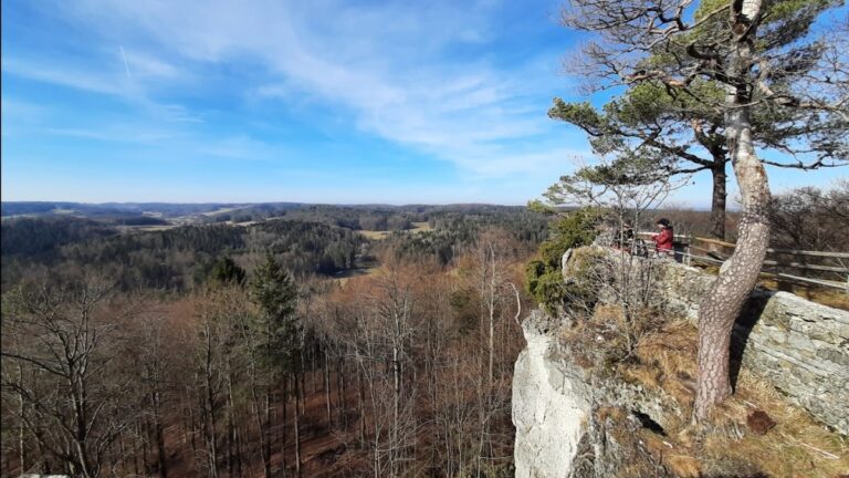
The ruins occupy Schlossberg, a long, wooded rocky ridge running from northeast to southwest within the Franconian Switzerland–Franconian Jura Nature Park. The castle stands at about 580 metres on a saddle between the ridge’s northeastern summit, at 596 metres, and its southwestern summit, at 594 metres. A separate eastern summit reaches 559 metres. Stierberg was a spur castle, divided between an upper castle on a rocky outcrop and a lower castle at the outcrop’s northwestern foot and within the northern saddle.
Upper castle
The upper castle covered approximately 60 by 30 metres. Its rocky outcrop drops almost vertically by as much as 20 metres on most sides, while the northeastern approach rises steeply by about 18 metres. A probable second approach came from the southeast, where steep, ravine-like stairs ascended from the walled area before the southern exit of the castle cave.
Walls and residential buildings
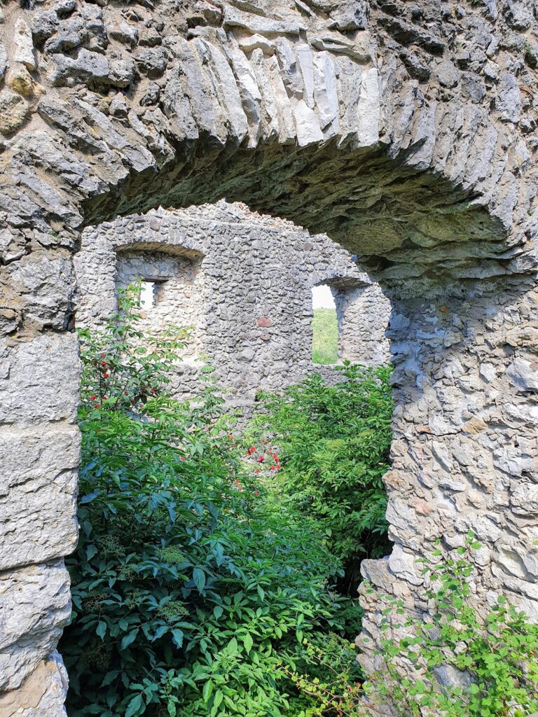
Limited sections of the upper castle’s curtain wall and a tower, probably the keep, survive. The masonry consists of rubble stone, with small ashlar blocks used as facing in places. This facing remains chiefly in the southern upper castle and on the tower’s northwest side, where decay threatens the surviving stonework.
A substantial wall fragment on the northeastern side is probably part of a building. It measures about 11 metres in length, stands 6 to 8 metres high, and is approximately 1.3 metres thick. Two buttresses and a corbel stone project from its outer face. The fragment probably belonged to the large residential hall, or Kemenate, a heated residential building or chamber, in the southeastern part of the upper castle. A smaller Kemenate may have stood beside it.
Entrance and water supply
The northeastern entrance probably connected the lower saddle with the upper castle by stairs passing through a gatehouse or gate tower. An engraving from 1799 depicts this arrangement. The upper castle also included a cistern, forming part of the facilities that supported activity on the elevated rocky outcrop.
Lower castle
The lower castle lay about 20 metres below the upper castle, at the northwestern foot of the rocky outcrop and across the northern saddle. The 1778 bailiff’s house now occupies part of its area. The former granary survives in terrain traces and a fragment of foundation masonry. From Stierberg, the approach entered the lower castle through a gate passage in the northwestern area, where a gatehouse or gate tower formerly stood. A second cistern remains visible in the southern part of the lower castle.
Northern round tower
A conspicuous round tower stands on a rocky tower at the northern end of the lower castle. Built of rubble stone, it measures 5.5 metres in diameter, with walls 1.3 metres thick and a surviving height of 6 metres. Its entrance has a segmental arch and faces the lower castle; access was possible only by ladder. Tile fragments below the tower indicate that it carried a tiled roof. Incorporated into the lower castle’s enclosing wall, the tower defended the castle against attacks from the north.
Castle cave and southern approach
The castle cave is a natural cavity enlarged by human activity. It passes through the upper castle’s rocky outcrop and probably served, among other purposes, as a castle cellar. Three entrances connected it with the surrounding castle area: a northern opening in the lower-castle area, a southern opening, and a western opening.
The western opening was walled up except for an embrasure and is now blocked. The southern opening was also largely enclosed by masonry, leaving a small square opening. About 2 to 4 metres in front of it stands a fortification resembling a shield wall. The wall and the rock face form a small forecourt before the southern entrance. From there, a steep stairway led upward between the rocky outcrop and a projecting rock tower, on the slope of a short saddle connecting the two. A tower probably stood on the projecting rock tower as well.
The purpose of this southern approach and its fortification remains uncertain. It may have allowed an attack against an enemy who had entered the lower castle from the rear. Another possibility is that it helped transport supplies from the cave cellar to the upper castle, perhaps by hoist.