Hünselburg: An Early La Tène Hillfort in Germany

Site at a Glance
- Rating
- 4.8
- Popularity
- Very Low
- Country
- Germany
- Primary era
- Iron Age
- Eras represented
- Iron Age
- Civilizations
- Celtic
- Site type
- Military
- Remains
- Fort
On this page7 sections
History
Hünselburg is the former site of a rural hilltop refuge fortification in Germany, near Nieder-Werbe and Asel in northern Hesse. It dates to the early La Tène period, an Iron Age cultural period associated with Celtic communities across much of central and western Europe. Pottery sherds and glass beads provide archaeological evidence for activity at the site.
An Iron Age spur fortification
Hünselburg was a hillfort, meaning a fortified settlement or refuge established on elevated ground. More specifically, it was a spur fortification, using the projecting form of a ridge or hill as part of its defensive position. The refuge occupied Lindenberg, a narrow and cliff-rich hill spur, whose steep sides helped protect the summit and the surrounding area.
Modern protection
Hünselburg is designated as a cultural monument. Its southern landform has been protected as the Hünselburg Nature Reserve since 1977. The reserve originally safeguarded an abandoned grey heron colony and now emphasizes nationally important near-natural woodland and process protection, an approach that allows natural ecological processes to continue with minimal direct management. The site lies in the northern part of Kellerwald-Edersee National Park and partly within the cadastral territories of Nieder-Werbe and Asel.
Remains
Hilltop setting and defensive works
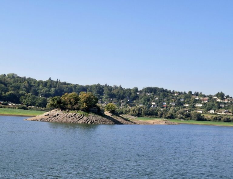
The fortification occupied the summit and adjoining ground of Lindenberg, at an elevation given as about 376 metres above sea level, although 368 metres is also cited. The spur drops sharply to the west and east. When the Edersee reservoir is sufficiently full, water surrounds it on the west, south, and east. At full reservoir level, the summit stands about 131 metres above the water surface, whose stated elevation is 244.97 metres above sea level. The site lies between Eder river kilometres 62.5 to the west and 60.0 to the east.
North-side ramparts
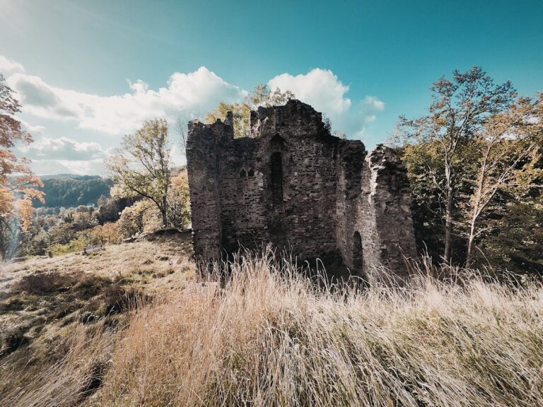
Only the fortification’s ramparts and ditches survive. On the north side, three substantial ramparts were built across the spur to block access. They are conspicuously widely spaced, with about 500 metres between them, giving the defensive system a multi-part layout.
South-side ramparts
At least two section ramparts remain identifiable on the southern side. The two innermost ramparts are the best preserved parts of the surviving defensive works.
Nearby sites